Red Moss
Downs, Moorland in Kincardineshire
Scotland
Red Moss

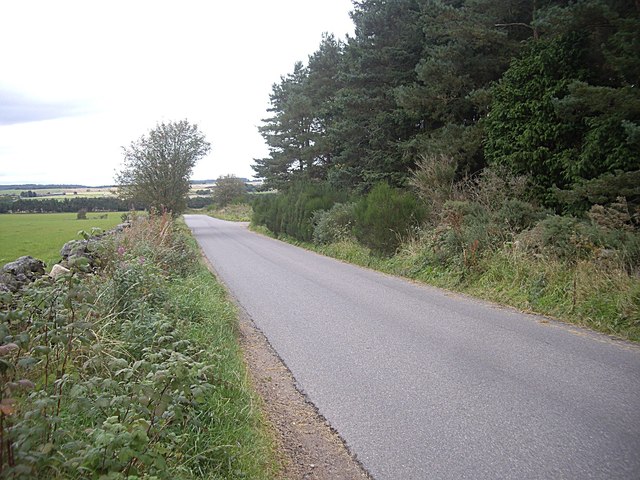
Red Moss is a vast expanse of downs and moorland located in Kincardineshire, Scotland. Covering an area of approximately 500 hectares, it is known for its stunning natural beauty and unique ecological features. The moss comprises a mixture of heathland, peat bog, and scattered woodland, creating a diverse habitat for a variety of plant and animal species.
The downs of Red Moss are characterized by their gently rolling hills and open grasslands, providing a picturesque landscape that stretches as far as the eye can see. These downs are home to a range of wildflowers, including heather, bog cotton, and harebell, which burst into vibrant colors during the summer months. The area is also known for its rich birdlife, with species such as lapwings, curlews, and skylarks frequently spotted soaring above the moorland.
Visitors to Red Moss can enjoy a network of well-maintained walking trails that meander through the different habitats, offering breathtaking views of the surrounding countryside. The moss is particularly popular among nature enthusiasts, birdwatchers, and photographers, who flock to the area to capture its natural beauty and observe its diverse wildlife.
Red Moss is not only a haven for flora and fauna but also an important site for the preservation of peatland ecosystems. Its peat bogs play a crucial role in carbon sequestration and water regulation, contributing to the overall health of the region's environment.
Overall, Red Moss in Kincardineshire is a remarkable natural landscape that showcases the beauty and diversity of Scotland's downs and moorland. Its unique ecological features make it a significant area for conservation and an ideal destination for outdoor enthusiasts seeking to connect with nature.
If you have any feedback on the listing, please let us know in the comments section below.
Red Moss Images
Images are sourced within 2km of 57.103059/-2.4184606 or Grid Reference NJ7401. Thanks to Geograph Open Source API. All images are credited.


Red Moss is located at Grid Ref: NJ7401 (Lat: 57.103059, Lng: -2.4184606)
Unitary Authority: Aberdeenshire
Police Authority: North East
What 3 Words
///fleet.laminate.defected. Near Banchory, Aberdeenshire
Nearby Locations
Related Wikis

Echt, Aberdeenshire
Echt (Scottish Gaelic: Eicht) is an Aberdeenshire crossroads village in northeast Scotland with a population of approximately 300 people. Echt has a number...
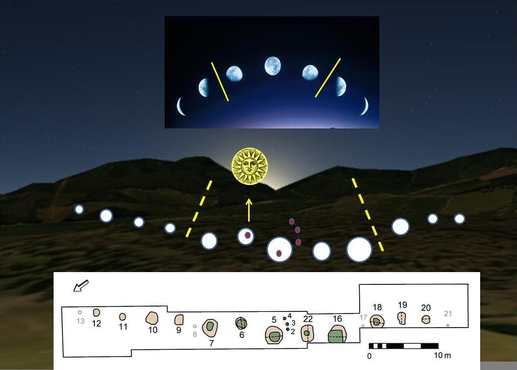
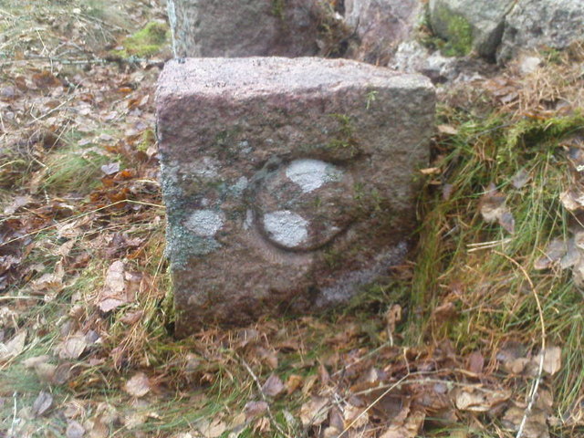
Warren Field
Warren Field is the location of a mesolithic calendar monument built about 8,000 BCE. It includes 12 pits believed to correlate with phases of the Moon...
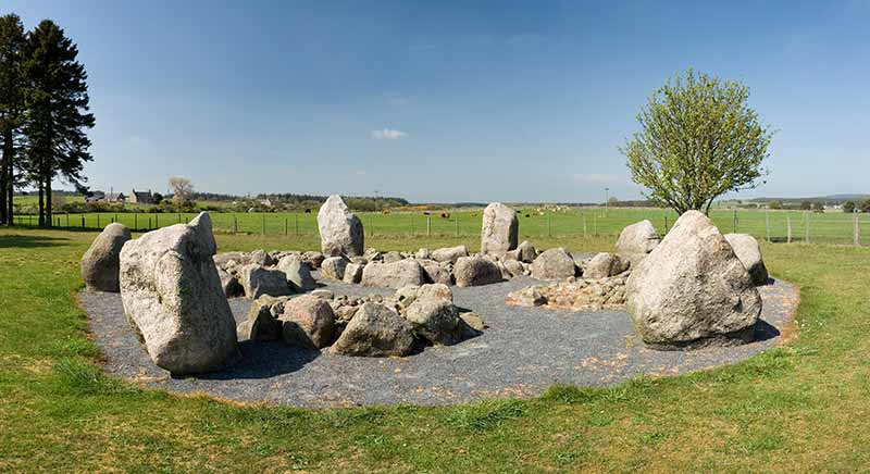
Cullerlie stone circle
Cullerlie stone circle, also known as the Standing Stones of Echt, is a small stone circle situated near Echt, Aberdeenshire. It consists of eight irregular...

Mills of Drum railway station
Mills of Drum railway station was opened in September 1853 by the Deeside Railway and served the rural area around Park House and Crathes estates at the...
Have you been to Red Moss?
Leave your review of Red Moss below (or comments, questions and feedback).