Boot of the Wold

Downs, Moorland in Yorkshire South Lakeland

England

Boot of the Wold

On the Dales Way between Rivling & Little Town, Dentdale
On the Dales Way between Rivling & Little Town, Dentdale Credit: Colin Park

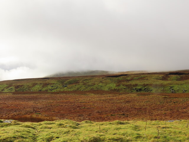
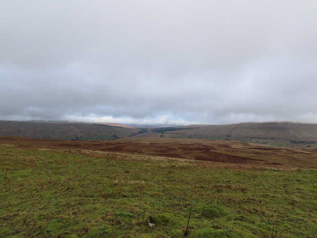
Boot of the Wold is a small village located in the Yorkshire Downs, surrounded by vast stretches of beautiful moorland. Situated in the northern part of England, it is known for its scenic landscape and serene atmosphere. The village is nestled at the foot of the Wold, a gentle slope that offers stunning views of the surrounding countryside.

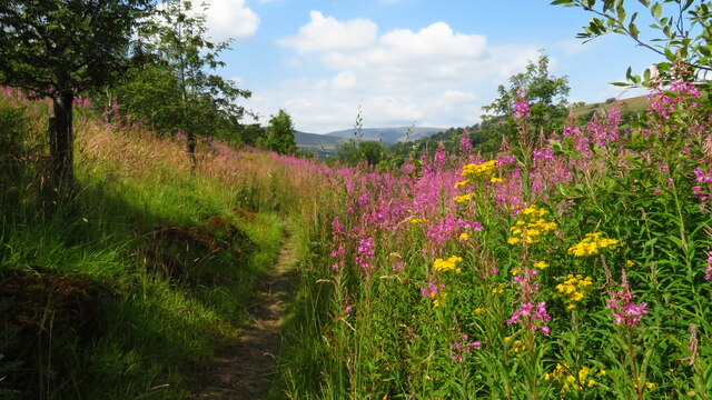
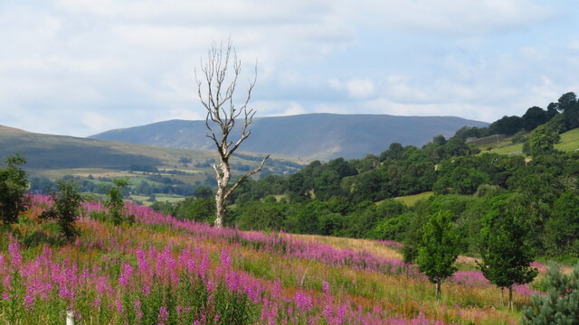
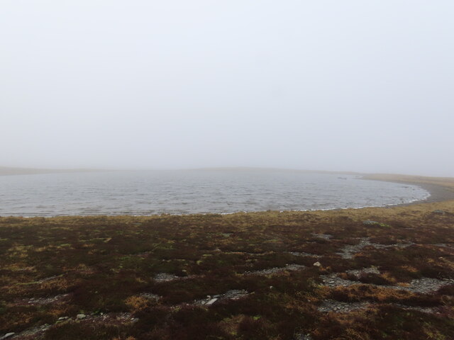
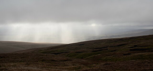
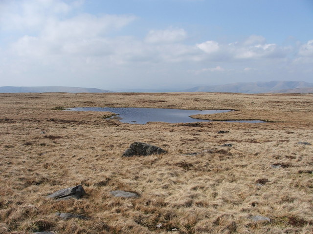
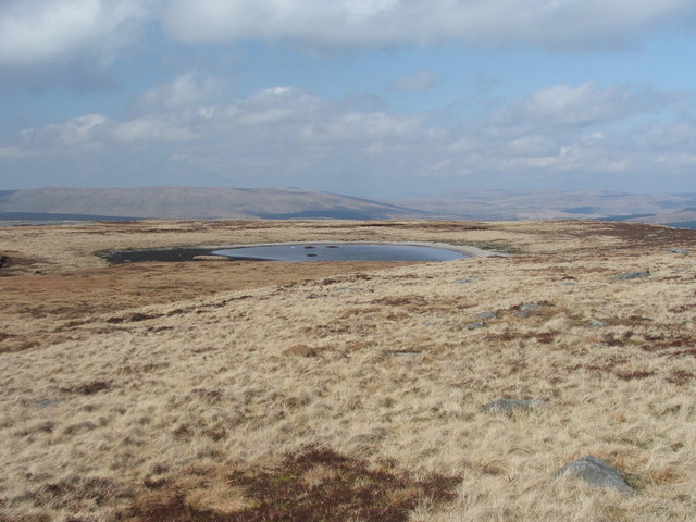
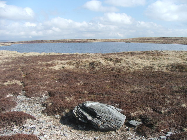
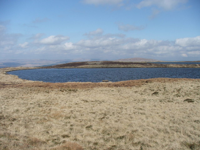
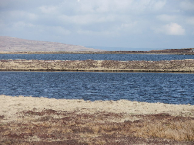
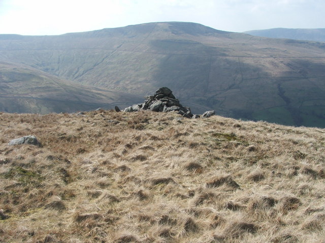
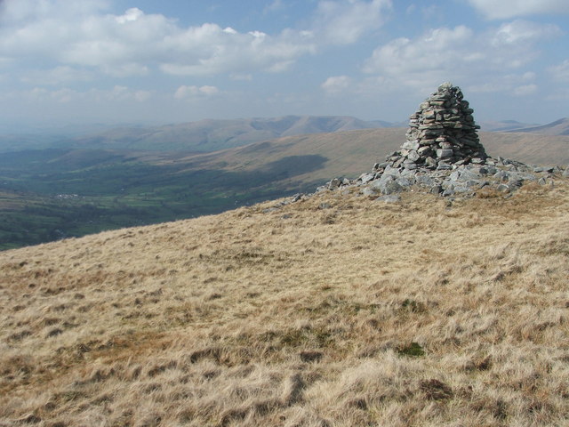
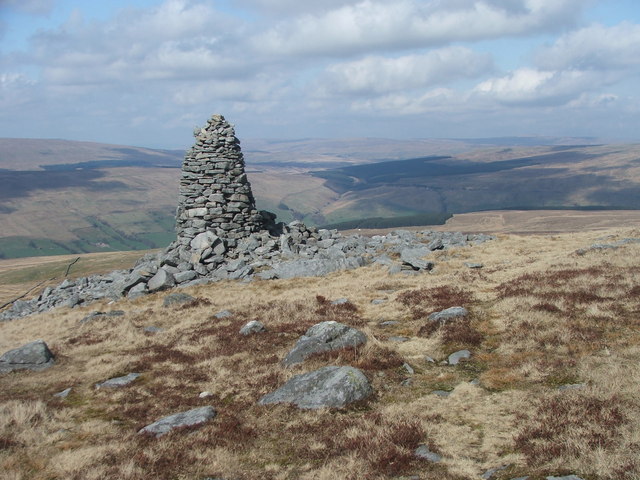
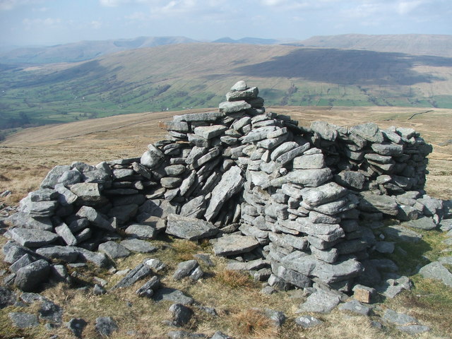
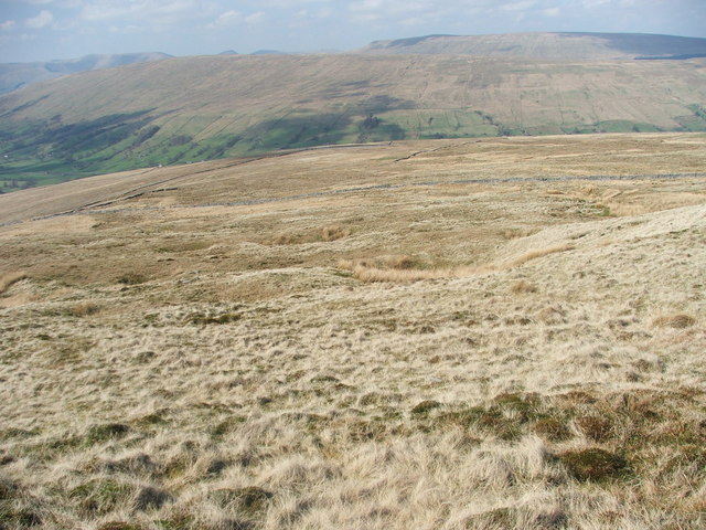
The Yorkshire Downs, which encompass Boot of the Wold, are characterized by rolling hills, open fields, and scattered woodlands. This picturesque region is a haven for outdoor enthusiasts, with numerous walking and hiking trails that showcase the natural beauty of the area. The moorland, in particular, is home to a diverse range of flora and fauna, including heather, wildflowers, and various bird species.

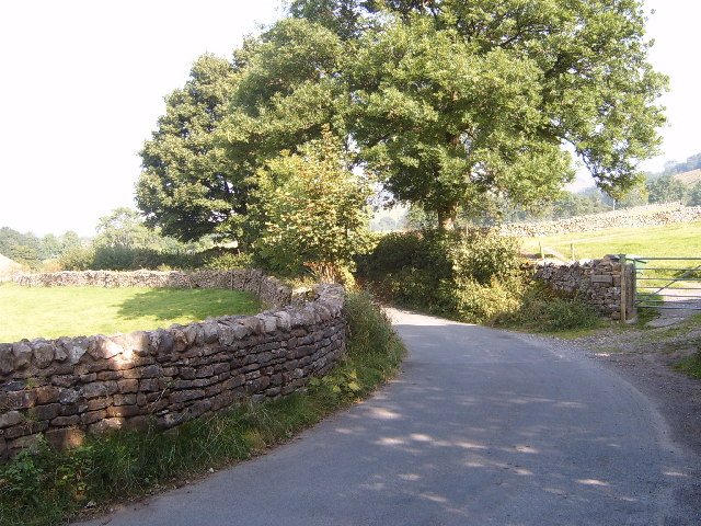
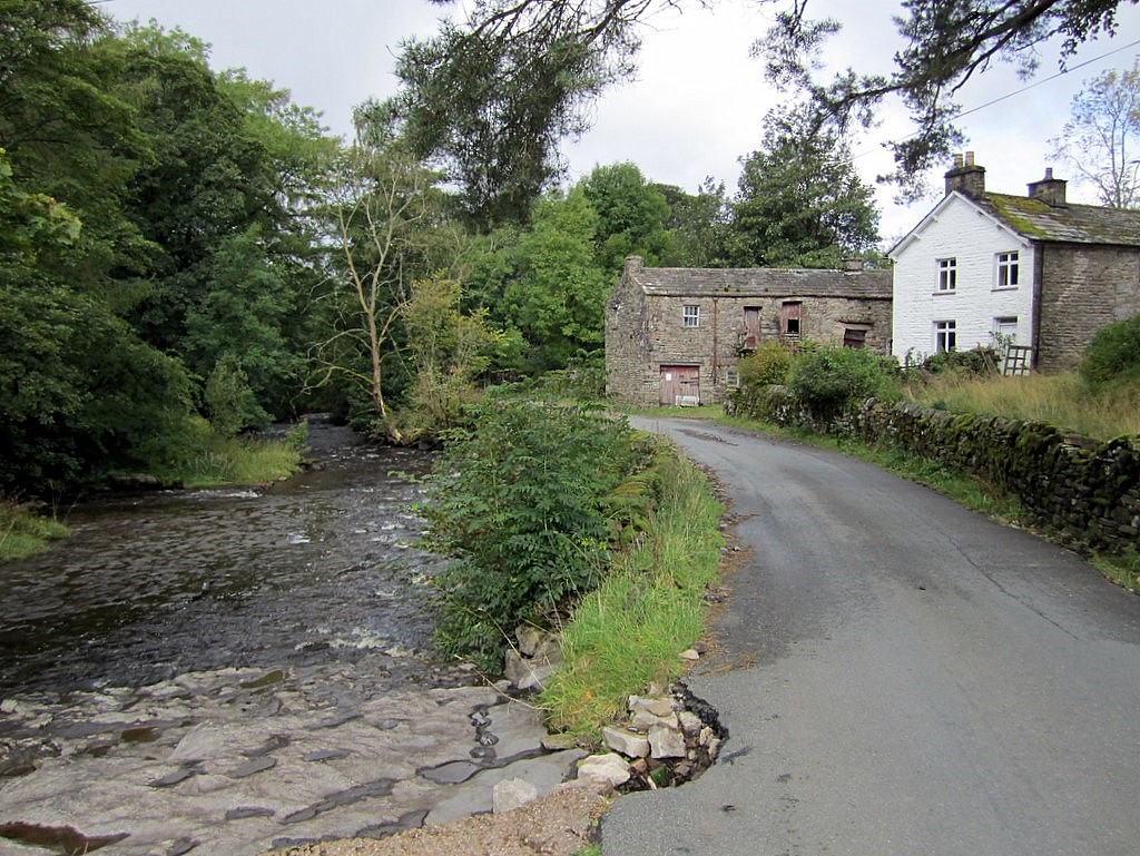
Boot of the Wold itself is a charming village with a close-knit community. It has a small number of traditional stone houses and a quaint village pub, which serves as a gathering place for locals and visitors alike. The village exudes a peaceful and idyllic ambiance, making it a popular destination for those seeking a tranquil retreat.

In addition to its natural beauty, Boot of the Wold is also steeped in history. The nearby Wold Castle, a medieval fortress, stands as a testament to the area's rich heritage. Visitors can explore the ruins and learn about the region's past.

Overall, Boot of the Wold in Yorkshire offers a unique blend of stunning landscapes, a tight-knit community, and historical significance. It is a place where one can immerse themselves in the beauty of nature while enjoying the charm of a traditional English village.

If you have any feedback on the listing, please let us know in the comments section below.

Boot of the Wold Images

Images are sourced within 2km of 54.256966/-2.3890244 or Grid Reference SD7484. Thanks to Geograph Open Source API. All images are credited.

On the Dales Way between Rivling & Little Town, Dentdale
On the Dales Way, west of Little Town, Dentdale
Seavey Bottom
Seavey Bottom
Thorough Mea
Thorough Mea
Whernside Tarns
Whernside Tarns
Moorland at Seavey Bottom Walking up Whernside.
Moorland at Seavey Bottom
Walking up Whernside.
Dent Dale The road from Cowgill to Deep Dale.
Dent Dale
The road from Cowgill to Deep Dale.
Pool in the River Dee The river bed here is dry, apart from a deep pool known as Ibbeth Peril, where the witch "Ibby" is supposed to have drowned. Ibbeth Peril Cave is just above the figures.
Pool in the River Dee
The river bed here is dry, apart from a deep pool known as Ibbeth Peril, where the witch "Ibby" is supposed to have drowned. Ibbeth Peril Cave is just above the figures.
One of the Whernside Tarns. There are four Whernside tarns.  This one is the smallest and most southerly of the four.
One of the Whernside Tarns.
There are four Whernside tarns. This one is the smallest and most southerly of the four.
One of the Whernside Tarns. There are four Whernside tarns.  This is one of the smaller ones and the most easterly.
One of the Whernside Tarns.
There are four Whernside tarns. This is one of the smaller ones and the most easterly.
One of the Whernside Tarns. There are four Whernside tarns.  This is one of the larger ones and the most northerly.
One of the Whernside Tarns.
There are four Whernside tarns. This is one of the larger ones and the most northerly.
One of the Whernside Tarns. There are four Whernside tarns.  This one straddles two grid squares and is one of the larger ones and also the most westerly.
One of the Whernside Tarns.
There are four Whernside tarns. This one straddles two grid squares and is one of the larger ones and also the most westerly.
The two larger Whernside Tarns. Looking NE from besides the most westerly tarn.
The two larger Whernside Tarns.
Looking NE from besides the most westerly tarn.
Cairn above Deepdale. Looking W across Deepdale to Great Coum.
Cairn above Deepdale.
Looking W across Deepdale to Great Coum.
Cairn above Deepdale. One of two cairns marked in this square.  Looking NW up Dentdale with the Howgills on the horizon.
Cairn above Deepdale.
One of two cairns marked in this square. Looking NW up Dentdale with the Howgills on the horizon.
Cairn on Deepdale Side. Looking N towards Cowgill and Dodderham Moss.
Cairn on Deepdale Side.
Looking N towards Cowgill and Dodderham Moss.
Shelter above Deepdale. This shelter isn't on or near any routes, nor is it on a summit, so I assume it must have its origins in shepherding or something similar.
Shelter above Deepdale.
This shelter isn't on or near any routes, nor is it on a summit, so I assume it must have its origins in shepherding or something similar.
Tough Hill. Looking across moorland and drystone walls towards Aye Gill Pike.
Tough Hill.
Looking across moorland and drystone walls towards Aye Gill Pike.
Show me another place!

Boot of the Wold is located at Grid Ref: SD7484 (Lat: 54.256966, Lng: -2.3890244)

Division: West Riding

Administrative County: Cumbria

District: South Lakeland

Police Authority: Cumbria

What 3 Words

///octagon.sporting.grand. Near Sedbergh, Cumbria

Related Wikis

St John the Evangelist's Church, Cowgill

St John the Evangelist's Church is the Church of England parish church of the village of Cowgill, Cumbria, England. It is in the deanery of Kendal, the...

Cowgill, Cumbria

Cowgill is a village in Westmorland and Furness, Cumbria, England. It is within the historic boundaries of the West Riding of Yorkshire, and is located...

Stone House, Cumbria

Stone House is a locality at Dent Head on the River Dee, in the county of Cumbria, England, to the south-east of Cowgill and to the north-west of Newby...
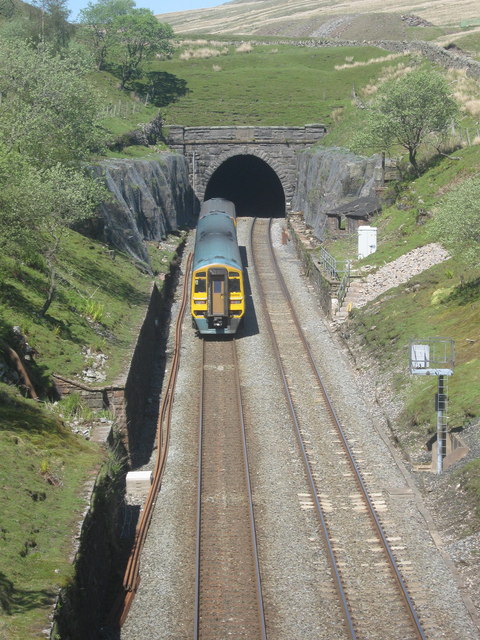
Blea Moor Tunnel

Blea Moor Tunnel is a 2,629 yards (1.494 mi)(2,404 m) railway tunnel located between Ribblehead Viaduct and Dent railway station in England. It is the...

Nearby Amenities

Located within 500m of 54.256966,-2.3890244
The data included in this document is from www.openstreetmap.org. The data is made available under ODbL.

Have you been to Boot of the Wold?

Leave your review of Boot of the Wold below (or comments, questions and feedback).