Stock Beck Head

Lake, Pool, Pond, Freshwater Marsh in Yorkshire South Lakeland

England

Stock Beck Head

On the Dales Way, west of Little Town, Dentdale
On the Dales Way, west of Little Town, Dentdale Credit: Colin Park

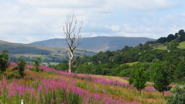
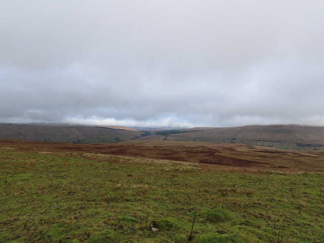
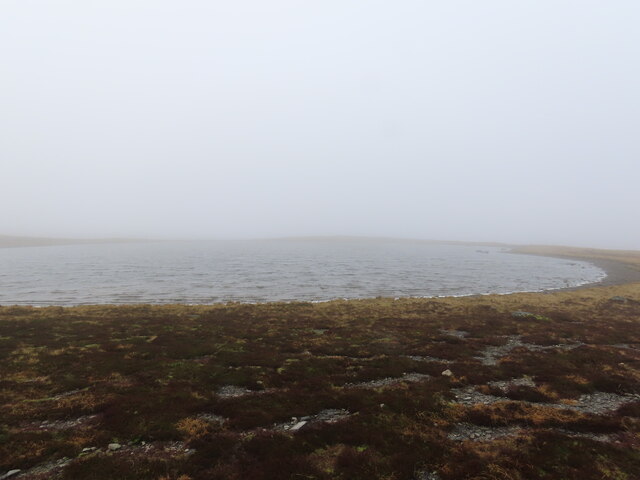
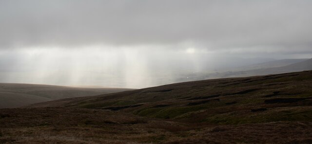
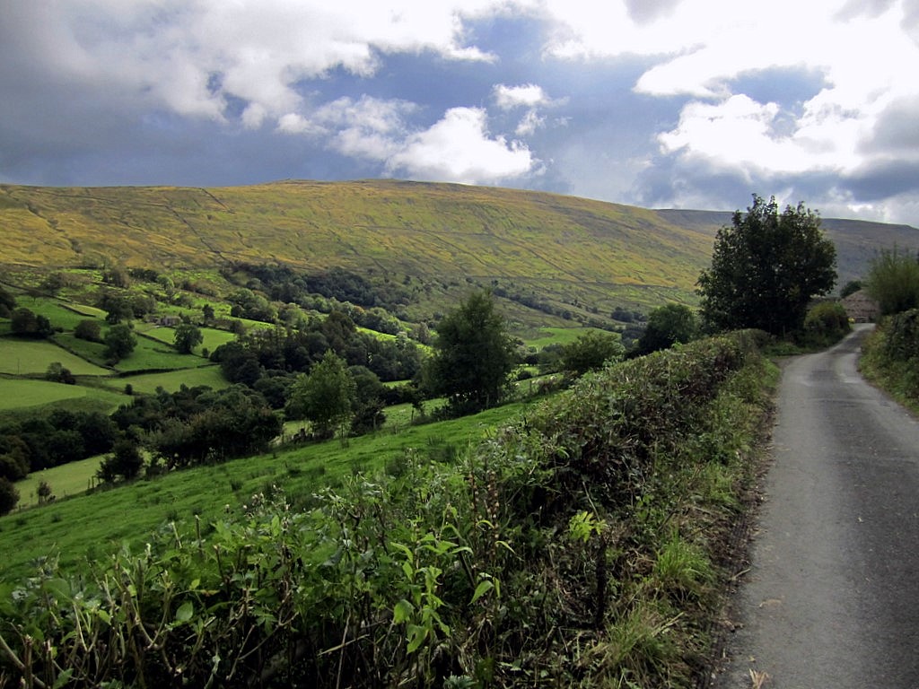
Stock Beck Head is a picturesque freshwater marsh located in Yorkshire, England. Nestled amidst the rolling hills and verdant landscapes, it is an idyllic spot for nature enthusiasts and those seeking tranquility. Spanning across an area of approximately 10 acres, Stock Beck Head is a haven for a diverse range of flora and fauna.

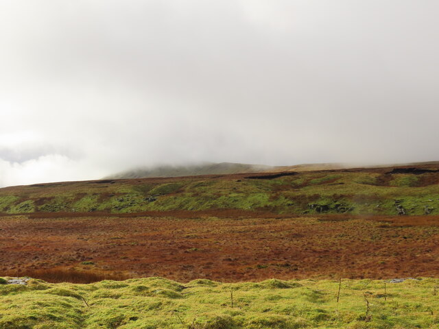
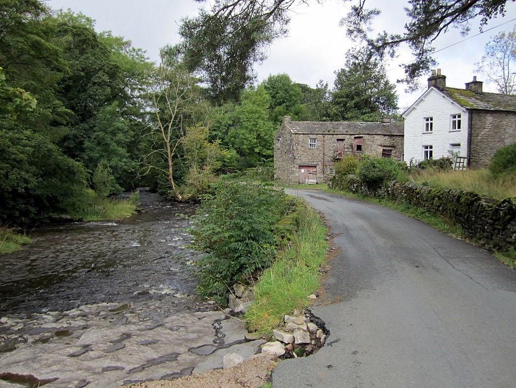
The marsh is fed by Stock Beck, a small stream that originates from the nearby moorlands. This constant supply of freshwater creates an ideal habitat for various aquatic plants and animals. The crystal-clear waters of the marsh are home to a variety of fish species, including brown trout and perch, which thrive in the nutrient-rich environment.

The marshland itself is a tapestry of vibrant colors, with an abundance of water lilies, reeds, and rushes. These aquatic plants provide essential cover and nesting sites for a wide array of bird species, such as mallards, coots, and moorhens. It is also a popular breeding ground for amphibians like frogs and newts.

Visitors to Stock Beck Head can explore the marsh on a network of well-maintained footpaths and bridges, allowing them to observe the rich biodiversity up close. The calm serenity of the surroundings offers a perfect opportunity for birdwatching and wildlife photography.

In addition to its natural beauty, Stock Beck Head also serves as an important ecological site, contributing to the overall health and balance of the local ecosystem. Its conservation and protection are paramount to preserve this enchanting freshwater marsh for future generations to enjoy.

If you have any feedback on the listing, please let us know in the comments section below.

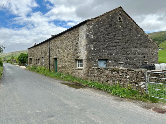
Stock Beck Head Images

Images are sourced within 2km of 54.257611/-2.4005431 or Grid Reference SD7484. Thanks to Geograph Open Source API. All images are credited.

On the Dales Way, west of Little Town, Dentdale
Gibs Hall, Barn The barn adjoins Gibs Hall Cottage at the far end.  The houses on the other side of the road use the more modern spelling of the place name ‘Gibbs’, which is also used by the Ordnance Survey.
There is an Ordnance Survey cut benchmark low down on the barn wall near the corner, facing the road (photograph <a href="https://www.geograph.org.uk/photo/7185964">SD7386 : Benchmark, Gibbs Hall Barn</a>).
Gibs Hall, Barn
The barn adjoins Gibs Hall Cottage at the far end. The houses on the other side of the road use the more modern spelling of the place name ‘Gibbs’, which is also used by the Ordnance Survey. There is an Ordnance Survey cut benchmark low down on the barn wall near the corner, facing the road (photograph SD7386 : Benchmark, Gibbs Hall Barn).
Benchmark, Gibbs Hall Barn Detail of an Ordnance Survey cut benchmark on the wall of a barn on the south side of the road at Gibbs Hall. The benchmark marks a height of 190.6097m above Ordnance Datum Newlyn last verified in 1953 (location photograph <a href="https://www.geograph.org.uk/photo/7185944">SD7386 : Gibs Hall, Barn</a>).
Benchmark, Gibbs Hall Barn
Detail of an Ordnance Survey cut benchmark on the wall of a barn on the south side of the road at Gibbs Hall. The benchmark marks a height of 190.6097m above Ordnance Datum Newlyn last verified in 1953 (location photograph SD7386 : Gibs Hall, Barn).
Seavey Bottom
Seavey Bottom
Thorough Mea
Thorough Mea
Whernside Tarns
Whernside Tarns
Moorland at Seavey Bottom Walking up Whernside.
Moorland at Seavey Bottom
Walking up Whernside.
Dentdale from the Dales Way After a mostly wet day on the Dales Way, the sun starts to reveal the beauty of Dentdale.
Dentdale from the Dales Way
After a mostly wet day on the Dales Way, the sun starts to reveal the beauty of Dentdale.
The Dales Way past Little Town
The Dales Way alongside Coat Faw Wood
The Dales Way past a barn at Swarthwaite
Heading west, down Dentdale The Dales Way following the River Dee (amongst the trees)
Heading west, down Dentdale
The Dales Way following the River Dee (amongst the trees)
Dentdale From the Dales Way, looking east along the valley on a sunny May morning.
Dentdale
From the Dales Way, looking east along the valley on a sunny May morning.
Gate and track for Little Town farm
Narrow road with stone walls beside River Dee
Track to Hackergill Farm
Track to Laithbank
Track to Laithbank
Narrow road in Dentdale The gate on the right leads into a field between the road and the River Dee. The field is part of the flood plain of the river
Narrow road in Dentdale
The gate on the right leads into a field between the road and the River Dee. The field is part of the flood plain of the river
Show me another place!

Stock Beck Head is located at Grid Ref: SD7484 (Lat: 54.257611, Lng: -2.4005431)

Division: West Riding

Administrative County: Cumbria

District: South Lakeland

Police Authority: Cumbria

What 3 Words

///held.browsers.visitors. Near Sedbergh, Cumbria

Related Wikis

Deepdale, Cumbria

Deepdale is a side valley of Dentdale in the Yorkshire Dales National Park in Cumbria, England. It lies north west of the summit of Whernside. The dale...

St John the Evangelist's Church, Cowgill

St John the Evangelist's Church is the Church of England parish church of the village of Cowgill, Cumbria, England. It is in the deanery of Kendal, the...

Cowgill, Cumbria

Cowgill is a village in Westmorland and Furness, Cumbria, England. It is within the historic boundaries of the West Riding of Yorkshire, and is located...

Stone House, Cumbria

Stone House is a locality at Dent Head on the River Dee, in the county of Cumbria, England, to the south-east of Cowgill and to the north-west of Newby...

Nearby Amenities

Located within 500m of 54.257611,-2.4005431
The data included in this document is from www.openstreetmap.org. The data is made available under ODbL.

Have you been to Stock Beck Head?

Leave your review of Stock Beck Head below (or comments, questions and feedback).