Eller Keld Pasture
Downs, Moorland in Yorkshire Craven
England
Eller Keld Pasture
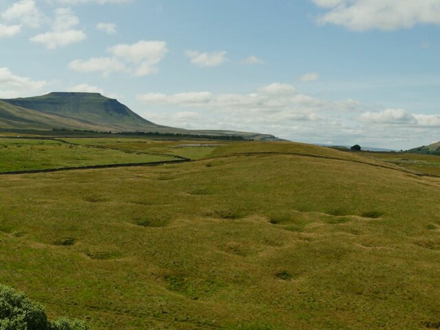
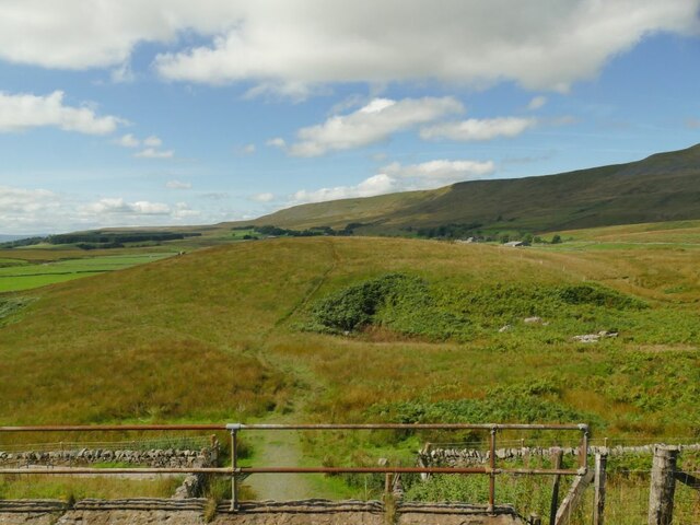
Eller Keld Pasture is a picturesque expanse of land situated in the heart of Yorkshire, England. Nestled among the breathtaking Yorkshire Downs and Moorland, it covers an area of approximately 500 acres. Its name, "Eller Keld," translates to "spring by the alder trees," which aptly describes the landscape's unique features.
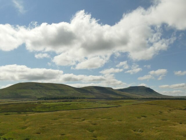
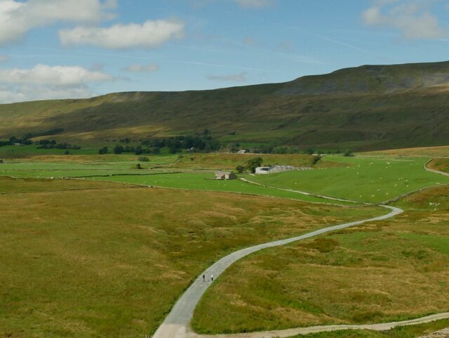
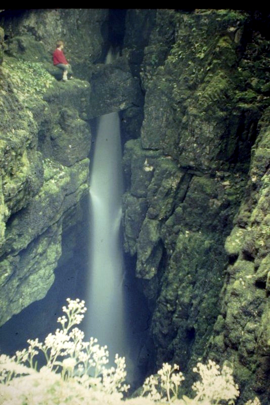
The pasture boasts rolling hills, verdant meadows, and scattered patches of dense woodland. It is renowned for its rich biodiversity and stunning natural beauty. The land is predominantly used for grazing livestock, with sheep grazing peacefully on the open fields. The presence of these animals adds to the charm and authenticity of the area.
The Yorkshire Downs surrounding Eller Keld Pasture provide a dramatic backdrop, with their towering hills and sweeping vistas. The moorland, on the other hand, offers a more rugged and untamed environment, characterized by heather-covered expanses and rocky outcrops.
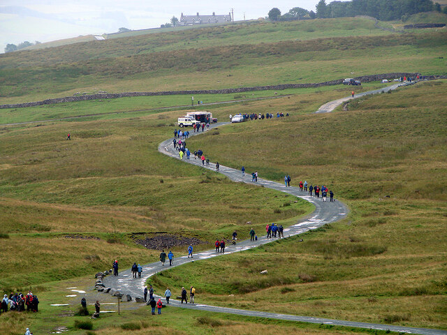
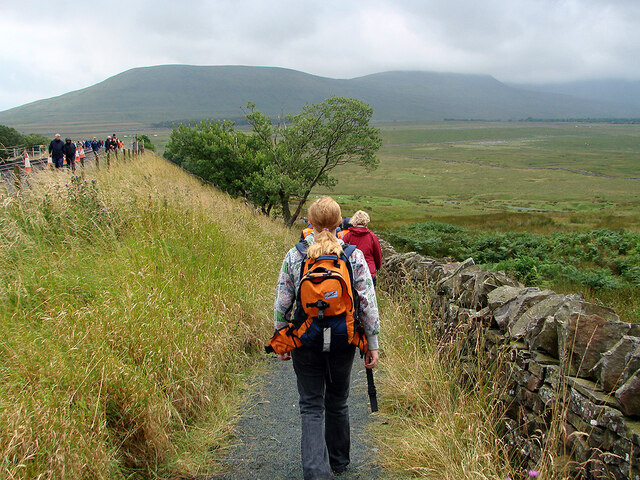
Visitors to Eller Keld Pasture can enjoy peaceful walks through the meandering footpaths that crisscross the land, providing ample opportunities to take in the breathtaking views. The area is also a haven for birdwatchers, as it is home to numerous species of birds, including the iconic red grouse.
In addition to its natural beauty, Eller Keld Pasture holds historical significance. The remnants of ancient stone circles and burial mounds can be found scattered across the landscape, serving as a testament to the area's rich heritage.
Overall, Eller Keld Pasture is a captivating destination that offers a glimpse into the stunning natural landscapes of Yorkshire. With its rolling hills, diverse flora and fauna, and historical landmarks, it is a must-visit location for nature enthusiasts and history buffs alike.
If you have any feedback on the listing, please let us know in the comments section below.
Eller Keld Pasture Images
Images are sourced within 2km of 54.197621/-2.3864585 or Grid Reference SD7478. Thanks to Geograph Open Source API. All images are credited.
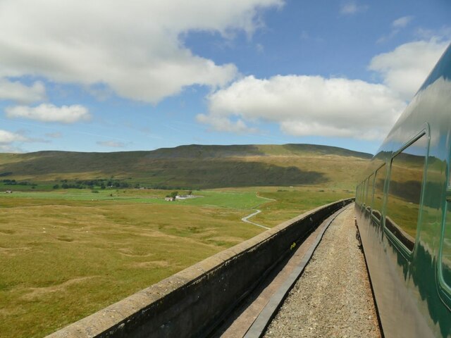
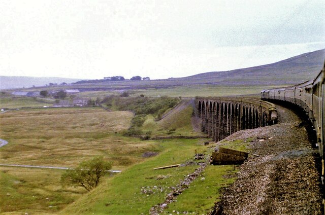
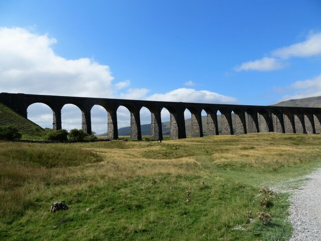
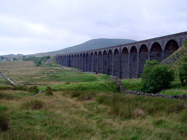
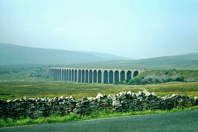

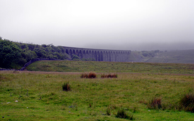
![Ribblehead [1] Seen from Blea Moor Road, B6265, is the Ribblehead Viaduct. Built to carry the Settle to Carlisle line of the Midland Railway. Constructed between 1870 and 1874 in rockfaced stone and brick. There are 24 segmental arches on battered piers.
Listed, grade II*, with details at: <span class="nowrap"><a title="https://historicengland.org.uk/listing/the-list/list-entry/1132228" rel="nofollow ugc noopener" href="https://historicengland.org.uk/listing/the-list/list-entry/1132228">Link</a><img style="margin-left:2px;" alt="External link" title="External link - shift click to open in new window" src="https://s1.geograph.org.uk/img/external.png" width="10" height="10"/></span>](https://s0.geograph.org.uk/geophotos/07/03/18/7031832_5e4b34bb.jpg)

Eller Keld Pasture is located at Grid Ref: SD7478 (Lat: 54.197621, Lng: -2.3864585)
Division: West Riding
Administrative County: North Yorkshire
District: Craven
Police Authority: North Yorkshire
What 3 Words
///lightens.blaze.maternal. Near Ingleton, North Yorkshire
Nearby Locations
Related Wikis
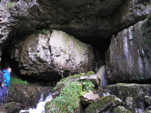
Great Douk Cave
Great Douk Cave is a shallow cave system lying beneath the limestone bench of Ingleborough in Chapel-le-Dale, North Yorkshire, England. It is popular with...
Weathercote Cave
Weathercote Cave is a natural solutional cave in Chapel-le-Dale, North Yorkshire, England. It has been renowned as a natural curiosity since the eighteenth...

Chapel-le-Dale
Chapel-le-Dale is a hamlet in the civil parish of Ingleton, North Yorkshire, England. It is in the Yorkshire Dales National Park in a valley of the same...

Chapel-le-Dale (valley)
Chapel-le-Dale is west-facing valley in the Yorkshire Dales, England. The U-shaped valley of Chapel-le-Dale is one of the few which drain westwards towards...

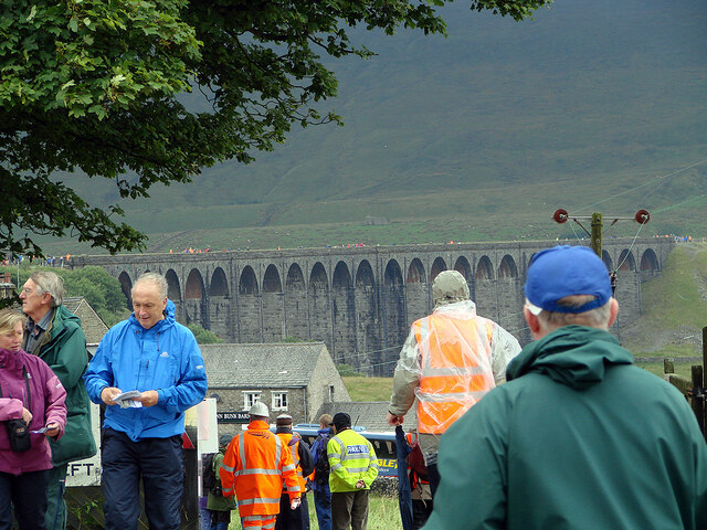
Ribblehead Viaduct
The Ribblehead Viaduct or Batty Moss Viaduct carries the Settle–Carlisle railway across Batty Moss in the Ribble Valley at Ribblehead, in North Yorkshire...

Ribblehead railway station
Ribblehead is a railway station on the Settle and Carlisle Line, which runs between Carlisle and Leeds via Settle. The station, situated 52 miles 17 chains...

Ribblehead Quarry
Ribblehead Quarry is a former limestone quarry next to Ribblehead railway station in the Yorkshire Dales National Park, North Yorkshire, England. It had...

Simon Fell (Yorkshire Dales)
Simon Fell is a subsidiary summit on the north east ridge of Ingleborough, a mountain in the Yorkshire Dales in Northern England. With a height of 650...
Nearby Amenities
Located within 500m of 54.197621,-2.3864585Have you been to Eller Keld Pasture?
Leave your review of Eller Keld Pasture below (or comments, questions and feedback).