Snaizwold Fell
Downs, Moorland in Yorkshire South Lakeland
England
Snaizwold Fell

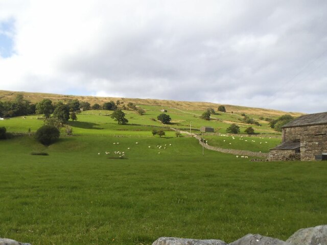
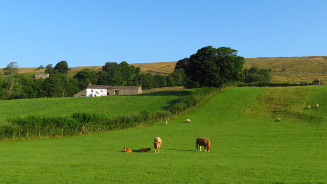
Snaizwold Fell is a prominent geographical feature located in Yorkshire, England. Situated within the region known as the Yorkshire Dales, it is part of the vast expanse of moorland that characterizes the area. The fell is situated in the western part of the Yorkshire Dales National Park, offering visitors a unique blend of stunning natural landscapes and diverse wildlife.
Rising to an elevation of approximately 450 meters (1,480 feet), Snaizwold Fell offers breathtaking views of the surrounding countryside. The terrain is predominantly hilly, with undulating slopes and a mixture of exposed rock and heather-covered moorland. The fell is crisscrossed by a network of footpaths, making it a popular destination for hikers and nature enthusiasts.
The flora and fauna found on Snaizwold Fell are representative of the Yorkshire Dales ecosystem. The heather moorland is home to a variety of bird species, including curlews, lapwings, and peregrine falcons. Visitors may also encounter grazing sheep and occasionally cattle, as the fell is part of a working agricultural landscape.
The weather on Snaizwold Fell can be unpredictable, with frequent changes in temperature and precipitation. The area experiences a typical British climate, characterized by mild summers and cool, wet winters. It is advisable for visitors to come prepared for varying weather conditions and to wear appropriate clothing and footwear.
Overall, Snaizwold Fell offers a unique and captivating experience for those seeking to explore the natural beauty of the Yorkshire Dales. Whether hiking the footpaths or simply taking in the panoramic views, visitors are sure to be enchanted by the rugged charm of this moorland landscape.
If you have any feedback on the listing, please let us know in the comments section below.
Snaizwold Fell Images
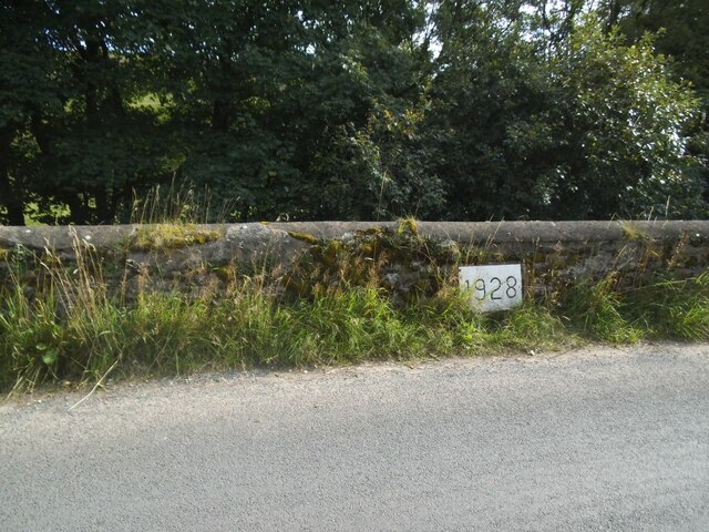
Images are sourced within 2km of 54.293322/-2.388092 or Grid Reference SD7488. Thanks to Geograph Open Source API. All images are credited.


Snaizwold Fell is located at Grid Ref: SD7488 (Lat: 54.293322, Lng: -2.388092)
Division: West Riding
Administrative County: Cumbria
District: South Lakeland
Police Authority: Cumbria
What 3 Words
///undertone.camper.nitrogen. Near Sedbergh, Cumbria
Nearby Locations
Related Wikis

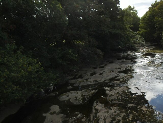
Garsdale
Garsdale is a dale or valley in the south east of Cumbria, England, historically a part of the West Riding of Yorkshire. It is now within the Westmorland...

Rise Hill Tunnel
Rise Hill Tunnel is a 1,213-yard (1,109 m) long tunnel that takes the Settle–Carlisle line beneath Black Moss in Cumbria, England. It is the second longest...

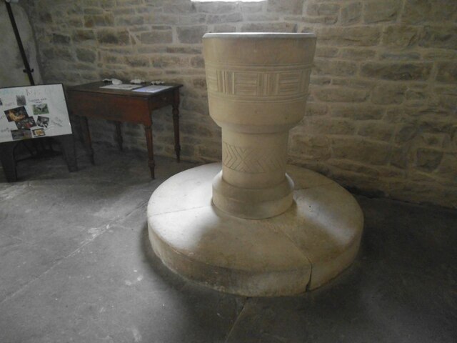
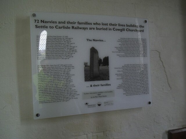
St John the Evangelist's Church, Cowgill
St John the Evangelist's Church is the Church of England parish church of the village of Cowgill, Cumbria, England. It is in the deanery of Kendal, the...

Dent railway station
Dent is a railway station on the Settle and Carlisle Line, which runs between Carlisle and Leeds via Settle. The station, situated 58 miles 29 chains...
Nearby Amenities
Located within 500m of 54.293322,-2.388092Have you been to Snaizwold Fell?
Leave your review of Snaizwold Fell below (or comments, questions and feedback).