Sodbury Common

Downs, Moorland in Gloucestershire

England

Sodbury Common

Stone Stile, Little Sodbury Opposite the church, on Gloucestershire footpath LSL/6. Looking from the road, the view looking from the copse is <a href="https://www.geograph.org.uk/photo/7148151">ST7583 : Stone Stile, Little Sodbury</a>.
Stone Stile, Little Sodbury Credit: Mr Red

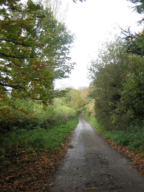
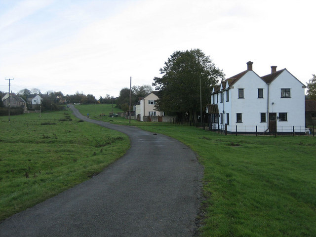
Sodbury Common is a picturesque area located in Gloucestershire, England. Covering an expansive area of downs and moorland, it offers visitors a diverse and captivating landscape. Situated near the market town of Chipping Sodbury, this common is easily accessible and attracts both locals and tourists alike.

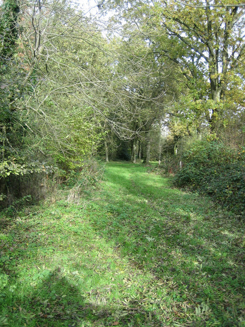
The downs of Sodbury Common are characterized by rolling hills covered in lush green grasses and scattered with vibrant wildflowers during the warmer months. These hills provide breathtaking views of the surrounding countryside and are perfect for leisurely walks or picnics. The moorland, on the other hand, consists of open expanses of heather and gorse, creating a unique and more rugged atmosphere.

The common is renowned for its rich biodiversity and is home to a variety of flora and fauna. Visitors can spot a wide range of bird species, including skylarks and meadow pipits, soaring through the skies. The common also supports a diverse array of plant life, with heather, bilberry, and bracken being prevalent in the moorland areas.

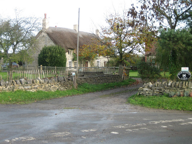
In addition to its natural beauty, Sodbury Common also holds historical significance. It has been used for centuries as a grazing area for livestock and is still home to a small number of sheep and cattle. The common is also dotted with ancient burial mounds and other archaeological features, providing a glimpse into the area's past.

Overall, Sodbury Common offers a tranquil escape for nature enthusiasts and history lovers alike. With its stunning downs, captivating moorland, and rich biodiversity, it is a must-visit destination for anyone seeking to explore the natural wonders of Gloucestershire.

If you have any feedback on the listing, please let us know in the comments section below.

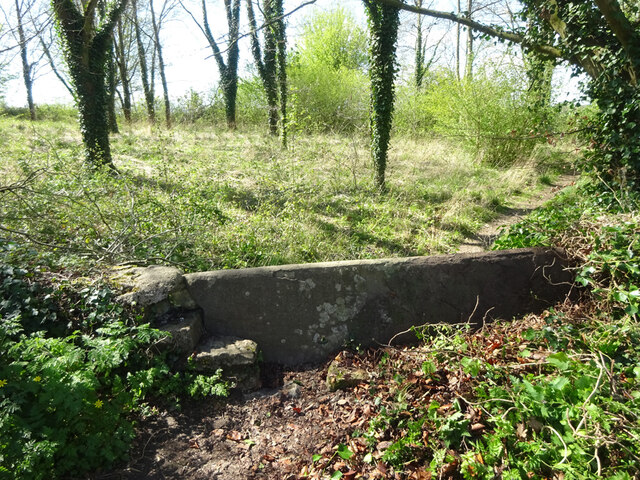
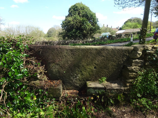
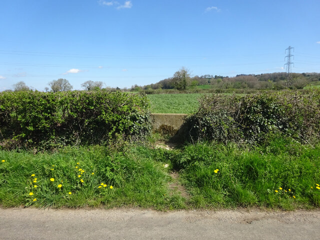
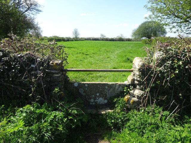
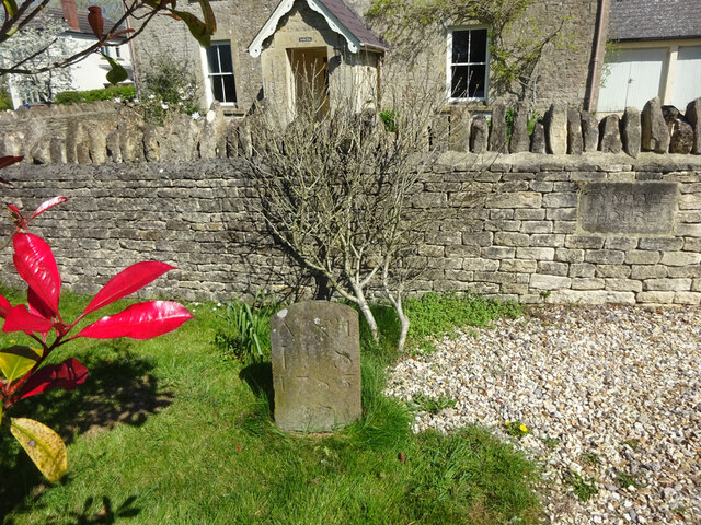
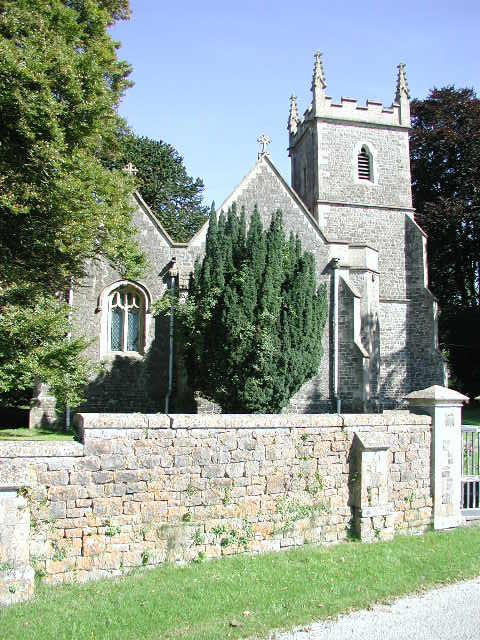
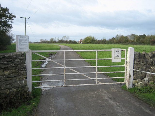
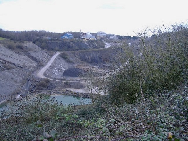
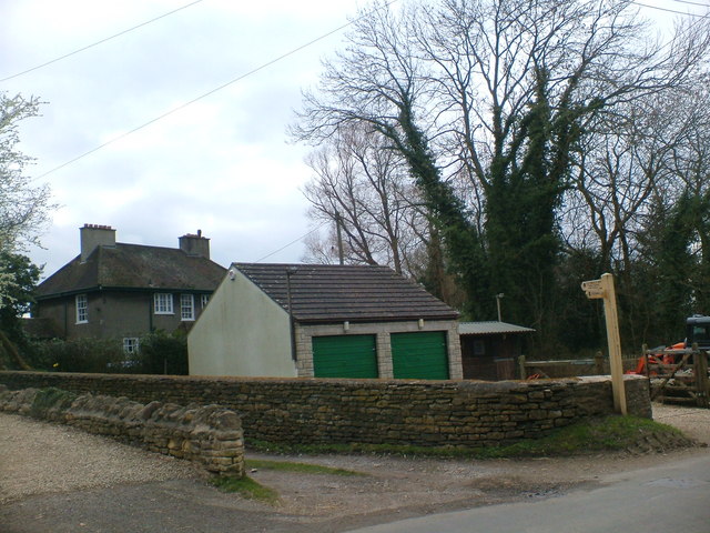
Sodbury Common Images

Images are sourced within 2km of 51.552734/-2.3737337 or Grid Reference ST7483. Thanks to Geograph Open Source API. All images are credited.

Stone Stile, Little Sodbury Opposite the church, on Gloucestershire footpath LSL/6. Looking from the road, the view looking from the copse is <a href="https://www.geograph.org.uk/photo/7148151">ST7583 : Stone Stile, Little Sodbury</a>.
Stone Stile, Little Sodbury
Opposite the church, on Gloucestershire footpath LSL/6. Looking from the road, the view looking from the copse is ST7583 : Stone Stile, Little Sodbury.
Stone Stile, Little Sodbury Opposite the church, on Gloucestershire footpath LSL/6. Looking from the road, the view looking from the copse is <a href="https://www.geograph.org.uk/photo/7148149">ST7583 : Stone Stile, Little Sodbury</a>.
Stone Stile, Little Sodbury
Opposite the church, on Gloucestershire footpath LSL/6. Looking from the road, the view looking from the copse is ST7583 : Stone Stile, Little Sodbury.
Stone Stile, Little Sodbury Looking SW from Gloucestershire footpath LHO/66 to the road and <a href="https://www.geograph.org.uk/photo/7148176">ST7583 : Stone Stile, Little Sodbury</a>. The view from the road is <a href="https://www.geograph.org.uk/photo/7148170">ST7583 : Stone Stile, Little Sodbury</a>.
Stone Stile, Little Sodbury
Looking SW from Gloucestershire footpath LHO/66 to the road and ST7583 : Stone Stile, Little Sodbury. The view from the road is ST7583 : Stone Stile, Little Sodbury.
Stone Stile, Little Sodbury Looking NE to Gloucestershire footpath LHO/66 from the road. The view to the road is <a href="https://www.geograph.org.uk/photo/7148168">ST7583 : Stone Stile, Little Sodbury</a>.
Stone Stile, Little Sodbury
Looking NE to Gloucestershire footpath LHO/66 from the road. The view to the road is ST7583 : Stone Stile, Little Sodbury.
Stone Stile, Little Sodbury Looking NE towards the road and <a href="https://www.geograph.org.uk/photo/7148168">ST7583 : Stone Stile, Little Sodbury</a> on Gloucestershire footpath LSL/4. The view from the road is <a href="https://www.geograph.org.uk/photo/7148170">ST7583 : Stone Stile, Little Sodbury</a>.
Stone Stile, Little Sodbury
Looking NE towards the road and ST7583 : Stone Stile, Little Sodbury on Gloucestershire footpath LSL/4. The view from the road is ST7583 : Stone Stile, Little Sodbury.
Stone Stile, Little Sodbury Looking SW from the road to Gloucestershire footpath LSL/4. The view to the road is <a href="https://www.geograph.org.uk/photo/7148176">ST7583 : Stone Stile, Little Sodbury</a>.
Stone Stile, Little Sodbury
Looking SW from the road to Gloucestershire footpath LSL/4. The view to the road is ST7583 : Stone Stile, Little Sodbury.
Boundary Stone, Little Sodbury End Boundary between parishes of Little Sodbury and Horton. In front of a property that has been a pub and a shop, but now a private house.

Inscription: A Nᴼ 1 / L S / 1785

Milestone Society National ID: GL_LSOHOR01pb
Boundary Stone, Little Sodbury End
Boundary between parishes of Little Sodbury and Horton. In front of a property that has been a pub and a shop, but now a private house. Inscription: A Nᴼ 1 / L S / 1785 Milestone Society National ID: GL_LSOHOR01pb
Little Sodbury (Glos) St Adeline's Church
Chipping Sodbury Golf Course The Golf Course was established in 1905 and now covers 104 acres.  There are two courses, the Wissan Course and the Beaufort Course
Chipping Sodbury Golf Course
The Golf Course was established in 1905 and now covers 104 acres. There are two courses, the Wissan Course and the Beaufort Course
Harwood Gate The gated road between Little Sodbury and Chipping Sodbury by Harwoodgate Farm.
Harwood Gate
The gated road between Little Sodbury and Chipping Sodbury by Harwoodgate Farm.
The Chapel at Little Sodbury End Tyndale Baptist Chapel at Little Sodbury End.  The foundation stones are dated July 28th 1890.
The Chapel at Little Sodbury End
Tyndale Baptist Chapel at Little Sodbury End. The foundation stones are dated July 28th 1890.
Footpath This footpath, east of Horton near Chipping Sodbury links Little Sodbury End to Horton Bushes
Footpath
This footpath, east of Horton near Chipping Sodbury links Little Sodbury End to Horton Bushes
To Little Sodbury Lane leading down to Little Sodbury close to the Cotswold Way
To Little Sodbury
Lane leading down to Little Sodbury close to the Cotswold Way
Horseshoe Farm Thatched farmhouse at Horton near Chipping Sodbury
Horseshoe Farm
Thatched farmhouse at Horton near Chipping Sodbury
Little Sodbury End Unfenced road leading off Sodbury Common toward Little Sodbury End
Little Sodbury End
Unfenced road leading off Sodbury Common toward Little Sodbury End
Barnhill quarry, Chipping Sodbury A huge limestone quarry, north of the town, abandoned in the 1950's.
Barnhill quarry, Chipping Sodbury
A huge limestone quarry, north of the town, abandoned in the 1950's.
Southfields Quarry Situated between chipping Sodbury and Wickwar, this quarry (owned by Hanson), is now worked out, but houses the plant, used to process limestone chippings from new workings on the other side of the B4060.
Southfields Quarry
Situated between chipping Sodbury and Wickwar, this quarry (owned by Hanson), is now worked out, but houses the plant, used to process limestone chippings from new workings on the other side of the B4060.
The  Old  Rectory, on Cotswold Way taken by Ashley Edwards Year 3
The Old Rectory, on Cotswold Way
taken by Ashley Edwards Year 3
Show me another place!

Sodbury Common is located at Grid Ref: ST7483 (Lat: 51.552734, Lng: -2.3737337)

Unitary Authority: South Gloucestershire

Police Authority: Avon and Somerset

What 3 Words

///toothpick.restless.swim. Near Horton, Gloucestershire

Related Wikis

Little Sodbury

Little Sodbury is a village and former civil parish, now in the parish of Horton, in the South Gloucestershire district, in the ceremonial county of Gloucestershire...

Chipping Sodbury Town F.C.

Chipping Sodbury Town Football Club is a football club based in Chipping Sodbury, South Gloucestershire, England. They are currently members of the Hellenic...

Little Sodbury Manor

Little Sodbury Manor is a 15th-century manor house in Little Sodbury, Gloucestershire, England. It is a Grade I listed building. == History == The lords...
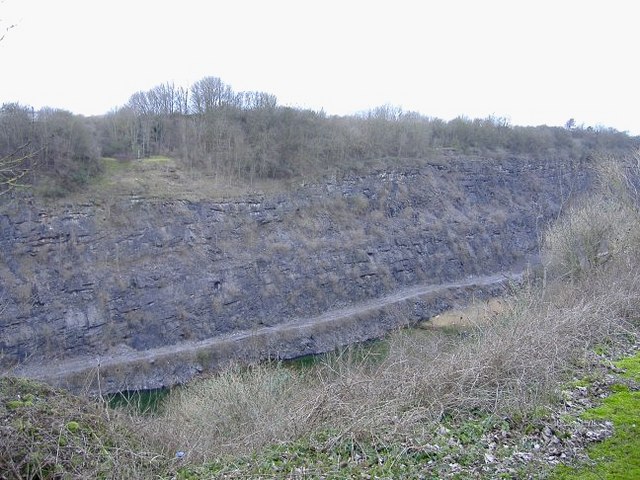
Barnhill Quarry

Barnhill Quarry (grid reference ST725827) is a 3.1 hectare geological Site of Special Scientific Interest near Chipping Sodbury, South Gloucestershire...

Nearby Amenities

Located within 500m of 51.552734,-2.3737337
Barrier: cattle_grid
Lat/Long: 51.5534022/-2.3715985
Post Box
Post Box Type: wall
Postal Code: BS37
Ref: BS37 238
Source: survey
Lat/Long: 51.5528403/-2.3665998
Power: tower
Source: Bing
Lat/Long: 51.555625/-2.3693697
Little Sodbury End
Place: hamlet
Lat/Long: 51.5536063/-2.3674451
Barrier: cattle_grid
Lat/Long: 51.5526746/-2.366927
Power: pole
Lat/Long: 51.5506684/-2.377459
Power: pole
Lat/Long: 51.5510969/-2.3771358
Power: pole
Lat/Long: 51.5515861/-2.3767739
Power: pole
Lat/Long: 51.5522155/-2.3763023
Power: pole
Lat/Long: 51.5526389/-2.3767597
Power: pole
Lat/Long: 51.5530447/-2.3772232
Power: pole
Lat/Long: 51.5522788/-2.3750451
Power: pole
Lat/Long: 51.5523612/-2.3736093
Power: pole
Lat/Long: 51.5524378/-2.3723307
Power: pole
Lat/Long: 51.5525202/-2.3709319
Power: pole
Lat/Long: 51.5525604/-2.3702325
Power: pole
Lat/Long: 51.5525987/-2.3693698
Power: pole
Lat/Long: 51.5526873/-2.3678494
Power: pole
Lat/Long: 51.5527266/-2.3669436
Power: pole
Lat/Long: 51.5523805/-2.3694799
Power: pole
Lat/Long: 51.552273/-2.3705248
Power: pole
Lat/Long: 51.5530839/-2.3666398
Bench
Backrest: yes
Material: wood
Lat/Long: 51.5526562/-2.3666438
Power: pole
Lat/Long: 51.5523277/-2.3668294
Power: pole
Lat/Long: 51.5519082/-2.3666918
Barrier: stile
Lat/Long: 51.5544354/-2.368349
Watering Place
Lat/Long: 51.5512713/-2.3785347
Watering Place
Lat/Long: 51.5515456/-2.3790497
Direction: 180
Generator Method: photovoltaic
Generator Output Electricity: yes
Generator Solar Modules: 16
Generator Source: solar
Generator Type: solar_photovoltaic_panel
Location: roof
Power: generator
Lat/Long: 51.5522432/-2.3697606
The data included in this document is from www.openstreetmap.org. The data is made available under ODbL.

Have you been to Sodbury Common?

Leave your review of Sodbury Common below (or comments, questions and feedback).