Sodbury End, Little
Settlement in Gloucestershire
England
Sodbury End, Little
Sodbury End is a small hamlet located in the county of Gloucestershire, England. Situated in the beautiful countryside of the Cotswolds, it falls within the civil parish of Little Sodbury. The hamlet is nestled on the edge of the Cotswold escarpment, offering stunning views of the surrounding hills and valleys.
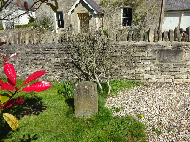
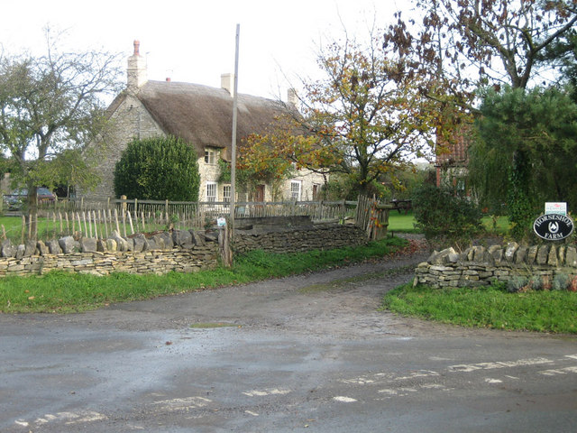
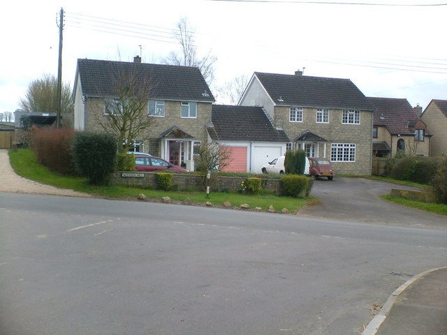
Sodbury End is known for its picturesque charm and tranquil atmosphere. It consists of a handful of houses and cottages, many of which date back to the 18th and 19th centuries, giving the area a sense of historical character. The traditional Cotswold stone architecture is prevalent throughout the hamlet, adding to its charm.
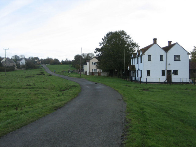
While Sodbury End may be small in size, it benefits from its proximity to the nearby village of Chipping Sodbury, which offers a range of amenities including shops, pubs, and restaurants. The hamlet also benefits from its location near the city of Bristol, which is approximately 15 miles away, providing access to a wider range of facilities and services.
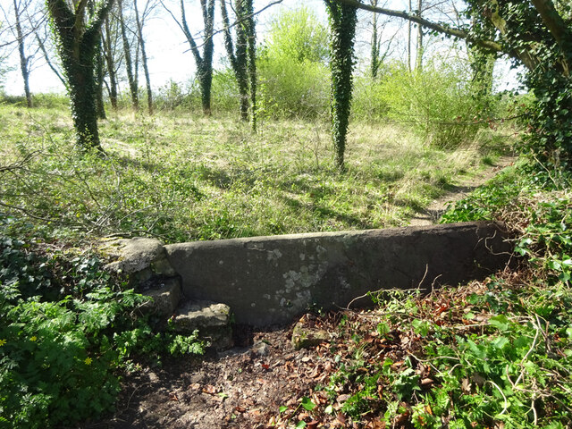
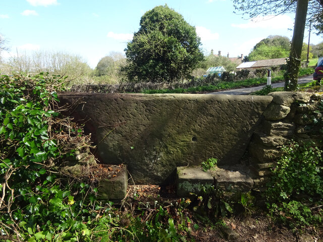
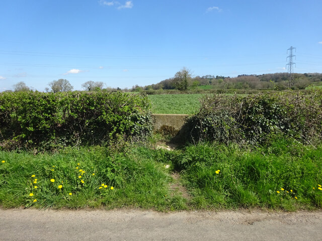
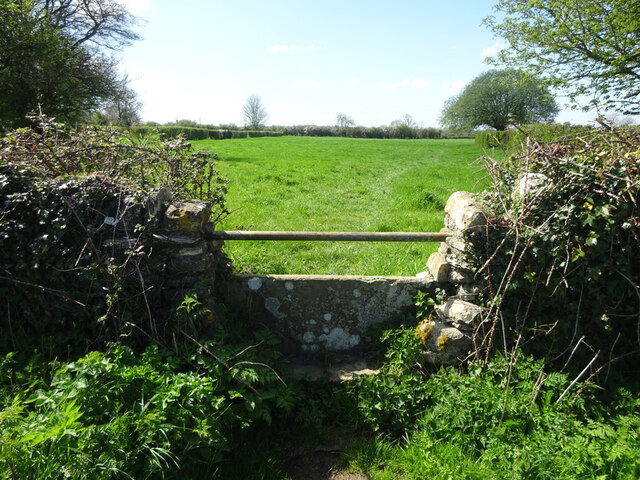
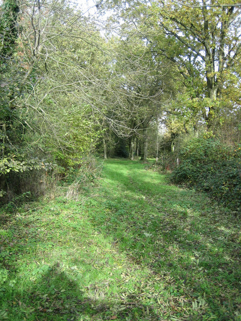
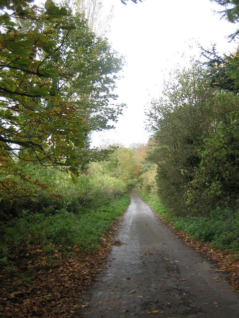
The area surrounding Sodbury End is a haven for nature lovers and outdoor enthusiasts. The Cotswold Way, a long-distance footpath, passes close by, allowing residents and visitors to explore the stunning landscapes and picturesque villages of the Cotswolds. The nearby countryside offers ample opportunities for walking, cycling, and horseback riding.
In summary, Sodbury End is a charming and idyllic hamlet in the heart of the Gloucestershire countryside. With its historic buildings, stunning views, and access to nearby amenities and outdoor activities, it offers a peaceful retreat for those seeking a rural lifestyle.
If you have any feedback on the listing, please let us know in the comments section below.
Sodbury End, Little Images
Images are sourced within 2km of 51.553449/-2.368485 or Grid Reference ST7483. Thanks to Geograph Open Source API. All images are credited.


Sodbury End, Little is located at Grid Ref: ST7483 (Lat: 51.553449, Lng: -2.368485)
Unitary Authority: South Gloucestershire
Police Authority: Avon and Somerset
What 3 Words
///suits.explorer.completed. Near Horton, Gloucestershire
Nearby Locations
Related Wikis

Little Sodbury
Little Sodbury is a village and former civil parish, now in the parish of Horton, in the South Gloucestershire district, in the ceremonial county of Gloucestershire...

Little Sodbury Manor
Little Sodbury Manor is a 15th-century manor house in Little Sodbury, Gloucestershire, England. It is a Grade I listed building. == History == The lords...
Chipping Sodbury Town F.C.
Chipping Sodbury Town Football Club is a football club based in Chipping Sodbury, South Gloucestershire, England. They are currently members of the Hellenic...
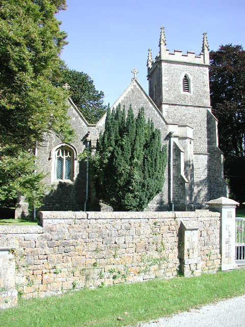
St James the Elder, Horton
St James the Elder, Horton is a parish church in Horton, Gloucestershire. It is a Grade 1 listed building. It was originally built in the twelfth century...
Nearby Amenities
Located within 500m of 51.553449,-2.368485Have you been to Sodbury End, Little?
Leave your review of Sodbury End, Little below (or comments, questions and feedback).