Little Sodbury End

Settlement in Gloucestershire

England

Little Sodbury End

Stone Stile, Little Sodbury Opposite the church, on Gloucestershire footpath LSL/6. Looking from the road, the view looking from the copse is <a href="https://www.geograph.org.uk/photo/7148151">ST7583 : Stone Stile, Little Sodbury</a>.
Stone Stile, Little Sodbury Credit: Mr Red

Little Sodbury End is a small village located in South Gloucestershire, England. Situated on the edge of the Cotswolds, it is surrounded by picturesque countryside and offers a tranquil retreat from the nearby bustling cities. The village is part of the wider civil parish of Sodbury, which includes the nearby villages of Old Sodbury and Chipping Sodbury.

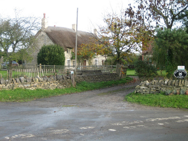
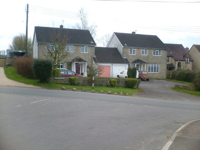
The village is predominantly residential, with a small number of shops and amenities catering to the local community. The architecture in Little Sodbury End is typically Cotswold in style, characterized by honey-colored limestone buildings and thatched roofs. This adds to the village's charm and contributes to its overall appeal.

One of the notable features of Little Sodbury End is the Grade I listed building, Little Sodbury Manor. This historic manor house is thought to date back to the 14th century and has connections to notable figures such as Sir John Walsh, who was a close confidant of Henry VIII. The manor is surrounded by beautifully maintained gardens, which are open to the public on certain occasions.

The village is also known for its proximity to the ancient Roman site of Great Witcombe Villa. This archaeological site, located just a short distance away, offers visitors the chance to explore the remains of a Roman villa and its associated artifacts.

Overall, Little Sodbury End is a charming village that offers a glimpse into the rural beauty of Gloucestershire. With its historic buildings, stunning countryside, and nearby archaeological site, it is a place of interest for both locals and visitors alike.

If you have any feedback on the listing, please let us know in the comments section below.

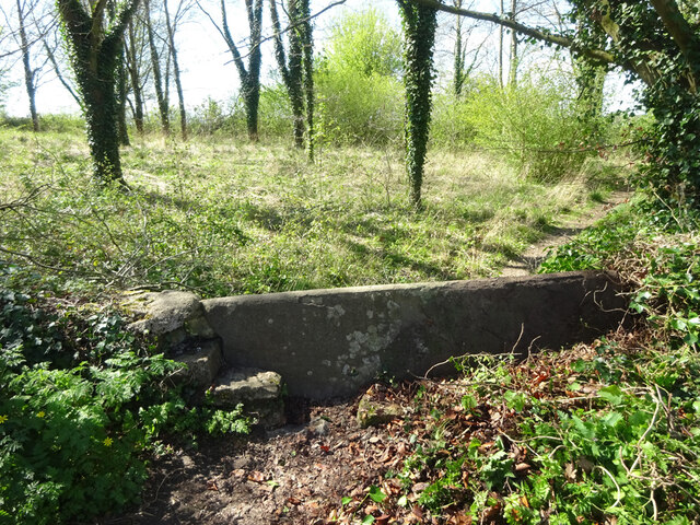
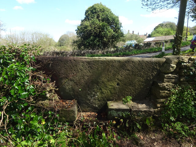
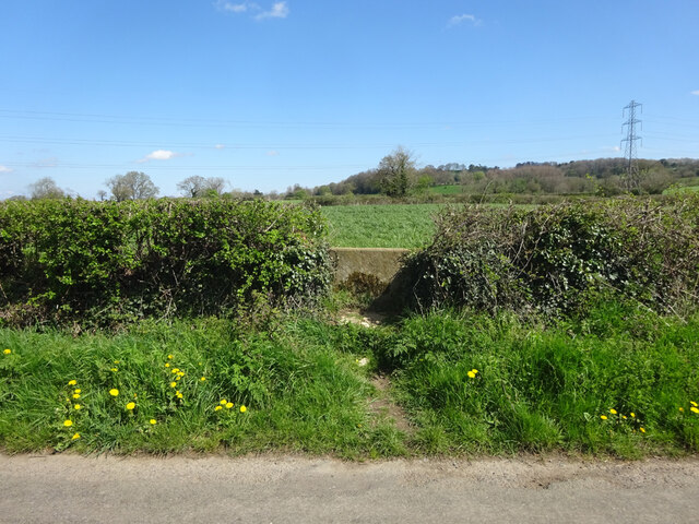
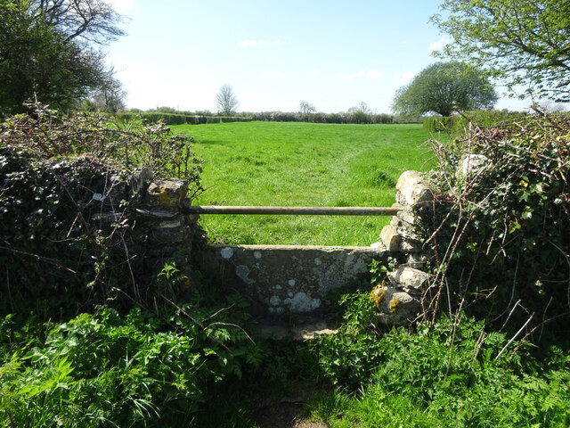
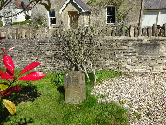
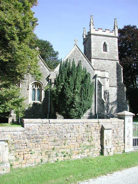
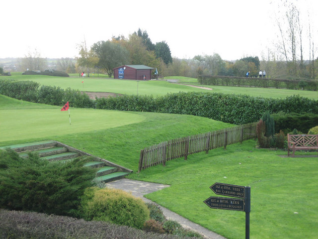
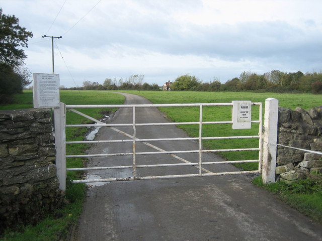
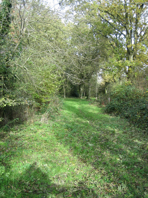
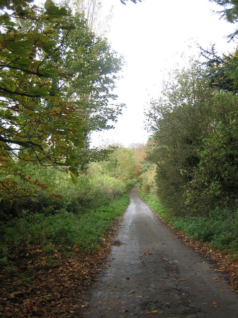
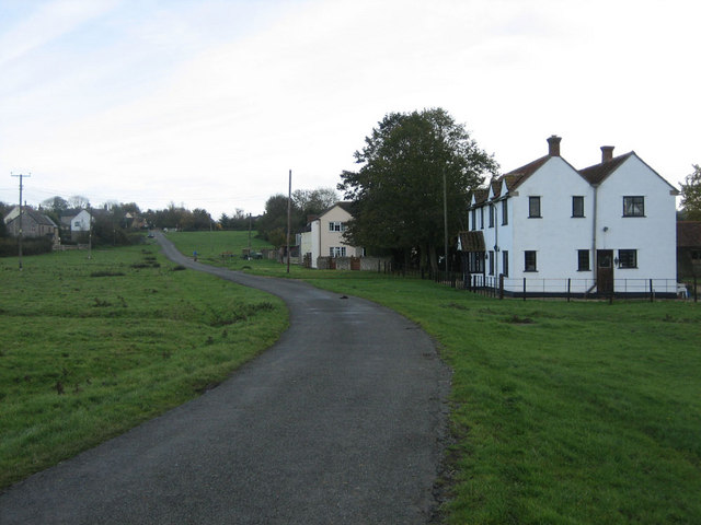
Little Sodbury End Images

Images are sourced within 2km of 51.553449/-2.368485 or Grid Reference ST7483. Thanks to Geograph Open Source API. All images are credited.

Stone Stile, Little Sodbury Opposite the church, on Gloucestershire footpath LSL/6. Looking from the road, the view looking from the copse is <a href="https://www.geograph.org.uk/photo/7148151">ST7583 : Stone Stile, Little Sodbury</a>.
Stone Stile, Little Sodbury
Opposite the church, on Gloucestershire footpath LSL/6. Looking from the road, the view looking from the copse is ST7583 : Stone Stile, Little Sodbury.
Stone Stile, Little Sodbury Opposite the church, on Gloucestershire footpath LSL/6. Looking from the road, the view looking from the copse is <a href="https://www.geograph.org.uk/photo/7148149">ST7583 : Stone Stile, Little Sodbury</a>.
Stone Stile, Little Sodbury
Opposite the church, on Gloucestershire footpath LSL/6. Looking from the road, the view looking from the copse is ST7583 : Stone Stile, Little Sodbury.
Stone Stile, Little Sodbury Looking SW from Gloucestershire footpath LHO/66 to the road and <a href="https://www.geograph.org.uk/photo/7148176">ST7583 : Stone Stile, Little Sodbury</a>. The view from the road is <a href="https://www.geograph.org.uk/photo/7148170">ST7583 : Stone Stile, Little Sodbury</a>.
Stone Stile, Little Sodbury
Looking SW from Gloucestershire footpath LHO/66 to the road and ST7583 : Stone Stile, Little Sodbury. The view from the road is ST7583 : Stone Stile, Little Sodbury.
Stone Stile, Little Sodbury Looking NE to Gloucestershire footpath LHO/66 from the road. The view to the road is <a href="https://www.geograph.org.uk/photo/7148168">ST7583 : Stone Stile, Little Sodbury</a>.
Stone Stile, Little Sodbury
Looking NE to Gloucestershire footpath LHO/66 from the road. The view to the road is ST7583 : Stone Stile, Little Sodbury.
Stone Stile, Little Sodbury Looking NE towards the road and <a href="https://www.geograph.org.uk/photo/7148168">ST7583 : Stone Stile, Little Sodbury</a> on Gloucestershire footpath LSL/4. The view from the road is <a href="https://www.geograph.org.uk/photo/7148170">ST7583 : Stone Stile, Little Sodbury</a>.
Stone Stile, Little Sodbury
Looking NE towards the road and ST7583 : Stone Stile, Little Sodbury on Gloucestershire footpath LSL/4. The view from the road is ST7583 : Stone Stile, Little Sodbury.
Stone Stile, Little Sodbury Looking SW from the road to Gloucestershire footpath LSL/4. The view to the road is <a href="https://www.geograph.org.uk/photo/7148176">ST7583 : Stone Stile, Little Sodbury</a>.
Stone Stile, Little Sodbury
Looking SW from the road to Gloucestershire footpath LSL/4. The view to the road is ST7583 : Stone Stile, Little Sodbury.
Boundary Stone, Little Sodbury End Boundary between parishes of Little Sodbury and Horton. In front of a property that has been a pub and a shop, but now a private house.

Inscription: A Nᴼ 1 / L S / 1785

Milestone Society National ID: GL_LSOHOR01pb
Boundary Stone, Little Sodbury End
Boundary between parishes of Little Sodbury and Horton. In front of a property that has been a pub and a shop, but now a private house. Inscription: A Nᴼ 1 / L S / 1785 Milestone Society National ID: GL_LSOHOR01pb
Field below Little Sodbury Wood Field on the gentle slope below the Cotswold escarpment and Little Sodbury Wood.
Field below Little Sodbury Wood
Field on the gentle slope below the Cotswold escarpment and Little Sodbury Wood.
Little Sodbury (Glos) St Adeline's Church
Chipping Sodbury Golf Course The Golf Course was established in 1905 and now covers 104 acres.  There are two courses, the Wissan Course and the Beaufort Course
Chipping Sodbury Golf Course
The Golf Course was established in 1905 and now covers 104 acres. There are two courses, the Wissan Course and the Beaufort Course
Harwood Gate The gated road between Little Sodbury and Chipping Sodbury by Harwoodgate Farm.
Harwood Gate
The gated road between Little Sodbury and Chipping Sodbury by Harwoodgate Farm.
The Chapel at Little Sodbury End Tyndale Baptist Chapel at Little Sodbury End.  The foundation stones are dated July 28th 1890.
The Chapel at Little Sodbury End
Tyndale Baptist Chapel at Little Sodbury End. The foundation stones are dated July 28th 1890.
Footpath This footpath, east of Horton near Chipping Sodbury links Little Sodbury End to Horton Bushes
Footpath
This footpath, east of Horton near Chipping Sodbury links Little Sodbury End to Horton Bushes
To Little Sodbury Lane leading down to Little Sodbury close to the Cotswold Way
To Little Sodbury
Lane leading down to Little Sodbury close to the Cotswold Way
Horseshoe Farm Thatched farmhouse at Horton near Chipping Sodbury
Horseshoe Farm
Thatched farmhouse at Horton near Chipping Sodbury
Little Sodbury End Unfenced road leading off Sodbury Common toward Little Sodbury End
Little Sodbury End
Unfenced road leading off Sodbury Common toward Little Sodbury End
Cotswold Way taken by James Meaden, Year 3
Cotswold Way
taken by James Meaden, Year 3
houses on Widden Hill taken by Phoebe Clayton
year 3
houses on Widden Hill
taken by Phoebe Clayton year 3
Show me another place!

Little Sodbury End is located at Grid Ref: ST7483 (Lat: 51.553449, Lng: -2.368485)

Unitary Authority: South Gloucestershire

Police Authority: Avon and Somerset

What 3 Words

///suits.explorer.completed. Near Horton, Gloucestershire

Related Wikis

Little Sodbury

Little Sodbury is a village and former civil parish, now in the parish of Horton, in the South Gloucestershire district, in the ceremonial county of Gloucestershire...

Little Sodbury Manor

Little Sodbury Manor is a 15th-century manor house in Little Sodbury, Gloucestershire, England. It is a Grade I listed building. == History == The lords...

Chipping Sodbury Town F.C.

Chipping Sodbury Town Football Club is a football club based in Chipping Sodbury, South Gloucestershire, England. They are currently members of the Hellenic...

St James the Elder, Horton

St James the Elder, Horton is a parish church in Horton, Gloucestershire. It is a Grade 1 listed building. It was originally built in the twelfth century...

Nearby Amenities

Located within 500m of 51.553449,-2.368485
Barrier: cattle_grid
Lat/Long: 51.5534022/-2.3715985
Barrier: stile
Lat/Long: 51.5495438/-2.3652121
Bus Stop
Totteroak Farm
Naptan AtcoCode: 0170SGB20854
Naptan Bearing: SW
Naptan CommonName: Totteroak Farm
Naptan NaptanCode: sglpajw
Naptan Street: Horton Road
Naptan Verified: no
Source: naptan_import
Lat/Long: 51.5556349/-2.3644406
Bus Stop
Totteroak Farm
Naptan AtcoCode: 0170SGB20855
Naptan Bearing: NE
Naptan CommonName: Totteroak Farm
Naptan NaptanCode: sglpajt
Naptan Street: Horton Road
Naptan Verified: no
Source: naptan_import
Lat/Long: 51.555625/-2.3647145
Post Box
Post Box Type: wall
Postal Code: BS37
Ref: BS37 238
Source: survey
Lat/Long: 51.5528403/-2.3665998
Telephone
Booth: K6
Covered: booth
Man Made: telephone_box
Lat/Long: 51.5536407/-2.3662445
Power: tower
Source: Bing
Lat/Long: 51.5536963/-2.3656371
Power: tower
Source: Bing
Lat/Long: 51.555625/-2.3693697
Power: tower
Source: Bing
Lat/Long: 51.5528742/-2.3613858
Little Sodbury End
Place: hamlet
Lat/Long: 51.5536063/-2.3674451
Barrier: cattle_grid
Lat/Long: 51.5526746/-2.366927
Power: pole
Lat/Long: 51.5522788/-2.3750451
Power: pole
Lat/Long: 51.5523612/-2.3736093
Power: pole
Lat/Long: 51.5524378/-2.3723307
Power: pole
Lat/Long: 51.5525202/-2.3709319
Power: pole
Lat/Long: 51.5525604/-2.3702325
Power: pole
Lat/Long: 51.5525987/-2.3693698
Power: pole
Lat/Long: 51.5526873/-2.3678494
Power: pole
Lat/Long: 51.5527266/-2.3669436
Power: pole
Lat/Long: 51.5523805/-2.3694799
Power: pole
Lat/Long: 51.552273/-2.3705248
Power: pole
Lat/Long: 51.553208/-2.3665272
Power: pole
Lat/Long: 51.5530839/-2.3666398
Power: pole
Lat/Long: 51.5526306/-2.3663541
Power: pole
Lat/Long: 51.5526887/-2.3660777
Power: pole
Lat/Long: 51.5525748/-2.3657521
Power: pole
Lat/Long: 51.5528108/-2.3655817
Bench
Backrest: yes
Material: wood
Lat/Long: 51.5526562/-2.3666438
Power: pole
Lat/Long: 51.5523277/-2.3668294
Power: pole
Lat/Long: 51.5519082/-2.3666918
Power: pole
Lat/Long: 51.5510391/-2.3651237
Power: pole
Lat/Long: 51.5512254/-2.3664654
Power: pole
Lat/Long: 51.5498671/-2.3666605
Power: pole
Lat/Long: 51.5553472/-2.362994
Power: pole
Lat/Long: 51.5551427/-2.3633566
Power: pole
Lat/Long: 51.5547069/-2.3641428
Barrier: stile
Lat/Long: 51.5544354/-2.368349
Direction: 180
Generator Method: photovoltaic
Generator Output Electricity: yes
Generator Solar Modules: 16
Generator Source: solar
Generator Type: solar_photovoltaic_panel
Location: roof
Power: generator
Lat/Long: 51.5522432/-2.3697606
Direction: 195
Generator Method: photovoltaic
Generator Output Electricity: yes
Generator Solar Modules: 16
Generator Source: solar
Generator Type: solar_photovoltaic_panel
Location: roof
Power: generator
Lat/Long: 51.5547922/-2.3648408
The data included in this document is from www.openstreetmap.org. The data is made available under ODbL.

Have you been to Little Sodbury End?

Leave your review of Little Sodbury End below (or comments, questions and feedback).