Morleyhill Fell

Downs, Moorland in Northumberland

England

Morleyhill Fell

Trig point on Pike Rigg Pike Rigg is a minor elongated rise on Whitfield Moor. Stones have been gathered close to the pillar and some have been formed into a 'currick' which is just out of view to the right. The small building in the distance is used as a store for a farmer or shepherd.
Trig point on Pike Rigg Credit: Trevor Littlewood

The requested URL returned error: 429 Too Many Requests

If you have any feedback on the listing, please let us know in the comments section below.

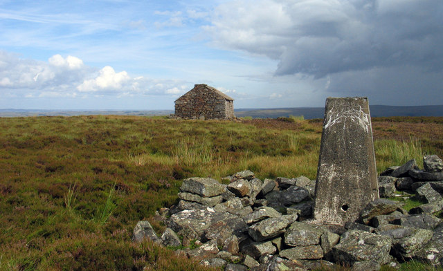
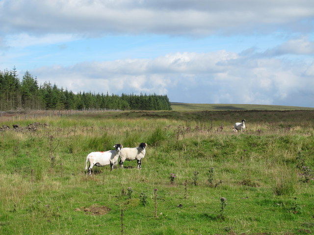
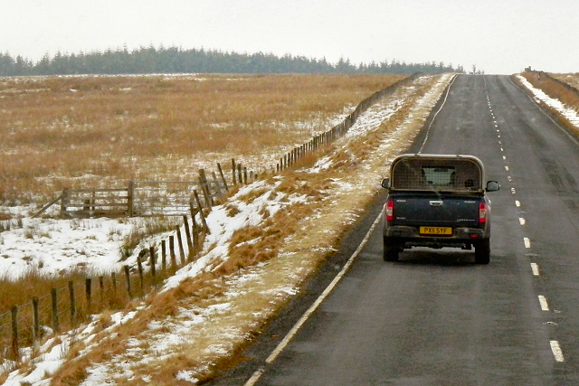
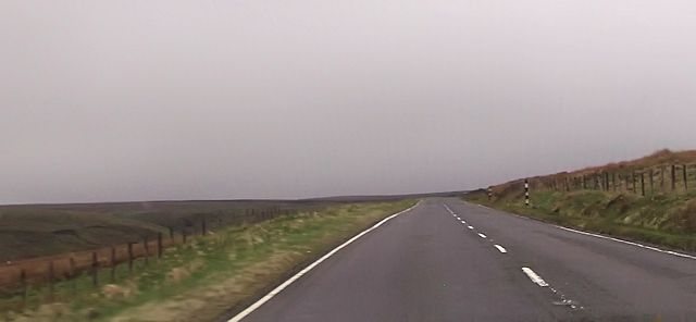
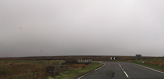
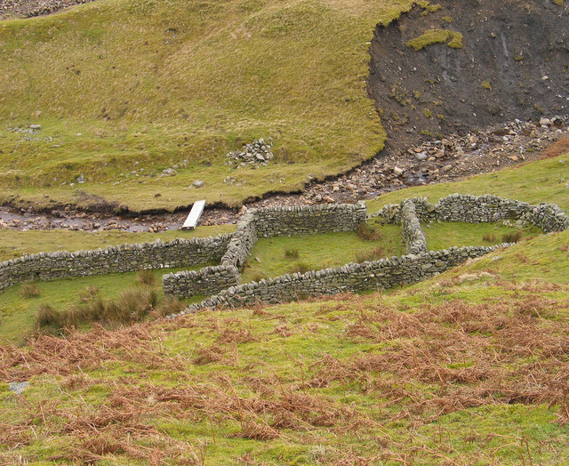
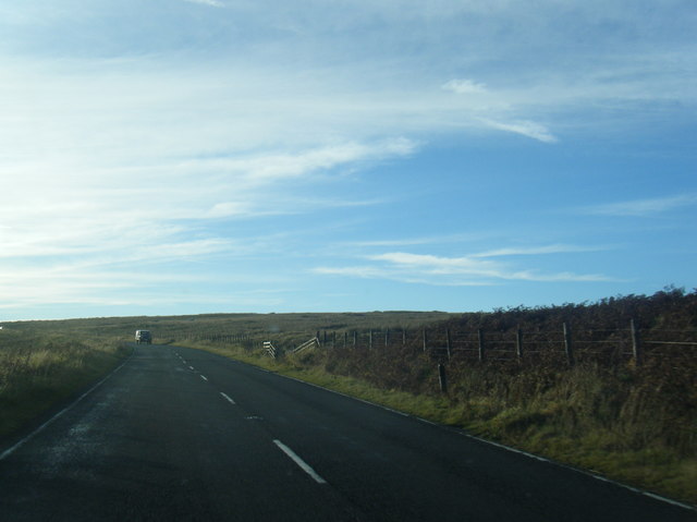
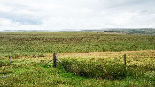
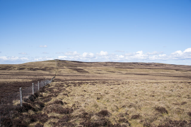
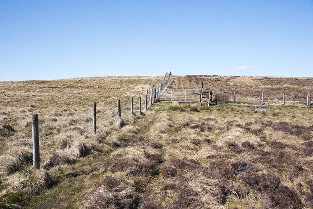
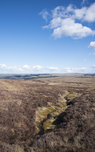
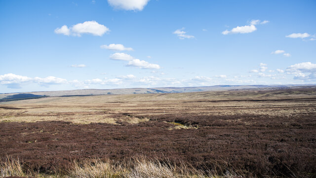
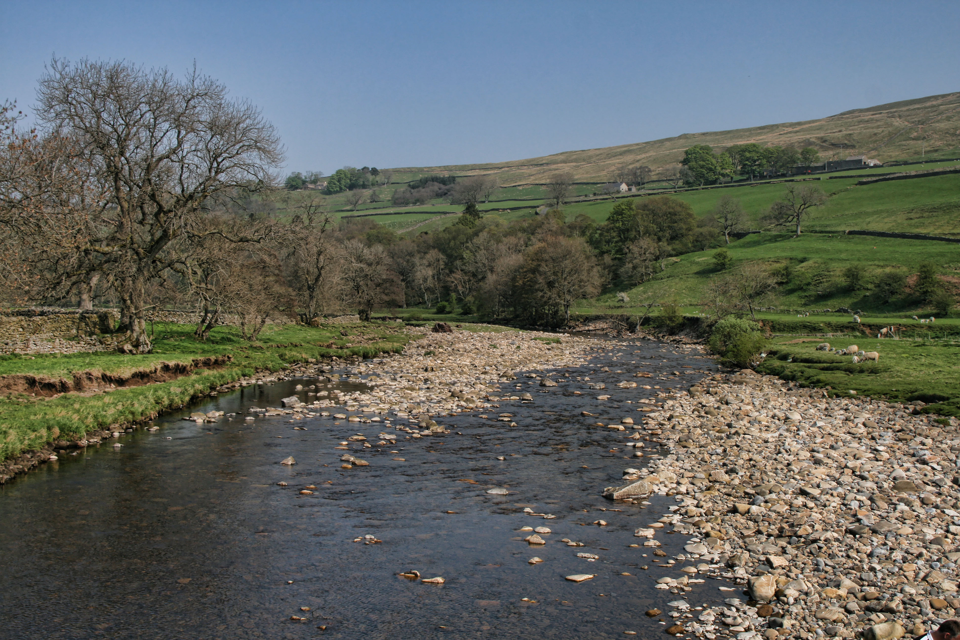
Morleyhill Fell Images

Images are sourced within 2km of 54.867674/-2.403876 or Grid Reference NY7452. Thanks to Geograph Open Source API. All images are credited.

Trig point on Pike Rigg Pike Rigg is a minor elongated rise on Whitfield Moor. Stones have been gathered close to the pillar and some have been formed into a 'currick' which is just out of view to the right. The small building in the distance is used as a store for a farmer or shepherd.
Trig point on Pike Rigg
Pike Rigg is a minor elongated rise on Whitfield Moor. Stones have been gathered close to the pillar and some have been formed into a 'currick' which is just out of view to the right. The small building in the distance is used as a store for a farmer or shepherd.
Long Cross
Long Cross
A686, Whitfield Moor Travelling south from Haydon Bridge to Alston along the A686. This is still in Northumberland; the border with Cumbria is about a mile ahead.
A686, Whitfield Moor
Travelling south from Haydon Bridge to Alston along the A686. This is still in Northumberland; the border with Cumbria is about a mile ahead.
Straight road south of Round Hill
Sharp bend on A686 on Whitfield Moor The bridge on the bend crosses a stream
Sharp bend on A686 on Whitfield Moor
The bridge on the bend crosses a stream
Sheepfold in Hope Cleugh Hope Cleugh is the main valley in this vicinity where a number of streams come together - stones in the oddly named Quonister Cleugh can just be seen at the top left corner in the image. There are several sheepfolds in the area too; this is the most intricately made of them.
Sheepfold in Hope Cleugh
Hope Cleugh is the main valley in this vicinity where a number of streams come together - stones in the oddly named Quonister Cleugh can just be seen at the top left corner in the image. There are several sheepfolds in the area too; this is the most intricately made of them.
Reedy pasture above Whitewalls Burn Sandyford Sike meanders down from Ouston Fell across the valley.
Reedy pasture above Whitewalls Burn
Sandyford Sike meanders down from Ouston Fell across the valley.
A686 below Whitfield Moor
A686 bend above Longcleugh Bolt
A686 nears county boundary
Road (A686) leaving Cumbria and entering Northumberland Looking north-eastward.
Road (A686) leaving Cumbria and entering Northumberland
Looking north-eastward.
Old Milestone by the A686, near Long Cleugh Carved stone post by the A686, in parish of Plenmeller with Whitfield (Tynedale District), South of Morleyhill Fell, on grass verge, on South side of road. Haydon Bridge stone, erected by the Alston turnpike trust in the 18th century. Fallen.

Inscription reads:-
HAYDON
BRIDGE
(12)
ALSTON
5  

Milestone Society National ID: NB_HBAS12
Old Milestone by the A686, near Long Cleugh
Carved stone post by the A686, in parish of Plenmeller with Whitfield (Tynedale District), South of Morleyhill Fell, on grass verge, on South side of road. Haydon Bridge stone, erected by the Alston turnpike trust in the 18th century. Fallen. Inscription reads:- HAYDON BRIDGE (12) ALSTON 5 Milestone Society National ID: NB_HBAS12
Willyshaw Rigg Willyshaw Rigg is an area of flat, desolate moorland lying to the west of the A686. The road lies out of view in front of the dark bands towards the right side of the image which are the remains of plantations on the east side of the road.
Willyshaw Rigg
Willyshaw Rigg is an area of flat, desolate moorland lying to the west of the A686. The road lies out of view in front of the dark bands towards the right side of the image which are the remains of plantations on the east side of the road.
Shooting hut beside Whitewalls Burn in 1978 The hut stands beside the burn which flows to the right of the building. It also lies just below the A686, a trans-Pennine route between the north-east and Cumbria.
Shooting hut beside Whitewalls Burn in 1978
The hut stands beside the burn which flows to the right of the building. It also lies just below the A686, a trans-Pennine route between the north-east and Cumbria.
Moorland slope rising to Pike Rigg Gently rising moorland alongside a boundary fence, north of Willyshaw Rigg.
Moorland slope rising to Pike Rigg
Gently rising moorland alongside a boundary fence, north of Willyshaw Rigg.
Ladder stile for 'recommended footpath' The 'recommended footpath' climbs from the A686 to the south of this location. There's a notice there that asks that walkers use the route. There's hardly a trace of an actual path on the ground as presumably, there are few who wish to climb to Pike Rigg, the hill above. All of the land hereabouts is of course access land in any case!
Ladder stile for 'recommended footpath'
The 'recommended footpath' climbs from the A686 to the south of this location. There's a notice there that asks that walkers use the route. There's hardly a trace of an actual path on the ground as presumably, there are few who wish to climb to Pike Rigg, the hill above. All of the land hereabouts is of course access land in any case!
Stream groove on Mainsrigg Fell Mainsrigg Fell is part of the moorland upland Pike Rigg. The stream head doesn't register on OS mapping but must surely feed into Little Willy's Sike.
West Allendale is in the distance.
Stream groove on Mainsrigg Fell
Mainsrigg Fell is part of the moorland upland Pike Rigg. The stream head doesn't register on OS mapping but must surely feed into Little Willy's Sike. West Allendale is in the distance.
Moorland east of Pike Rigg Pike Rigg is part of Whitfield Moor, here, east of the trig point and hut which are at the high point.
The ridge in the far distance lies between the East and West Allendales.
Moorland east of Pike Rigg
Pike Rigg is part of Whitfield Moor, here, east of the trig point and hut which are at the high point. The ridge in the far distance lies between the East and West Allendales.
Show me another place!

Morleyhill Fell is located at Grid Ref: NY7452 (Lat: 54.867674, Lng: -2.403876)

Unitary Authority: Northumberland

Police Authority: Northumbria

What 3 Words

///elevates.likes.again. Near Alston, Cumbria

Nearby Locations

Morleyhill Fell

Related Wikis

Ouston, Ninebanks

Ouston is a small settlement in south west Northumberland, England in the North Pennines Area of Outstanding Natural Beauty 8 miles (13 km) north-east...

Ayle

Ayle is a village in Northumberland, England, situated to the north of Alston. There are six residences in the hamlet. == Governance == Ayle is in the...

Ninebanks

Ninebanks is a small village in south west Northumberland, England in the North Pennines Area of Outstanding Natural Beauty 8 miles (13 km) north-east...

Kirkhaugh

Kirkhaugh is a very small village and former civil parish, now in the parish of Knaresdale with Kirkhaugh, adjacent to the River South Tyne in Northumberland...

Nearby Amenities

Located within 500m of 54.867674,-2.403876
Morleyhill Fell
Place: locality
Lat/Long: 54.869248/-2.3970283
Hope Cleugh
Place: locality
Lat/Long: 54.8702841/-2.4085278
The data included in this document is from www.openstreetmap.org. The data is made available under ODbL.

Have you been to Morleyhill Fell?

Leave your review of Morleyhill Fell below (or comments, questions and feedback).