Brae of Kinkell

Downs, Moorland in Kincardineshire

Scotland

Brae of Kinkell

Burnmouth Brig over Burnie Shag
Burnmouth Brig over Burnie Shag Credit: Douglas Nelson

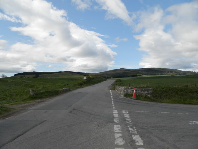
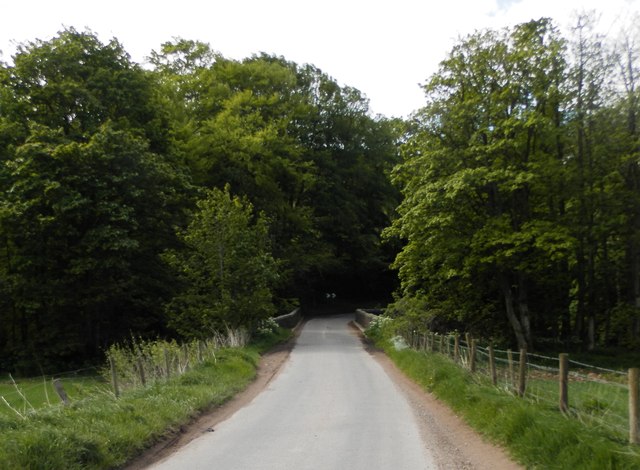
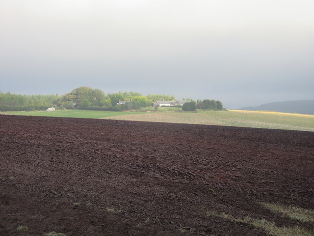
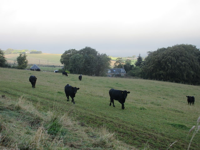
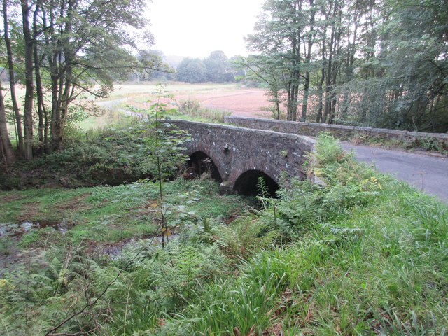
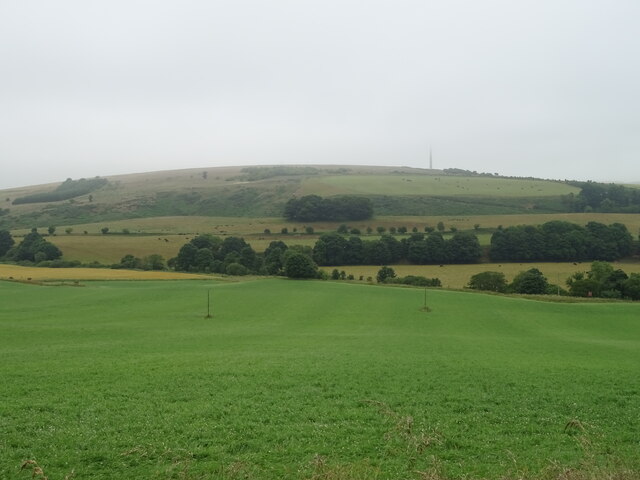
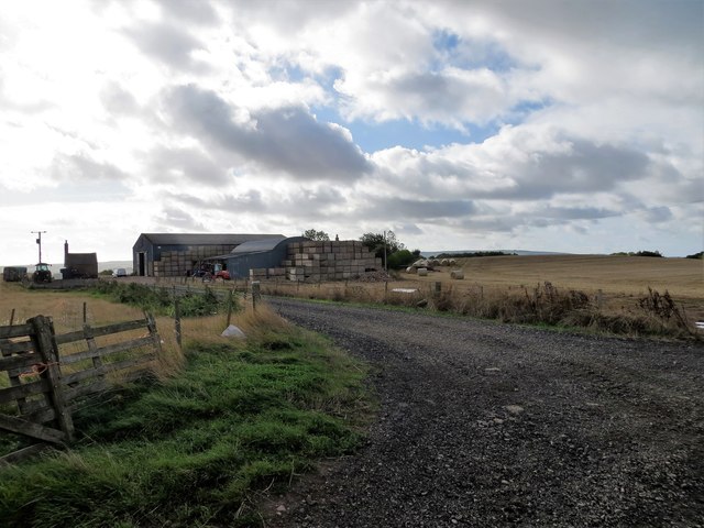
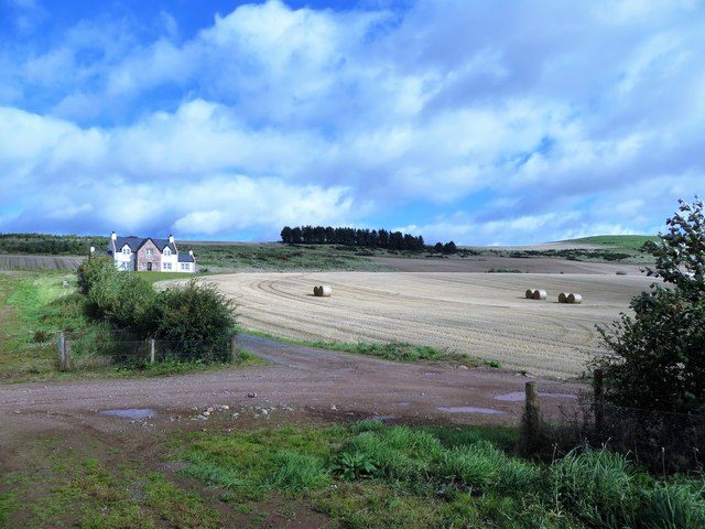
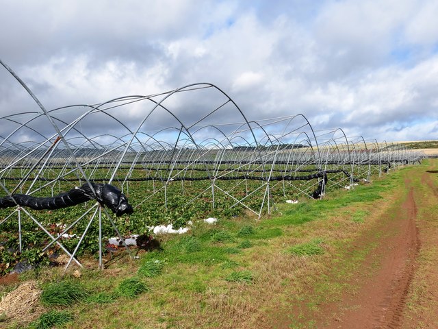
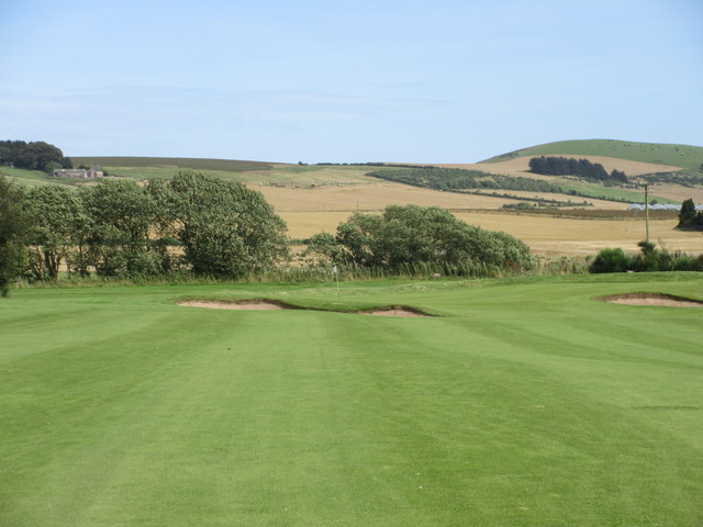
Brae of Kinkell is a picturesque area located in Kincardineshire, Scotland. Situated on the downs and moorland, it boasts breathtaking natural beauty and a tranquil atmosphere. The region is characterized by rolling hills, heather-covered moors, and wide open spaces, making it a haven for outdoor enthusiasts and nature lovers.

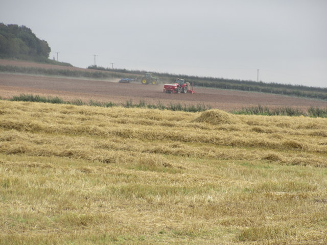
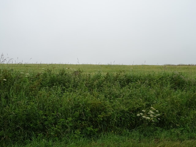
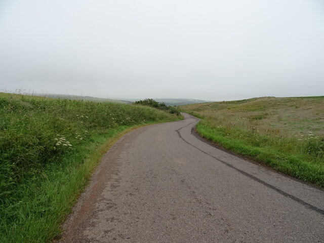
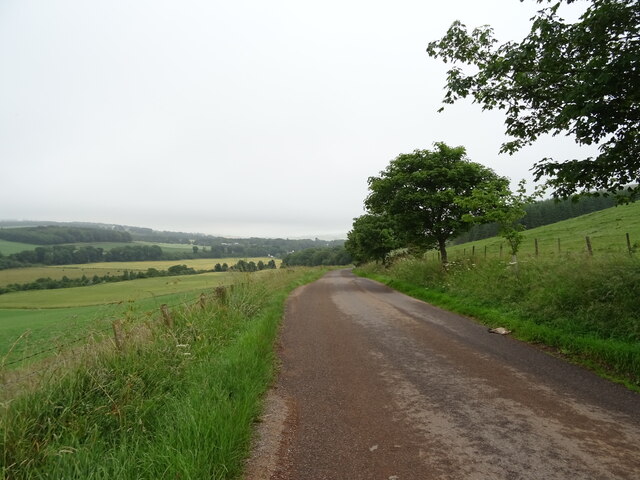
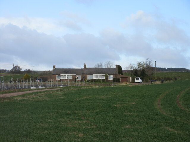
The downs of Brae of Kinkell offer stunning views of the surrounding landscape, with its undulating terrain and patches of vibrant green fields. The area is dotted with charming farmsteads and cottages that add to its idyllic charm. Visitors can take leisurely walks or hikes along the well-maintained trails, exploring the natural wonders of the moorland.

The moorland of Brae of Kinkell is a unique ecosystem, rich in biodiversity. It is home to an array of wildlife, including red grouse, curlews, and other bird species. The moors also host a variety of plant life, including heather, mosses, and lichens, creating a colorful tapestry that changes with the seasons.

While Brae of Kinkell is primarily known for its natural beauty, the area also offers opportunities for various recreational activities. Outdoor enthusiasts can engage in birdwatching, photography, or simply enjoy a peaceful picnic amidst the stunning surroundings. The downs and moorland provide an ideal setting for horse riding and cycling, with several trails catering to these activities.

Overall, Brae of Kinkell in Kincardineshire is a hidden gem, offering a serene and picturesque getaway for those seeking solace in nature's embrace.

If you have any feedback on the listing, please let us know in the comments section below.

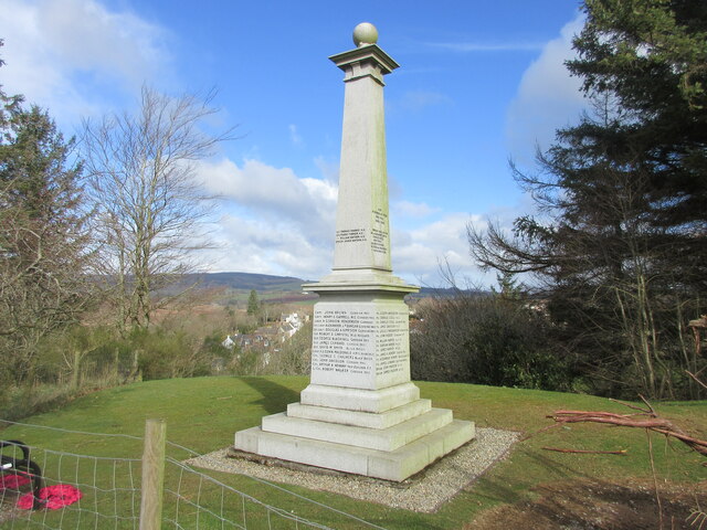
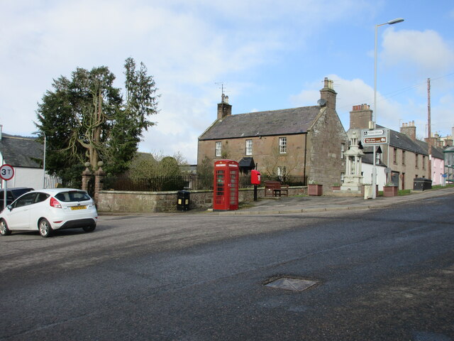
Brae of Kinkell Images

Images are sourced within 2km of 56.910595/-2.425451 or Grid Reference NO7479. Thanks to Geograph Open Source API. All images are credited.

Burnmouth Brig over Burnie Shag
Bridge of Bervie Bridge of Bervie over Bervie Water
Bridge of Bervie
Bridge of Bervie over Bervie Water
Mid Blairs A distant view of Mid Blairs from the roadside to the south-east.
Mid Blairs
A distant view of Mid Blairs from the roadside to the south-east.
Cattle at Auchtochter Black cattle, with Auchtochter in the background.
Cattle at Auchtochter
Black cattle, with Auchtochter in the background.
Bridge over the Bervie Bridge carrying the C19K Auchenblae to Glenbervie road over the Bervie Water.
Bridge over the Bervie
Bridge carrying the C19K Auchenblae to Glenbervie road over the Bervie Water.
Farmwork on Herscha Hill Working on the fields near Newlands on the lower slopes of Herscha Hill.
Farmwork on Herscha Hill
Working on the fields near Newlands on the lower slopes of Herscha Hill.
Field above the Glenbervie Road
Glenbervie Road From Kinkell towards Glenbervie.
Glenbervie Road
From Kinkell towards Glenbervie.
Grazing, Auchtochter Towards a distant Droop Hill.
Grazing, Auchtochter
Towards a distant Droop Hill.
Glenbervie Road, Auchtochter Looking east.
Glenbervie Road, Auchtochter
Looking east.
Cushnie Farm Cottages Cottages at the entrance drive to Cushnie, viewed from the south-east.
Cushnie Farm Cottages
Cottages at the entrance drive to Cushnie, viewed from the south-east.
Scarecrow at Bankhead Rudimentary scarecrow in a field to the east of Bankhead.
Scarecrow at Bankhead
Rudimentary scarecrow in a field to the east of Bankhead.
Fordoun War Memorial Fordoun War Memorial on Gilbert's Hill overlooking Auchenblae from the south.
Fordoun War Memorial
Fordoun War Memorial on Gilbert's Hill overlooking Auchenblae from the south.
Former telephone box in Auchenblae Red telephone box now housing a defibrillator in the centre of Auchenblae.
Former telephone box in Auchenblae
Red telephone box now housing a defibrillator in the centre of Auchenblae.
Bankhead Farm, Auchenblae
Wattieston House, Auchenblae On the lower slopes of Knock Hill
Wattieston House, Auchenblae
On the lower slopes of Knock Hill
Tunnels for strawberries below Wattieston House Alas they had all been picked
Tunnels for strawberries below Wattieston House
Alas they had all been picked
Auchenblae Golf Course, 1st/10th Hole, Monboddo The opening hole at Auchenblae, looking to the green with Knock Hill beyond on the extreme right.
Auchenblae Golf Course, 1st/10th Hole, Monboddo
The opening hole at Auchenblae, looking to the green with Knock Hill beyond on the extreme right.
Show me another place!

Brae of Kinkell is located at Grid Ref: NO7479 (Lat: 56.910595, Lng: -2.425451)

Unitary Authority: Aberdeenshire

Police Authority: North East

What 3 Words

///empires.clumped.aviation. Near Laurencekirk, Aberdeenshire

Nearby Locations

Brae of Kinkell Kinkell

Related Wikis

Droop Hill

Droop Hill is a mountain landform in the Kincardine and Mearns region of Aberdeenshire, Scotland. The locale had been featured in a windfarm proposal...

Auchinblae distillery

Auchenblae distillery was a scotch whisky distillery in Auchenblae, Kincardine, Aberdeenshire, Scotland. == History == The distillery was created in 1895...

Fordoun Stone

The Fordoun Stone is a class II Pictish cross slab in Fordoun parish church, Auchenblae, Aberdeenshire, Scotland. == Description == A slab of Old Red Sandstone...

Glenbervie House

Glenbervie House is a mansion house, which has incorporated parts of an earlier castle, located near Glenbervie, Kincardine and Mearns, Scotland. ��2...

Nearby Amenities

Located within 500m of 56.910595,-2.425451
Power: pole
Lat/Long: 56.9145952/-2.4236048
Power: pole
Lat/Long: 56.9138324/-2.4238355
Power: pole
Lat/Long: 56.913072/-2.4240772
Power: pole
Lat/Long: 56.9123818/-2.424299
Power: pole
Lat/Long: 56.9117994/-2.4234407
Power: pole
Lat/Long: 56.9112266/-2.422589
Power: pole
Lat/Long: 56.9106708/-2.4217461
Power: pole
Lat/Long: 56.9100581/-2.4208301
Power: pole
Lat/Long: 56.9094732/-2.4199717
Power: pole
Lat/Long: 56.9088968/-2.4191111
Power: pole
Lat/Long: 56.908232/-2.4192664
Power: pole
Lat/Long: 56.9075302/-2.4194327
Power: pole
Lat/Long: 56.9097772/-2.4220855
Power: pole
Lat/Long: 56.9095205/-2.4233165
Power: pole
Lat/Long: 56.9092759/-2.4244632
Power: pole
Lat/Long: 56.9092419/-2.4188849
Power: pole
Lat/Long: 56.9097142/-2.4188361
Power: pole
Lat/Long: 56.9100648/-2.4193651
The data included in this document is from www.openstreetmap.org. The data is made available under ODbL.

Have you been to Brae of Kinkell?

Leave your review of Brae of Kinkell below (or comments, questions and feedback).