Kinkell

Settlement in Kincardineshire

Scotland

Kinkell

Field by Auchenblae A new pipeline is being laid beside the road here.
Field by Auchenblae Credit: Richard Webb

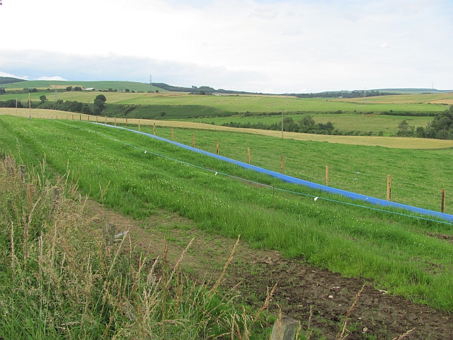
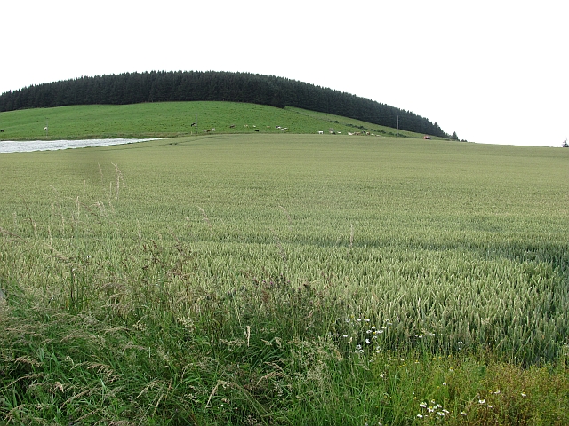
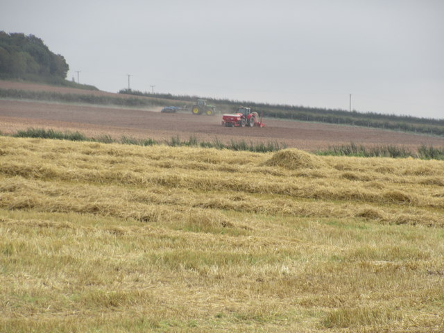
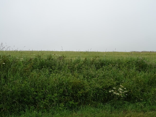
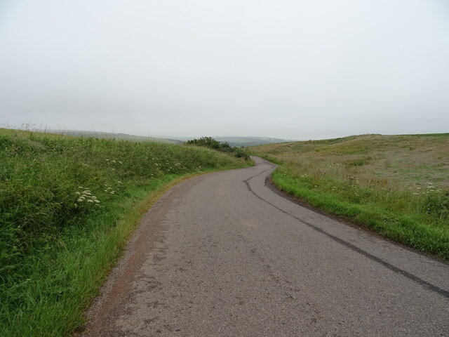
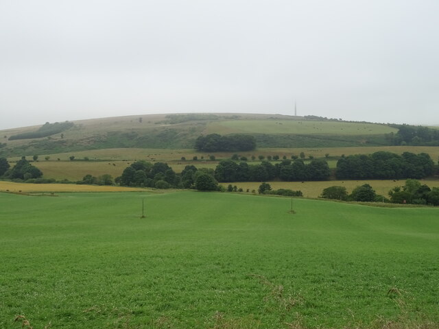
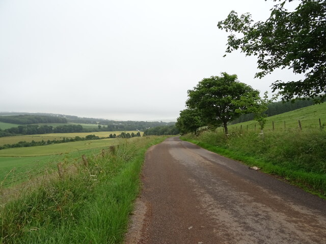
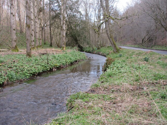
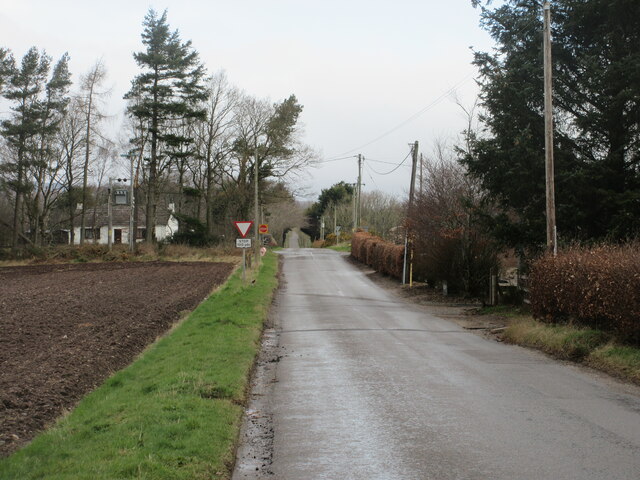
Kinkell is a small village located in the historic county of Kincardineshire, Scotland. Situated on the northeastern coast of the country, it lies approximately 6 miles south of the town of Stonehaven. The village is nestled between the North Sea to the east and the rolling hills and countryside to the west, offering residents and visitors picturesque views of both.

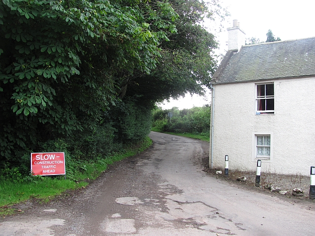
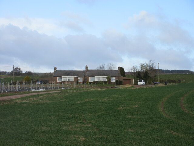
Kinkell is known for its idyllic rural setting and tranquil atmosphere. With a population of around 300, it is a close-knit community that values its heritage and natural surroundings. The village is primarily residential, with a scattering of traditional stone houses and cottages lining its streets.

One of the notable features of Kinkell is the Kinkell Ness Lighthouse, which stands proudly at the entrance to the village. Built in 1787, it serves as a navigational aid to ships entering the nearby Aberdeen Harbour. The lighthouse is a popular spot for tourists and photographers, offering a stunning backdrop against the rugged coastline.

While Kinkell may be a small village, it benefits from its proximity to Stonehaven, which provides residents with access to a wider range of amenities, including shops, schools, and healthcare facilities. Additionally, the nearby Dunnottar Castle, perched dramatically on a cliff overlooking the North Sea, is a significant historical landmark and a popular tourist destination.

Overall, Kinkell offers a peaceful and scenic retreat for those seeking a quiet village lifestyle amidst the beauty of the Scottish countryside and coastline.

If you have any feedback on the listing, please let us know in the comments section below.
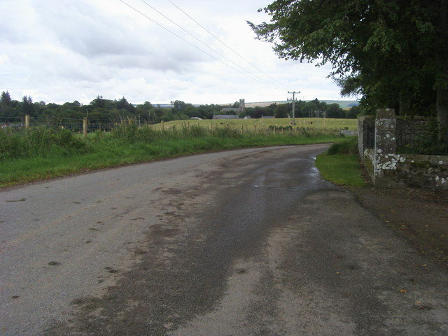
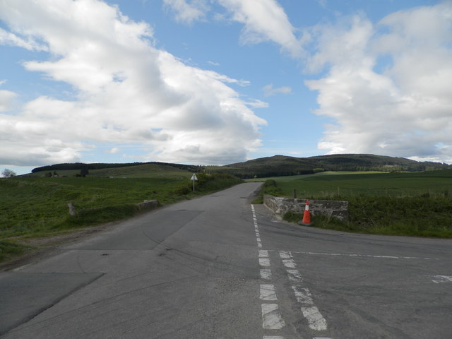
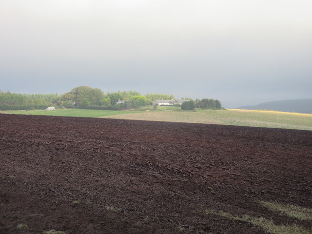
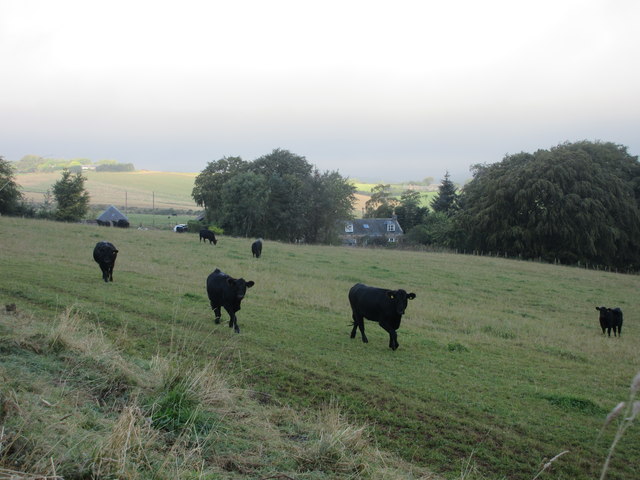
Kinkell Images

Images are sourced within 2km of 56.90161/-2.4284846 or Grid Reference NO7479. Thanks to Geograph Open Source API. All images are credited.

Field by Auchenblae A new pipeline is being laid beside the road here.
Field by Auchenblae
A new pipeline is being laid beside the road here.
Road into Auchenblae Warning of pipeline construction traffic.
Road into Auchenblae
Warning of pipeline construction traffic.
Wheat field by Auchenblae Nearby they are ploughing this year's stubble but this field has yet to turn from green.
Wheat field by Auchenblae
Nearby they are ploughing this year's stubble but this field has yet to turn from green.
Field by Auchenblae Field with a scarecrow.
Field by Auchenblae
Field with a scarecrow.
Looking to Auchenblae church From the cemetery looking to Auchenblae church
Looking to Auchenblae church
From the cemetery looking to Auchenblae church
Burnmouth Brig over Burnie Shag
Mid Blairs A distant view of Mid Blairs from the roadside to the south-east.
Mid Blairs
A distant view of Mid Blairs from the roadside to the south-east.
Cattle at Auchtochter Black cattle, with Auchtochter in the background.
Cattle at Auchtochter
Black cattle, with Auchtochter in the background.
Farmwork on Herscha Hill Working on the fields near Newlands on the lower slopes of Herscha Hill.
Farmwork on Herscha Hill
Working on the fields near Newlands on the lower slopes of Herscha Hill.
Field above the Glenbervie Road
Glenbervie Road From Kinkell towards Glenbervie.
Glenbervie Road
From Kinkell towards Glenbervie.
Grazing, Auchtochter Towards a distant Droop Hill.
Grazing, Auchtochter
Towards a distant Droop Hill.
Glenbervie Road, Auchtochter Looking east.
Glenbervie Road, Auchtochter
Looking east.
Luther Water The Luther Water on the west side of the road heading north into Auchenblae.
Luther Water
The Luther Water on the west side of the road heading north into Auchenblae.
Heading to Crossroads Minor road heading northwards to the B966 at Crossroads.
Heading to Crossroads
Minor road heading northwards to the B966 at Crossroads.
Cushnie Farm Cottages Cottages at the entrance drive to Cushnie, viewed from the south-east.
Cushnie Farm Cottages
Cottages at the entrance drive to Cushnie, viewed from the south-east.
Scarecrow at Bankhead Rudimentary scarecrow in a field to the east of Bankhead.
Scarecrow at Bankhead
Rudimentary scarecrow in a field to the east of Bankhead.
Fordoun War Memorial Fordoun War Memorial on Gilbert's Hill overlooking Auchenblae from the south.
Fordoun War Memorial
Fordoun War Memorial on Gilbert's Hill overlooking Auchenblae from the south.
Show me another place!

Kinkell is located at Grid Ref: NO7479 (Lat: 56.90161, Lng: -2.4284846)

Unitary Authority: Aberdeenshire

Police Authority: North East

What 3 Words

///sprouting.scrubber.ejects. Near Laurencekirk, Aberdeenshire

Nearby Locations

Kinkell Brae of Kinkell

Related Wikis

Auchinblae distillery

Auchenblae distillery was a scotch whisky distillery in Auchenblae, Kincardine, Aberdeenshire, Scotland. == History == The distillery was created in 1895...

Fordoun Stone

The Fordoun Stone is a class II Pictish cross slab in Fordoun parish church, Auchenblae, Aberdeenshire, Scotland. == Description == A slab of Old Red Sandstone...

Auchenblae

Auchenblae (, Scottish Gaelic: Achadh nam Blàth) is a village in the Kincardine and Mearns area of Aberdeenshire, formerly in Kincardineshire, Scotland...

Abbeyton Bridge

Abbeyton Bridge was a road bridge that carried the B966 road over the Dundee–Aberdeen line. == History == In June 2018, Aberdeenshire Council introduced...

Nearby Amenities

Located within 500m of 56.90161,-2.4284846
Power: pole
Lat/Long: 56.9034986/-2.4219346
Power: pole
Lat/Long: 56.9034307/-2.4231257
Power: pole
Lat/Long: 56.9033435/-2.4242968
Power: pole
Lat/Long: 56.9032697/-2.4254524
Power: pole
Lat/Long: 56.9031958/-2.4266168
Power: pole
Lat/Long: 56.9031219/-2.4277791
Power: pole
Lat/Long: 56.903048/-2.4288703
Power: pole
Lat/Long: 56.9030674/-2.4300126
Power: pole
Lat/Long: 56.9030904/-2.4314676
Power: pole
Lat/Long: 56.9031013/-2.4327119
Power: pole
Lat/Long: 56.9031376/-2.4341713
Power: pole
Lat/Long: 56.8996082/-2.4324413
Power: pole
Lat/Long: 56.9000757/-2.4326542
Power: pole
Lat/Long: 56.900576/-2.4328694
Power: pole
Lat/Long: 56.90123/-2.43314
Power: pole
Lat/Long: 56.9019022/-2.4334261
Power: pole
Lat/Long: 56.9025357/-2.43371
Power: pole
Lat/Long: 56.9038195/-2.4347746
The data included in this document is from www.openstreetmap.org. The data is made available under ODbL.

Have you been to Kinkell?

Leave your review of Kinkell below (or comments, questions and feedback).