Kinknockie

Settlement in Aberdeenshire

Scotland

Kinknockie

Farmland north of Ardallie Not an exciting view, but typical of the country hereabouts.
Farmland north of Ardallie Credit: David Purchase

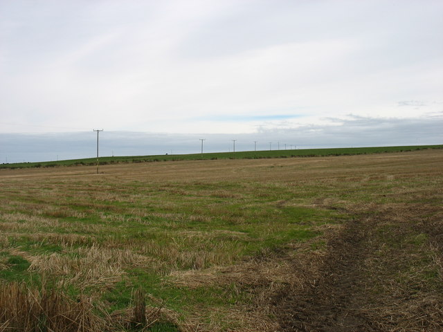
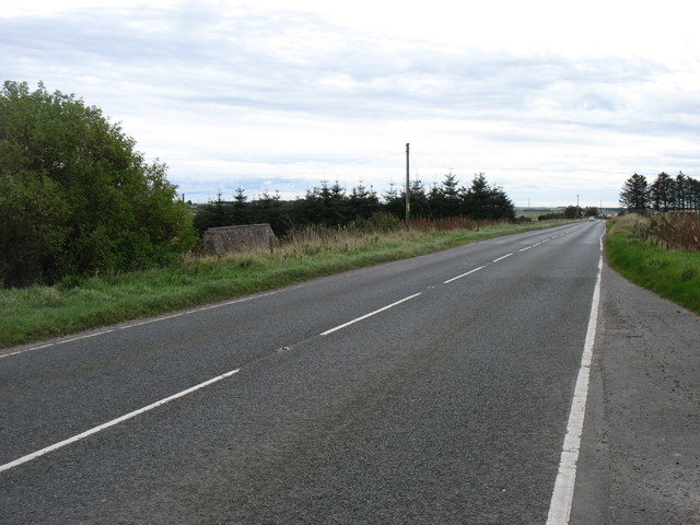
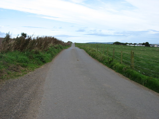
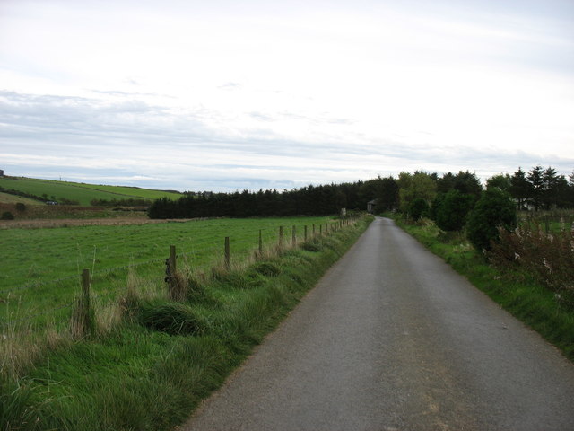
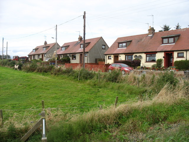
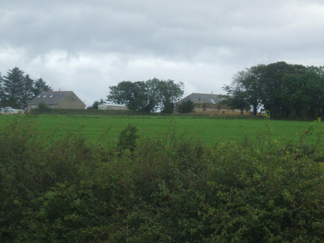
Kinknockie is a small village located in the Aberdeenshire region of Scotland. Situated near the coast, it is nestled between the towns of Macduff and Banff. With its picturesque setting and charming atmosphere, Kinknockie offers a tranquil retreat for both residents and visitors alike.

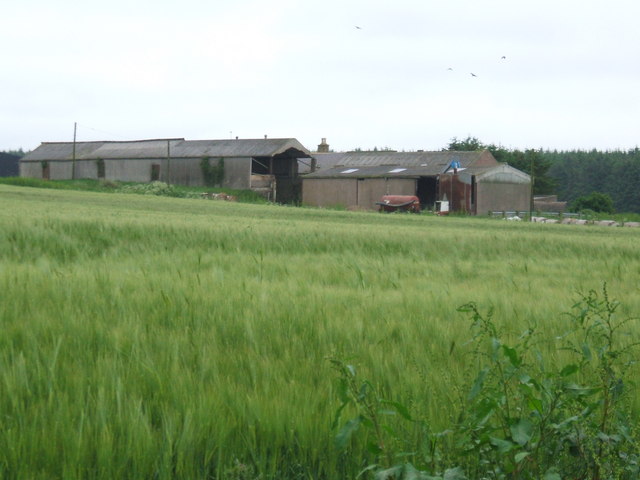
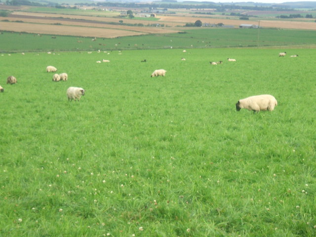
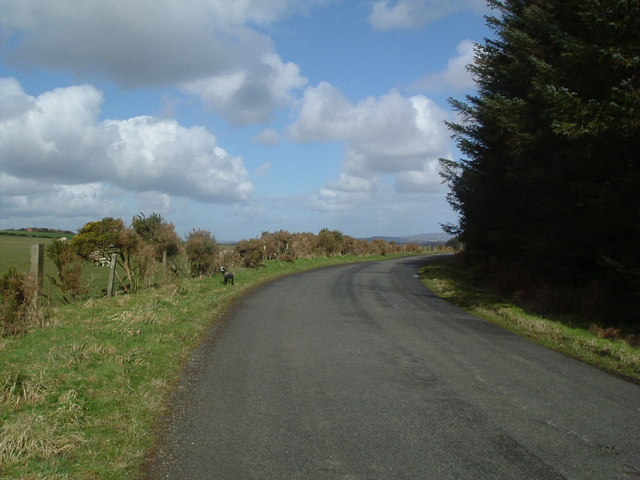
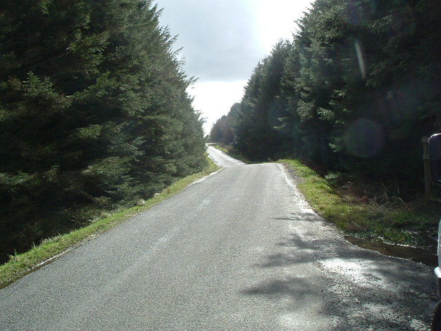
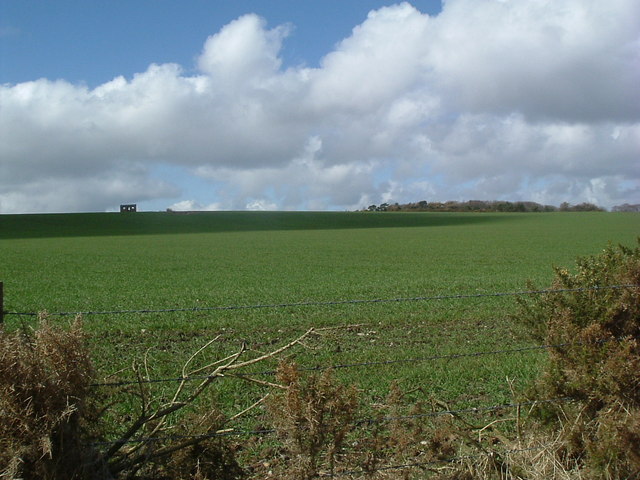
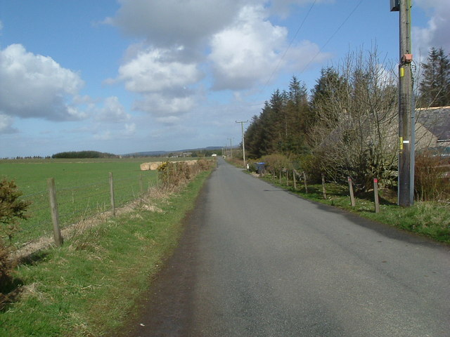
The village is known for its stunning natural beauty, surrounded by rolling hills and breathtaking sea views. Its coastal position allows for a range of outdoor activities, such as hiking along scenic trails, fishing in the nearby rivers, or simply enjoying a leisurely stroll along the sandy beaches.

Despite its small size, Kinknockie boasts a strong sense of community. The locals are friendly and welcoming, making it an ideal place for those seeking a close-knit village experience. The village center features a quaint square, where you can find a few local shops, cafes, and a charming pub serving traditional Scottish fare.

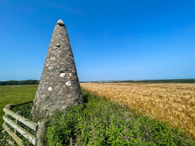
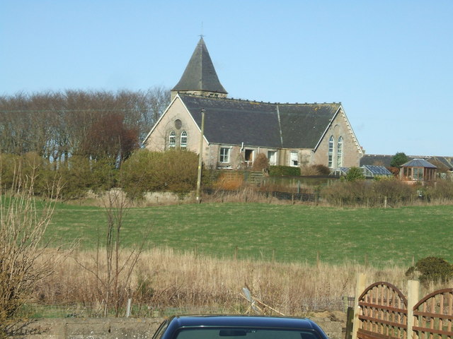
History buffs will appreciate Kinknockie's rich heritage. The area has a fascinating past, with remnants of ancient settlements and castles dotting the landscape. The nearby Macduff Marine Aquarium is also a popular attraction, offering an opportunity to learn about the diverse marine life found in the region.

Overall, Kinknockie offers a peaceful escape from the hustle and bustle of city life. Its natural beauty, friendly community, and historical significance make it a hidden gem in Aberdeenshire.

If you have any feedback on the listing, please let us know in the comments section below.

Kinknockie Images

Images are sourced within 2km of 57.462893/-1.990896 or Grid Reference NK0041. Thanks to Geograph Open Source API. All images are credited.

Farmland north of Ardallie Not an exciting view, but typical of the country hereabouts.
Farmland north of Ardallie
Not an exciting view, but typical of the country hereabouts.
The A952 heading for Ellon
Minor road heading for Stuartfield
Minor road heading for Ardallie This road meets the A952 just after the trees ahead.
Minor road heading for Ardallie
This road meets the A952 just after the trees ahead.
Houses south of Clola
Cairn on Smallburn Hill A quite impressive cairn for such a small hill
Cairn on Smallburn Hill
A quite impressive cairn for such a small hill
Gas Metering Station at Kinknockie on the pipeline from St Fergus North Sea Gas Terminal to National distribution grid
Gas Metering Station at Kinknockie
on the pipeline from St Fergus North Sea Gas Terminal to National distribution grid
Newton Farm The closest sheds are a piggery unit. Be grateful that digital cameras don't capture the pungent aroma!
Newton Farm
The closest sheds are a piggery unit. Be grateful that digital cameras don't capture the pungent aroma!
Kinknockie Farm
Kinknockie Farm
Backhill of Lenabo Tucked away next to Lenabo Forest
Backhill of Lenabo
Tucked away next to Lenabo Forest
Road to Backhill of Lenabo Along western edge of Lenabo Forest
Road to Backhill of Lenabo
Along western edge of Lenabo Forest
Wooden wildcat , Lenabo Forest ...possibly a warning to keep your wee doggy on a lead!
Wooden wildcat , Lenabo Forest
...possibly a warning to keep your wee doggy on a lead!
Wester Pettymarcus from A952
Sheep grazing on Kinknockie Hill I have a perspective shot showing Kinknockie Hill in all its modest 137 mtr glory taken from gridsquare NJ9940.
 <a title="https://www.geograph.org.uk/photo/465277" href="https://www.geograph.org.uk/photo/465277">Link</a>
Sheep grazing on Kinknockie Hill
I have a perspective shot showing Kinknockie Hill in all its modest 137 mtr glory taken from gridsquare NJ9940. Link
Hillhead of Auquharnie
Road through the woods Looking south east
Road through the woods
Looking south east
Smallburn Hill
Smallburn Hill
Road at Smallburn
Road at Smallburn
Show me another place!

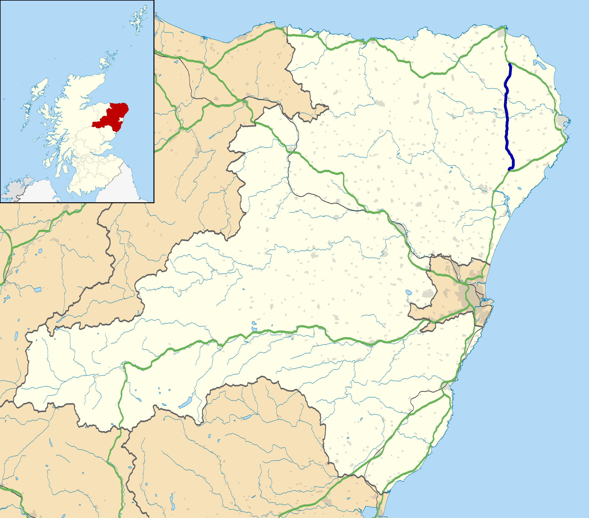
Kinknockie is located at Grid Ref: NK0041 (Lat: 57.462893, Lng: -1.990896)

Unitary Authority: Aberdeenshire

Police Authority: North East

What 3 Words

///loose.political.global. Near Mintlaw, Aberdeenshire

Nearby Locations

Kinknockie

Related Wikis

Skelmuir Hill

Skelmuir Hill is a landform in Aberdeenshire, Scotland. This is the location of a trig point or official government survey marker. Skelmuir Hill is the...

Clola

Clola is a hamlet in Buchan, Aberdeenshire, Scotland. Clola is situated on the A952 road. There is considerable evidence of local habitation by early man...

A952 road

The A952 road is a main road in Aberdeenshire, Scotland. This roadway is a north–south connector that serves as an inland bypass to the more coastally...

Hill of Aldie

The Hill of Aldie is an elevated landform in the east of Aberdeenshire, Scotland. Nearby is the prehistoric monument Catto Long Barrow. == See also... ==

Nearby Amenities

Located within 500m of 57.462893,-1.990896
Power: pole
Lat/Long: 57.4587825/-1.9938177
Power: pole
Lat/Long: 57.4592087/-1.9944884
Power: pole
Lat/Long: 57.4596131/-1.9951231
Power: pole
Lat/Long: 57.4599642/-1.9956656
Power: pole
Lat/Long: 57.4603382/-1.9962665
Power: pole
Lat/Long: 57.4607135/-1.9968584
Power: pole
Lat/Long: 57.4612813/-1.9973739
Power: pole
Lat/Long: 57.4618685/-1.9979028
Material: wood
Power: pole
Lat/Long: 57.4624386/-1.9984205
Material: wood
Power: pole
Lat/Long: 57.4630306/-1.9989629
Power: pole
Lat/Long: 57.4595126/-1.993336
Power: pole
Lat/Long: 57.4598092/-1.9921657
Power: pole
Lat/Long: 57.4601179/-1.9909818
Power: pole
Lat/Long: 57.4604278/-1.9897844
Power: pole
Lat/Long: 57.4607353/-1.9885487
Power: pole
Lat/Long: 57.4618401/-1.9955562
Power: pole
Lat/Long: 57.4619988/-1.9948259
Power: pole
Lat/Long: 57.4621651/-1.994067
Power: pole
Lat/Long: 57.4623315/-1.9933282
Power: pole
Lat/Long: 57.4613303/-1.9961332
Power: pole
Lat/Long: 57.4644256/-1.9910201
Power: pole
Lat/Long: 57.4645198/-1.9899963
Power: pole
Lat/Long: 57.4646578/-1.9889959
Power: pole
Lat/Long: 57.4654803/-1.9876009
Power: pole
Lat/Long: 57.4656621/-1.9864035
Power: pole
Lat/Long: 57.4658384/-1.9852509
The data included in this document is from www.openstreetmap.org. The data is made available under ODbL.

Have you been to Kinknockie?

Leave your review of Kinknockie below (or comments, questions and feedback).