Kinkry Hill

Settlement in Cumberland Carlisle

England

Kinkry Hill

Windfall Check it out on my Flickr page.
<span class="nowrap"><a title="https://www.flickr.com/photos/jetjohn/32525258415/" rel="nofollow ugc noopener" href="https://www.flickr.com/photos/jetjohn/32525258415/">Link</a><img style="margin-left:2px;" alt="External link" title="External link - shift click to open in new window" src="https://s1.geograph.org.uk/img/external.png" width="10" height="10"/></span>

An apple tree taken near Roadhead in Cumbria.
Windfall Credit: James Johnstone

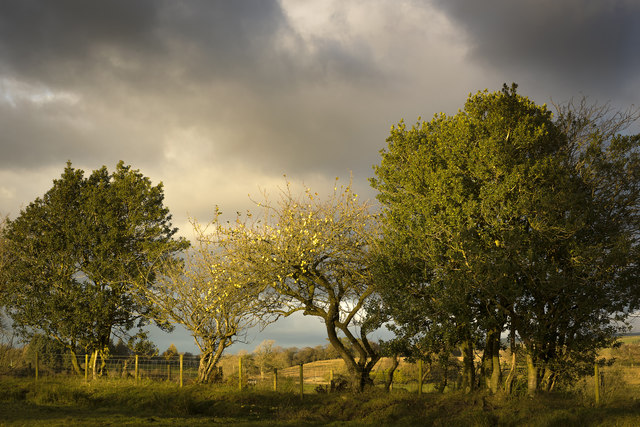
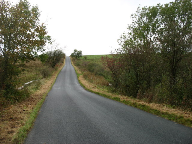
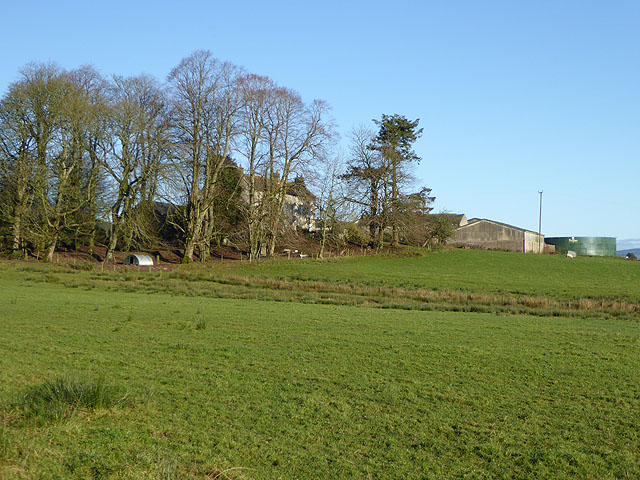
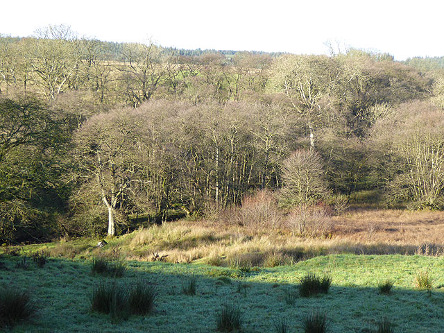
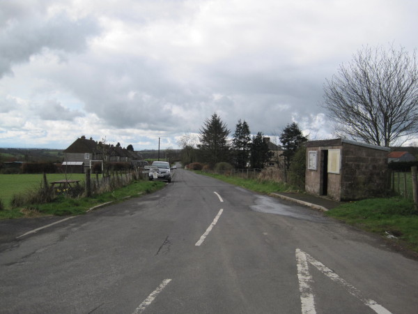
Kinkry Hill is a small village located in the picturesque region of Cumberland, England. Situated amidst the rolling hills and lush greenery, this charming settlement is known for its tranquil atmosphere and natural beauty. Nestled in the heart of the Lake District National Park, Kinkry Hill offers stunning views of the surrounding countryside and is a haven for outdoor enthusiasts.

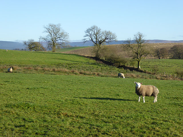
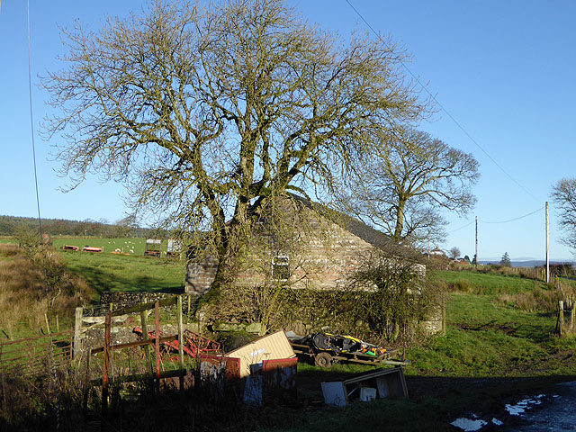
The village itself is a quaint and close-knit community, with a population of around 200 residents. Its traditional stone cottages and narrow lanes exude a sense of rustic charm, attracting visitors seeking a peaceful retreat from the bustling city life. The local economy primarily revolves around agriculture, with several farms dotting the landscape.

One of the main attractions in Kinkry Hill is its proximity to the famous Lake District, which is renowned for its breathtaking lakes, mountains, and endless hiking trails. Outdoor activities such as hiking, cycling, and fishing are popular among locals and tourists alike. The picturesque Ennerdale Water is just a short drive away, offering visitors the opportunity to explore its serene shores and surrounding woodlands.

Visitors to Kinkry Hill can also enjoy the warm hospitality of its cozy bed and breakfast establishments and indulge in traditional English cuisine at the village's charming pubs and restaurants. The annual village fete, held during the summer months, showcases local talent, arts, and crafts, providing an opportunity for the community to come together and celebrate.

In summary, Kinkry Hill is a peaceful and idyllic village, offering visitors a chance to immerse themselves in the natural beauty of Cumberland and experience the warmth and charm of rural English life.

If you have any feedback on the listing, please let us know in the comments section below.
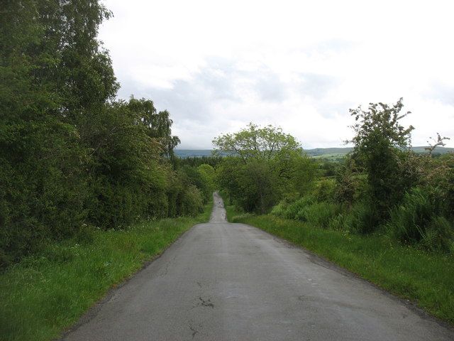
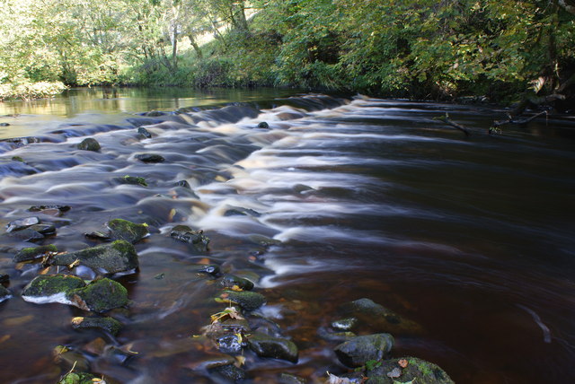
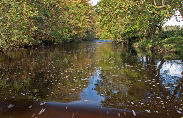
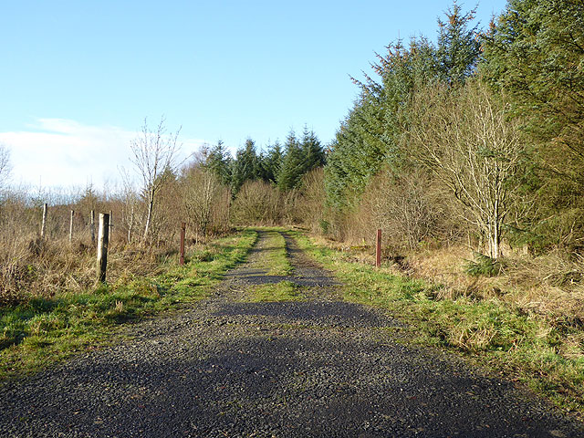
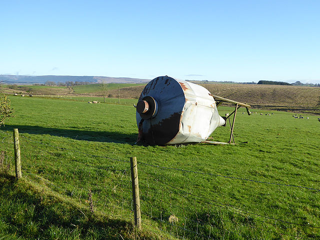
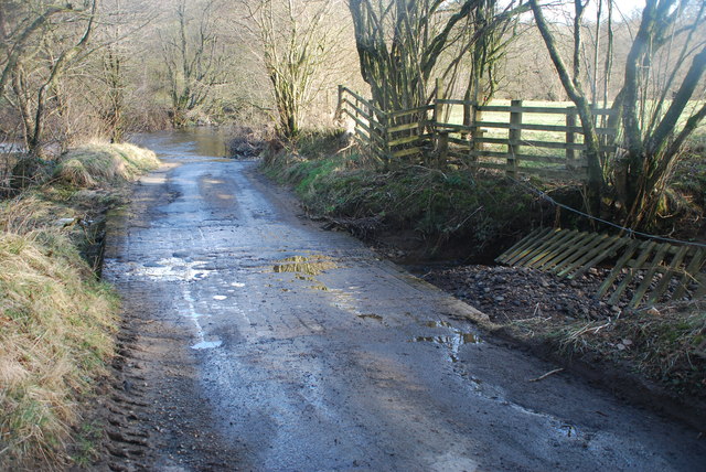
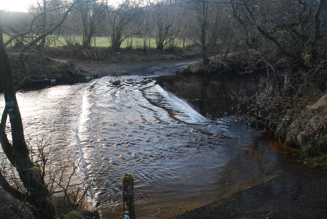
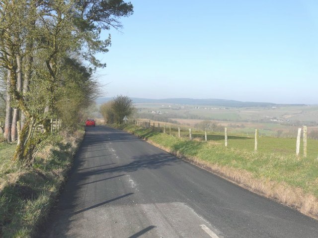
Kinkry Hill Images

Images are sourced within 2km of 55.06935/-2.762594 or Grid Reference NY5175. Thanks to Geograph Open Source API. All images are credited.

Windfall Check it out on my Flickr page.
<span class="nowrap"><a title="https://www.flickr.com/photos/jetjohn/32525258415/" rel="nofollow ugc noopener" href="https://www.flickr.com/photos/jetjohn/32525258415/">Link</a><img style="margin-left:2px;" alt="External link" title="External link - shift click to open in new window" src="https://s1.geograph.org.uk/img/external.png" width="10" height="10"/></span>

An apple tree taken near Roadhead in Cumbria.
Windfall
Check it out on my Flickr page. LinkExternal link An apple tree taken near Roadhead in Cumbria.
The B6318 nearing Roadhead
Old Direction Sign - Signpost by the B6318, Roadhead Annulus finial - 3 arms; Cumberland named halo by the B6318, in parish of Bewcastle (Carlisle District), T-junction at Roadhead, on grass verge, against hedge.

To be surveyed

Milestone Society National ID: CU_NY5174
Old Direction Sign - Signpost by the B6318, Roadhead
Annulus finial - 3 arms; Cumberland named halo by the B6318, in parish of Bewcastle (Carlisle District), T-junction at Roadhead, on grass verge, against hedge. To be surveyed Milestone Society National ID: CU_NY5174
Old AA Sign on the B6318 in Roadhead Old AA Sign located on the corrugated gable end of an old garage on the southeast side of the B6318 in Roadhead, 14 miles northeast of Carlisle. Bewcastle parish.

This is the Circular, village name on black band, no Motor Union symbol or name type, dating from 1923, showing distances Newcastleton 9 Lyneholme Ford 2 London 306½. Last visible on Street View in 2010.

There were five series of AA signs, mostly dating from 1923 and made by Francis & Co / Franco in Deptford, London. The village name and distance to London were displayed.

Milestone Society National ID: CB-ROADH
Old AA Sign on the B6318 in Roadhead
Old AA Sign located on the corrugated gable end of an old garage on the southeast side of the B6318 in Roadhead, 14 miles northeast of Carlisle. Bewcastle parish. This is the Circular, village name on black band, no Motor Union symbol or name type, dating from 1923, showing distances Newcastleton 9 Lyneholme Ford 2 London 306½. Last visible on Street View in 2010. There were five series of AA signs, mostly dating from 1923 and made by Francis & Co / Franco in Deptford, London. The village name and distance to London were displayed. Milestone Society National ID: CB-ROADH
The lane to Bewcastle
Black Lyne at Wickerthwaite
The footbridge Hidden in the trees is the footbridge over the river Lyne
The footbridge
Hidden in the trees is the footbridge over the river Lyne
Track on the edge of Kershope Forest
Sleetbeck Farm With its shelter belt of trees.
Sleetbeck Farm
With its shelter belt of trees.
Sheep at Sleetbeck Farm The Bewcastle Fells can be seen on the skyline.
Sheep at Sleetbeck Farm
The Bewcastle Fells can be seen on the skyline.
New bungalow at Sleetbeck Farm This bungalow has obviously been recently completed, but is not yet ready for occupation.
New bungalow at Sleetbeck Farm
This bungalow has obviously been recently completed, but is not yet ready for occupation.
Wooded valley of the Sleet Beck Below Sleetbeck Farm.
Wooded valley of the Sleet Beck
Below Sleetbeck Farm.
Old feed hopper at Sleetbeck Farm
Minor Ford at Dodgsontown This is the smaller of the two fords at Dodgsontown.

<span class="nowrap"><a title="https://youtu.be/ceW_WasnpAA" rel="nofollow ugc noopener" href="https://youtu.be/ceW_WasnpAA">Link</a><img style="margin-left:2px;" alt="External link" title="External link - shift click to open in new window" src="https://s1.geograph.org.uk/img/external.png" width="10" height="10"/></span>
Minor Ford at Dodgsontown
This is the smaller of the two fords at Dodgsontown. LinkExternal link
Ford at Dodgsontown This ford on the Black Lyne is found at Dodgsontown.
<span class="nowrap"><a title="https://youtu.be/1iao3DCvKJ4" rel="nofollow ugc noopener" href="https://youtu.be/1iao3DCvKJ4">Link</a><img style="margin-left:2px;" alt="External link" title="External link - shift click to open in new window" src="https://s1.geograph.org.uk/img/external.png" width="10" height="10"/></span>
Ford at Dodgsontown
This ford on the Black Lyne is found at Dodgsontown. LinkExternal link
Westerly view from B6318 In the far distance there is the line of houses along Sleetback Road
Westerly view from B6318
In the far distance there is the line of houses along Sleetback Road
Road leading to Sleetbeck Road and Bus Shelter
Old Road Signpost, Crossroads, Sleetbeck Road
Show me another place!

Kinkry Hill is located at Grid Ref: NY5175 (Lat: 55.06935, Lng: -2.762594)

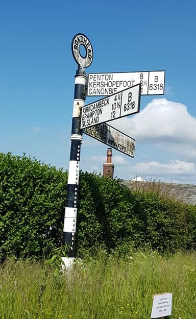
Administrative County: Cumbria

District: Carlisle

Police Authority: Cumbria

What 3 Words

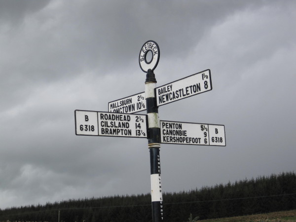
///deflation.sneezed.migrants. Near Brampton, Cumbria

Nearby Locations

North Meadow Kinkry Hill

Related Wikis

Blackpool Gate

Blackpool Gate is a settlement in the civil parish of Bewcastle, which is in the district of the City of Carlisle in the county of Cumbria, England. It...

Stapleton, Cumbria

Stapleton is a village and civil parish in the City of Carlisle district, in the county of Cumbria, in the North West of England. It falls under the jurisdiction...

Alston Formation

The Alston Formation is a geologic formation in England. It preserves fossils dating back to the Viséan to Serpukhovian (Asbian, Brigantian and Pendleian...

Bewcastle Roman Fort

Bewcastle Roman Fort was built to the north of Hadrian's Wall as an outpost fort possibly intended for scouting and intelligence. The remains of the fort...

Nearby Amenities

Located within 500m of 55.06935,-2.762594
Kinkry Hill Bank
Naptan AtcoCode: 090033031697
Naptan Bearing: N
Naptan BusStopType: CUS
Naptan CommonName: Kinkry Hill Bank
Naptan Indicator: near
Naptan Landmark: guide post opp The Square
Naptan NaptanCode: cumamjma
Naptan Street: B6318
Naptan Verified: no
Source: naptan_import
Lat/Long: 55.0663756/-2.7577863
Telephone
Booth: KX100
Covered: booth
Source: survey
Lat/Long: 55.0682038/-2.7550039
Post Box
Post Box Type: wall
Ref: CA6 238
Royal Cypher: EIIR
Royal Cypher Wikidata: Q33102113
Lat/Long: 55.0671542/-2.7563414
Place: farm
Lat/Long: 55.0703131/-2.7695243
Power: pole
Lat/Long: 55.0663736/-2.7682225
Power: pole
Lat/Long: 55.0701862/-2.7702275
Power: pole
Lat/Long: 55.0709749/-2.7695041
Power: pole
Lat/Long: 55.0718705/-2.7686824
Power: pole
Lat/Long: 55.0724672/-2.7681458
Power: pole
Lat/Long: 55.0691136/-2.7677146
Power: pole
Lat/Long: 55.0686856/-2.7660665
Power: pole
Lat/Long: 55.068425/-2.7650436
Power: pole
Lat/Long: 55.0683798/-2.7629643
Power: pole
Lat/Long: 55.0683359/-2.7609616
Power: pole
Lat/Long: 55.0683153/-2.7597902
Power: pole
Lat/Long: 55.0680511/-2.7585827
Power: pole
Lat/Long: 55.0676487/-2.7567431
Power: pole
Lat/Long: 55.0674264/-2.7557441
Power: pole
Lat/Long: 55.0674127/-2.7581445
Power: pole
Lat/Long: 55.0667145/-2.757615
The data included in this document is from www.openstreetmap.org. The data is made available under ODbL.

Have you been to Kinkry Hill?

Leave your review of Kinkry Hill below (or comments, questions and feedback).