Kingweston
Settlement in Somerset South Somerset
England
Kingweston
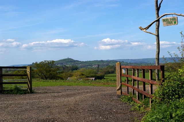
Kingweston is a small village located in the county of Somerset in England. It is situated about 10 miles northwest of the town of Castle Cary and approximately 15 miles south of the city of Bristol. The village is nestled in a picturesque countryside setting, surrounded by rolling hills and farmland.
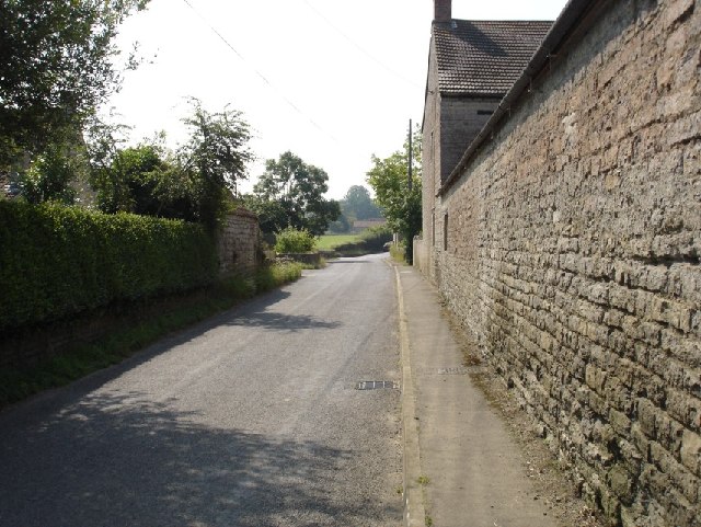
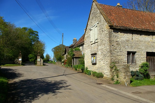
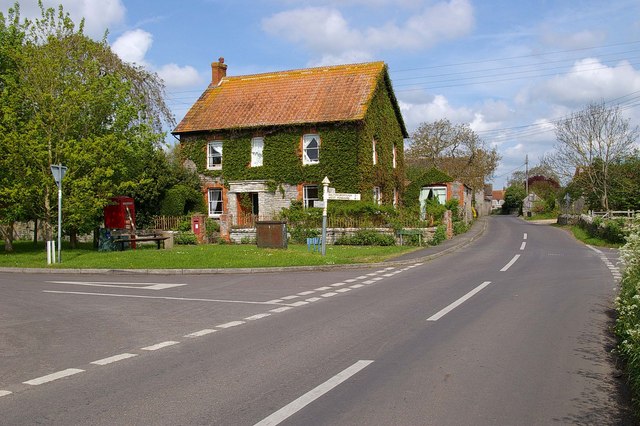
The history of Kingweston dates back to the Domesday Book of 1086, where it is mentioned as "Chinguestone." Over the centuries, it has remained a predominantly agricultural community, with farming being the primary industry in the area. The village itself exudes a sense of charm and tranquility, with its traditional stone cottages and well-maintained gardens.
One of the notable landmarks in Kingweston is St. Michael's Church, a beautiful Grade II listed building that dates back to the 14th century. The church features an impressive tower and a stunning stained glass window, making it a popular attraction for visitors and locals alike.
Despite its small size, Kingweston offers a close-knit community feel, with various community events and activities taking place throughout the year. The village has a village hall that hosts social gatherings, meetings, and other community events.
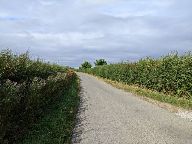
For those seeking outdoor pursuits, Kingweston benefits from its proximity to the Somerset countryside, providing ample opportunities for walking, hiking, and exploring the surrounding natural beauty.
In summary, Kingweston is a charming and historic village in Somerset, England, known for its rural beauty, agricultural heritage, and strong sense of community.
If you have any feedback on the listing, please let us know in the comments section below.
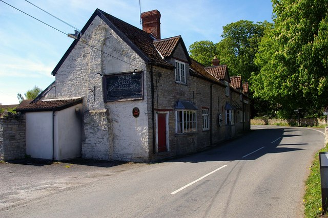
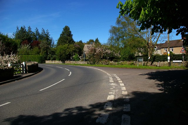
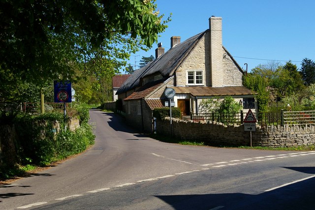
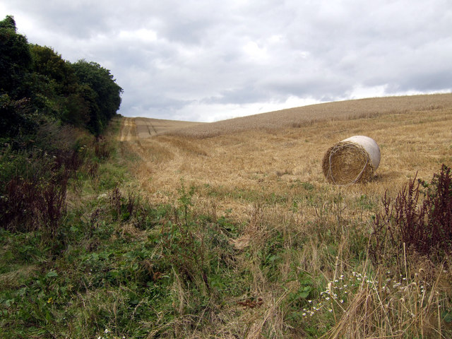
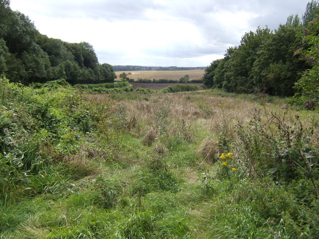
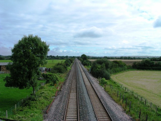
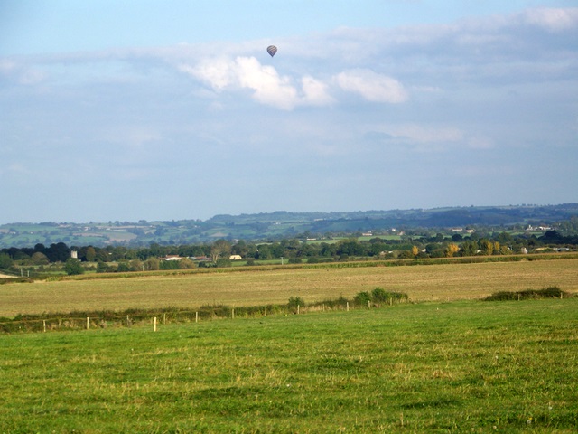
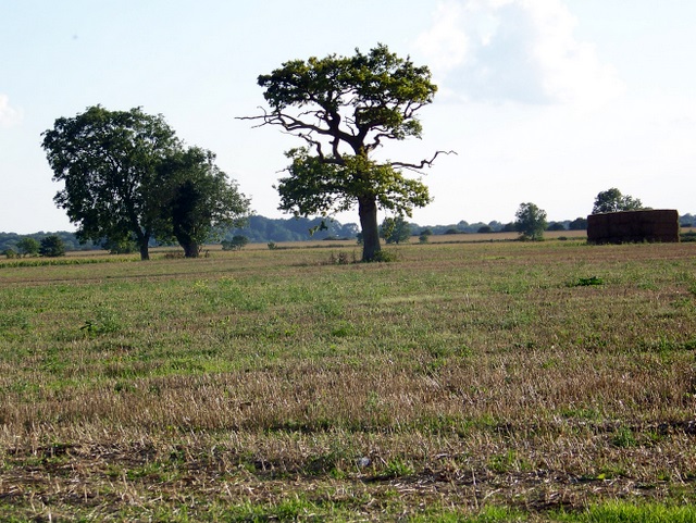
Kingweston Images
Images are sourced within 2km of 51.075761/-2.676047 or Grid Reference ST5230. Thanks to Geograph Open Source API. All images are credited.


Kingweston is located at Grid Ref: ST5230 (Lat: 51.075761, Lng: -2.676047)
Administrative County: Somerset
District: South Somerset
Police Authority: Avon and Somerset
What 3 Words
///flick.fairly.dislikes. Near Street, Somerset
Nearby Locations
Related Wikis

Kingweston
Kingweston is a village and civil parish in Somerset, England, situated on Combe Hill, 3 miles (4.8 km) north east of Somerton in the South Somerset district...
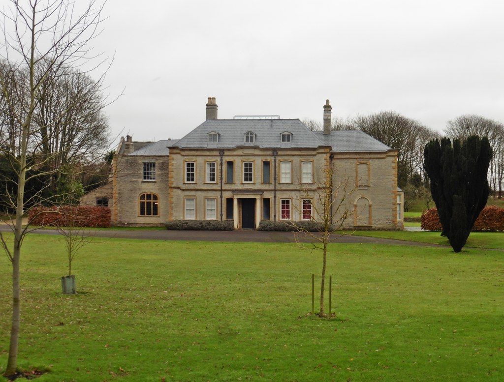
Church of All Saints, Kingweston
The Anglican Church of All Saints in Kingweston, Somerset, England was rebuilt between 1852 and 1855 by Charles Edmund Giles. It is a Grade II* listed...

Kingweston Meadows
Kingweston Meadows (grid reference ST540304) is an 11.5 hectare (28.4 acre) biological Site of Special Scientific Interest at Kingweston in Somerset, notified...

Church of St David, Barton St David
The Anglican Church of St David in Barton St David, Somerset, England, was built in the 12th to 15th centuries. It is a Grade II* listed building. ��2...

Barton St David
Barton St David or commonly referred to as Barton is a village and civil parish on the River Brue adjacent to Keinton Mandeville at the foot of Combe Hill...

Keinton Mandeville
Keinton Mandeville, commonly referred to as Keinton, is a village and civil parish in Somerset, England, situated on top of Combe Hill, 6 miles (9.7 km...
Charlton House, Charlton Mackrell
Charlton House is a Grade II* listed house in Charlton Mackrell, Somerset. == History == Charlton House was built in 1726, with later extensions. The property...

Hurcott Farm
Hurcott Farm (grid reference ST511295) is a 26.3 hectare geological Site of Special Scientific Interest in Somerset, notified in 1993. At this site heavily...
Related Videos

Admiral Hood Butleigh, Somerset - Drone Stock footage
A quick fly around the Hood Monument, using a DJI Air 2S. The Monument was designed in 1831 by the Bath architect Henry ...

Fairy Letters
A few years ago Prudence and her sister Hazel found a fairy tree in a nearby field when out walking with their Grandma.
Nearby Amenities
Located within 500m of 51.075761,-2.676047Have you been to Kingweston?
Leave your review of Kingweston below (or comments, questions and feedback).