Warrington Common

Downs, Moorland in Cheshire

England

Warrington Common

Island on Shakerley Mere A former sand quarry, now a small park. It can be noisy here due to the closeness of the M6 motorway, but the level path around the lake is very popular with visitors.
Island on Shakerley Mere Credit: David Kitching

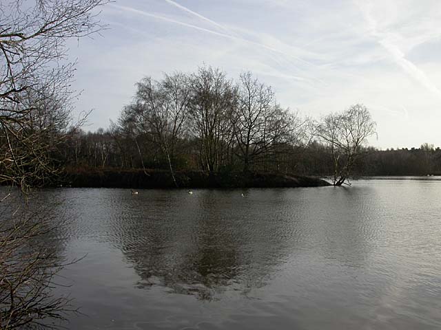
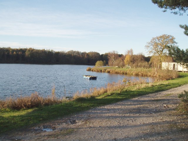
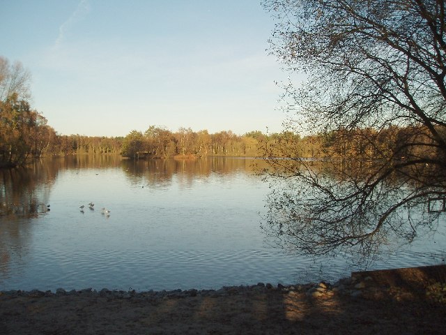
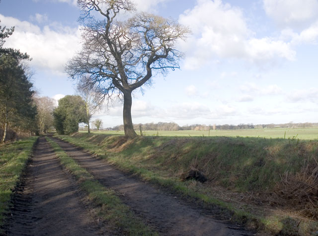
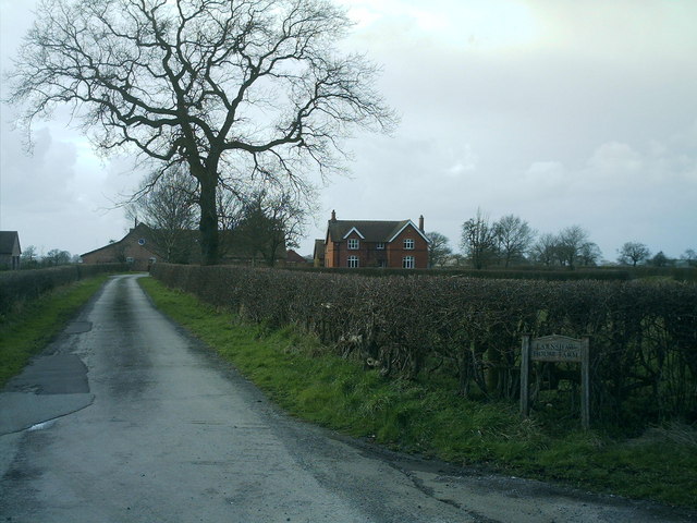
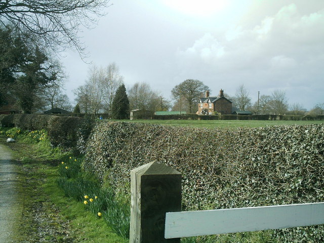
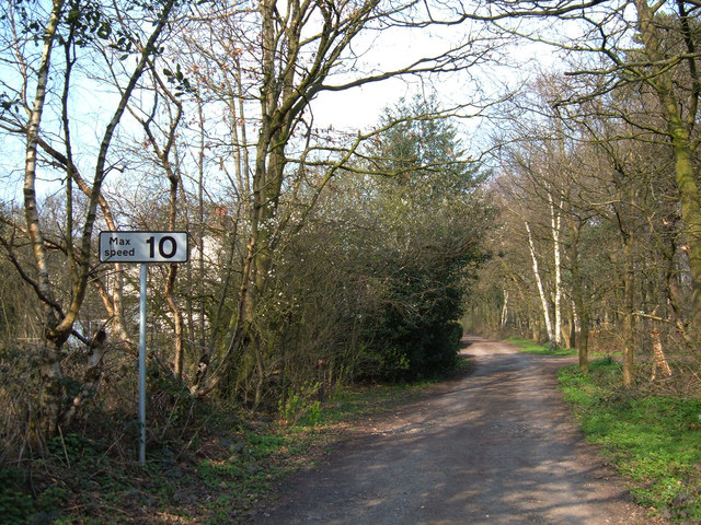
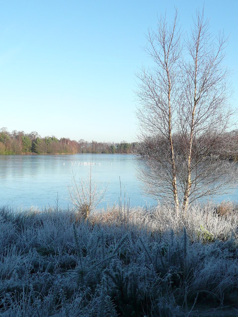
Warrington Common is a vast expanse of open land located in the county of Cheshire, England. Covering an area of approximately 900 acres, it is nestled between the towns of Warrington, Widnes, and Runcorn. The common is characterized by its diverse landscape, encompassing rolling downs and expansive moorland.

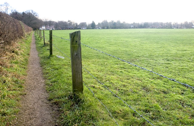
The downs of Warrington Common are a picturesque sight, with gently sloping hills covered in lush grass and scattered trees. This area provides opportunities for leisurely walks and picnics, as well as offering breathtaking views of the surrounding countryside. It is a popular spot for locals and visitors alike to escape the hustle and bustle of urban life and immerse themselves in nature.

The moorland section of Warrington Common is a wilder and more rugged landscape. Here, visitors can explore vast stretches of open heathland, dotted with gorse and heather. The moorland is home to a variety of wildlife, including birds such as curlews and lapwings, as well as small mammals like rabbits and voles.

Warrington Common is also of historical significance, with evidence of human activity dating back thousands of years. Archaeological finds suggest that the area was inhabited during the Bronze Age, and there are remnants of ancient settlements and burial mounds scattered throughout the common.

Overall, Warrington Common offers a tranquil and beautiful natural environment, perfect for those seeking a peaceful escape or an opportunity to connect with the rich history of the region.

If you have any feedback on the listing, please let us know in the comments section below.

Warrington Common Images

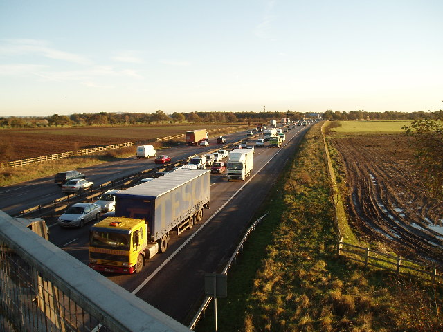
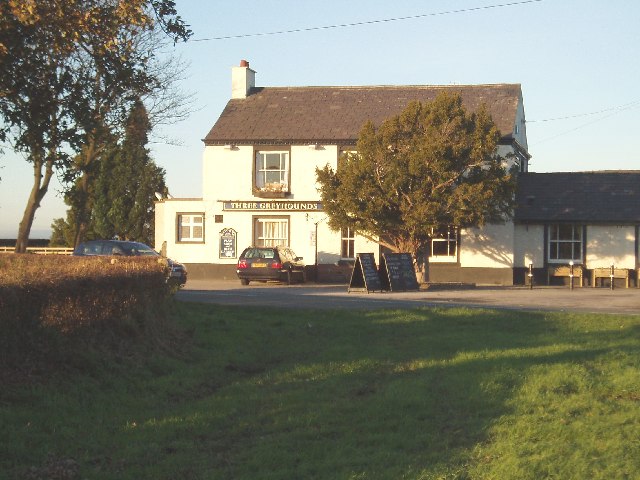
Images are sourced within 2km of 53.22385/-2.3877554 or Grid Reference SJ7469. Thanks to Geograph Open Source API. All images are credited.

Island on Shakerley Mere A former sand quarry, now a small park. It can be noisy here due to the closeness of the M6 motorway, but the level path around the lake is very popular with visitors.
Island on Shakerley Mere
A former sand quarry, now a small park. It can be noisy here due to the closeness of the M6 motorway, but the level path around the lake is very popular with visitors.
Boundary  Water Park On the A50 just south of Allostock . Once a popular windsurfing centre but now only used by anglers
Boundary Water Park
On the A50 just south of Allostock . Once a popular windsurfing centre but now only used by anglers
South End of Shakerley Mere Near to cross roads of B5082 & B5081 .
South End of Shakerley Mere
Near to cross roads of B5082 & B5081 .
M6 from King's Lane, looking north Always busy especially on Friday evening!! 
(Bridge in distance carries the B5081)
M6 from King's Lane, looking north
Always busy especially on Friday evening!! (Bridge in distance carries the B5081)
M6 from King's Lane looking south
The Three Greyhounds Public House Situated on the crossroads of the B5081 & B5082 (Difficult to tell which Grid square, on one map its SJ7271 & another SJ7270 !!)
The Three Greyhounds Public House
Situated on the crossroads of the B5081 & B5082 (Difficult to tell which Grid square, on one map its SJ7271 & another SJ7270 !!)
Hales Pasture Taken on the public footpath with a field known as Hales Pasture to the right of the image and to the left, out of view and surrounded by private woodlands, is a small lake.
Hales Pasture
Taken on the public footpath with a field known as Hales Pasture to the right of the image and to the left, out of view and surrounded by private woodlands, is a small lake.
Footpath towards Goostrey Taken from Brick Back Lane. A local told me, as I was taking this picture, that there used to be a brick kiln nearby which was used to make the bricks which built the houses in the area, including an 18th century cottage out of view but just behind where the image was taken.
Footpath towards Goostrey
Taken from Brick Back Lane. A local told me, as I was taking this picture, that there used to be a brick kiln nearby which was used to make the bricks which built the houses in the area, including an 18th century cottage out of view but just behind where the image was taken.
Earnshaw House Farm, off the B5081 Byley Lane, nr Puddinglake. Earnshaw house farm taken from bottom of drive on Byley Lane, this farm is on the road between Lach Dennis & Middlewich , close to Shakerley Mere.
Earnshaw House Farm, off the B5081 Byley Lane, nr Puddinglake.
Earnshaw house farm taken from bottom of drive on Byley Lane, this farm is on the road between Lach Dennis & Middlewich , close to Shakerley Mere.
Stublach House, off  Byley  Lane , nr Shakerley Mere. Photo of Stublach House, the local area around this house is largely farmland, it is close to Shakerley Mere, a large lake next to the M6.
Stublach House, off Byley Lane , nr Shakerley Mere.
Photo of Stublach House, the local area around this house is largely farmland, it is close to Shakerley Mere, a large lake next to the M6.
B5081 Byley Lane, nr Shakerley Mere Photo of Byley Lane junction of King's lane, nr Shakerley Mere. The camera is pointed towards Byley & Middlewich, King's lane is the left turn, Stublach House, Stublach Farm and Earnshaw Farm are a short way down the lane on the right of the photo.
B5081 Byley Lane, nr Shakerley Mere
Photo of Byley Lane junction of King's lane, nr Shakerley Mere. The camera is pointed towards Byley & Middlewich, King's lane is the left turn, Stublach House, Stublach Farm and Earnshaw Farm are a short way down the lane on the right of the photo.
Telephone Box and Garden Centre, Allostock Cheshire The telephone box in the village of Allostock appears to be a major feature on the O.S. map, whilst in reality, the garden centre catches the eye of the passing motorist.
Telephone Box and Garden Centre, Allostock Cheshire
The telephone box in the village of Allostock appears to be a major feature on the O.S. map, whilst in reality, the garden centre catches the eye of the passing motorist.
Byway across Warrington Common This short section of byway (about 300 metres in length) links King's Lane with Northwich Road to the south of Rudheath Woods.
Byway across Warrington Common
This short section of byway (about 300 metres in length) links King's Lane with Northwich Road to the south of Rudheath Woods.
Long winter shadows on Shakerley Mere VERY close to the thundering traffic of the M6 - but it doesn't deter the birds, the anglers or the strollers.
Long winter shadows on Shakerley Mere
VERY close to the thundering traffic of the M6 - but it doesn't deter the birds, the anglers or the strollers.
The thaw sets in at Shakerley Mere After a cold snap, the birds were glad to see the sunshine. Some of them appear to be walking on water.
The thaw sets in at Shakerley Mere
After a cold snap, the birds were glad to see the sunshine. Some of them appear to be walking on water.
Fungus, Shakerley Mere, Cheshire The most iconic and distinctive of British fungi, fly agaric, with its red cap and white spots is much favoured by illustrators of fairy tales. The species, is renowned for its toxicity and hallucinogenic properties.
Fungus, Shakerley Mere, Cheshire
The most iconic and distinctive of British fungi, fly agaric, with its red cap and white spots is much favoured by illustrators of fairy tales. The species, is renowned for its toxicity and hallucinogenic properties.
Welcome to Hills A friendly local garden centre with lots of distractions for the younger members of the family.
Welcome to Hills
A friendly local garden centre with lots of distractions for the younger members of the family.
Lake at New Platt Farm This is the lake in the centre of the grid square which was once a sand quarry.
Lake at New Platt Farm
This is the lake in the centre of the grid square which was once a sand quarry.
Show me another place!

Warrington Common is located at Grid Ref: SJ7469 (Lat: 53.22385, Lng: -2.3877554)

Unitary Authority: Cheshire East

Police Authority: Cheshire

What 3 Words

///sketch.scales.intersect. Near Holmes Chapel, Cheshire

Nearby Locations

Warrington Common

Related Wikis

RAF Cranage

Royal Air Force Cranage or more simply RAF Cranage is a former Royal Air Force Satellite station operated during the Second World War. It was located just...

Allostock

Allostock is a village and civil parish in the unitary authority of Cheshire West and Chester and the ceremonial county of Cheshire, England, about five...

Cranage

Cranage is a village and civil parish in the unitary authority of Cheshire East and the ceremonial county of Cheshire, England. According to the 2001 Official...

Cranage Hall

Cranage Hall is a former country house in the village of Cranage, Cheshire, England. It was built in 1828–29 for Lawrence Armitstead, and designed by...

Nearby Amenities

Located within 500m of 53.22385,-2.3877554
Noexit: yes
Lat/Long: 53.222/-2.3921715
Cafe
Spinney
Addr Postcode: CW4 8HJ
Addr Street: Knutsford Road
Fhrs Id: 891759
Source Addr: FHRS Open Data
Lat/Long: 53.2238156/-2.381912
Post Box
Collection Times: Mo-Fr 16:45; Sa 09:00
Ref: CW4 136
Royal Cypher: EIIR
Royal Cypher Wikidata: Q33102113
Lat/Long: 53.2276553/-2.3855493
Board Type: notice
Information: board
Tourism: information
Lat/Long: 53.2276879/-2.3856011
The data included in this document is from www.openstreetmap.org. The data is made available under ODbL.

Have you been to Warrington Common?

Leave your review of Warrington Common below (or comments, questions and feedback).