Browsholme Moor
Downs, Moorland in Yorkshire Ribble Valley
England
Browsholme Moor

Browsholme Moor, located in Yorkshire, England, is a picturesque area renowned for its stunning natural beauty and diverse ecosystems. Situated in the heart of the Yorkshire Downs, this moorland landscape is a popular destination for outdoor enthusiasts and nature lovers alike.
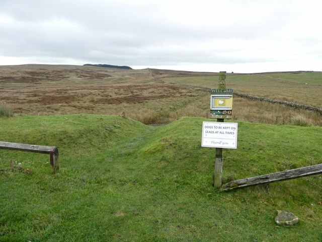
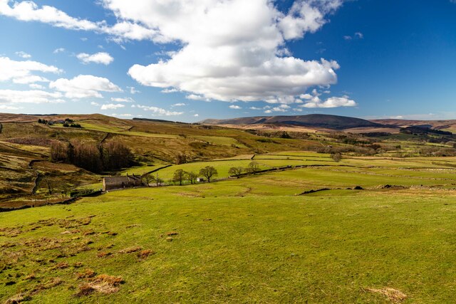
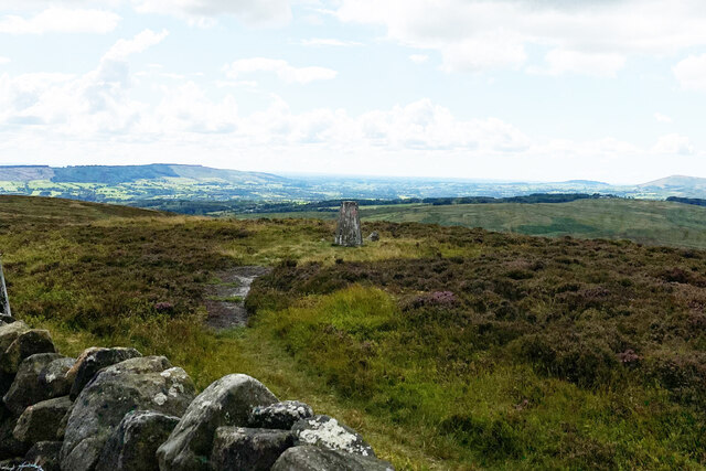
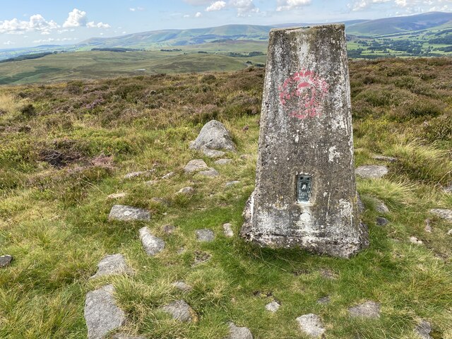
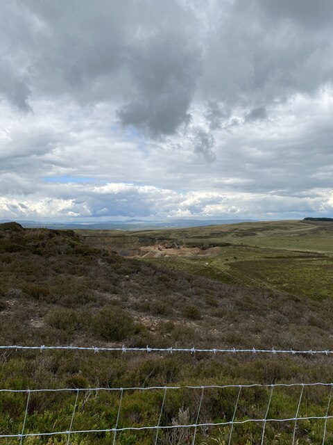
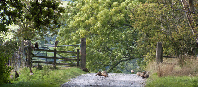
Spanning over a vast expanse of rolling hills and open spaces, Browsholme Moor offers breathtaking views of the surrounding countryside. The moorland itself is characterized by a unique combination of heather, grasses, and wildflowers, creating a vibrant and colorful tapestry that changes with the seasons. This diverse flora provides a habitat for a wide variety of wildlife, including birds, small mammals, and insects.
The Yorkshire Downs, of which Browsholme Moor is a part, are known for their rich cultural and historical significance. The area is dotted with ancient archaeological sites, including burial mounds and stone circles, which offer glimpses into the region's past.
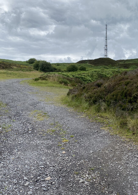
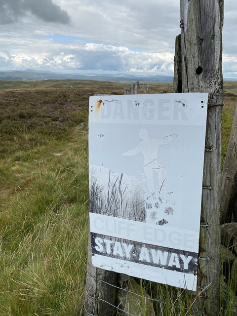
Visitors to Browsholme Moor can explore the area through a network of footpaths and trails, allowing them to immerse themselves in the natural surroundings. Hiking, birdwatching, and photography are popular activities, with the moorland providing ample opportunities for capturing the beauty of the landscape.
The tranquility and untouched nature of Browsholme Moor make it an ideal location for those seeking a peaceful escape from the hustle and bustle of everyday life. Whether it's a leisurely stroll or an intrepid adventure, this enchanting moorland offers something for everyone to enjoy.
If you have any feedback on the listing, please let us know in the comments section below.
Browsholme Moor Images
Images are sourced within 2km of 53.919416/-2.4513794 or Grid Reference SD7047. Thanks to Geograph Open Source API. All images are credited.


Browsholme Moor is located at Grid Ref: SD7047 (Lat: 53.919416, Lng: -2.4513794)
Division: West Riding
Administrative County: Lancashire
District: Ribble Valley
Police Authority: Lancashire
What 3 Words
///bibs.hounded.writings. Near Waddington, Lancashire
Nearby Locations
Related Wikis

Bowland Rural District
Bowland was a rural district in the West Riding of Yorkshire from 1894 to 1974. It was named after the Forest of Bowland, which it included. It was formed...

Bowland Forest Low
Bowland Forest Low is a civil parish in the Ribble Valley district of Lancashire, England, covering some 5,500 acres (22 km2) of the Forest of Bowland...

Browsholme Hall
Browsholme Hall is a privately owned Tudor house in the parish of Bowland Forest Low in the borough of Ribble Valley, Lancashire (although historically...

Easington Fell
Easington Fell is a Marilyn in the Forest of Bowland in Lancashire, England. It has been surveyed to be 70 cm higher than a nearby fell of almost identical...
Nearby Amenities
Located within 500m of 53.919416,-2.4513794Have you been to Browsholme Moor?
Leave your review of Browsholme Moor below (or comments, questions and feedback).