Waste Common

Downs, Moorland in Herefordshire

England

Waste Common

Abandoned church at Lower Sapey From the SW
Abandoned church at Lower Sapey Credit: mym

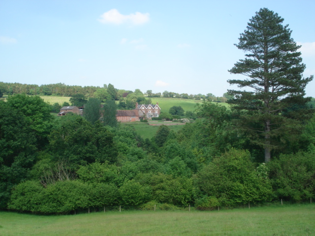
Waste Common is a vast expanse of open land located in Herefordshire, England. Situated amidst the scenic beauty of the county, this area is known for its stunning downs and moorland landscapes. Covering a significant area, Waste Common is a popular destination for nature enthusiasts, hikers, and those seeking solitude amidst nature.

The downs of Waste Common are characterized by their gently rolling hills, covered in lush green grass and scattered with wildflowers during the warmer months. These downs provide a picturesque backdrop for leisurely walks and picnics, offering breathtaking panoramic views of the surrounding countryside.

Adjacent to the downs, the moorland of Waste Common adds to its diverse natural charm. The moorland is characterized by its open, rugged terrain, covered in heather, gorse, and other hardy vegetation. This unique landscape is home to a variety of wildlife, including birds, small mammals, and reptiles, making it an ideal spot for birdwatchers and wildlife enthusiasts.

Waste Common is also known for its rich historical and cultural significance. The area is dotted with ancient burial grounds, prehistoric remains, and remnants of old settlements, giving visitors a glimpse into the region's past.

Access to Waste Common is convenient, with ample parking facilities and well-marked walking trails. The area is maintained and protected by local authorities to preserve its natural beauty and ecological importance.

Overall, Waste Common offers a serene and captivating experience for visitors, providing a perfect escape from the hustle and bustle of everyday life. Whether you seek tranquility, adventure, or an appreciation of nature's wonders, Waste Common is a destination that will not disappoint.

If you have any feedback on the listing, please let us know in the comments section below.
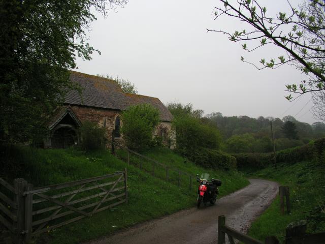
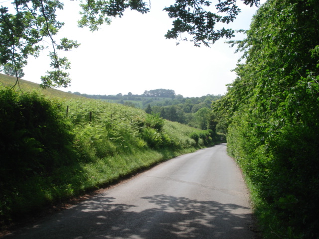
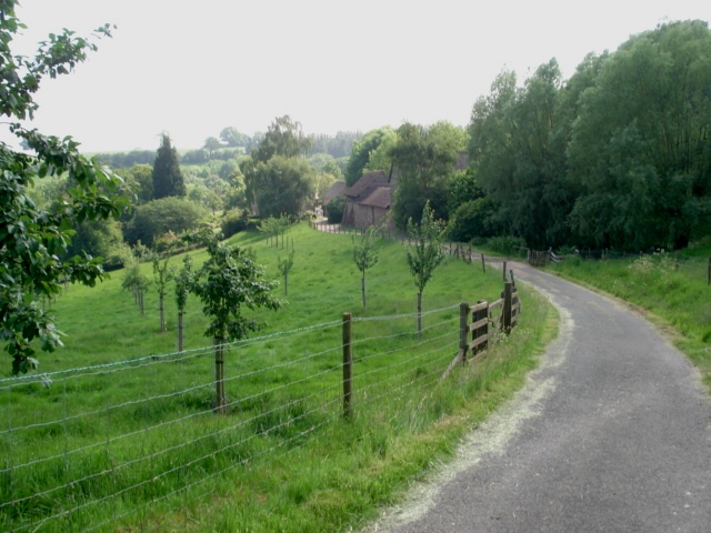
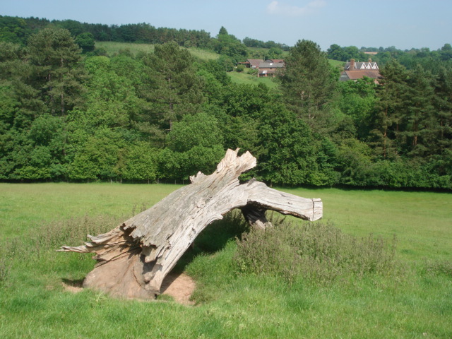
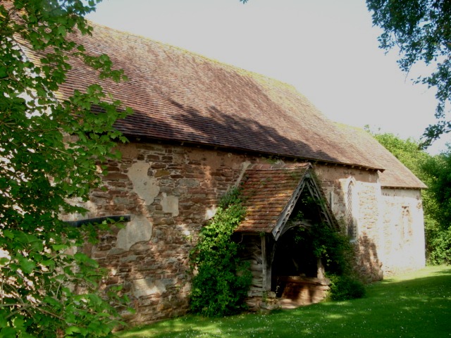
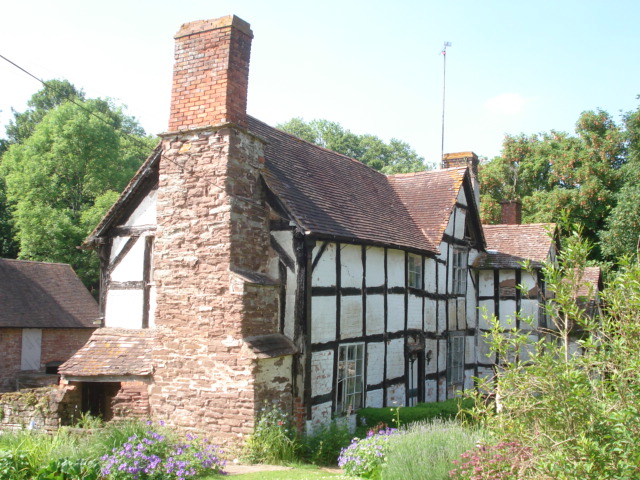
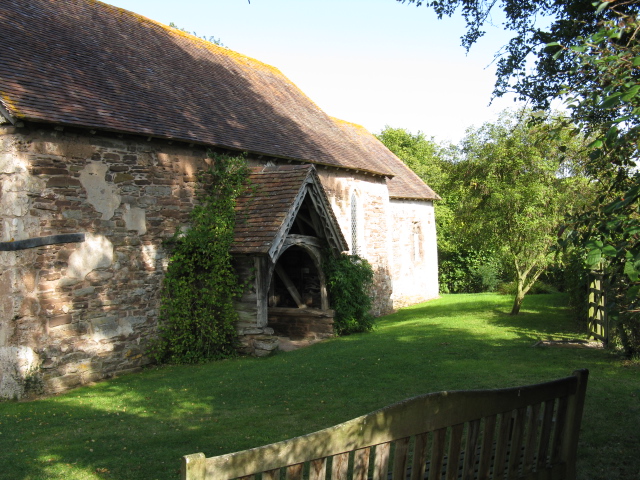
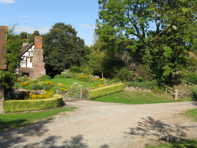
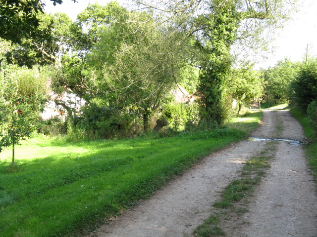
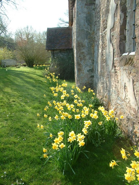
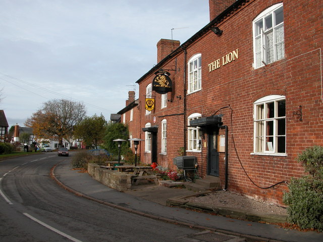
Waste Common Images

Images are sourced within 2km of 52.23617/-2.4336315 or Grid Reference SO7059. Thanks to Geograph Open Source API. All images are credited.

Abandoned church at Lower Sapey From the SW
Abandoned church at Lower Sapey
From the SW
The Harpley Road
The Harpley Road
Entrance lane to Hatt House Farm
Bleached tree on Hatt House Farm With Hope Farm on the other side of the valley.
Bleached tree on Hatt House Farm
With Hope Farm on the other side of the valley.
Hope Farm
Hope Farm
Interior of Old St Bartholomew's Church Altar end.
Interior of Old St Bartholomew's Church
Altar end.
Interior of Old St Bartholomew's Church Balcony end.
Interior of Old St Bartholomew's Church
Balcony end.
Porch of Old St Bartholomew's Church
Old St Bartholomew's Church at Lower Sapey The original Saxon church for Lower Sapey parish has an entry in the Domesday Book of 1086. In 1878 a new St Bartholomew's parish church was built, which is when this one became known as Old St Bartholomew's. Instructions were issued to demolish it, but these were never carried out and nobody from the Diocese noticed in this remote parish. The church was in disrepair until restored over 1989 to 1994, driven by the owners of the cottage next door. Now administered by the Churches Conservation Trust.
<span class="nowrap"><a title="http://www.british-history.ac.uk/report.aspx?compid=42903" rel="nofollow ugc noopener" href="http://www.british-history.ac.uk/report.aspx?compid=42903">Link</a><img style="margin-left:2px;" alt="External link" title="External link - shift click to open in new window" src="https://s1.geograph.org.uk/img/external.png" width="10" height="10"/></span>
Old St Bartholomew's Church at Lower Sapey
The original Saxon church for Lower Sapey parish has an entry in the Domesday Book of 1086. In 1878 a new St Bartholomew's parish church was built, which is when this one became known as Old St Bartholomew's. Instructions were issued to demolish it, but these were never carried out and nobody from the Diocese noticed in this remote parish. The church was in disrepair until restored over 1989 to 1994, driven by the owners of the cottage next door. Now administered by the Churches Conservation Trust. LinkExternal link
Cottage next to the church at Lower Sapey
The Old Church, Lower Sapey
Cottage Garden, Lower Sapey
Bridleway At Lower Sapey
Springtime - St Bartholomew's, Lower Sapey Hereford and Worcester have more than their share of conserved churches. St Bartholomew's is one of the best.
Springtime - St Bartholomew's, Lower Sapey
Hereford and Worcester have more than their share of conserved churches. St Bartholomew's is one of the best.
Daffodils at St. James's church (Tedstone Delamere) The churchyard at Tedstone Delamere parish church was nearly filled with daffodils on my visit, and a notable example of the display was in the southwest area.
Daffodils at St. James's church (Tedstone Delamere)
The churchyard at Tedstone Delamere parish church was nearly filled with daffodils on my visit, and a notable example of the display was in the southwest area.
Window inside St. James' church (Tedstone Delamere) This view shows the southeast window in the chancel by Lavers and Barraud, installed in memory of Mary Maria Wight (d. 17.09.1859). The interior of Tedstone Delamere parish church had a lovely floral display on my visit, and I discovered that the church recently went through restoration work between March 2020 to January 2024 (according to what I read in the visitors' book).
Window inside St. James' church (Tedstone Delamere)
This view shows the southeast window in the chancel by Lavers and Barraud, installed in memory of Mary Maria Wight (d. 17.09.1859). The interior of Tedstone Delamere parish church had a lovely floral display on my visit, and I discovered that the church recently went through restoration work between March 2020 to January 2024 (according to what I read in the visitors' book).
Stone at St. James's church (Tedstone Delamere) This stone is in the east wall of Tedstone Delamere parish church, which records the year George Gilbert Scott restored the chancel (1856).
Stone at St. James's church (Tedstone Delamere)
This stone is in the east wall of Tedstone Delamere parish church, which records the year George Gilbert Scott restored the chancel (1856).
Walled garden at Tedstone Court This walled garden is opposite Tedstone Court in Tedstone Delamere. The doors were open on my visit because I saw workmen in the garden repairing the stone wall west of Tedstone Court.
Walled garden at Tedstone Court
This walled garden is opposite Tedstone Court in Tedstone Delamere. The doors were open on my visit because I saw workmen in the garden repairing the stone wall west of Tedstone Court.
Show me another place!

Waste Common is located at Grid Ref: SO7059 (Lat: 52.23617, Lng: -2.4336315)

Unitary Authority: County of Herefordshire

Police Authority: West Mercia

What 3 Words

///presides.backup.distracts. Near Collington, Herefordshire

Related Wikis

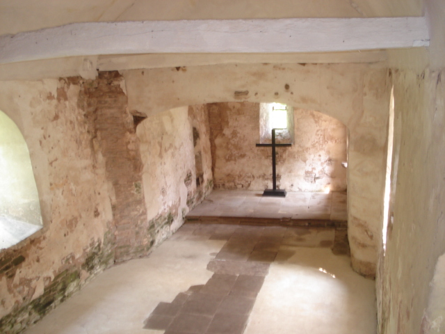
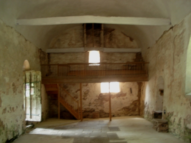
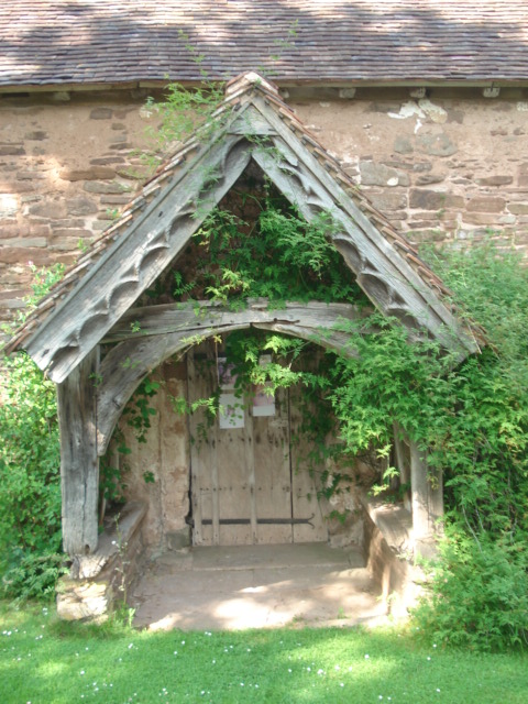
Old St Bartholomew's Church, Lower Sapey

Old St Bartholomew's Church is a redundant Anglican church near the village of Lower Sapey, Worcestershire, England. It is recorded in the National Heritage...

Tedstone Delamere

Tedstone Delamere is a village and civil parish in Herefordshire, England, 3.5 miles (6 km) north-east of Bromyard. The population of the parish at the...

Clifton upon Teme

Clifton upon Teme is a village and civil parish in the Malvern Hills District in the county of Worcestershire, England. == Amenities == Named after the...

Lower Sapey

Lower Sapey is a village and civil parish in the Malvern Hills District in the county of Worcestershire, England. Sapey Pritchard was in the upper division...

Nearby Amenities

Located within 500m of 52.23617,-2.4336315
Power: pole
Lat/Long: 52.2343221/-2.439504
Winley Farm
Power: pole
Transformer: distribution
Voltage Primary: 11000
Lat/Long: 52.2347049/-2.4381307
Power: pole
Lat/Long: 52.2344897/-2.4379416
Power: pole
Lat/Long: 52.2345751/-2.437145
Power: pole
Lat/Long: 52.2346909/-2.4360587
Power: pole
Lat/Long: 52.2341012/-2.4342294
Power: pole
Lat/Long: 52.23444/-2.4345969
Power: pole
Lat/Long: 52.2337595/-2.4338499
Power: pole
Lat/Long: 52.2330359/-2.4331042
Power: pole
Lat/Long: 52.2325891/-2.4326348
Sunnyside T. Delamere
Power: pole
Transformer: distribution
Voltage Primary: 11000
Lat/Long: 52.2321644/-2.4321359
The data included in this document is from www.openstreetmap.org. The data is made available under ODbL.

Have you been to Waste Common?

Leave your review of Waste Common below (or comments, questions and feedback).