Burndivot Common
Downs, Moorland in Northumberland
England
Burndivot Common
Burndivot Common is a vast expanse of land located in Northumberland, England. Stretching across the northern part of the county, it encompasses a diverse range of landscapes, including downs and moorland. The common is situated in an area of outstanding natural beauty, attracting visitors from near and far.
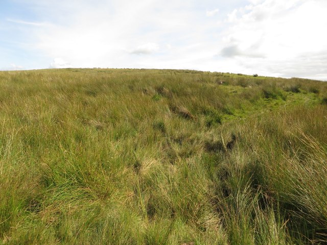
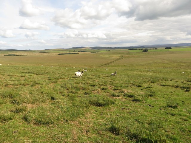
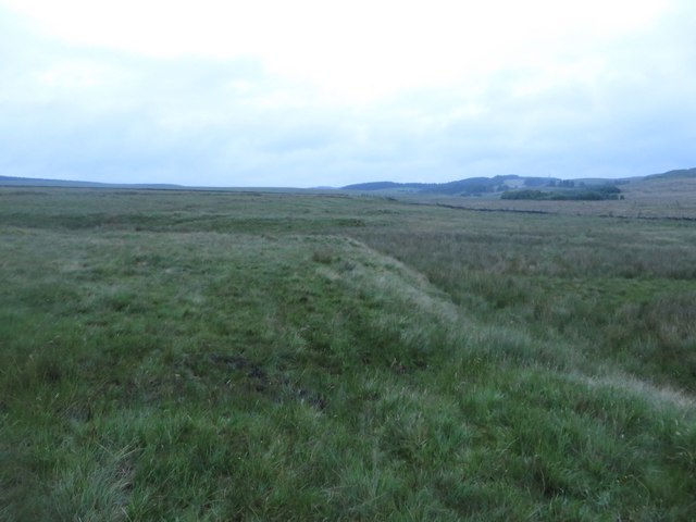
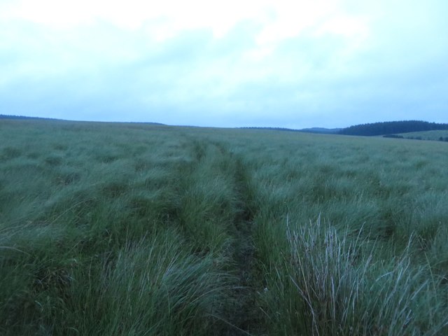
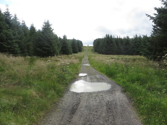
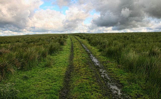
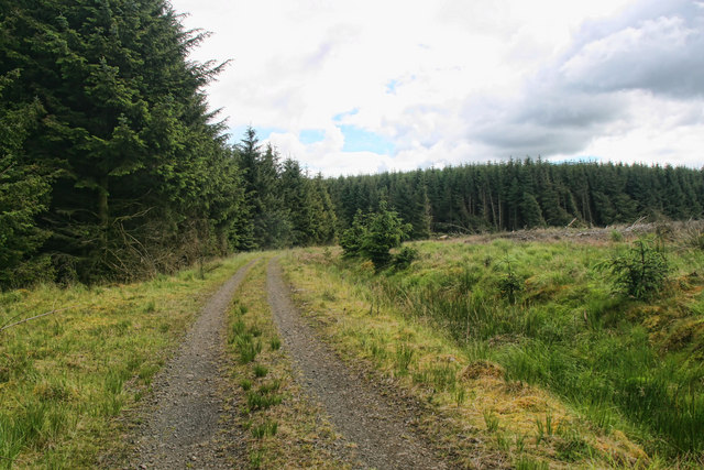
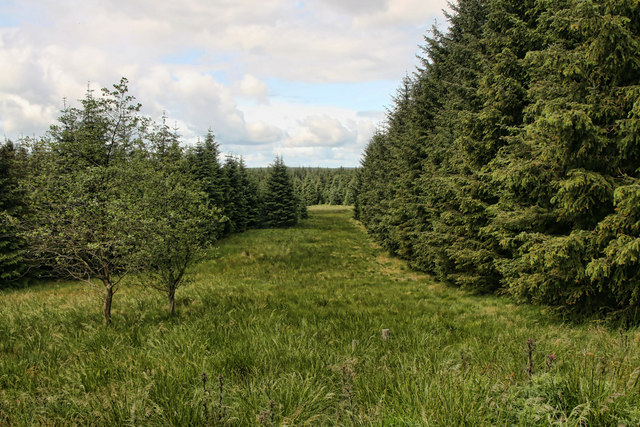
The downs of Burndivot Common are characterized by their gently rolling hills and grassy slopes. These open spaces provide stunning panoramic views of the surrounding countryside, making it a popular spot for hikers and nature enthusiasts. The rich diversity of flora and fauna found on the downs adds to its appeal, with wildflowers, heather, and various species of birds and mammals calling this area home.
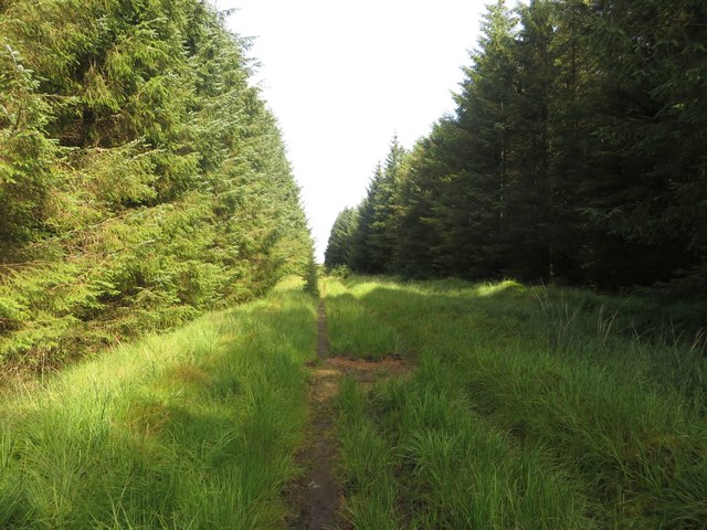
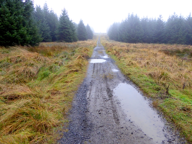
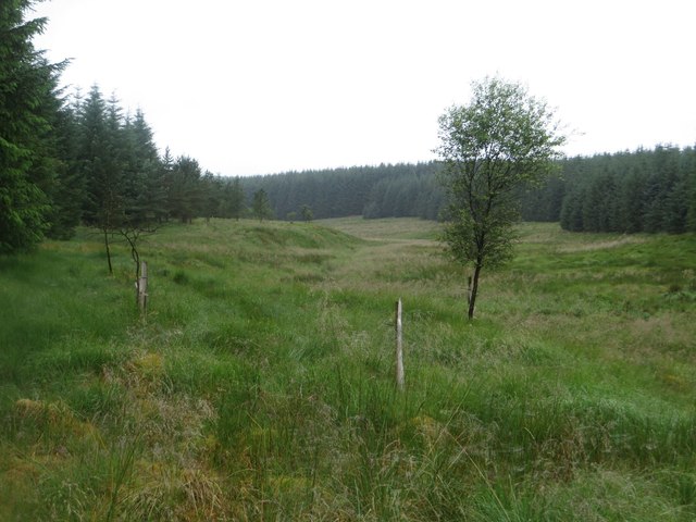
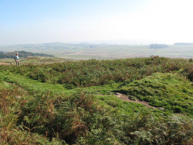
Moving towards the moorland section of Burndivot Common, the landscape becomes more rugged and wild. Here, visitors can explore vast expanses of heather-covered hillsides, interspersed with rocky outcrops and peat bogs. The moorland is home to a range of wildlife, including red grouse, curlews, and the occasional glimpse of a majestic red deer.
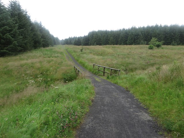
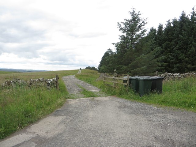
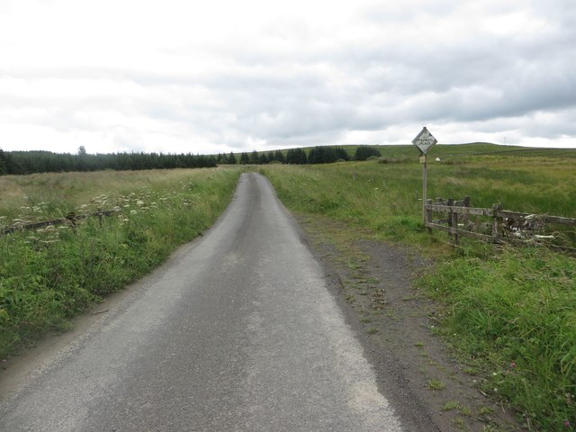
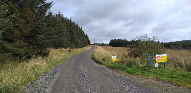
Burndivot Common also boasts several walking trails and paths, allowing visitors to explore its natural beauty at their own pace. The common is well-maintained, with designated parking areas and picnic spots scattered throughout. Additionally, there are information boards providing insights into the local history and wildlife, enhancing the visitor experience.
Overall, Burndivot Common offers a wonderful opportunity to immerse oneself in the unspoiled beauty of Northumberland. Its downs and moorland provide a captivating backdrop for outdoor activities and a chance to connect with nature in a tranquil and picturesque setting.
If you have any feedback on the listing, please let us know in the comments section below.
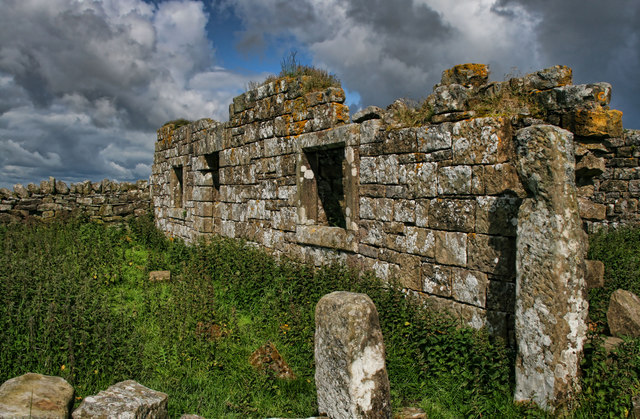
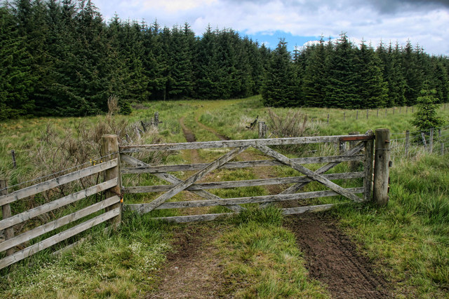
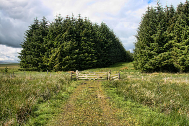
Burndivot Common Images
Images are sourced within 2km of 55.033314/-2.4630692 or Grid Reference NY7071. Thanks to Geograph Open Source API. All images are credited.
Burndivot Common is located at Grid Ref: NY7071 (Lat: 55.033314, Lng: -2.4630692)
Unitary Authority: Northumberland
Police Authority: Northumbria
What 3 Words
///tenure.pimples.composes. Near Haltwhistle, Northumberland
Nearby Locations
Related Wikis

Milecastle 43
Milecastle 43 (Great Chesters) was a milecastle on Hadrian's Wall (grid reference NY70356684). It was obliterated when the fort at Great Chesters (Aesica...
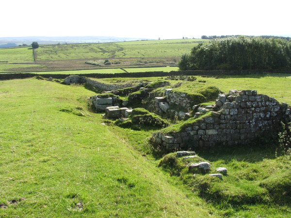
Aesica
Aesica (modern name Great Chesters) was a Roman fort, one and a half miles north of the small town of Haltwhistle in Northumberland, (not be confused with...

Northumbria
Northumbria (; Old English: Norþanhymbra rīċe [ˈnorˠðɑnˌhymbrɑ ˈriːt͡ʃe]; Latin: Regnum Northanhymbrorum) was an early medieval Anglo-Saxon kingdom in...
Milecastle 44
Milecastle 44 (Allolee) was a milecastle on Hadrian's Wall (grid reference NY68886694). == Description == Milecastle 44 is located about 1.5 kilometres...
Nearby Amenities
Located within 500m of 55.033314,-2.4630692Have you been to Burndivot Common?
Leave your review of Burndivot Common below (or comments, questions and feedback).