Cadishead Moss
Downs, Moorland in Lancashire
England
Cadishead Moss

Cadishead Moss is a nature reserve located in Lancashire, England. Covering an area of approximately 100 hectares, it is characterized by its diverse ecosystems, including downs, moorland, and wetland habitats. The site is managed by the Lancashire Wildlife Trust, which aims to protect and enhance the local flora and fauna.
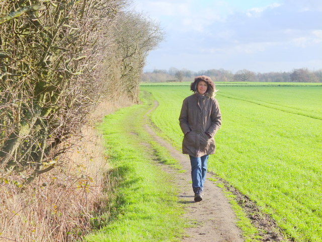
The downs at Cadishead Moss are covered in a variety of grasses and wildflowers, providing a rich feeding ground for many species of insects and birds. The moorland area features heather and gorse, creating a colorful and vibrant landscape. This habitat is particularly attractive to birds such as skylarks and stonechats.
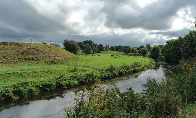
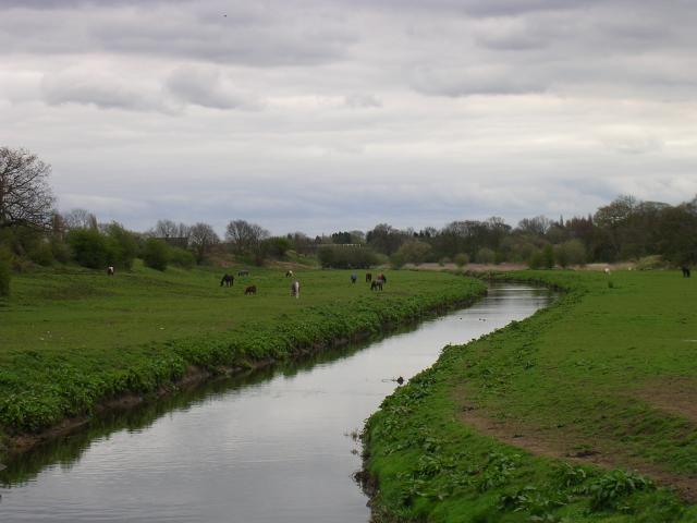
The wetland areas of Cadishead Moss are home to a range of plant and animal species that thrive in the damp conditions. Here, visitors can find reed beds, ponds, and marshy areas, which support a variety of aquatic plants and creatures. Dragonflies, water voles, and various species of water birds can often be spotted in these wetland habitats.
Cadishead Moss offers a peaceful and tranquil environment for visitors to enjoy a walk or observe the local wildlife. There are well-maintained footpaths and boardwalks throughout the reserve, allowing visitors to explore the different habitats and observe the diverse range of species that call Cadishead Moss their home.
Overall, Cadishead Moss is a valuable natural resource in Lancashire, providing important habitats for a wide range of plant and animal species. Its downs, moorland, and wetland habitats make it a diverse and attractive destination for nature enthusiasts and those seeking a peaceful retreat in the countryside.
If you have any feedback on the listing, please let us know in the comments section below.
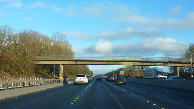
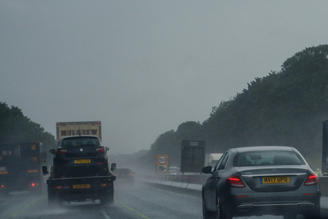
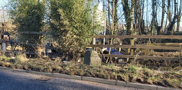
Cadishead Moss Images
Images are sourced within 2km of 53.437658/-2.4462701 or Grid Reference SJ7093. Thanks to Geograph Open Source API. All images are credited.


Cadishead Moss is located at Grid Ref: SJ7093 (Lat: 53.437658, Lng: -2.4462701)
Unitary Authority: Salford
Police Authority: Greater Manchester
What 3 Words
///bonds.paler.succeed. Near Irlam, Manchester
Nearby Locations
Related Wikis

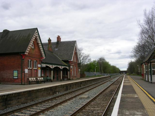
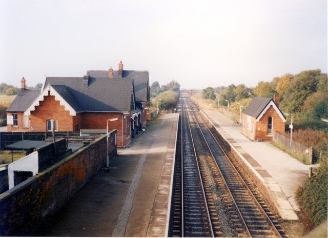
Irlam railway station
Irlam railway station in Irlam, Greater Manchester, England, is 8+3⁄4 miles (14.1 km) west of Manchester Oxford Road on the Manchester to Liverpool Line...
Irlam and Cadishead Academy
Irlam and Cadishead Academy is a co-educational secondary school located in Irlam at the extreme western end of the City of Salford borough. == History... ==

Rixton-with-Glazebrook
Rixton-with-Glazebrook is a civil parish in the Borough of Warrington, Cheshire, England. Formerly within the historic county of Lancashire, it lies to...
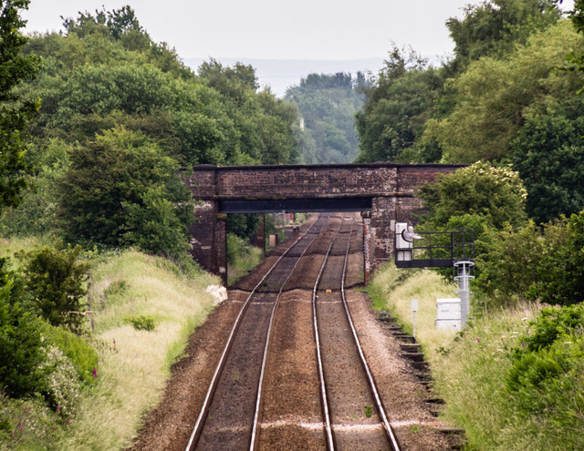
Cadishead railway station
Cadishead railway station was a railway station on the Cheshire Lines Committees Glazebrook East Junction to Skelton Junction Line serving the village...

Glazebrook railway station
Glazebrook railway station serves the villages in the civil parish of Rixton-with-Glazebrook in the Warrington unitary authority in the ceremonial county...
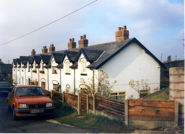
Cadishead
Cadishead is a village in the City of Salford in Greater Manchester, England, with a population of 10,739 in 2014. Within the historic county of Lancashire...

Irlam
Irlam is a suburb in the City of Salford, Greater Manchester, England. In 2011, it had a population of 19,933. It lies on flat ground on the south side...
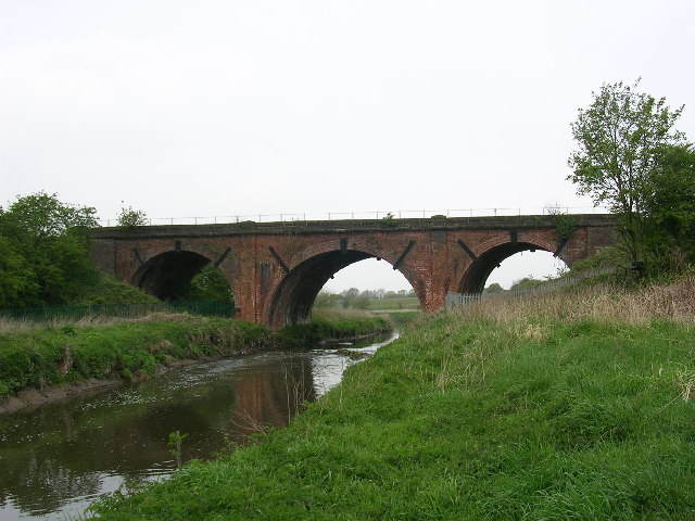
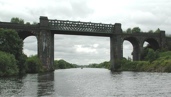
Cadishead Viaduct
Cadishead Viaduct is a disused railway viaduct of multi-lattice girder construction. It was built in 1892 by the Cheshire Lines Committee to clear the...
Related Videos


Signal Yard and Signal Box at Irlam
A quick visit to Irlam to see the signal yard and box.

TOY HOUSE GROUP WALKING ON WALKING IN PRINCES PARK DAY 3.078 FALL - LOG - MAS
TOY HOUSE GROUP WALKING ON WALKING IN PRINCES PARK PLEASE SUBSCRIBE TO SUPPORT ME LETS HIT 600 ...

Quick chat & run down of vlog | Vlog with the dog. Walking with Reggie. Irlam & Cadishead fields.
Just briefly chatting about what I will talk about in up and coming vlogs when it comes to my mental health. Nothing professional ...
Nearby Amenities
Located within 500m of 53.437658,-2.4462701Have you been to Cadishead Moss?
Leave your review of Cadishead Moss below (or comments, questions and feedback).