Cabin Hill
Hill, Mountain in Yorkshire Ribble Valley
England
Cabin Hill

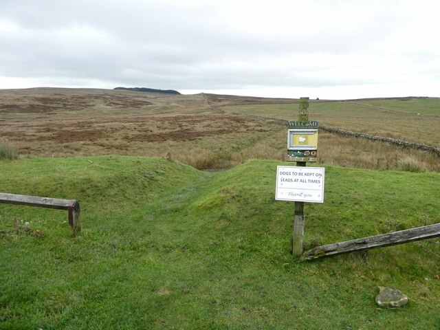
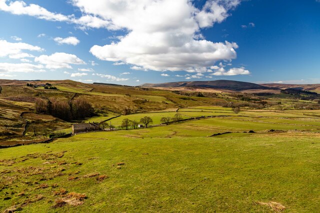
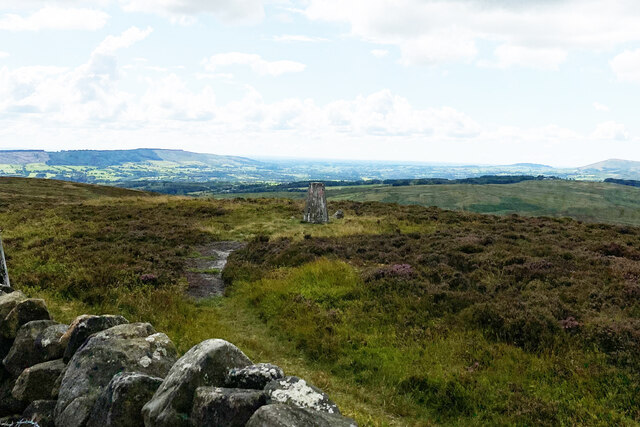
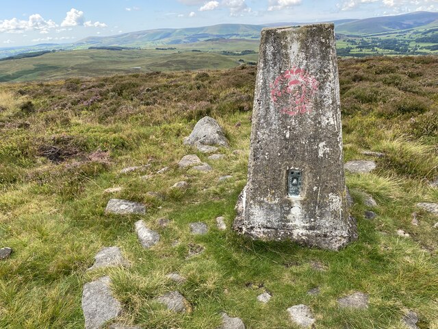
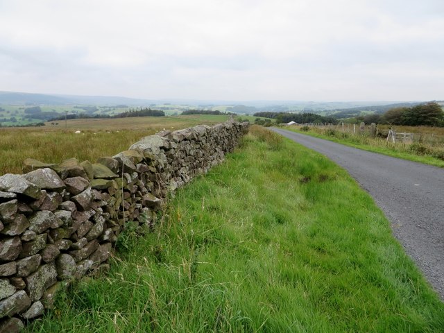
Cabin Hill is a picturesque hill located in the county of Yorkshire, England. Situated in the tranquil surroundings of the Yorkshire Dales, it is a popular destination for nature lovers and outdoor enthusiasts. Rising to an elevation of approximately 450 meters, Cabin Hill offers stunning panoramic views of the surrounding countryside.
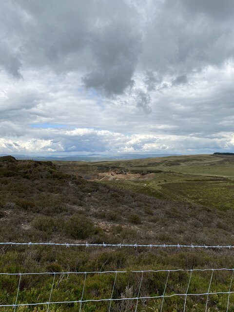
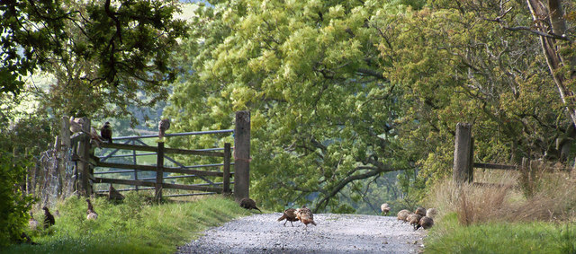
The hill is characterized by its gently sloping terrain, covered in lush greenery and dotted with vibrant wildflowers during the warmer months. It is home to a diverse range of flora and fauna, including heather, bracken, and various species of birds and butterflies. The area is also known for its ancient woodlands, adding to its natural beauty.
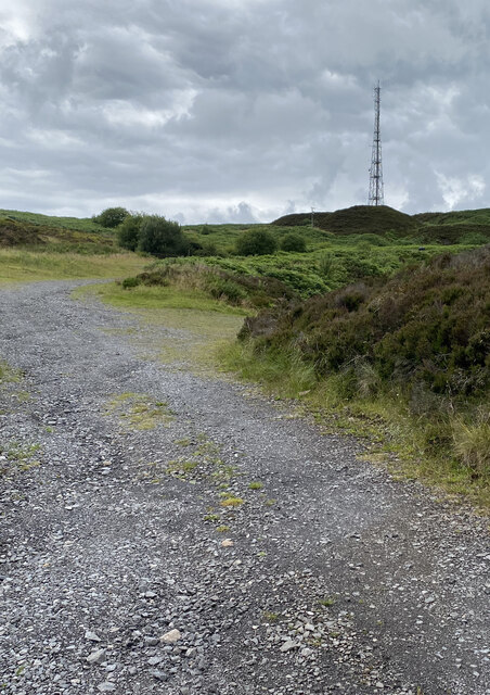
For hikers and walkers, Cabin Hill provides numerous trails and footpaths that meander through its slopes, offering the opportunity to explore the area's natural wonders. The hill is also ideal for picnics and leisurely strolls, with designated areas and benches available for visitors to relax and enjoy the peaceful surroundings.
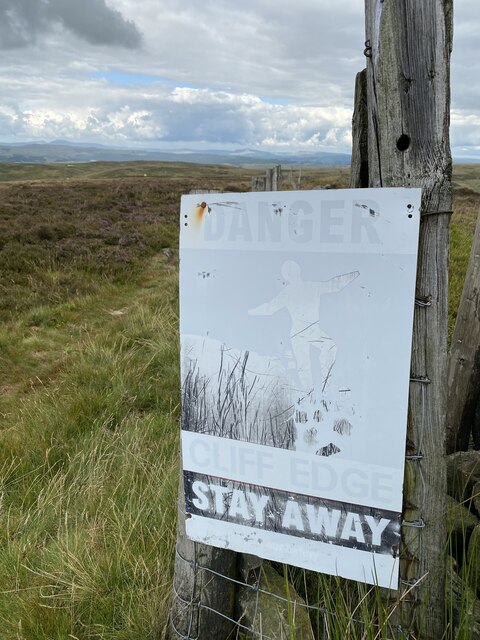
Due to its elevated position, Cabin Hill experiences cooler temperatures compared to the lower-lying areas, making it a refreshing escape during the summer months. However, visitors are advised to dress warmly during the colder seasons, as the hill can be subject to strong winds and inclement weather.
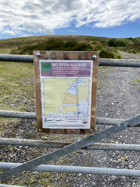
Cabin Hill is easily accessible, with a well-maintained road leading to its base and ample parking facilities nearby. It is an ideal destination for those seeking a tranquil retreat amidst the beauty of the Yorkshire countryside.
If you have any feedback on the listing, please let us know in the comments section below.
Cabin Hill Images
Images are sourced within 2km of 53.919392/-2.4555054 or Grid Reference SD7047. Thanks to Geograph Open Source API. All images are credited.


Cabin Hill is located at Grid Ref: SD7047 (Lat: 53.919392, Lng: -2.4555054)
Division: West Riding
Administrative County: Lancashire
District: Ribble Valley
Police Authority: Lancashire
What 3 Words
///narrowest.fully.handbags. Near Waddington, Lancashire
Nearby Locations
Related Wikis

Bowland Rural District
Bowland was a rural district in the West Riding of Yorkshire from 1894 to 1974. It was named after the Forest of Bowland, which it included. It was formed...

Bowland Forest Low
Bowland Forest Low is a civil parish in the Ribble Valley district of Lancashire, England, covering some 5,500 acres (22 km2) of the Forest of Bowland...

Browsholme Hall
Browsholme Hall is a privately owned Tudor house in the parish of Bowland Forest Low in the borough of Ribble Valley, Lancashire (although historically...

Newton-in-Bowland
Newton or Newton-in-Bowland is a village and civil parish in the Ribble Valley district, in the county of Lancashire, England, formerly known as Newton...

Easington Fell
Easington Fell is a Marilyn in the Forest of Bowland in Lancashire, England. It has been surveyed to be 70 cm higher than a nearby fell of almost identical...

Cow Ark Farmhouse
Cow Ark Farmhouse is a historic building in the English parish of Bowland Forest Low, Lancashire. It is Grade II listed, built around 1780, and is a sandstone...

Bashall Eaves
Bashall Eaves is a village and civil parish in the Ribble Valley district of Lancashire, England, about four miles (6 km) west of Clitheroe. The placename...

St Helen's Church, Waddington
St Helen's Church is in the village of Waddington, Lancashire, England. It is an active Anglican parish church in the deanery of Whalley, the archdeaconry...
Nearby Amenities
Located within 500m of 53.919392,-2.4555054Have you been to Cabin Hill?
Leave your review of Cabin Hill below (or comments, questions and feedback).