Browsholme Tarn
Lake, Pool, Pond, Freshwater Marsh in Yorkshire Ribble Valley
England
Browsholme Tarn

Browsholme Tarn is a tranquil freshwater body located in the picturesque county of Yorkshire, England. Nestled amidst rolling hills and surrounded by lush greenery, this natural gem offers a serene escape for nature enthusiasts and those seeking solace in the great outdoors.
Covering an area of approximately 2 hectares, Browsholme Tarn resembles a small lake, with its still waters reflecting the beauty of the surrounding landscape. The tarn is fed by natural springs and streams, ensuring a constant supply of freshwater and creating a thriving ecosystem within its depths.
Surrounded by a diverse array of plant life, including reeds, water lilies, and marsh grasses, Browsholme Tarn is also home to a variety of aquatic creatures. Fish such as perch, roach, and tench can be found swimming beneath the surface, while waterfowl such as ducks and swans gracefully glide across the water.
The tarn's natural beauty is further enhanced by the presence of a small wooded area nearby, providing a peaceful backdrop and attracting an array of bird species. Visitors may be lucky enough to spot kingfishers darting through the air or hear the melodic songs of warblers and thrushes.
Browsholme Tarn offers a peaceful haven for visitors, who can explore its serene shores on foot or enjoy a leisurely picnic on its banks. Nature lovers can revel in the tranquility of this freshwater marsh, observing the diverse flora and fauna that call it home. Whether you seek solitude or an opportunity to connect with nature, Browsholme Tarn is a hidden gem waiting to be discovered in the heart of Yorkshire.
If you have any feedback on the listing, please let us know in the comments section below.
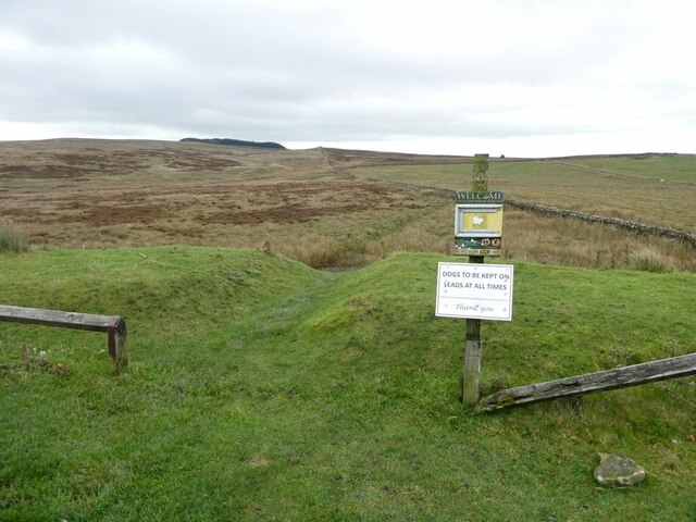
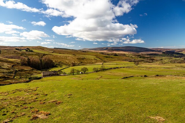
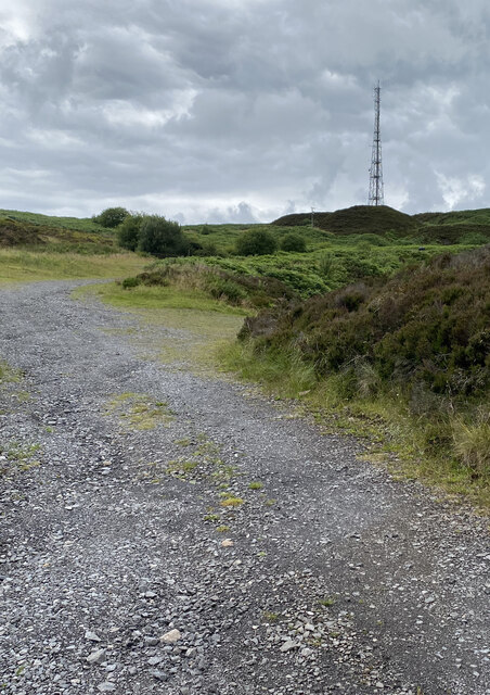
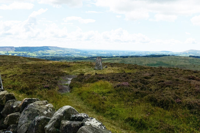
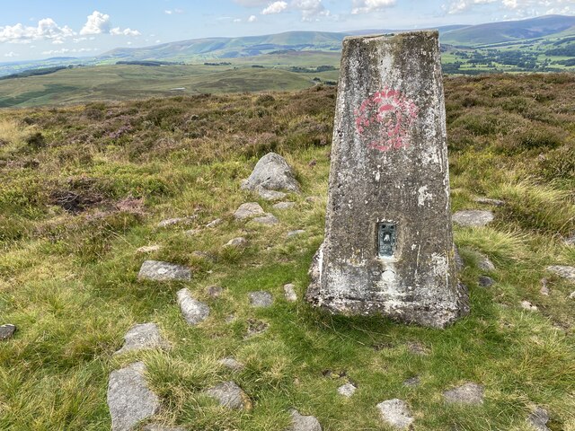
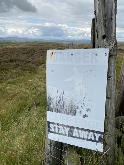
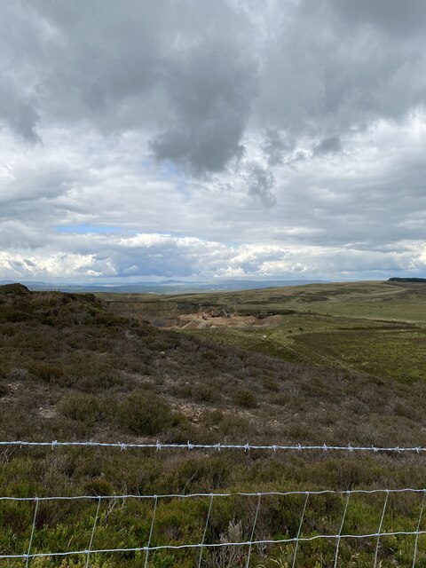
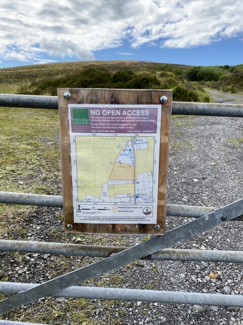
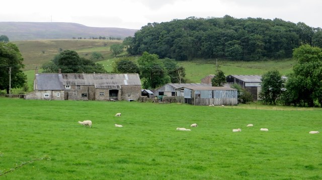
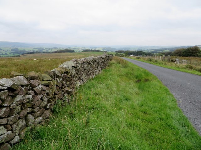
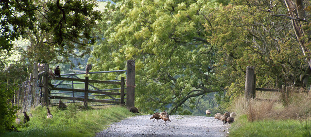
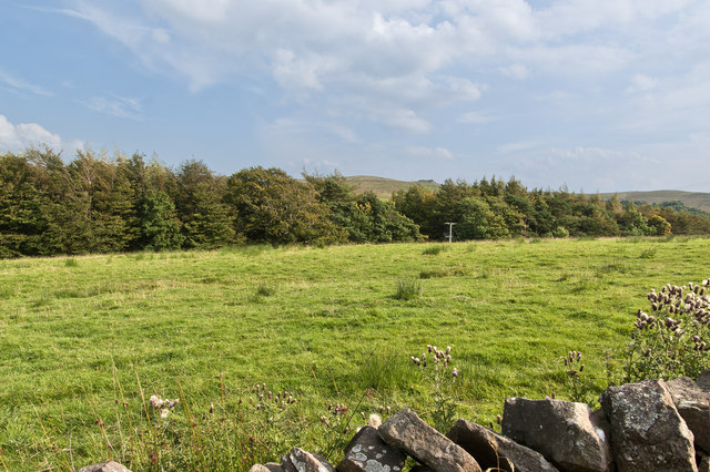
Browsholme Tarn Images
Images are sourced within 2km of 53.921393/-2.4563494 or Grid Reference SD7047. Thanks to Geograph Open Source API. All images are credited.


Browsholme Tarn is located at Grid Ref: SD7047 (Lat: 53.921393, Lng: -2.4563494)
Division: West Riding
Administrative County: Lancashire
District: Ribble Valley
Police Authority: Lancashire
What 3 Words
///fabric.senders.connected. Near Waddington, Lancashire
Nearby Locations
Related Wikis

Bowland Rural District
Bowland was a rural district in the West Riding of Yorkshire from 1894 to 1974. It was named after the Forest of Bowland, which it included. It was formed...

Bowland Forest Low
Bowland Forest Low is a civil parish in the Ribble Valley district of Lancashire, England, covering some 5,500 acres (22 km2) of the Forest of Bowland...

Browsholme Hall
Browsholme Hall is a privately owned Tudor house in the parish of Bowland Forest Low in the borough of Ribble Valley, Lancashire (although historically...

Newton-in-Bowland
Newton or Newton-in-Bowland is a village and civil parish in the Ribble Valley district, in the county of Lancashire, England, formerly known as Newton...

Easington Fell
Easington Fell is a Marilyn in the Forest of Bowland in Lancashire, England. It has been surveyed to be 70 cm higher than a nearby fell of almost identical...

Cow Ark Farmhouse
Cow Ark Farmhouse is a historic building in the English parish of Bowland Forest Low, Lancashire. It is Grade II listed, built around 1780, and is a sandstone...

Bashall Eaves
Bashall Eaves is a village and civil parish in the Ribble Valley district of Lancashire, England, about four miles (6 km) west of Clitheroe. The placename...

Whitewell Hotel
Whitewell Hotel is an historic building in the English parish of Bowland Forest Low, Lancashire. It is Grade II listed, built in 1836, and is in sandstone...
Nearby Amenities
Located within 500m of 53.921393,-2.4563494Have you been to Browsholme Tarn?
Leave your review of Browsholme Tarn below (or comments, questions and feedback).