Randlay Pool
Lake, Pool, Pond, Freshwater Marsh in Shropshire
England
Randlay Pool
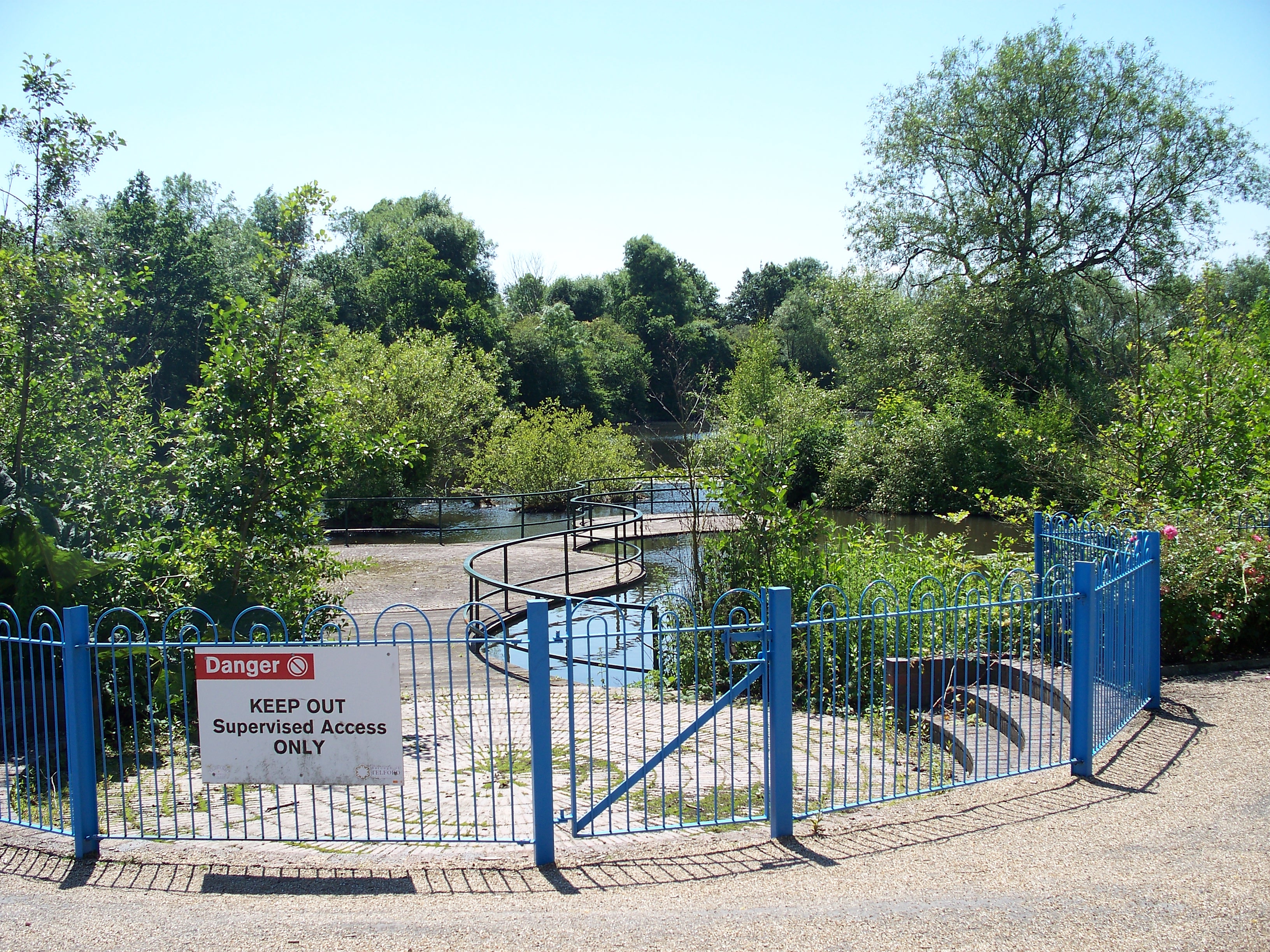
Randlay Pool is a scenic freshwater lake located in Shropshire, England. Situated in the heart of the Randlay Valley, it offers a tranquil and picturesque setting for visitors and locals alike. The pool spans an area of approximately 6 acres and is surrounded by lush greenery and wildlife.
The pool itself is known for its crystal-clear waters, which make it a popular spot for various water activities such as fishing, boating, and swimming. It is home to an abundance of freshwater fish species, including carp, pike, and roach, attracting anglers from far and wide. Fishing enthusiasts can enjoy a peaceful day by the water's edge, trying their luck at catching the local inhabitants.
The surrounding area of Randlay Pool boasts a diverse ecosystem, with a mix of marshland, reed beds, and woodland. This variety of habitats supports a rich array of flora and fauna, making it a haven for nature lovers and birdwatchers. Visitors can expect to see a wide range of bird species, such as herons, swans, ducks, and even the occasional kingfisher darting across the water.
The pool is easily accessible, with ample parking and well-maintained footpaths leading to its shores. It also offers picnic areas and benches, allowing visitors to relax and soak in the natural beauty of the surroundings. Randlay Pool is a true gem of Shropshire, providing a peaceful retreat from the hustle and bustle of everyday life.
If you have any feedback on the listing, please let us know in the comments section below.
Randlay Pool Images
Images are sourced within 2km of 52.667874/-2.4431001 or Grid Reference SJ7007. Thanks to Geograph Open Source API. All images are credited.
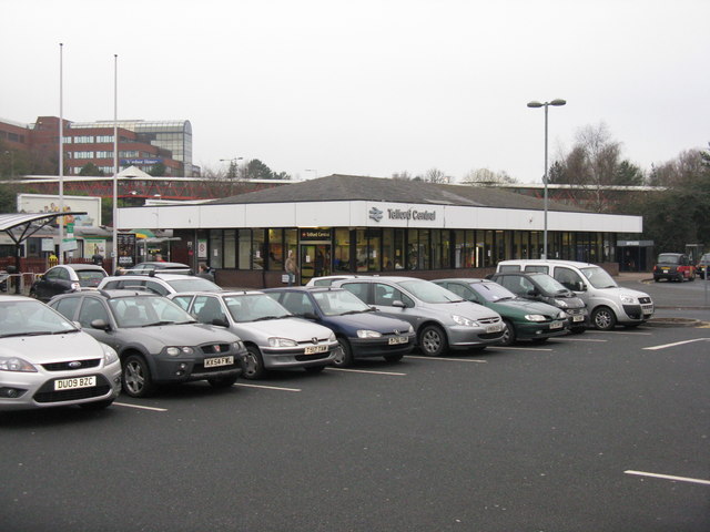
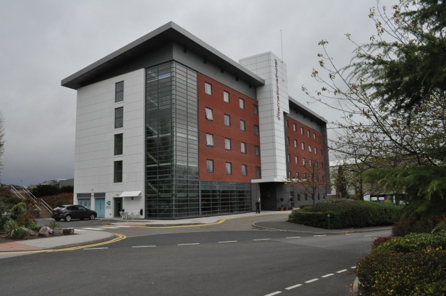
![Telford Central Station and car park On Euston Way, just off Queensway [A442] and the Hollinswood Interchange with the A5.](https://s0.geograph.org.uk/geophotos/02/30/25/2302572_3faefe21.jpg)
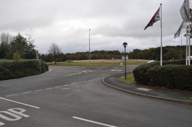
![Telford Central Looking across the Queensway [A442], and over Central Station to Euston Way, the Premier Inn and Euston Way Beefeater.](https://s1.geograph.org.uk/geophotos/02/30/32/2303213_5529ea09.jpg)
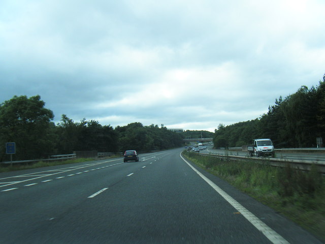
![Telford Queensway The A442 at its junction with the A5 [Holyhead Road], Hollinsgate, Rampart Way and Euston Way.](https://s3.geograph.org.uk/geophotos/02/30/32/2303219_817bafa3.jpg)
Randlay Pool is located at Grid Ref: SJ7007 (Lat: 52.667874, Lng: -2.4431001)
Unitary Authority: Telford and Wrekin
Police Authority: West Mercia
What 3 Words
///climate.giggles.extension. Near Telford, Shropshire
Nearby Locations
Related Wikis


Nearby Amenities
Located within 500m of 52.667874,-2.4431001Have you been to Randlay Pool?
Leave your review of Randlay Pool below (or comments, questions and feedback).