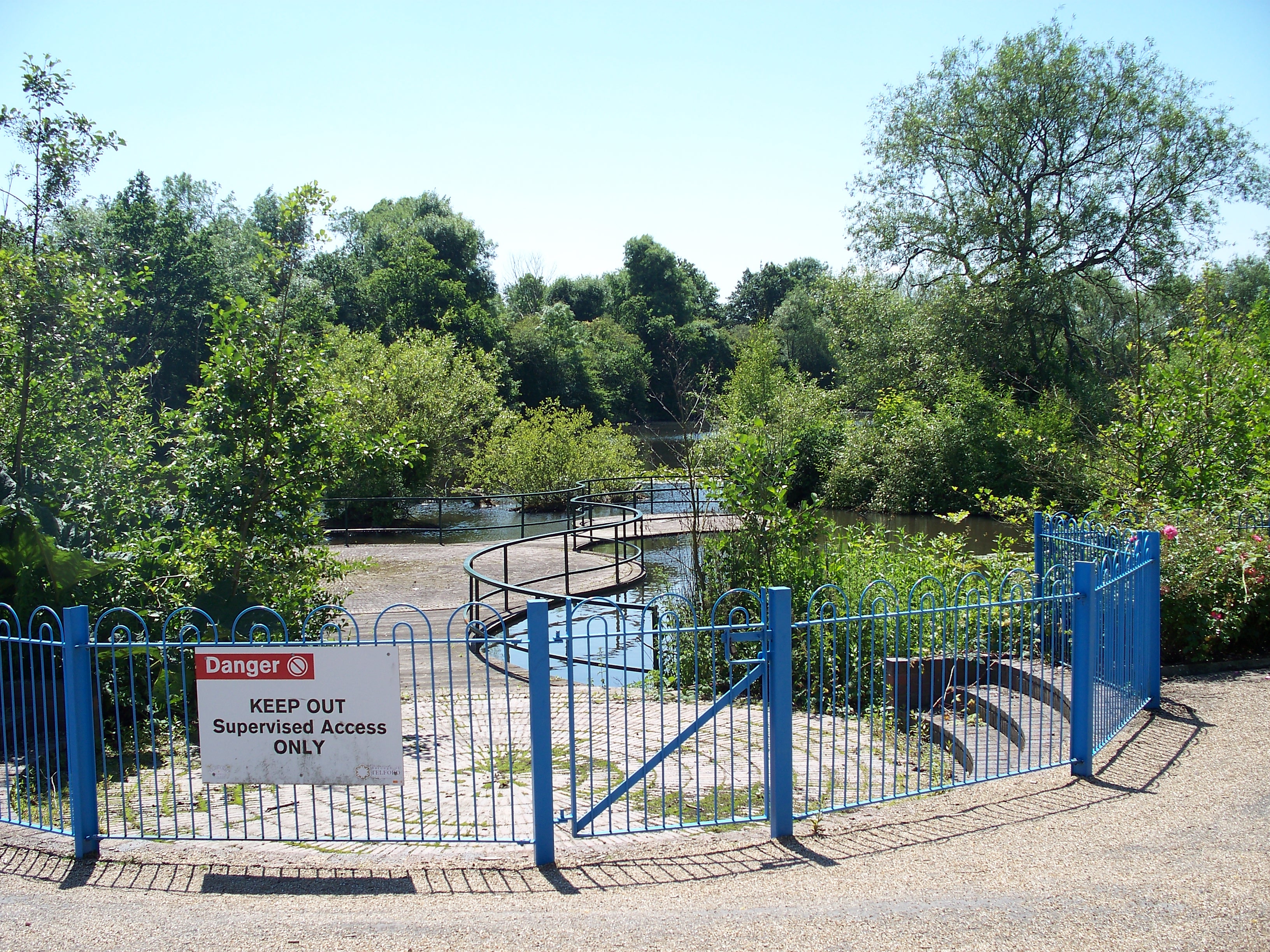
Blue Pool
Lake, Pool, Pond, Freshwater Marsh in Shropshire
England
Blue Pool
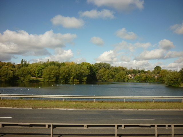
Blue Pool is a picturesque lake located in Shropshire, England. Nestled amidst the rolling hills and lush greenery of the region, it is a popular destination for both locals and tourists seeking tranquility and natural beauty. Spanning approximately 2.5 acres, this freshwater body is known for its striking blue color, hence its name.
The Blue Pool is surrounded by a diverse range of vegetation, including reeds, rushes, and water lilies, which add to its charm and provide a habitat for various species of wildlife. The calm and crystal-clear water reflects the surrounding landscape, creating a stunning mirror-like effect that is truly captivating.
This natural wonder is a haven for nature enthusiasts, as it attracts a wide variety of bird species such as kingfishers, herons, and swans. Visitors can often spot these birds gracefully gliding across the water or perched on the branches of the surrounding trees.
The pool is also home to a variety of fish, including perch, roach, and carp, making it a popular spot for fishing enthusiasts. Anglers can be seen peacefully casting their lines from the banks, hoping to reel in a prized catch.
Surrounded by lush meadows and woodland, Blue Pool offers several walking trails that allow visitors to explore and appreciate the surrounding natural beauty. These paths offer breathtaking views of the lake, as well as opportunities to observe the local flora and fauna.
Overall, Blue Pool in Shropshire is a serene and idyllic destination, offering visitors a chance to immerse themselves in nature's beauty and enjoy a peaceful retreat away from the hustle and bustle of everyday life.
If you have any feedback on the listing, please let us know in the comments section below.
Blue Pool Images
Images are sourced within 2km of 52.666848/-2.4410491 or Grid Reference SJ7007. Thanks to Geograph Open Source API. All images are credited.


Blue Pool is located at Grid Ref: SJ7007 (Lat: 52.666848, Lng: -2.4410491)
Unitary Authority: Telford and Wrekin
Police Authority: West Mercia
What 3 Words
///boosted.ship.riverboat. Near Telford, Shropshire
Nearby Locations
Related Wikis
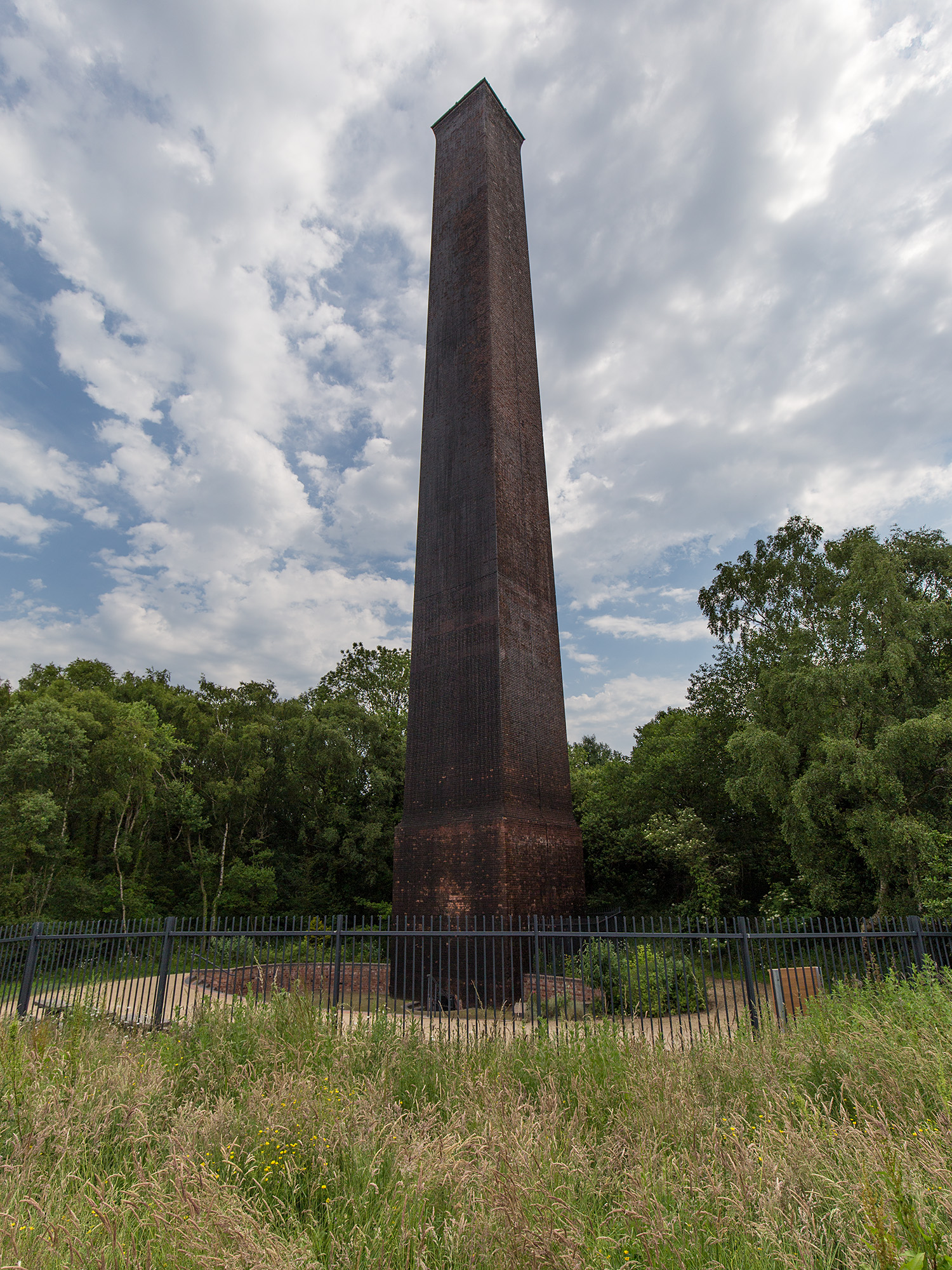
Stirchley Chimney
Stirchley Chimney is a chimney located in Telford Town Park. The chimney also marks a notable waypoint on the South Telford Heritage Trail. Measuring 209...
Telford Town Park
Telford Town Park is a park and Local Nature Reserve in Telford in Shropshire. In 2015, it was voted "UK's Best Park" in the inaugural public competition...

South Telford Heritage Trail
The South Telford Heritage Trail is a circular, waymarked walking route that passes by forty-nine heritage sites in the English town of Telford. ��2�...

Telford Ice Rink
Telford Ice Rink is located in the £250m Southwater Complex in Telford, Shropshire, England. The ice rink is home to National Ice Hockey League team the...
Nearby Amenities
Located within 500m of 52.666848,-2.4410491Have you been to Blue Pool?
Leave your review of Blue Pool below (or comments, questions and feedback).