Town Park
Wood, Forest in Shropshire
England
Town Park
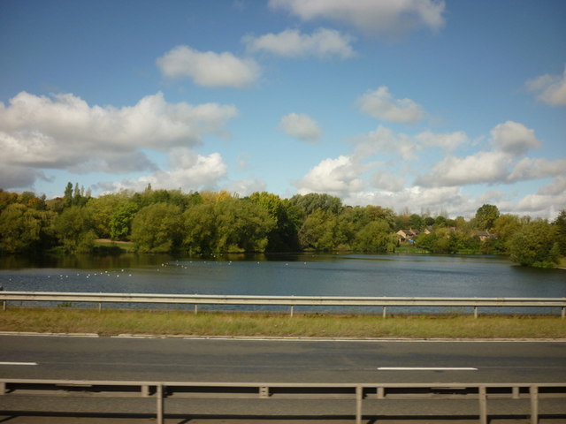
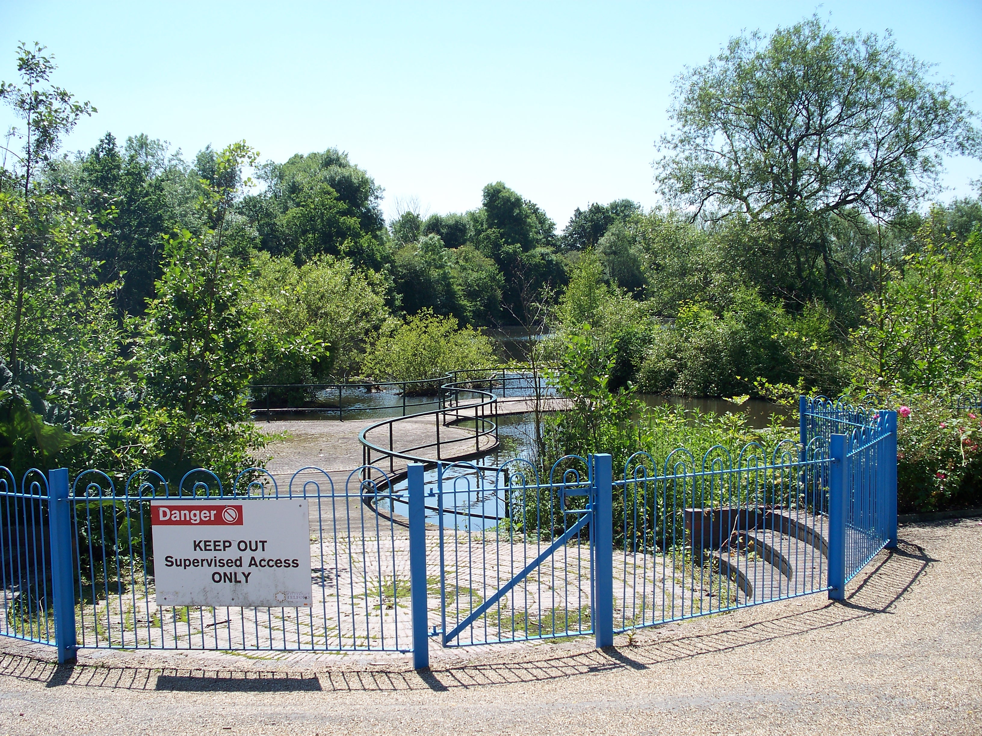
Town Park is a picturesque woodland located in the county of Shropshire, England. Covering an area of approximately 100 acres, this forest is a popular destination for nature enthusiasts and outdoor enthusiasts alike. It is nestled in the heart of the town, providing a serene escape from the bustling urban life.
The woodland is primarily composed of a mixture of deciduous and coniferous trees, creating a diverse and vibrant ecosystem. Oak, beech, and birch trees dominate the landscape, offering a stunning display of colors during the autumn months. The forest floor is adorned with a variety of wildflowers, adding to the park's natural beauty.
Town Park features an extensive network of walking trails, allowing visitors to explore the forest at their own pace. These paths wind through the woods, providing opportunities to spot wildlife such as squirrels, rabbits, and a wide array of bird species. The park also offers designated picnic areas and benches, perfect for enjoying a leisurely lunch surrounded by the tranquil sounds of nature.
In addition to its natural charm, Town Park provides recreational facilities for visitors of all ages. The park boasts a children's playground, complete with swings, slides, and climbing frames, ensuring that younger visitors have a fun-filled experience. Furthermore, there are open spaces within the park where games like football and frisbee can be enjoyed.
Overall, Town Park in Shropshire is a captivating woodland that offers a peaceful retreat for those seeking solace in nature. Its diverse flora and fauna, coupled with its numerous amenities, make it a must-visit destination for locals and tourists alike.
If you have any feedback on the listing, please let us know in the comments section below.
Town Park Images
Images are sourced within 2km of 52.66684/-2.4431931 or Grid Reference SJ7007. Thanks to Geograph Open Source API. All images are credited.
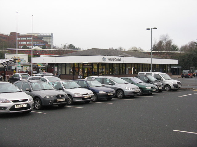
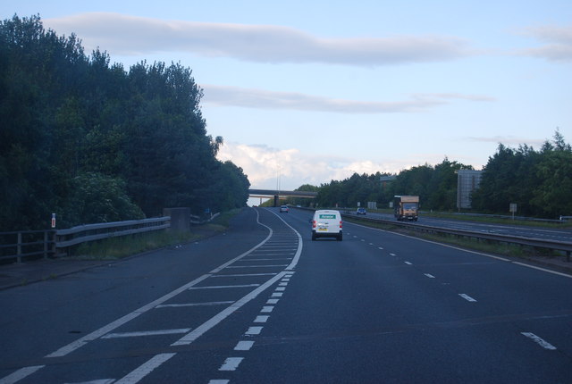
![Telford Central Station and car park On Euston Way, just off Queensway [A442] and the Hollinswood Interchange with the A5.](https://s0.geograph.org.uk/geophotos/02/30/25/2302572_3faefe21.jpg)
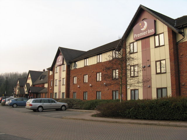
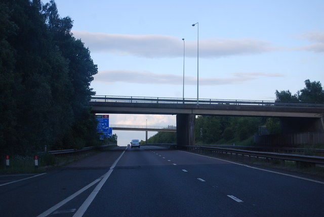
![Telford Central Looking across the Queensway [A442], and over Central Station to Euston Way, the Premier Inn and Euston Way Beefeater.](https://s1.geograph.org.uk/geophotos/02/30/32/2303213_5529ea09.jpg)
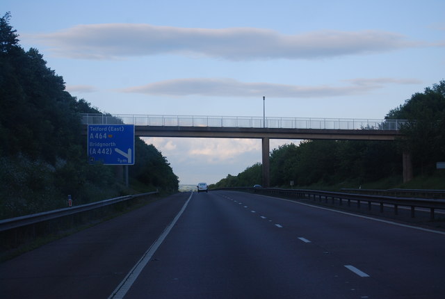
![Telford Queensway The A442 at its junction with the A5 [Holyhead Road], Hollinsgate, Rampart Way and Euston Way.](https://s3.geograph.org.uk/geophotos/02/30/32/2303219_817bafa3.jpg)
Town Park is located at Grid Ref: SJ7007 (Lat: 52.66684, Lng: -2.4431931)
Unitary Authority: Telford and Wrekin
Police Authority: West Mercia
What 3 Words
///chatted.volume.essays. Near Telford, Shropshire
Nearby Locations
Related Wikis
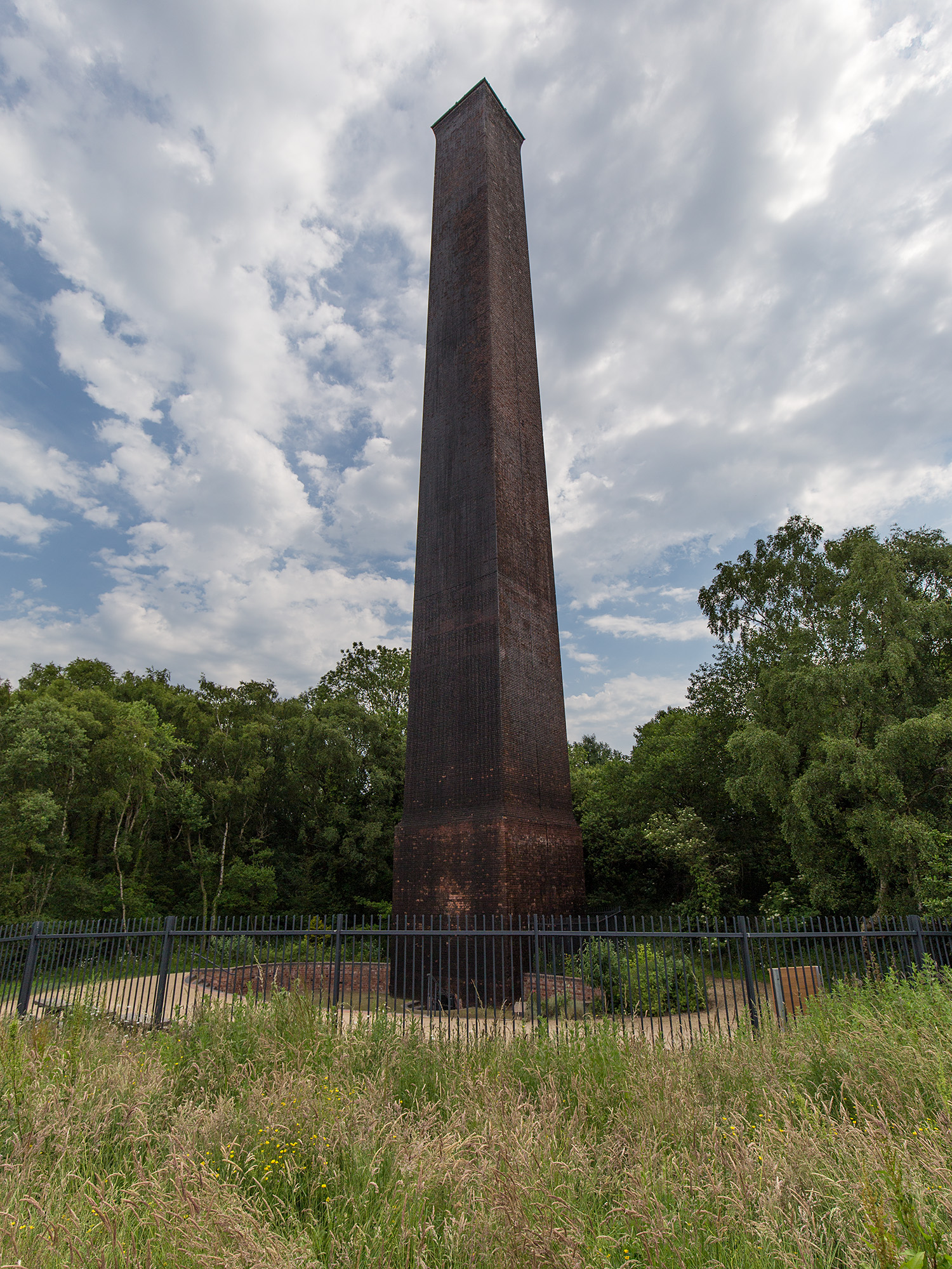
Stirchley Chimney
Stirchley Chimney is a chimney located in Telford Town Park. The chimney also marks a notable waypoint on the South Telford Heritage Trail. Measuring 209...
Telford Town Park
Telford Town Park is a park and Local Nature Reserve in Telford in Shropshire. In 2015, it was voted "UK's Best Park" in the inaugural public competition...

South Telford Heritage Trail
The South Telford Heritage Trail is a circular, waymarked walking route that passes by forty-nine heritage sites in the English town of Telford. ��2�...

Telford Ice Rink
Telford Ice Rink is located in the £250m Southwater Complex in Telford, Shropshire, England. The ice rink is home to National Ice Hockey League team the...

Malins Lee railway station
Malins Lee railway station was a station in Malinslee, Shropshire, England. The station was opened in 1862 and closed in 1952. The station site marks the...
St James' Church, Stirchley
St James' Church is a redundant Anglican church in Stirchley, Shropshire, England. The church is recorded in the National Heritage List for England as...

Telford
Telford ( ) is a town in Shropshire, England. It is the administrative centre of Telford and Wrekin borough, a unitary authority which covers the town...

Malinslee
Malinslee is an estate in the town of Telford and Wrekin, Shropshire, England. It is near the Town Park and Telford Shopping Centre, and next to the Dawley...
Nearby Amenities
Located within 500m of 52.66684,-2.4431931Have you been to Town Park?
Leave your review of Town Park below (or comments, questions and feedback).