Cary Moor

Downs, Moorland in Somerset

England

Cary Moor

Houses at the point where Timsbury Rd is about to become Bloomfield Rd, near Bloomfield
Houses at the point where Timsbury Rd is about to become Bloomfield Rd, near Bloomfield Credit: John Lord

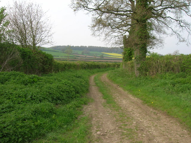
Cary Moor, Somerset, also known as Cary Downs or Cary Moorland, is a picturesque area located in the south-west of England. It is situated near the small village of Castle Cary in Somerset County. This stunning natural landscape spans over a vast area of around 500 acres, consisting of rolling hills, open fields, and rich moorland.

Cary Moor is renowned for its diverse flora and fauna, making it a popular destination for nature enthusiasts and wildlife photographers. The meandering streams and wetlands provide a thriving habitat for various bird species, including the iconic grey heron and the elusive kingfisher. Visitors may also spot small mammals like rabbits, foxes, and badgers roaming freely in their natural habitat.

The moorland is characterized by its unique vegetation, with patches of heather, gorse, and bracken adding splashes of color to the landscape. During the spring and summer months, the moorland comes alive with vibrant wildflowers, creating a picturesque scene that attracts visitors from near and far.

Cary Moor offers several walking trails and footpaths, allowing visitors to explore the area at their own pace. The trails offer breathtaking views of the surrounding countryside, including the distant Mendip Hills and the historic town of Glastonbury.

Overall, Cary Moor, Somerset, is a tranquil and captivating destination, offering a perfect blend of natural beauty and wildlife. Whether for a peaceful stroll, birdwatching, or simply immersing oneself in the beauty of the English countryside, Cary Moor is a must-visit location for nature lovers and outdoor enthusiasts.

If you have any feedback on the listing, please let us know in the comments section below.
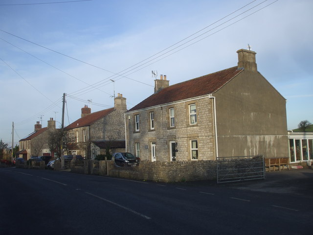
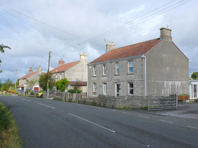
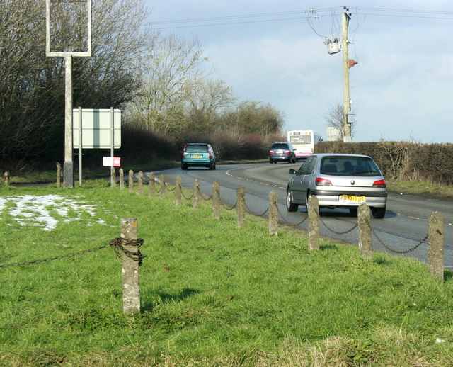
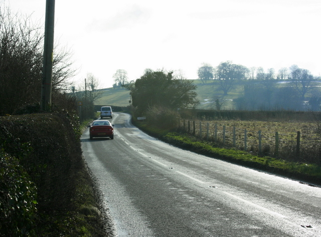
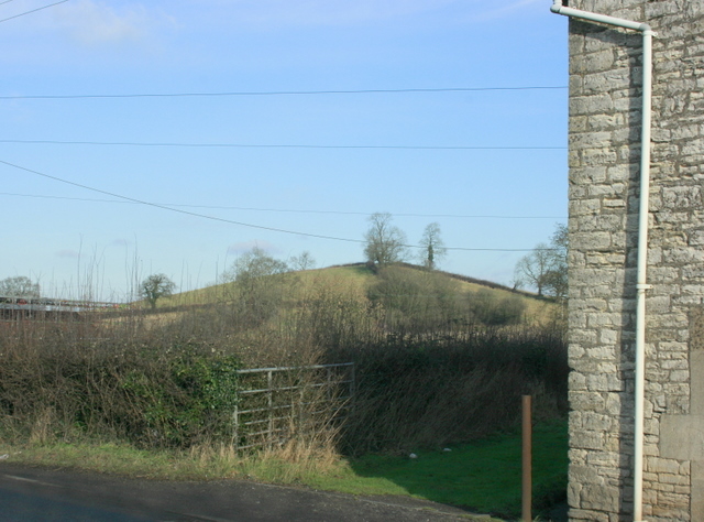
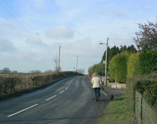
Cary Moor Images

Images are sourced within 2km of 51.351346/-2.4914199 or Grid Reference ST6561. Thanks to Geograph Open Source API. All images are credited.

Houses at the point where Timsbury Rd is about to become Bloomfield Rd, near Bloomfield
Houses on Bloomfield Road. These attractive stone built semi detached houses are on the east side of Bloomfield Rd between Farmborough and Timsbury. Bloomfield is the northern part of Timsbury.
Houses on Bloomfield Road.
These attractive stone built semi detached houses are on the east side of Bloomfield Rd between Farmborough and Timsbury. Bloomfield is the northern part of Timsbury.
Ordnance Survey Cut Mark This OS cut mark can be found on the wall north side of the road. It marks a point 120.250m above mean sea level.
Ordnance Survey Cut Mark
This OS cut mark can be found on the wall north side of the road. It marks a point 120.250m above mean sea level.
Ordnance Survey Cut Mark This OS cut mark can be found on the NW angle of St Peter's Church. It marks a point 123.834m above mean sea level.
Ordnance Survey Cut Mark
This OS cut mark can be found on the NW angle of St Peter's Church. It marks a point 123.834m above mean sea level.
Ordnance Survey Cut Mark This OS cut mark can be found on the Hall SE side of the road. It marks a point 122.624m above mean sea level.
Ordnance Survey Cut Mark
This OS cut mark can be found on the Hall SE side of the road. It marks a point 122.624m above mean sea level.
Ordnance Survey Cut Mark This OS cut mark can be found on the old chapel NW side of the road. It marks a point 120.277m above mean sea level.
Ordnance Survey Cut Mark
This OS cut mark can be found on the old chapel NW side of the road. It marks a point 120.277m above mean sea level.
Ordnance Survey Cut Mark This OS cut mark can be found on Sun Galore, SE side of the road. It marks a point 126.355m above mean sea level.
Ordnance Survey Cut Mark
This OS cut mark can be found on Sun Galore, SE side of the road. It marks a point 126.355m above mean sea level.
Ordnance Survey Cut Mark This OS cut mark can be found on the wall south side of the road. It marks a point 130.692m above mean sea level.
Ordnance Survey Cut Mark
This OS cut mark can be found on the wall south side of the road. It marks a point 130.692m above mean sea level.
Ordnance Survey Cut Mark This OS cut mark can be found on the wall south side of the road. It marks a point 111.883m above mean sea level.
Ordnance Survey Cut Mark
This OS cut mark can be found on the wall south side of the road. It marks a point 111.883m above mean sea level.
Ordnance Survey Cut Mark This OS cut mark can be found on the NW angle of All Saints Church. It marks a point 119.661m above mean sea level.
Ordnance Survey Cut Mark
This OS cut mark can be found on the NW angle of All Saints Church. It marks a point 119.661m above mean sea level.
Ordnance Survey Cut Mark This OS cut mark can be found on a building at the Sewage Works. It marks a point 90.613m above mean sea level.
Ordnance Survey Cut Mark
This OS cut mark can be found on a building at the Sewage Works. It marks a point 90.613m above mean sea level.
Ordnance Survey Cut Mark This OS cut mark can be found on the braced concrete post north side of the road. It marks a point 94.083m above mean sea level.
Ordnance Survey Cut Mark
This OS cut mark can be found on the braced concrete post north side of the road. It marks a point 94.083m above mean sea level.
2009 : The A39 at Crossways Near High Littleton looking toward Farmborough and Bath.
The sign of the former Royal Oak public house is to the left with the board removed. <a href="https://www.geograph.org.uk/photo/364126">ST6459 : The Royal Oak, Cross Ways</a>
2009 : The A39 at Crossways
Near High Littleton looking toward Farmborough and Bath. The sign of the former Royal Oak public house is to the left with the board removed. ST6459 : The Royal Oak, Cross Ways
2009 : Bloomfield Road Has left Farmborough and is heading south past Bloomfield to Timsbury.
The hill to the right is known as The Sleight.
2009 : Bloomfield Road
Has left Farmborough and is heading south past Bloomfield to Timsbury. The hill to the right is known as The Sleight.
2009 : East from Bloomfield Road Bloomfield Road becomes Timsbury Road somewhere along here.
This is a hill on Farmborough Common, though the common land has long since been fenced off.
2009 : East from Bloomfield Road
Bloomfield Road becomes Timsbury Road somewhere along here. This is a hill on Farmborough Common, though the common land has long since been fenced off.
2009 : West from Bloomfield Road (or Timsbury Road) Somewhat drab in spite of the best efforts of sun and sky. Never fear, the grass will start growing soon, cattle will roam the fields and spring will spring as from nowhere.
2009 : West from Bloomfield Road (or Timsbury Road)
Somewhat drab in spite of the best efforts of sun and sky. Never fear, the grass will start growing soon, cattle will roam the fields and spring will spring as from nowhere.
2009 : Bloomfield Road, possibly Bloomfield Road changes to Timsbury Road near here as it approaches Farmborough heading north, it makes sense, it really does.
2009 : Bloomfield Road, possibly
Bloomfield Road changes to Timsbury Road near here as it approaches Farmborough heading north, it makes sense, it really does.
Byway near Stanton Prior
Show me another place!

Cary Moor is located at Grid Ref: ST6561 (Lat: 51.351346, Lng: -2.4914199)

Unitary Authority: Bath and North East Somerset

Police Authority: Avon and Somerset

What 3 Words

///hourglass.holidays.fakes. Near Timsbury, Somerset

Related Wikis

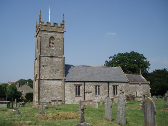
Church of All Saints, Farmborough

The Church of All Saints is an Anglican parish church in Farmborough, Somerset, England. It was principally built in the 15th century (with parts dating...

Farmborough

Farmborough is a small village and civil parish, 6 miles (9.7 km) south west of Bath in Somerset, England. It straddles both the A39 and A368 roads. The...

Church of St Peter, Marksbury

The Church of St Peter in Marksbury, Somerset, England dates from the 12th century, although most of the current fabric is from the 15th century and is...

Marksbury

Marksbury is a small village and civil parish on the eastern edge of the affluent Chew Valley in Somerset, about 4 miles (6.4 km) from Keynsham and 7 miles...

Nearby Amenities

Located within 500m of 51.351346,-2.4914199
Barrier: kissing_gate
Lat/Long: 51.3484883/-2.4963172
The data included in this document is from www.openstreetmap.org. The data is made available under ODbL.

Have you been to Cary Moor?

Leave your review of Cary Moor below (or comments, questions and feedback).