Smacam Down
Downs, Moorland in Dorset
England
Smacam Down
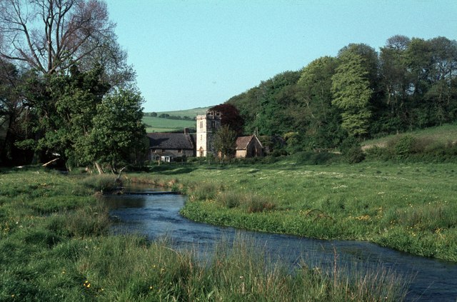
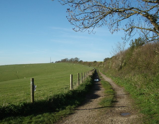
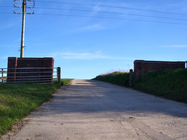
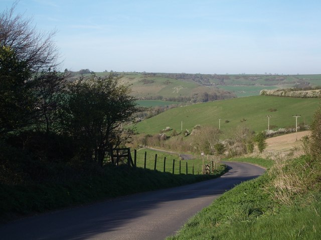
Smacam Down, Dorset, located in the southern part of England, is a picturesque area known for its stunning natural landscapes. Spanning across the counties of Dorset, Hampshire, and Somerset, Smacam Down is a combination of downs, moorland, and rolling hills.
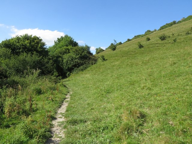
The downs in Smacam Down are characterized by their chalky terrain, forming a series of undulating hills that offer breathtaking views of the surrounding countryside. The lush greenery and vibrant wildflowers that adorn these hills make it an ideal destination for nature enthusiasts and hikers.
In addition to its downs, Smacam Down is also home to vast stretches of moorland. These open expanses of heather-covered land create a unique and serene atmosphere, attracting visitors seeking tranquility and solitude. The moorland is dotted with various species of wildlife, including birds, reptiles, and small mammals, making it a popular spot for nature photography and birdwatching.
The area is also rich in history and cultural heritage. Numerous archaeological sites and ancient monuments can be found across Smacam Down, offering a glimpse into the region's past. Visitors can explore Neolithic burial mounds, Iron Age hillforts, and Roman remains, providing a fascinating insight into the area's historical significance.
Overall, Smacam Down, Dorset, offers a diverse and captivating landscape that appeals to nature lovers, history enthusiasts, and those seeking a peaceful retreat. With its stunning downs, serene moorland, and rich cultural heritage, it is a destination that showcases the beauty and charm of the English countryside.
If you have any feedback on the listing, please let us know in the comments section below.
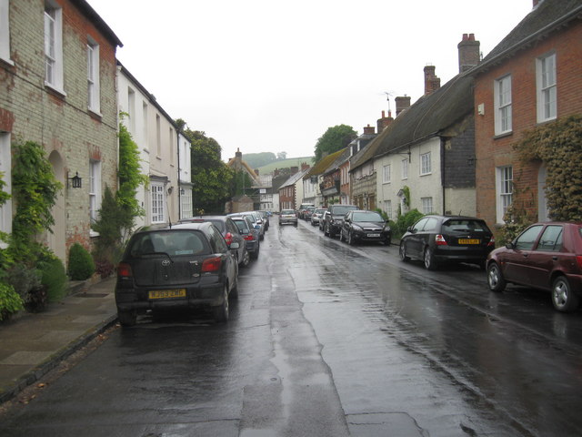
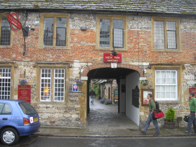
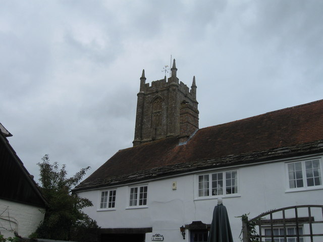
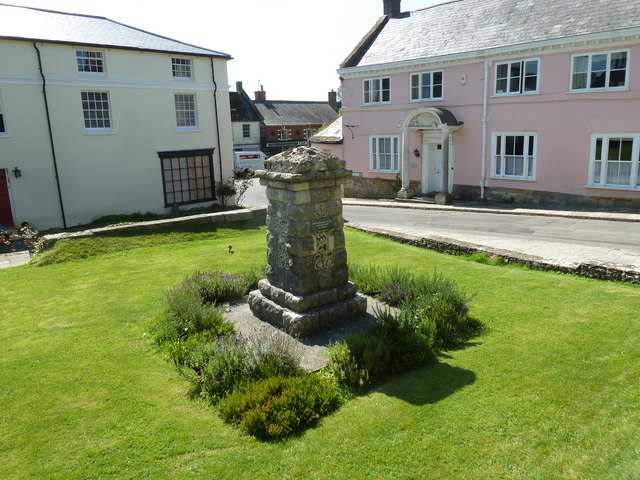
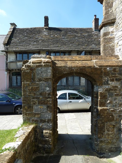
Smacam Down Images
Images are sourced within 2km of 50.793001/-2.4855671 or Grid Reference SY6599. Thanks to Geograph Open Source API. All images are credited.
Smacam Down is located at Grid Ref: SY6599 (Lat: 50.793001, Lng: -2.4855671)
Unitary Authority: Dorset
Police Authority: Dorset
What 3 Words
///copper.proposes.detonated. Near Maiden Newton, Dorset
Nearby Locations
Related Wikis
Black Hill Down
Black Hill Down (grid reference ST668005) is a 71.84 hectare biological Site of Special Scientific Interest in Dorset, notified in 1989. == Sources... ==
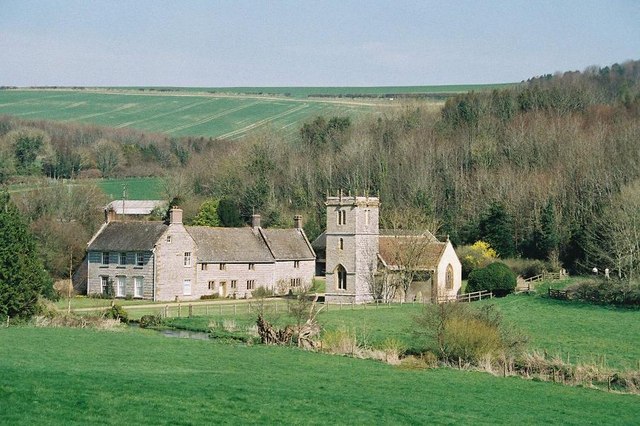
Nether Cerne
Nether Cerne is a hamlet and civil parish in the English county of Dorset. It lies within the Dorset unitary authority administrative area, about 5 miles...

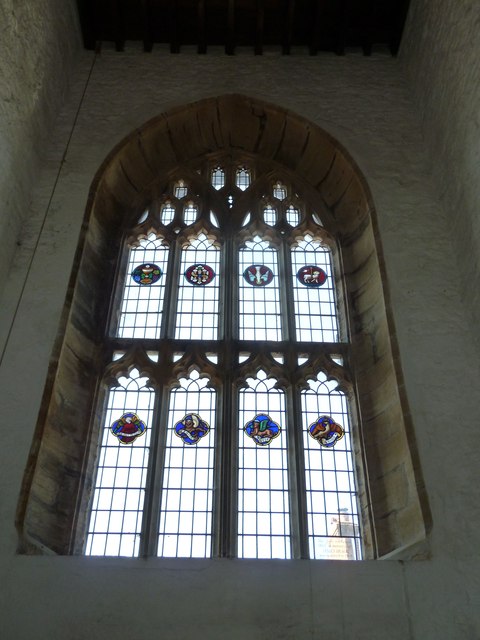
All Saints Church, Nether Cerne
All Saints Church in Nether Cerne, Dorset, England was built in the late 13th century. It is recorded in the National Heritage List for England as a designated...

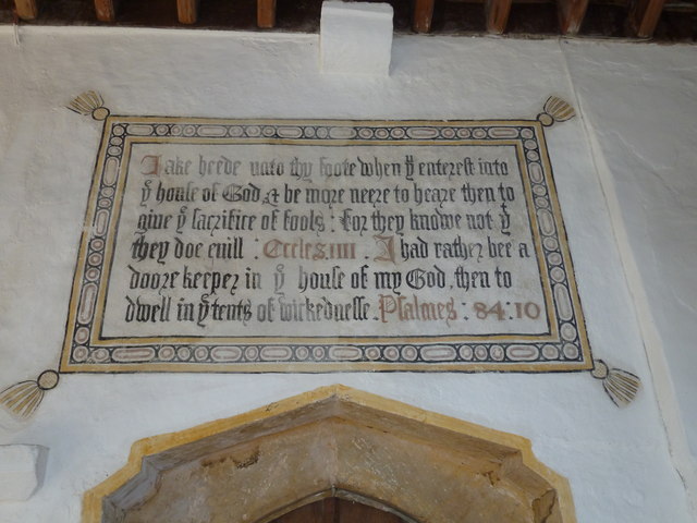
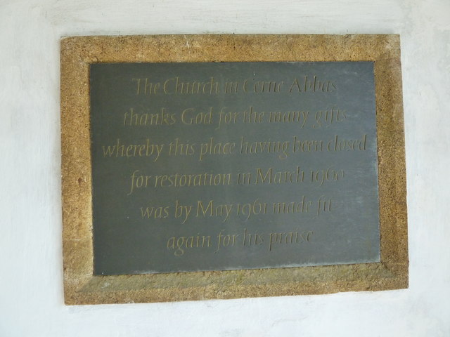
Cerne Abbas
Cerne Abbas () is a village and civil parish in the county of Dorset in southern England. It lies in the Dorset Council administrative area in the Cerne...

Shearplace Hill Enclosure
The Shearplace Hill Enclosure is an archaeological site of the Bronze Age, about 1.5 miles (2.4 km) south-west of Cerne Abbas in Dorset, England. It is...

Cerne Abbey
Cerne Abbey was a Benedictine monastery founded in 987 in the town now called Cerne Abbas, Dorset, by Æthelmær the Stout. == History == The abbey was founded...

Godmanstone
Godmanstone (or Godmanston) is a village and civil parish in the county of Dorset in southern England, situated approximately 4 miles (6.4 km) north of...

Cerne Abbas Giant
The Cerne Abbas Giant is a hill figure near the village of Cerne Abbas in Dorset, England. 55 metres (180 ft) high, it depicts a standing nude male with...
Have you been to Smacam Down?
Leave your review of Smacam Down below (or comments, questions and feedback).