Large Bar Hill

Hill, Mountain in Dorset

England

Large Bar Hill

Sydling St Nicholas: the ford and pedestrian bridge
Sydling St Nicholas: the ford and pedestrian bridge Credit: Keith Salvesen

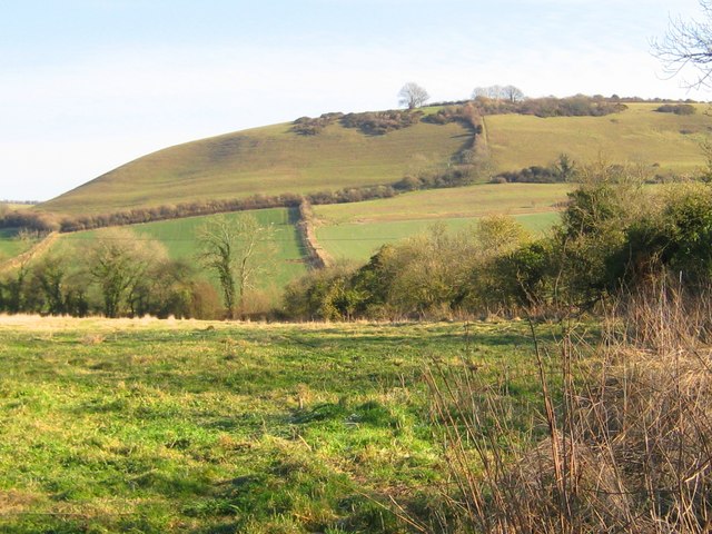
Large Bar Hill is a prominent landmark located in the county of Dorset, England. It is classified as a hill rather than a mountain due to its relatively modest elevation. Standing at approximately 198 meters (650 feet) above sea level, it offers panoramic views of the surrounding countryside.

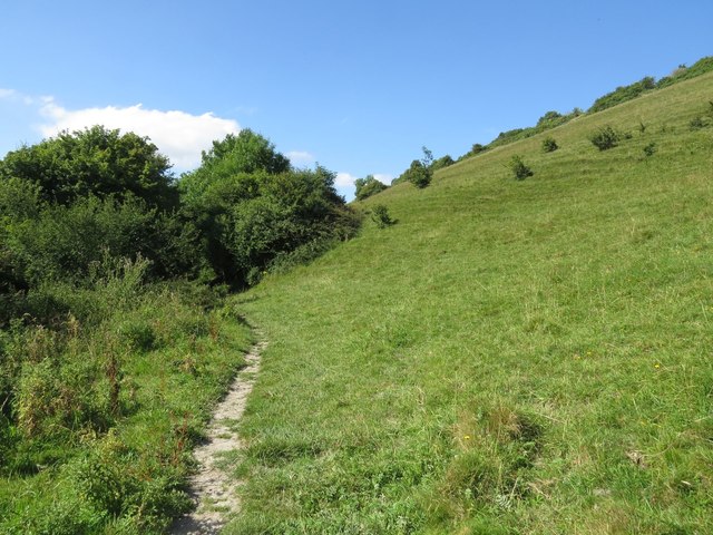
Situated near the town of Wareham, Large Bar Hill is part of the Purbeck Hills, a range of chalk hills in the region. The hill itself is characterized by its rounded shape and gentle slopes, making it accessible to hikers and walkers of all levels. Its grassy slopes are dotted with wildflowers during the summer months, adding to its scenic charm.

The summit of Large Bar Hill is adorned with a trig point, which serves as a reference point for mapping and surveying purposes. From this vantage point, visitors can enjoy breathtaking vistas of the Dorset landscape, including the nearby Dorset Heaths, Wareham Forest, and Poole Harbour. On clear days, it is even possible to spot the Isle of Wight in the distance.

Large Bar Hill is a popular destination for outdoor enthusiasts and nature lovers. Its tranquil atmosphere and unspoiled surroundings make it an ideal spot for picnics, photography, and leisurely walks. The hill is also home to a variety of wildlife, including birds, rabbits, and butterflies, making it a haven for nature enthusiasts.

Overall, Large Bar Hill in Dorset offers a serene and picturesque escape for those seeking a connection with nature and a chance to appreciate the beauty of the English countryside.

If you have any feedback on the listing, please let us know in the comments section below.

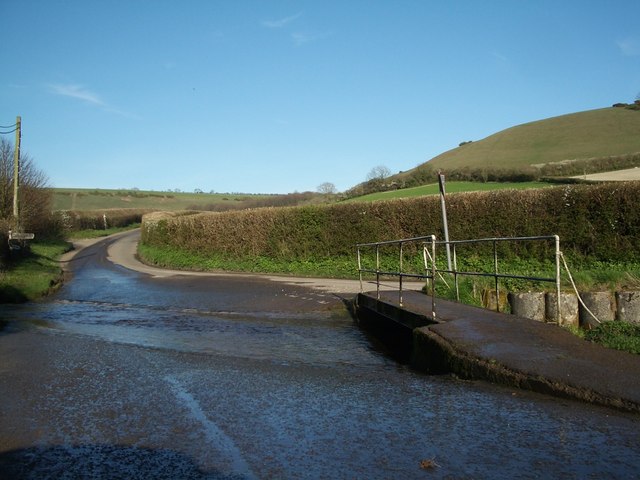
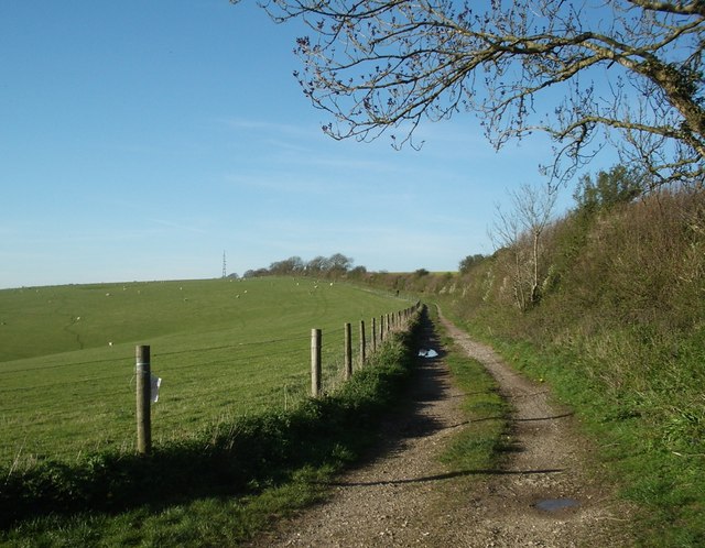
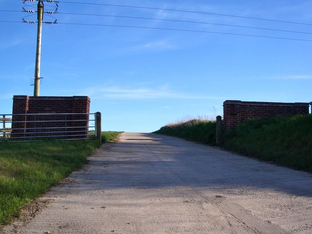
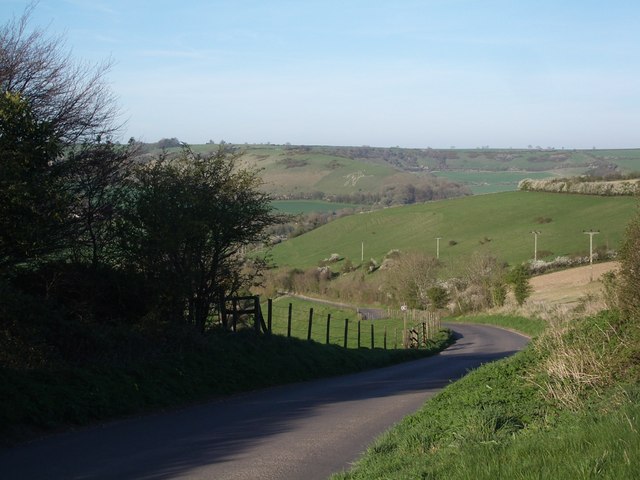
Large Bar Hill Images

Images are sourced within 2km of 50.792036/-2.4969071 or Grid Reference SY6599. Thanks to Geograph Open Source API. All images are credited.

Sydling St Nicholas: the ford and pedestrian bridge
Hog Hill nr Cerne Abbas: track leading (eventually) to Batcombe
Farm Gateway near Cerne Abbas
Dickley Hill: the road down to Cerne Abbas (Cerne Giant just visible...)
Cowdown Hill - Sydling St Nicholas Cowdown Hill is one of the steep chalk hills sheltering the north-easterly tip of the village of Sydling St Nicholas. It stands 711ft above sea level and in the summer months orchids can be found growing upon its steep sides.
Cowdown Hill - Sydling St Nicholas
Cowdown Hill is one of the steep chalk hills sheltering the north-easterly tip of the village of Sydling St Nicholas. It stands 711ft above sea level and in the summer months orchids can be found growing upon its steep sides.
Ford over Sydling Water
Footpath sign in Cerne Park, west of Cerne Abbas Looking back towards the village of Cerne Abbas.
Footpath sign in Cerne Park, west of Cerne Abbas
Looking back towards the village of Cerne Abbas.
Sydling St Nicholas Ford This ford on Sydling Water is found at Sydling St Nicholas. The road sign shown in this 2008 photograph has long since deteriorated.
<a title="https://www.geograph.org.uk/photo/724363" href="https://www.geograph.org.uk/photo/724363">Link</a>
Sydling St Nicholas Ford
This ford on Sydling Water is found at Sydling St Nicholas. The road sign shown in this 2008 photograph has long since deteriorated. Link
Driving through the River .. near Sydling St Nicholas, 1967 View westward, with my wife driving our BMC 1800 Mark II through. (Cf. <a href="https://www.geograph.org.uk/photo/311260">ST6300 : The ford at Sydling St Nicholas</a> and others).
Driving through the River .. near Sydling St Nicholas, 1967
View westward, with my wife driving our BMC 1800 Mark II through. (Cf. ST6300 : The ford at Sydling St Nicholas and others).
A352 towards Cerne Abbas
Footpath at foot of Black Hill, near Cerne Abbas
Ford north of Sydling St. Nicholas The Sydling Water crosses the road.
Ford north of Sydling St. Nicholas
The Sydling Water crosses the road.
Cowdown Hill A chalk hill.
Cowdown Hill
A chalk hill.
Old Milestone by the A352, south of Cerne Abbas Carved stone post by the A352, in parish of CERNE ABBAS (WEST DORSET District), South of Cerne Abbas, on grass verge against hedge, just South of field gate, on West side of road. Dorset 3 (limestone), erected by the Cerne Abbas turnpike trust in the 19th century. 

Inscription reads:-
DORCHESTER
7
SHERBORNE
12  
Carved benchmark lower centre of front face.

Milestone Society National ID: DO_SBDO12.
Old Milestone by the A352, south of Cerne Abbas
Carved stone post by the A352, in parish of CERNE ABBAS (WEST DORSET District), South of Cerne Abbas, on grass verge against hedge, just South of field gate, on West side of road. Dorset 3 (limestone), erected by the Cerne Abbas turnpike trust in the 19th century. Inscription reads:- DORCHESTER 7 SHERBORNE 12 Carved benchmark lower centre of front face. Milestone Society National ID: DO_SBDO12.
Farm buildings near Cerne Park
Higher City Farm
Higher City Farm
Park Mead Bottom
Park Mead Bottom
Inaccessible footpath to Park Mead Bottom
Show me another place!

Large Bar Hill is located at Grid Ref: SY6599 (Lat: 50.792036, Lng: -2.4969071)

Unitary Authority: Dorset

Police Authority: Dorset

What 3 Words

///unzipped.shipwreck.originals. Near Maiden Newton, Dorset

Related Wikis

Shearplace Hill Enclosure

The Shearplace Hill Enclosure is an archaeological site of the Bronze Age, about 1.5 miles (2.4 km) south-west of Cerne Abbas in Dorset, England. It is...

Sydling St Nicholas

Sydling St Nicholas is a village and civil parish in Dorset within southwest England. The parish is 5 to 9 miles (8.0 to 14.5 km) northwest of the county...

Black Hill Down

Black Hill Down (grid reference ST668005) is a 71.84 hectare biological Site of Special Scientific Interest in Dorset, notified in 1989. == Sources... ==

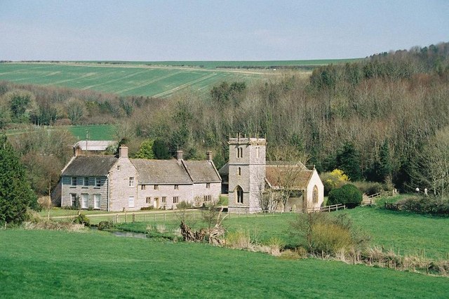
All Saints Church, Nether Cerne

All Saints Church in Nether Cerne, Dorset, England was built in the late 13th century. It is recorded in the National Heritage List for England as a designated...

Nether Cerne

Nether Cerne is a hamlet and civil parish in the English county of Dorset. It lies within the Dorset unitary authority administrative area, about 5 miles...

Cerne Abbas

Cerne Abbas () is a village and civil parish in the county of Dorset in southern England. It lies in the Dorset Council administrative area in the Cerne...

Cerne Abbey

Cerne Abbey was a Benedictine monastery founded in 987 in the town now called Cerne Abbas, Dorset, by Æthelmær the Stout. == History == The abbey was founded...

Sydling Water

The Sydling Water is an 8 km (5 mi) long river in Dorset, England, which flows from north to south from Up Sydling until it joins the River Frome near...

Nearby Amenities

Located within 500m of 50.792036,-2.4969071
The data included in this document is from www.openstreetmap.org. The data is made available under ODbL.

Have you been to Large Bar Hill?

Leave your review of Large Bar Hill below (or comments, questions and feedback).