Apley Castle Park
Downs, Moorland in Shropshire
England
Apley Castle Park

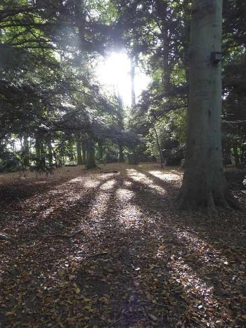
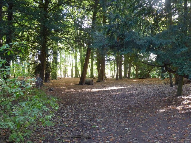
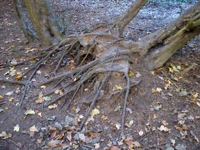
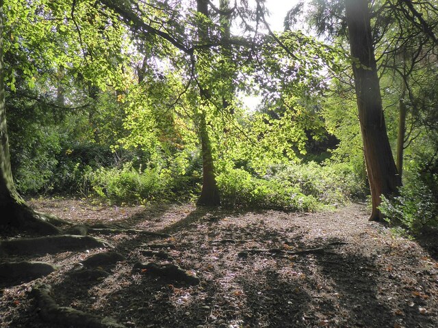
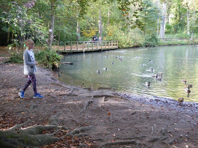
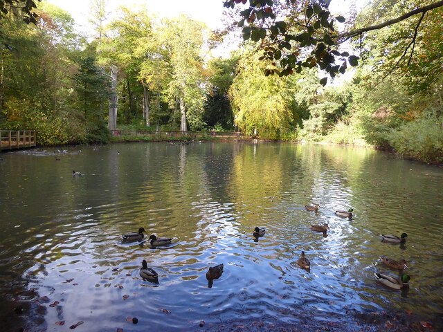
Apley Castle Park is a picturesque estate located in Shropshire, England. Situated in the heart of the county, the park covers a vast expanse of land, encompassing both sprawling downs and beautiful moorland. With its diverse landscapes, Apley Castle Park offers visitors a unique opportunity to explore the natural beauty of Shropshire.
The downs of the park are characterized by rolling hills and expansive meadows. Visitors can enjoy leisurely walks and hikes, taking in the panoramic views of the surrounding countryside. The downs are also home to a variety of wildlife, including rabbits, hares, and numerous bird species, making it an ideal spot for nature enthusiasts and birdwatchers.
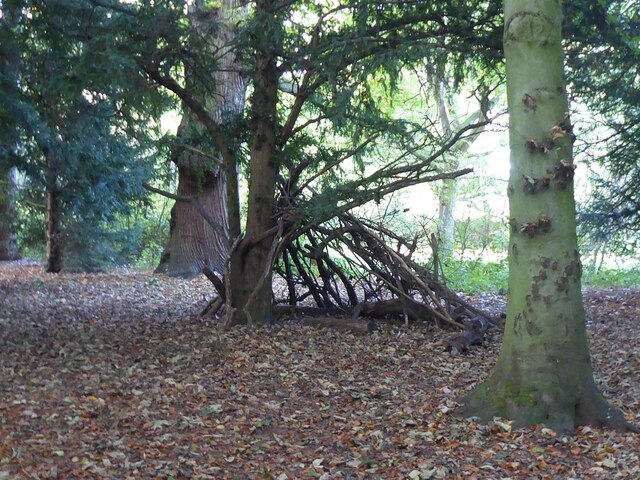
In contrast, the moorland of Apley Castle Park offers a completely different experience. Here, visitors can immerse themselves in the rugged beauty of the Shropshire hills. The moorland is dotted with heather and gorse, creating a vibrant and colorful landscape. The area is also known for its ancient stone formations, adding a touch of mystery and history to the surroundings.
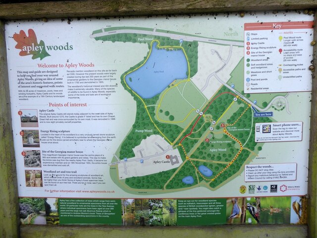
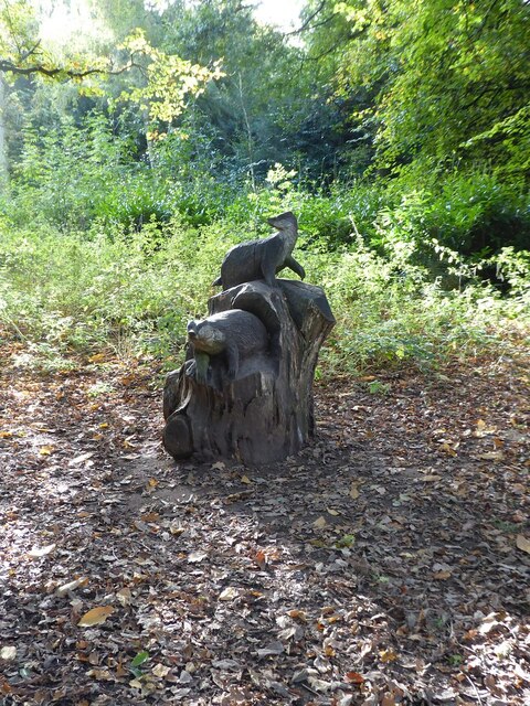
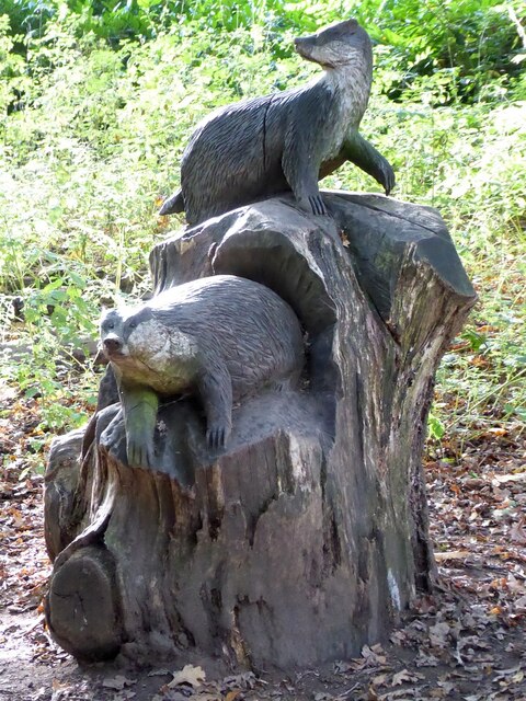
Apley Castle Park is not only a haven for nature lovers but also offers recreational activities for all ages. The park features well-maintained walking trails, picnic areas, and designated spots for outdoor games and sports. Additionally, there is a visitor center that provides information about the park's history, flora, and fauna.
Overall, Apley Castle Park in Shropshire is a captivating destination that showcases the natural beauty and diversity of the county. Whether you're seeking a tranquil escape or an adventurous exploration, this park has something to offer for everyone.
If you have any feedback on the listing, please let us know in the comments section below.
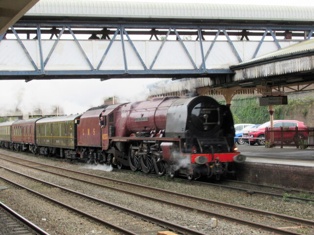
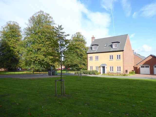
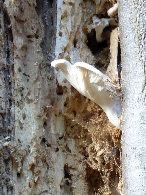
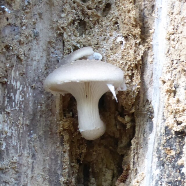
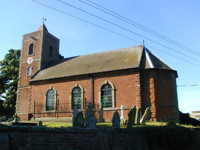
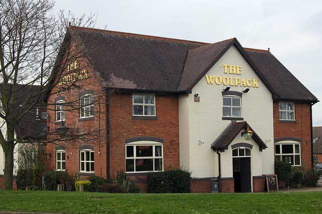
Apley Castle Park Images
Images are sourced within 2km of 52.718045/-2.5061418 or Grid Reference SJ6513. Thanks to Geograph Open Source API. All images are credited.


Apley Castle Park is located at Grid Ref: SJ6513 (Lat: 52.718045, Lng: -2.5061418)
Unitary Authority: Telford and Wrekin
Police Authority: West Mercia
What 3 Words
///roosters.variances.offer. Near Eyton upon the Weald Moors, Shropshire
Nearby Locations
Related Wikis

Apley Castle
Apley Castle was a medieval fortified manor in the village of Hadley, Shropshire, England. == History == Apley Castle was a moated, fortified manor house...
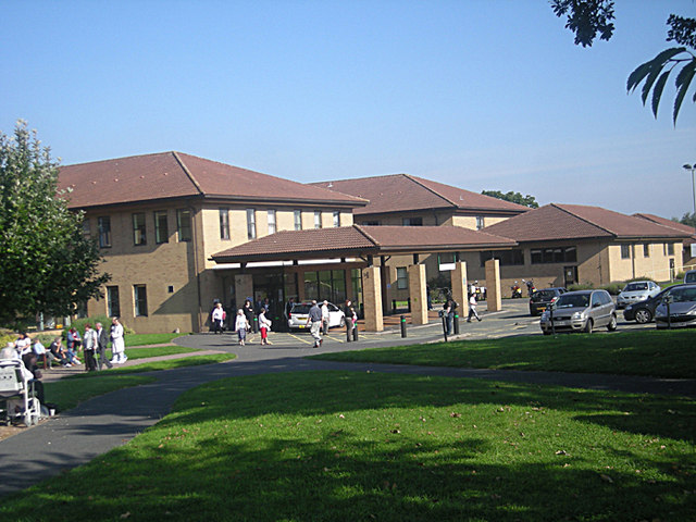
Princess Royal Hospital, Telford
The Princess Royal Hospital is a teaching hospital located in Apley Castle, Telford, England. It forms the Telford site of the Shrewsbury and Telford Hospital...
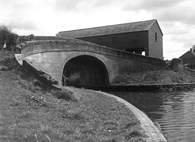
Wappenshall Junction
Wappenshall Junction (grid reference SJ662145) is a British canal junction located at Wappenshall, Shropshire. It was created when the Newport Branch Canal...

Charlton School
Charlton School is a coeducational secondary school located in Telford, Shropshire, England. In May 2015 the school was placed in special measures after...
Eyton upon the Weald Moors
Eyton is a village and civil parish in Shropshire, England on the south-west edge of the Weald Moors, north of Wellington. Naturalist Thomas Campbell Eyton...
Dothill
Dothill is a small district in the north-western part of Telford, England. It is located to the north-west of Wellington, one of the old towns that form...
Shawbirch
Shawbirch is a residential area in the ceremonial county of Shropshire, in the Unitary Authority of Telford and Wrekin. It is located west of Admaston...
Wellington Rural District, Shropshire
Wellington was a rural district in Shropshire, England from 1894 to 1974. It was formed under the Local Government Act 1894 based on the Wellington rural...
Nearby Amenities
Located within 500m of 52.718045,-2.5061418Have you been to Apley Castle Park?
Leave your review of Apley Castle Park below (or comments, questions and feedback).