Marksbury Plain

Downs, Moorland in Somerset

England

Marksbury Plain

Houses at the point where Timsbury Rd is about to become Bloomfield Rd, near Bloomfield
Houses at the point where Timsbury Rd is about to become Bloomfield Rd, near Bloomfield Credit: John Lord

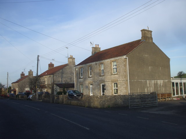
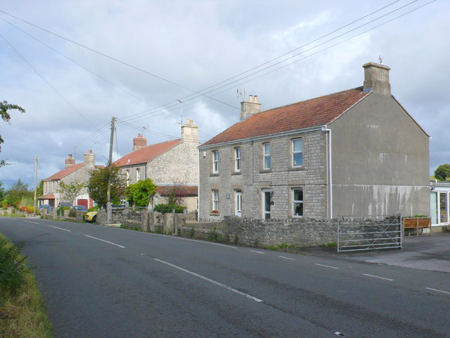
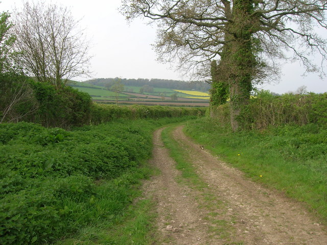
Marksbury Plain is a vast and picturesque area located in Somerset, England. It is renowned for its stunning natural beauty, characterized by rolling hills, open downs, and expansive moorlands. The plain covers an area of approximately 5 square miles and is situated near the village of Marksbury.

The terrain of Marksbury Plain is predominantly made up of grasslands and heathlands, providing a rich habitat for various plant and animal species. The area is dotted with patches of gorse and heather, which add vibrant colors to the landscape, particularly during the summer months.

The plain offers breathtaking panoramic views, with its elevated position offering vistas of the surrounding countryside. On clear days, visitors can admire the distant hills and valleys, providing a sense of tranquility and serenity.

Marksbury Plain also holds historical significance. It was once used as a training ground for the military during World War II, and remnants of old military infrastructure can still be found scattered across the plain. These include concrete bunkers, trenches, and target ranges, which serve as a reminder of the area's past.

The plain is a popular destination for nature lovers, hikers, and photographers, who are drawn to its unspoiled beauty and peaceful atmosphere. It provides ample opportunities for outdoor activities such as walking, birdwatching, and picnicking.

Overall, Marksbury Plain is a captivating natural landscape that showcases the diverse beauty of Somerset. Its rolling downs, moorlands, and historical remnants make it a must-visit destination for those seeking a tranquil and scenic experience in the heart of the English countryside.

If you have any feedback on the listing, please let us know in the comments section below.

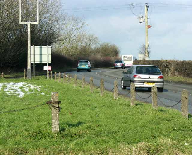
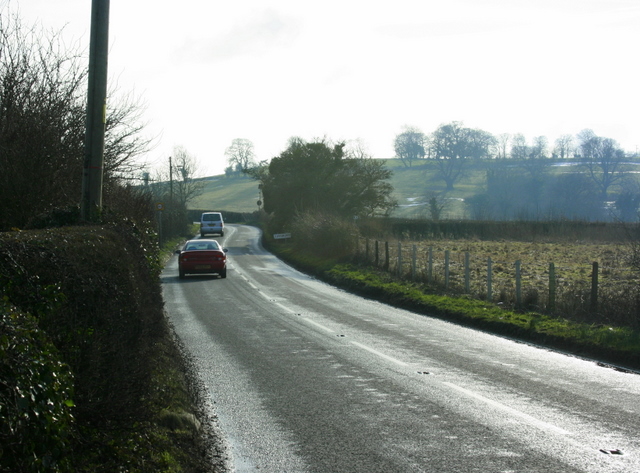
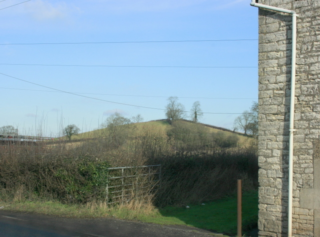
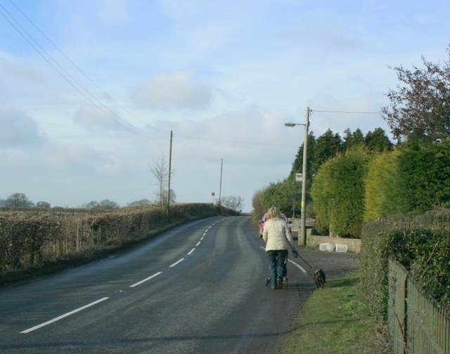
Marksbury Plain Images

Images are sourced within 2km of 51.350787/-2.4919596 or Grid Reference ST6561. Thanks to Geograph Open Source API. All images are credited.

Houses at the point where Timsbury Rd is about to become Bloomfield Rd, near Bloomfield
Houses on Bloomfield Road. These attractive stone built semi detached houses are on the east side of Bloomfield Rd between Farmborough and Timsbury. Bloomfield is the northern part of Timsbury.
Houses on Bloomfield Road.
These attractive stone built semi detached houses are on the east side of Bloomfield Rd between Farmborough and Timsbury. Bloomfield is the northern part of Timsbury.
Ordnance Survey Cut Mark This OS cut mark can be found on the wall north side of the road. It marks a point 120.250m above mean sea level.
Ordnance Survey Cut Mark
This OS cut mark can be found on the wall north side of the road. It marks a point 120.250m above mean sea level.
Ordnance Survey Cut Mark This OS cut mark can be found on the NW angle of St Peter's Church. It marks a point 123.834m above mean sea level.
Ordnance Survey Cut Mark
This OS cut mark can be found on the NW angle of St Peter's Church. It marks a point 123.834m above mean sea level.
Ordnance Survey Cut Mark This OS cut mark can be found on the Hall SE side of the road. It marks a point 122.624m above mean sea level.
Ordnance Survey Cut Mark
This OS cut mark can be found on the Hall SE side of the road. It marks a point 122.624m above mean sea level.
Ordnance Survey Cut Mark This OS cut mark can be found on the old chapel NW side of the road. It marks a point 120.277m above mean sea level.
Ordnance Survey Cut Mark
This OS cut mark can be found on the old chapel NW side of the road. It marks a point 120.277m above mean sea level.
Ordnance Survey Cut Mark This OS cut mark can be found on Sun Galore, SE side of the road. It marks a point 126.355m above mean sea level.
Ordnance Survey Cut Mark
This OS cut mark can be found on Sun Galore, SE side of the road. It marks a point 126.355m above mean sea level.
Ordnance Survey Cut Mark This OS cut mark can be found on the wall south side of the road. It marks a point 130.692m above mean sea level.
Ordnance Survey Cut Mark
This OS cut mark can be found on the wall south side of the road. It marks a point 130.692m above mean sea level.
Ordnance Survey Cut Mark This OS cut mark can be found on the wall south side of the road. It marks a point 111.883m above mean sea level.
Ordnance Survey Cut Mark
This OS cut mark can be found on the wall south side of the road. It marks a point 111.883m above mean sea level.
Ordnance Survey Cut Mark This OS cut mark can be found on the NW angle of All Saints Church. It marks a point 119.661m above mean sea level.
Ordnance Survey Cut Mark
This OS cut mark can be found on the NW angle of All Saints Church. It marks a point 119.661m above mean sea level.
Ordnance Survey Cut Mark This OS cut mark can be found on a building at the Sewage Works. It marks a point 90.613m above mean sea level.
Ordnance Survey Cut Mark
This OS cut mark can be found on a building at the Sewage Works. It marks a point 90.613m above mean sea level.
Ordnance Survey Cut Mark This OS cut mark can be found on the braced concrete post north side of the road. It marks a point 94.083m above mean sea level.
Ordnance Survey Cut Mark
This OS cut mark can be found on the braced concrete post north side of the road. It marks a point 94.083m above mean sea level.
2009 : The A39 at Crossways Near High Littleton looking toward Farmborough and Bath.
The sign of the former Royal Oak public house is to the left with the board removed. <a href="https://www.geograph.org.uk/photo/364126">ST6459 : The Royal Oak, Cross Ways</a>
2009 : The A39 at Crossways
Near High Littleton looking toward Farmborough and Bath. The sign of the former Royal Oak public house is to the left with the board removed. ST6459 : The Royal Oak, Cross Ways
2009 : Bloomfield Road Has left Farmborough and is heading south past Bloomfield to Timsbury.
The hill to the right is known as The Sleight.
2009 : Bloomfield Road
Has left Farmborough and is heading south past Bloomfield to Timsbury. The hill to the right is known as The Sleight.
2009 : East from Bloomfield Road Bloomfield Road becomes Timsbury Road somewhere along here.
This is a hill on Farmborough Common, though the common land has long since been fenced off.
2009 : East from Bloomfield Road
Bloomfield Road becomes Timsbury Road somewhere along here. This is a hill on Farmborough Common, though the common land has long since been fenced off.
2009 : West from Bloomfield Road (or Timsbury Road) Somewhat drab in spite of the best efforts of sun and sky. Never fear, the grass will start growing soon, cattle will roam the fields and spring will spring as from nowhere.
2009 : West from Bloomfield Road (or Timsbury Road)
Somewhat drab in spite of the best efforts of sun and sky. Never fear, the grass will start growing soon, cattle will roam the fields and spring will spring as from nowhere.
2009 : Bloomfield Road, possibly Bloomfield Road changes to Timsbury Road near here as it approaches Farmborough heading north, it makes sense, it really does.
2009 : Bloomfield Road, possibly
Bloomfield Road changes to Timsbury Road near here as it approaches Farmborough heading north, it makes sense, it really does.
Byway near Stanton Prior
Show me another place!

Marksbury Plain is located at Grid Ref: ST6561 (Lat: 51.350787, Lng: -2.4919596)

Unitary Authority: Bath and North East Somerset

Police Authority: Avon and Somerset

What 3 Words

///thrashed.jumpy.coping. Near Timsbury, Somerset

Related Wikis

Church of All Saints, Farmborough

The Church of All Saints is an Anglican parish church in Farmborough, Somerset, England. It was principally built in the 15th century (with parts dating...

Farmborough

Farmborough is a small village and civil parish, 6 miles (9.7 km) south west of Bath in Somerset, England. It straddles both the A39 and A368 roads. The...

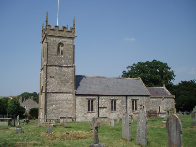
Church of St Peter, Marksbury

The Church of St Peter in Marksbury, Somerset, England dates from the 12th century, although most of the current fabric is from the 15th century and is...

Marksbury

Marksbury is a small village and civil parish on the eastern edge of the affluent Chew Valley in Somerset, about 4 miles (6.4 km) from Keynsham and 7 miles...

Nearby Amenities

Located within 500m of 51.350787,-2.4919596
Barrier: kissing_gate
Lat/Long: 51.3467977/-2.4927022
Barrier: kissing_gate
Lat/Long: 51.3484883/-2.4963172
Barrier: kissing_gate
Lat/Long: 51.3489475/-2.4976677
Barrier: kissing_gate
Lat/Long: 51.3514064/-2.4989024
Barrier: kissing_gate
Lat/Long: 51.3514723/-2.4990389
The data included in this document is from www.openstreetmap.org. The data is made available under ODbL.

Have you been to Marksbury Plain?

Leave your review of Marksbury Plain below (or comments, questions and feedback).