Harelaw Moor

Downs, Moorland in Berwickshire

Scotland

Harelaw Moor

Log pile near Wedderlie One of several in the area.
Log pile near Wedderlie Credit: M J Richardson

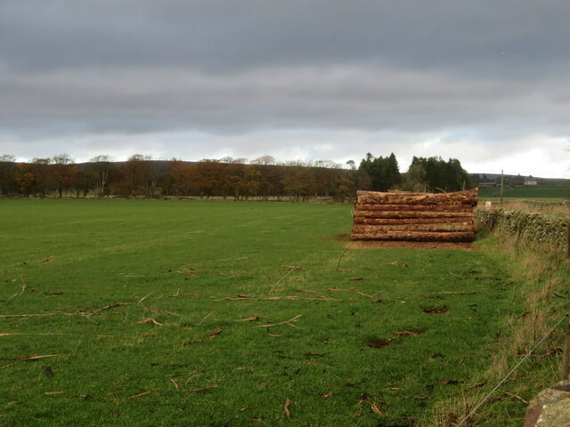
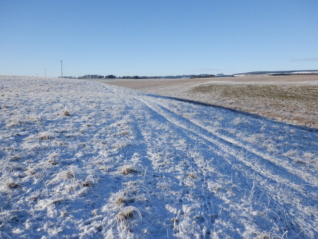
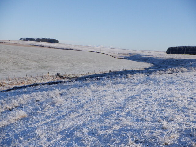
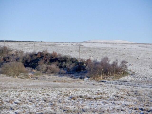
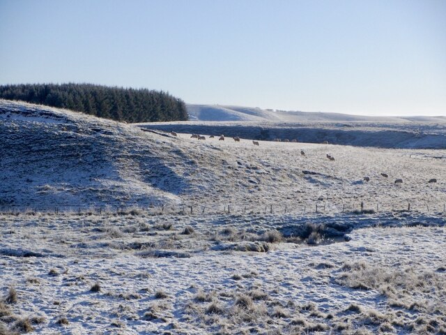
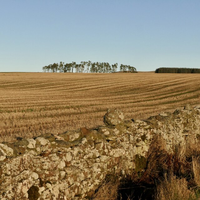
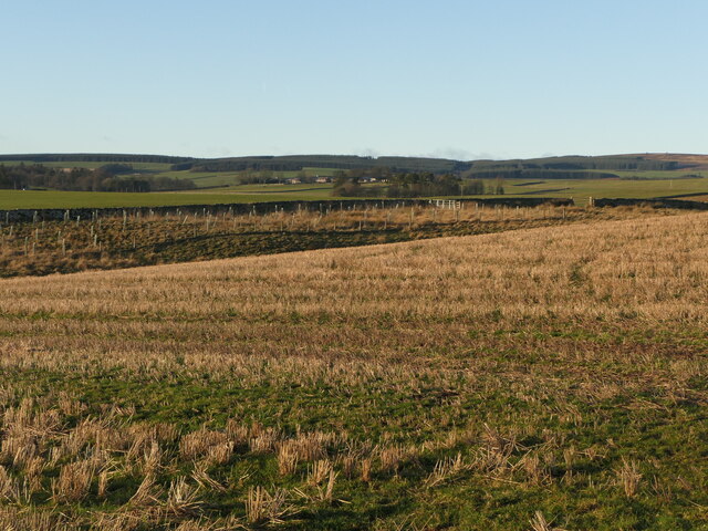
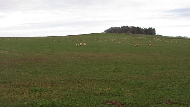
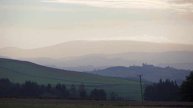
Harelaw Moor is a stunning expanse of downs and moorland located in Berwickshire, Scotland. Spread across an area of approximately 2,000 acres, it offers a diverse and picturesque landscape that attracts nature enthusiasts and hikers alike.

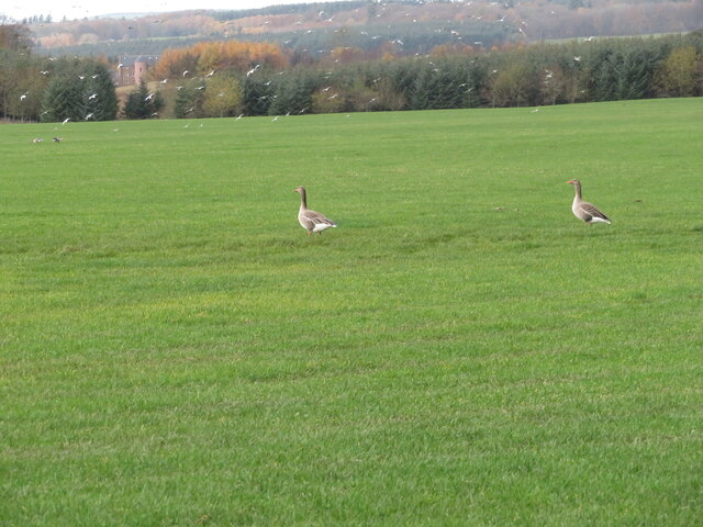
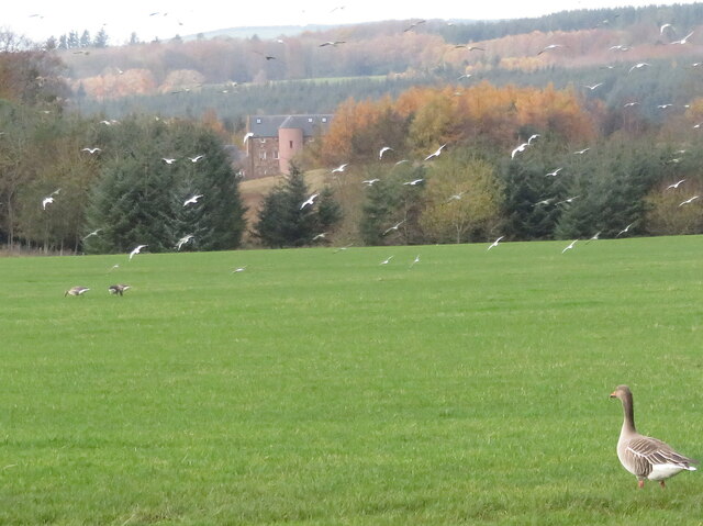
The moorland features undulating hills covered with heather, grasses, and scattered patches of woodland. This varied vegetation provides a home to a wide range of wildlife, including curlews, lapwings, red grouse, and other bird species. Keen birdwatchers can often spot these beautiful creatures soaring through the skies or nesting in the heather.

Harelaw Moor is also known for its historic features, such as ancient stone circles and burial mounds, which give visitors a glimpse into the area's rich past. These ancient remnants add an air of mystery and intrigue to the already captivating landscape.

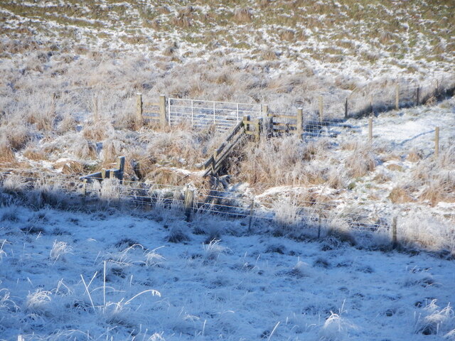
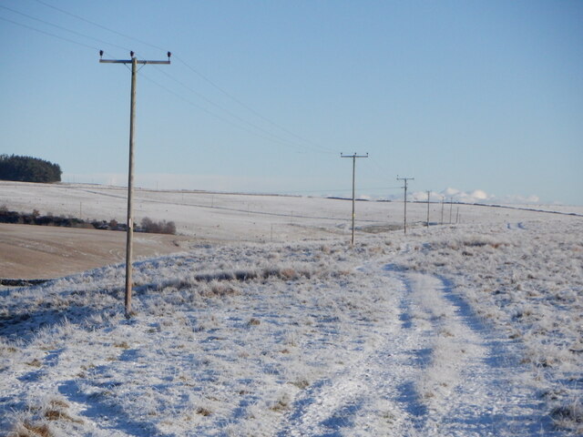
The moorland is crisscrossed by numerous walking trails and paths, allowing visitors to explore its beauty at their own pace. The trails range in difficulty, catering to both casual strollers and experienced hikers. Along the way, walkers can enjoy breathtaking views of the surrounding countryside, including rolling hills, distant mountains, and quaint villages.

Harelaw Moor is a tranquil and peaceful place, perfect for those seeking a break from the hustle and bustle of everyday life. Whether you are looking to immerse yourself in nature, discover ancient history, or simply enjoy a leisurely walk, Harelaw Moor offers an idyllic setting that never fails to impress.

If you have any feedback on the listing, please let us know in the comments section below.
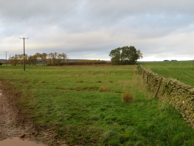
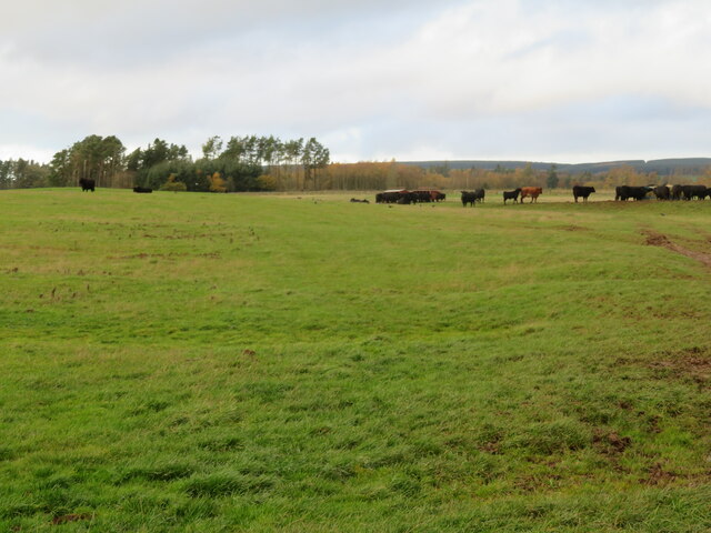
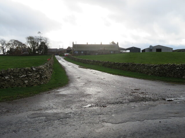
Harelaw Moor Images

Images are sourced within 2km of 55.733616/-2.545743 or Grid Reference NT6549. Thanks to Geograph Open Source API. All images are credited.

Log pile near Wedderlie One of several in the area.
Log pile near Wedderlie
One of several in the area.
Wedderlie farm sign With a fine black bull. The house is also a wedding venue.
Wedderlie farm sign
With a fine black bull. The house is also a wedding venue.
Good advice to sat. nav. dependants Sign at the junction of the road to Wedderlie farm with the B6456.
Good advice to sat. nav. dependants
Sign at the junction of the road to Wedderlie farm with the B6456.
Geese and gulls at Wedderlie Two of a small group of Greylag Geese in a pasture at Wedderlie. Part of a larger group further away, and a flock of disturbed gulls. At top left a large house is visible through the trees <a href="https://www.geograph.org.uk/photo/7338853">NT6450 : House in the trees, and a Greylag Goose</a>. I have not discovered its identity - it does not fit with pictures of Wedderlie House, but I can't think what else it could be.
Geese and gulls at Wedderlie
Two of a small group of Greylag Geese in a pasture at Wedderlie. Part of a larger group further away, and a flock of disturbed gulls. At top left a large house is visible through the trees NT6450 : House in the trees, and a Greylag Goose. I have not discovered its identity - it does not fit with pictures of Wedderlie House, but I can't think what else it could be.
House in the trees, and a Greylag Goose I have not been able to identify this house for certain. Wedderlie House is in the vicinity <a href="https://www.geograph.org.uk/photo/7338845">NT6450 : Geese and gulls at Wedderlie</a>, but I can't match the obvious rounded stair with images of Wedderlie. The goose is one of a small group grazing the grass.
House in the trees, and a Greylag Goose
I have not been able to identify this house for certain. Wedderlie House is in the vicinity NT6450 : Geese and gulls at Wedderlie, but I can't match the obvious rounded stair with images of Wedderlie. The goose is one of a small group grazing the grass.
Fields at Cammerlaws North of the B6456 and east of Westruther.
Fields at Cammerlaws
North of the B6456 and east of Westruther.
Grazing cattle at Cammerlaws With woodland beyond, mainly Birch.
Grazing cattle at Cammerlaws
With woodland beyond, mainly Birch.
Road to Cammerlaws farm A farm in the Lammermuir foothills, off the B6456.
Road to Cammerlaws farm
A farm in the Lammermuir foothills, off the B6456.
Farmland near Westruther Stubble north of the burn, rime covered rough grazing in the foreground.
Farmland near Westruther
Stubble north of the burn, rime covered rough grazing in the foreground.
Burn near Westruther As usual, not named by the Ordnance Survey, a headwater of the Blackadder Water. Along with the electric fences, quite a barrier.
Burn near Westruther
As usual, not named by the Ordnance Survey, a headwater of the Blackadder Water. Along with the electric fences, quite a barrier.
Fields near Cammerlaws
Power line on Harelaw Moor
Woodland, Hurdlaw
Woodland, Hurdlaw
Blackadder Water
Blackadder Water
Stubble, Hurd Law
Stubble, Hurd Law
Stubble and Evelaw Burn Arable land east of Westruther.
Stubble and Evelaw Burn
Arable land east of Westruther.
Hare Law A tree topped hill with grazing sheep. There are many electric fences here which suggests that cattle are also grazed here.
Hare Law
A tree topped hill with grazing sheep. There are many electric fences here which suggests that cattle are also grazed here.
Approaching warm front Heralding the next lot of rain and probably unpleasantly mild weather, The Cheviot <a href="https://www.geograph.org.uk/photo/279853">NT9020 : The Cheviot trig point</a> is streaming cloud.  An hour early the sky was almost cloudless and the earth frostbound. Now temperatures are rising, the sky going from milky to cloudy and cloud is condensing where air is forced to rise by the 800m high hill.
Hume Castle <a href="https://www.geograph.org.uk/photo/1467885">NT7041 : Hume Castle</a> is silhouetted against one of the distant hills.
Approaching warm front
Heralding the next lot of rain and probably unpleasantly mild weather, The Cheviot NT9020 : The Cheviot trig point is streaming cloud. An hour early the sky was almost cloudless and the earth frostbound. Now temperatures are rising, the sky going from milky to cloudy and cloud is condensing where air is forced to rise by the 800m high hill. Hume Castle NT7041 : Hume Castle is silhouetted against one of the distant hills.
Show me another place!

Harelaw Moor is located at Grid Ref: NT6549 (Lat: 55.733616, Lng: -2.545743)

Unitary Authority: The Scottish Borders

Police Authority: The Lothians and Scottish Borders

What 3 Words

///yachting.vision.sizes. Near Lauder, Scottish Borders

Related Wikis

Blackadder Water

Blackadder Water () is a river in Berwickshire in the Scottish Borders area of Scotland, forming part of the River Tweed system. It reached 2.84m at Mouthbridge...

Westruther

Westruther is a village on the B6465, in the Scottish Borders area of Scotland, on the lower slopes of the Lammermuir Hills, in the former Berwickshire...

Houndslow

Houndslow is a hamlet in the Scottish Borders area of Scotland. It is situated on the A697, about 5 miles (8.0 km) west of Greenlaw, and 3 miles (4.8 km...

Greenlaw Moor

Greenlaw Moor is an area of raised heather moorland in the foothills of the Lammermuir Hills, in the Scottish Borders area of Scotland. Located north of...

Have you been to Harelaw Moor?

Leave your review of Harelaw Moor below (or comments, questions and feedback).