Cammerlaw Wood

Wood, Forest in Berwickshire

Scotland

Cammerlaw Wood

Passivhaus development at Westruther A development of 10 houses being built to the 'Passivhaus' standard on Edgar Road.
Passivhaus development at Westruther Credit: M J Richardson

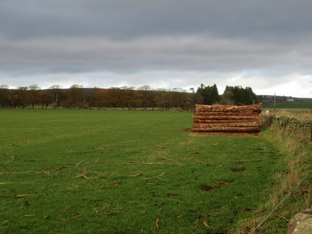
Cammerlaw Wood is a charming woodland located in Berwickshire, Scotland. Situated amidst the idyllic countryside, this forest covers an area of approximately 100 hectares. The wood is renowned for its diverse range of flora and fauna, making it a significant natural habitat in the region.

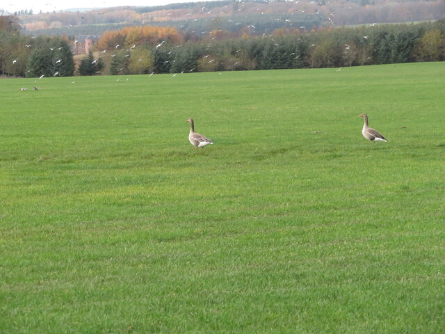
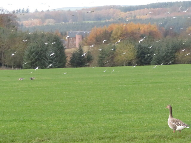
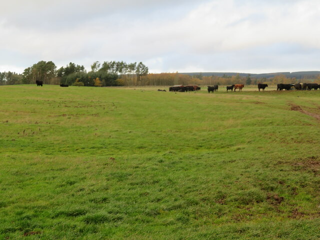
Comprised mainly of deciduous trees, Cammerlaw Wood boasts a stunning array of species, including oak, birch, and beech. These majestic trees create a dense canopy, which provides a sanctuary for an abundance of wildlife. Visitors to the wood can expect to encounter various animal species, such as red squirrels, roe deer, and a wide variety of birdlife.

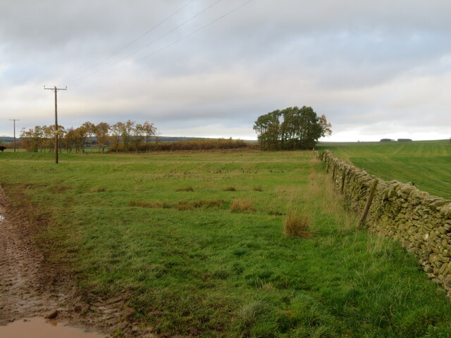
The wood offers a network of trails, allowing visitors to explore its beauty while immersing themselves in nature. These trails are well-maintained and provide an excellent opportunity for walking, hiking, and birdwatching. The wood's peaceful atmosphere and picturesque surroundings make it an ideal spot for nature enthusiasts, families, and those seeking tranquility.

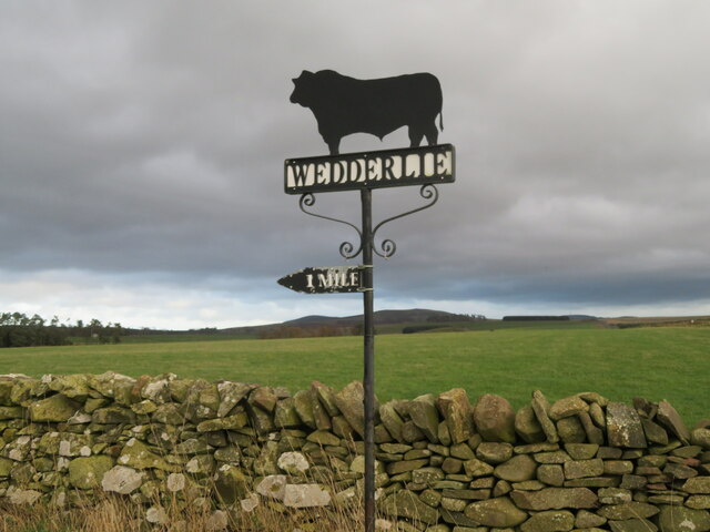
Cammerlaw Wood is easily accessible by car, with ample parking available nearby. The wood also benefits from being in close proximity to other attractions in Berwickshire, such as historic sites and charming villages. Additionally, the wood is a popular destination for educational visits, as it provides an opportunity for students to learn about the local ecosystem and conservation efforts.

Overall, Cammerlaw Wood is a natural gem in Berwickshire, offering a serene escape for nature lovers and providing a valuable habitat for a diverse range of plant and animal life.

If you have any feedback on the listing, please let us know in the comments section below.

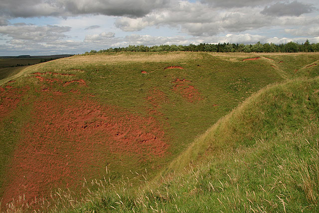
Cammerlaw Wood Images

Images are sourced within 2km of 55.740341/-2.5549312 or Grid Reference NT6549. Thanks to Geograph Open Source API. All images are credited.

Passivhaus development at Westruther A development of 10 houses being built to the 'Passivhaus' standard on Edgar Road.
Passivhaus development at Westruther
A development of 10 houses being built to the 'Passivhaus' standard on Edgar Road.
Passivhauses at Westruther A development of 10 houses being built to the 'Passivhaus' standard on Edgar Road. It was blowing a gale, and the noise made by the wind catching loose bits of material was very loud.
Passivhauses at Westruther
A development of 10 houses being built to the 'Passivhaus' standard on Edgar Road. It was blowing a gale, and the noise made by the wind catching loose bits of material was very loud.
Passivhauses at Westruther A development of 10 houses being built to the 'Passivhaus' standard on Edgar Road.
Passivhauses at Westruther
A development of 10 houses being built to the 'Passivhaus' standard on Edgar Road.
Passivhauses at Westruther Information about the building of 10 houses being built to the 'Passivhaus' standard on Edgar Road.
Passivhauses at Westruther
Information about the building of 10 houses being built to the 'Passivhaus' standard on Edgar Road.
Passivhaus development at Westruther Information about the pilot study of 10 houses being built to the 'Passivhaus' standard on Edgar Road.
Passivhaus development at Westruther
Information about the pilot study of 10 houses being built to the 'Passivhaus' standard on Edgar Road.
Passivhaus development at Westruther - FAQ Information of how tenants might live in houses being built to the 'Passivhaus' standard on Edgar Road.
Passivhaus development at Westruther - FAQ
Information of how tenants might live in houses being built to the 'Passivhaus' standard on Edgar Road.
Passivhaus at Westruther - FAQ Information of how tenants might live in houses being built to the 'Passivhaus' standard on Edgar Road.
Passivhaus at Westruther - FAQ
Information of how tenants might live in houses being built to the 'Passivhaus' standard on Edgar Road.
Edgar Road, Westruther With 10 Passivhaus dwellings being constructed on the left, opposite existing housing.
Edgar Road, Westruther
With 10 Passivhaus dwellings being constructed on the left, opposite existing housing.
Abandoned poultry enterprise [?], Westruther An apparently abandoned collection of eighty animal sheds and pens off The Loaning at Westruther. I can't think what else this might be. Richard Webb, in a nearby photo <a href="https://www.geograph.org.uk/photo/208824">NT6349 : Rearing pens, Westruther</a>, suggests there might be game rearing in the area.
Abandoned poultry enterprise [?], Westruther
An apparently abandoned collection of eighty animal sheds and pens off The Loaning at Westruther. I can't think what else this might be. Richard Webb, in a nearby photo NT6349 : Rearing pens, Westruther, suggests there might be game rearing in the area.
The Auld Kirk at Westruther Dating from 1649 <span class="nowrap"><a title="https://en.wikipedia.org/wiki/Westruther," rel="nofollow ugc noopener" href="https://en.wikipedia.org/wiki/Westruther,">Link</a><img style="margin-left:2px;" alt="External link" title="External link - shift click to open in new window" src="https://s1.geograph.org.uk/img/external.png" width="10" height="10"/></span> it was replaced by the 'New Kirk' in 1834.
The Auld Kirk at Westruther
Dating from 1649 LinkExternal link it was replaced by the 'New Kirk' in 1834.
Log pile near Wedderlie One of several in the area.
Log pile near Wedderlie
One of several in the area.
Wedderlie farm sign With a fine black bull. The house is also a wedding venue.
Wedderlie farm sign
With a fine black bull. The house is also a wedding venue.
Good advice to sat. nav. dependants Sign at the junction of the road to Wedderlie farm with the B6456.
Good advice to sat. nav. dependants
Sign at the junction of the road to Wedderlie farm with the B6456.
Geese and gulls at Wedderlie Two of a small group of Greylag Geese in a pasture at Wedderlie. Part of a larger group further away, and a flock of disturbed gulls. At top left a large house is visible through the trees <a href="https://www.geograph.org.uk/photo/7338853">NT6450 : House in the trees, and a Greylag Goose</a>. I have not discovered its identity - it does not fit with pictures of Wedderlie House, but I can't think what else it could be.
Geese and gulls at Wedderlie
Two of a small group of Greylag Geese in a pasture at Wedderlie. Part of a larger group further away, and a flock of disturbed gulls. At top left a large house is visible through the trees NT6450 : House in the trees, and a Greylag Goose. I have not discovered its identity - it does not fit with pictures of Wedderlie House, but I can't think what else it could be.
House in the trees, and a Greylag Goose I have not been able to identify this house for certain. Wedderlie House is in the vicinity <a href="https://www.geograph.org.uk/photo/7338845">NT6450 : Geese and gulls at Wedderlie</a>, but I can't match the obvious rounded stair with images of Wedderlie. The goose is one of a small group grazing the grass.
House in the trees, and a Greylag Goose
I have not been able to identify this house for certain. Wedderlie House is in the vicinity NT6450 : Geese and gulls at Wedderlie, but I can't match the obvious rounded stair with images of Wedderlie. The goose is one of a small group grazing the grass.
Fallago Rig Wind Farm Information about the large wind farm in the Lammermuir Hills. This sign is at the end of the public road at Wedderlie. The road to the wind farm bypasses the farm and continues over the Lammermuir Hills, over to the valley of the Dye Water <a href="https://www.geograph.org.uk/photo/6596737">NT6358 : Bridge over the Dye Water</a>.
Fallago Rig Wind Farm
Information about the large wind farm in the Lammermuir Hills. This sign is at the end of the public road at Wedderlie. The road to the wind farm bypasses the farm and continues over the Lammermuir Hills, over to the valley of the Dye Water NT6358 : Bridge over the Dye Water.
Fields at Cammerlaws North of the B6456 and east of Westruther.
Fields at Cammerlaws
North of the B6456 and east of Westruther.
Grazing cattle at Cammerlaws With woodland beyond, mainly Birch.
Grazing cattle at Cammerlaws
With woodland beyond, mainly Birch.
Show me another place!

Cammerlaw Wood is located at Grid Ref: NT6549 (Lat: 55.740341, Lng: -2.5549312)

Unitary Authority: The Scottish Borders

Police Authority: The Lothians and Scottish Borders

What 3 Words

///husbands.stretcher.qualified. Near Lauder, Scottish Borders

Related Wikis

Related Videos

07 - Wedderlie House Video Tour, Gordon, Scottish Borders

In this video we take you on a guided tour of the amazing Wedderlie House Wedding Venue, located just a short drive south of ...

Stonemason and bricklayer show how to lay slabs PROPERLY.

As you can see in the video, we have some houses half built. These will be coming down and the residents in the houses were ...

Loch Lomond, When in Scotland…🏴󠁧󠁢󠁳󠁣󠁴󠁿🎶👰‍♀️🤵‍♂️#scottishwedding #lochlomond #runrig #shorts

Loch Lomond, when in Scotland right? Well this particular night we aso had a band out at another Scottish wedding in East ...

Nearby Amenities

Located within 500m of 55.740341,-2.5549312
Power: pole
Lat/Long: 55.7413519/-2.5618136
Power: pole
Lat/Long: 55.7414636/-2.5606199
Power: pole
Lat/Long: 55.74169/-2.5595968
Power: pole
Lat/Long: 55.7419178/-2.5585355
Power: pole
Lat/Long: 55.742147/-2.5574335
Power: pole
Lat/Long: 55.7421656/-2.5561889
Power: pole
Lat/Long: 55.7421886/-2.5549444
Power: pole
Lat/Long: 55.7422086/-2.5536871
Power: pole
Lat/Long: 55.7422258/-2.5524324
Power: pole
Lat/Long: 55.7422444/-2.5511776
Power: pole
Lat/Long: 55.742412/-2.5498211
Power: pole
Lat/Long: 55.7425768/-2.5484519
The data included in this document is from www.openstreetmap.org. The data is made available under ODbL.

Have you been to Cammerlaw Wood?

Leave your review of Cammerlaw Wood below (or comments, questions and feedback).