Boggyhall Wood
Wood, Forest in Roxburghshire
Scotland
Boggyhall Wood
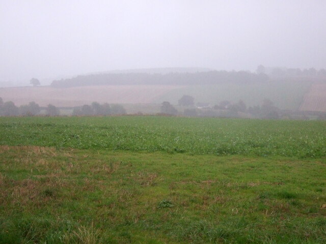
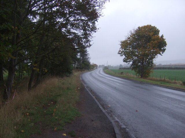
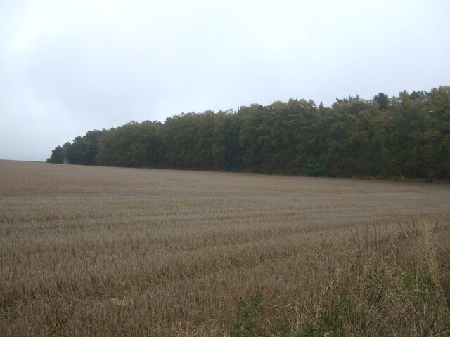
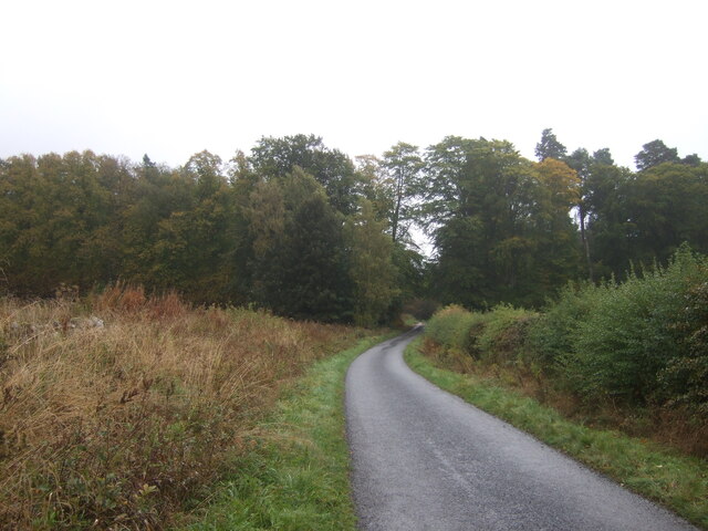
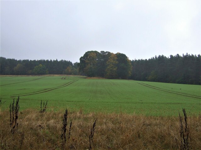
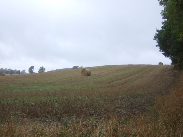
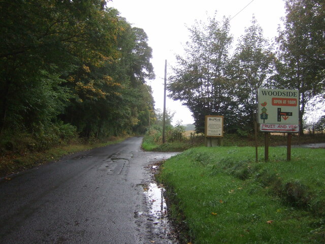
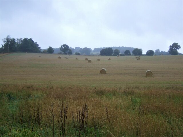
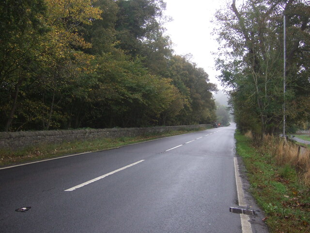
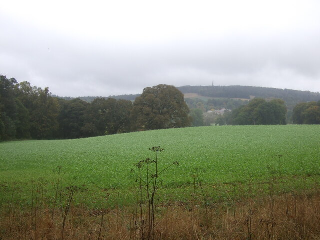
Boggyhall Wood is a picturesque forest located in Roxburghshire, a historic county in the Scottish Borders region of Scotland. Nestled amidst rolling hills and lush countryside, this enchanting woodland covers an area of approximately 100 hectares.
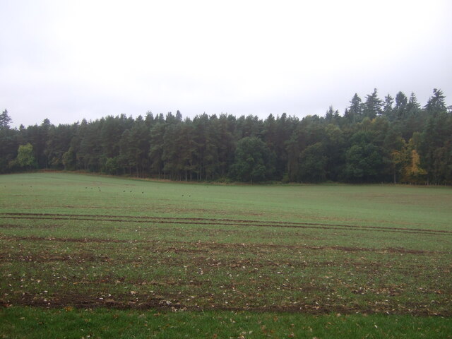
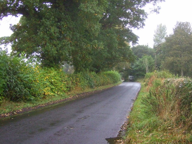
The wood is predominantly made up of native broadleaf trees, including oak, birch, and hazel, creating a diverse and vibrant ecosystem. The dense canopy provides a haven for a wide range of wildlife, including red squirrels, badgers, and a variety of bird species.
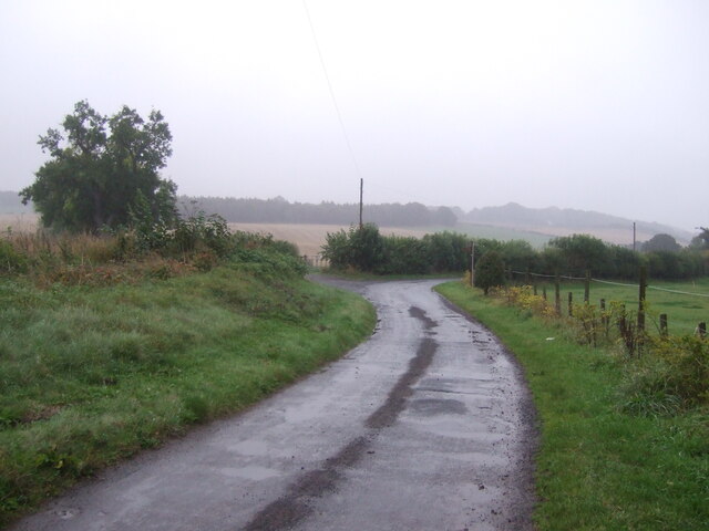
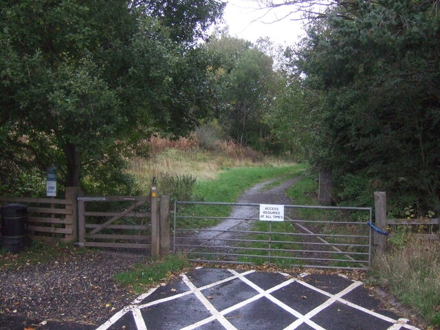
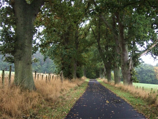
Tranquil walking trails wind their way through the wood, offering visitors the opportunity to immerse themselves in the natural beauty of the surroundings. The paths are well-maintained and accessible, making it an ideal destination for nature enthusiasts, hikers, and families alike.
One of the notable features of Boggyhall Wood is its boggy terrain, which is unique to the area. The wetland areas are home to a rich variety of plant species, including sphagnum moss and carnivorous sundew plants. This diverse habitat attracts an array of insects and amphibians, such as dragonflies and frogs.
The wood is also steeped in history, with archaeological evidence suggesting human activity in the area dating back thousands of years. Ancient remains, including standing stones and cairns, can still be found within the woodland, adding an intriguing element to any visit.
Overall, Boggyhall Wood offers a tranquil escape into nature, where visitors can explore its diverse flora and fauna, enjoy peaceful walks, and connect with the rich history of the area.
If you have any feedback on the listing, please let us know in the comments section below.
Boggyhall Wood Images
Images are sourced within 2km of 55.517068/-2.5517837 or Grid Reference NT6524. Thanks to Geograph Open Source API. All images are credited.
Boggyhall Wood is located at Grid Ref: NT6524 (Lat: 55.517068, Lng: -2.5517837)
Unitary Authority: The Scottish Borders
Police Authority: The Lothians and Scottish Borders
What 3 Words
///move.whisk.blank. Near Jedburgh, Scottish Borders
Nearby Locations
Related Wikis

Monteviot House
Monteviot House is the early 18th century home of the Marquess of Lothian, the politician better known as Michael Ancram. It is located on the River Teviot...

Jed Water
The Jed Water is a river and a tributary of the River Teviot in the Borders region of Scotland. In total the Jed Water is over 21.75 miles (35.00 km) long...

Jedfoot railway station
Jedfoot railway station served the town of Jedburgh, Scottish Borders, Scotland from 1856 to 1948 on the Jedburgh Railway. == History == The station opened...

Peniel Heugh
Peniel Heugh (237 m) is a hill near Ancrum and Nisbet in the Scottish Borders area of Scotland. On it stands the Waterloo Monument. == Geology == The heugh...

Waterloo Monument
The Waterloo Monument near Ancrum in the Scottish Borders is a 150-foot tower, built between 1817 and 1824 to commemorate the Battle of Waterloo. It was...

Bonjedward
Bonjedward (Scottish Gaelic: Bun Jedward) is a hamlet in the Scottish Borders area of Scotland, two miles north of Jedburgh where the Jed Water joins the...

Nisbet railway station
Nisbet railway station served the hamlet of Nisbet, Scottish Borders, Scotland from 1856 to 1948, on the Jedburgh Railway. == History == The station opened...

Nisbet, Scottish Borders
Nisbet is a small hamlet on the B6400, in Roxburghshire, along the River Teviot, in the Scottish Borders area of Scotland. It is located 5.5 kilometres...
Nearby Amenities
Located within 500m of 55.517068,-2.5517837Have you been to Boggyhall Wood?
Leave your review of Boggyhall Wood below (or comments, questions and feedback).