Stratton Moor
Downs, Moorland in Somerset Mendip
England
Stratton Moor
Stratton Moor, located in Somerset, England, is a picturesque area characterized by its scenic downs and expansive moorland. Stretching across approximately 10 square miles, this vast natural landscape offers visitors a unique and diverse experience.
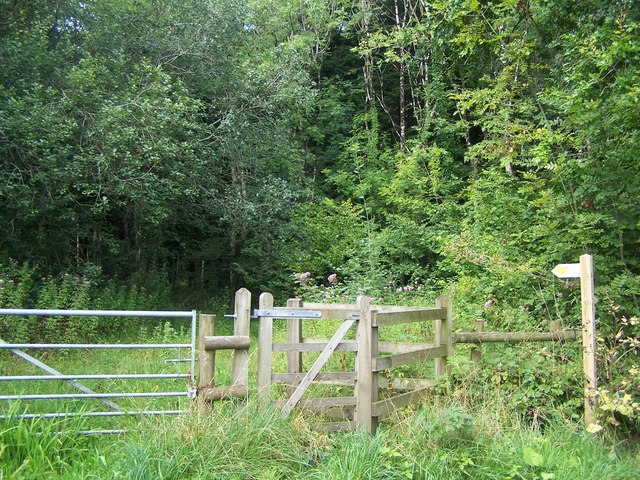
The downs of Stratton Moor provide visitors with stunning panoramic views of the surrounding countryside. These rolling hills are covered in lush green grass and dotted with vibrant wildflowers during the warmer months. A network of well-maintained footpaths and bridleways crisscrosses the downs, making it an ideal destination for hikers, walkers, and horse riders.
The moorland of Stratton Moor showcases a contrasting landscape, characterized by open spaces, heather-covered hills, and peat bogs. This wild and untamed area is home to various species of birds, including skylarks and buzzards, making it a haven for birdwatchers and nature enthusiasts.
Stratton Moor also boasts a rich history, with evidence of human habitation dating back to prehistoric times. The moor is home to ancient burial mounds, known as barrows, and other archaeological sites. Visitors can explore these sites and learn about the area's fascinating past.
For those seeking tranquility and a break from the hustle and bustle of everyday life, Stratton Moor offers a peaceful retreat. The untouched beauty of this natural landscape, combined with its historical significance, makes it a must-visit destination for anyone exploring Somerset.
If you have any feedback on the listing, please let us know in the comments section below.
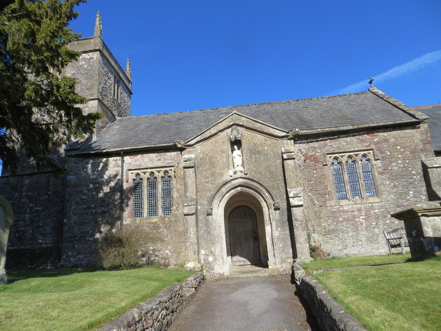
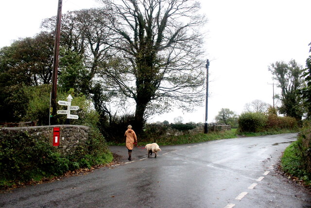
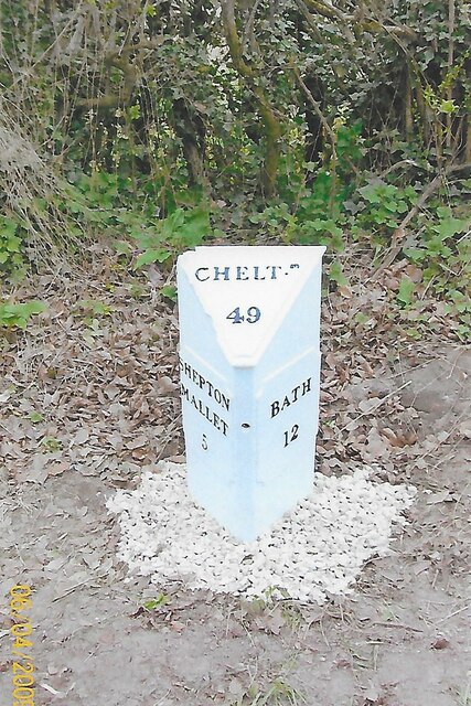
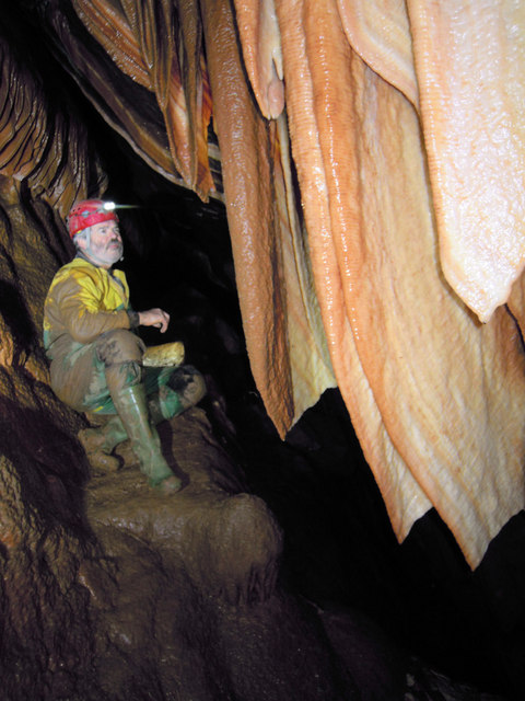
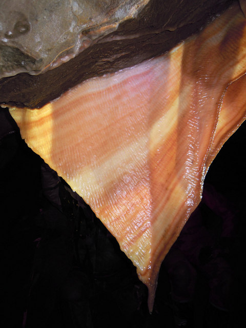
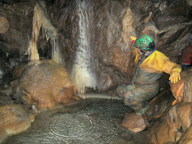
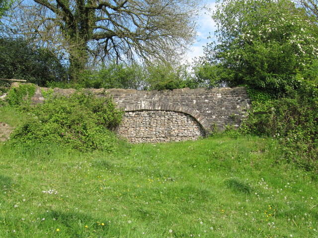
Stratton Moor Images
Images are sourced within 2km of 51.237556/-2.4910654 or Grid Reference ST6548. Thanks to Geograph Open Source API. All images are credited.


Stratton Moor is located at Grid Ref: ST6548 (Lat: 51.237556, Lng: -2.4910654)
Administrative County: Somerset
District: Mendip
Police Authority: Avon and Somerset
What 3 Words
///meatballs.scans.squad. Near Chilcompton, Somerset
Nearby Locations
Related Wikis

Edford Woods and Meadows
Edford Woods and Meadows (grid reference ST665485) is a 54.3 hectare (134.1 acre) biological Site of Special Scientific Interest, between Nettlebridge...

Harridge Wood
Harridge Wood is an area of woodland in Somerset, England. From about 1300 AD part of the wood was the scene of coal mining, which continued until around...

W/L Cave
W/L Cave is part of the Fairy Cave Quarry group of caves between Stoke St Michael and Oakhill in the limestone of the Mendip Hills, in Somerset, England...

Balch Cave
Balch Cave (grid reference ST65734753) is a cave in Fairy Cave Quarry, near Stoke St Michael in the limestone of the Mendip Hills, in Somerset, England...

Hillier's Cave
Hillier's Cave (grid reference ST65734753) is a cave in Fairy Cave Quarry, near Stoke St Michael in the limestone of the Mendip Hills, in Somerset, England...
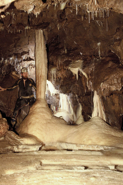
Shatter Cave
Shatter Cave is a cave in Fairy Cave Quarry, near Stoke St Michael in the limestone of the Mendip Hills, in Somerset, England. It falls within the St....

Fairy Cave Quarry
Fairy Cave Quarry (grid reference ST65734753) is between Stoke St Michael and Oakhill in the limestone of the Mendip Hills, in Somerset, England. Quarrying...
Cook's Wood Quarry
Cook's Wood Quarry also known as Holcombe Quarry (grid reference ST669479) is a 0.8-hectare (2.0-acre) geological Site of Special Scientific Interest near...
Nearby Amenities
Located within 500m of 51.237556,-2.4910654Have you been to Stratton Moor?
Leave your review of Stratton Moor below (or comments, questions and feedback).