Harridge Wood
Wood, Forest in Somerset Mendip
England
Harridge Wood
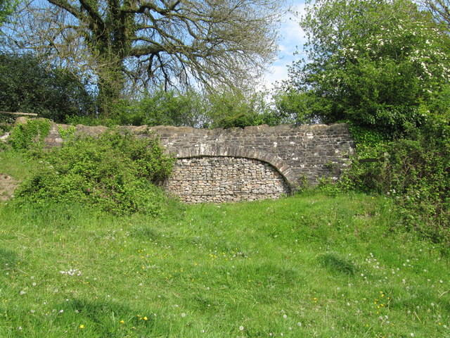
Harridge Wood is a picturesque woodland area located in Somerset, England. Situated near the village of Harridge, this charming forest is a haven for nature enthusiasts and those seeking a peaceful retreat from the hustle and bustle of everyday life.
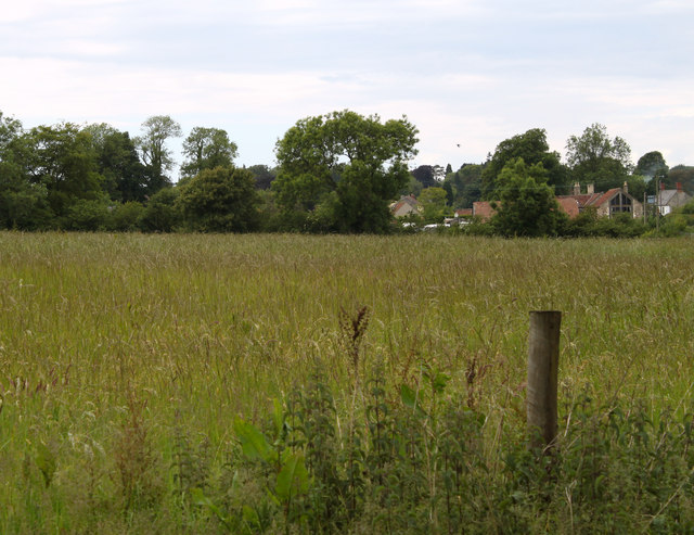
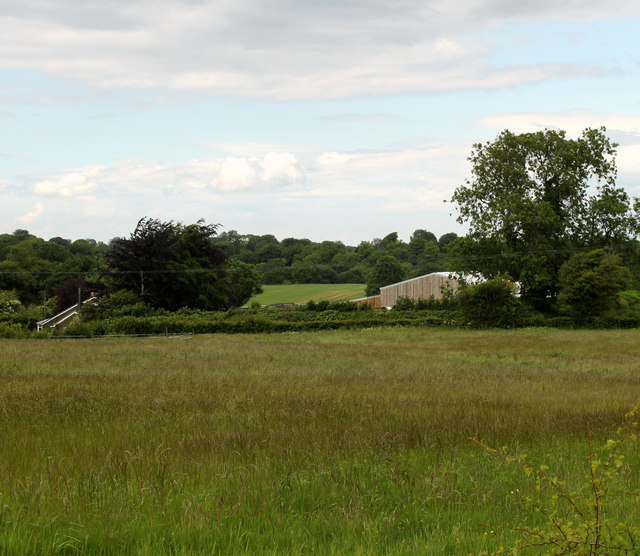
Covering an area of approximately 100 acres, Harridge Wood is home to a diverse range of flora and fauna. The woodland is primarily composed of native tree species, including oak, beech, and birch, which create a dense canopy that provides shade and shelter for a variety of wildlife.
Visitors to Harridge Wood can explore the numerous walking trails that wind through the forest, offering a chance to immerse themselves in the beauty of nature. The paths are well-maintained and suitable for all ages and fitness levels, making it an ideal destination for family outings or solo adventures.
The woodland is also renowned for its rich biodiversity. Birdwatchers can spot a plethora of feathered friends, including woodpeckers, owls, and various songbirds. Additionally, squirrels, rabbits, and foxes can often be seen darting among the trees, adding to the enchanting atmosphere of the wood.
Harridge Wood is not only a place of natural beauty but also of historical significance. The forest has been designated as a Site of Special Scientific Interest (SSSI), recognizing its importance as a habitat for rare and endangered species.
Overall, Harridge Wood offers a tranquil escape into the heart of nature, providing a sanctuary for both wildlife and visitors alike.
If you have any feedback on the listing, please let us know in the comments section below.
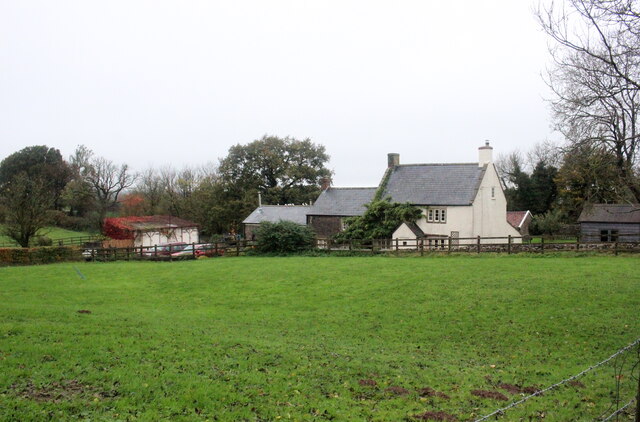
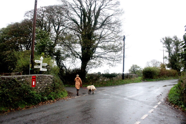
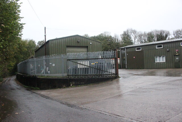
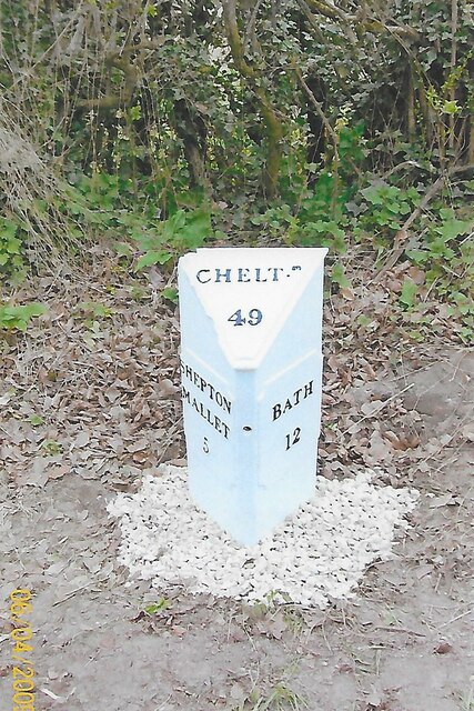
Harridge Wood Images
Images are sourced within 2km of 51.231264/-2.5011099 or Grid Reference ST6548. Thanks to Geograph Open Source API. All images are credited.


Harridge Wood is located at Grid Ref: ST6548 (Lat: 51.231264, Lng: -2.5011099)
Administrative County: Somerset
District: Mendip
Police Authority: Avon and Somerset
What 3 Words
///decoded.mouths.equity. Near Chilcompton, Somerset
Nearby Locations
Related Wikis

Harridge Wood
Harridge Wood is an area of woodland in Somerset, England. From about 1300 AD part of the wood was the scene of coal mining, which continued until around...

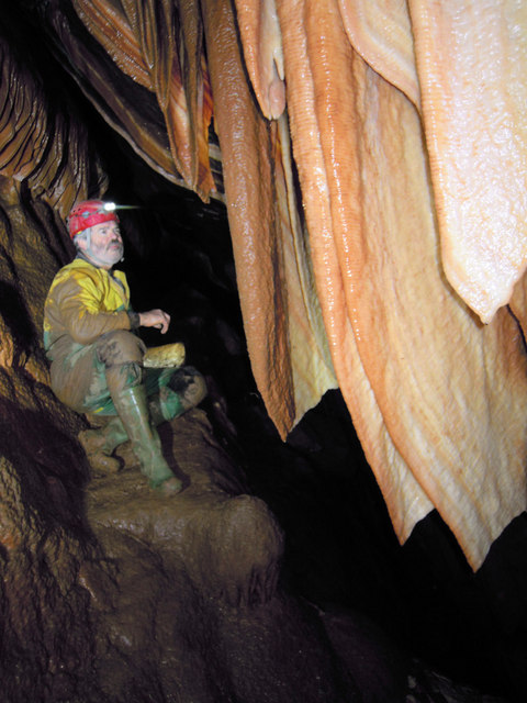
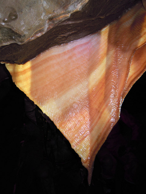
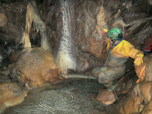
W/L Cave
W/L Cave is part of the Fairy Cave Quarry group of caves between Stoke St Michael and Oakhill in the limestone of the Mendip Hills, in Somerset, England...

Balch Cave
Balch Cave (grid reference ST65734753) is a cave in Fairy Cave Quarry, near Stoke St Michael in the limestone of the Mendip Hills, in Somerset, England...

Hillier's Cave
Hillier's Cave (grid reference ST65734753) is a cave in Fairy Cave Quarry, near Stoke St Michael in the limestone of the Mendip Hills, in Somerset, England...
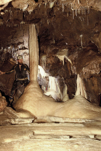
Shatter Cave
Shatter Cave is a cave in Fairy Cave Quarry, near Stoke St Michael in the limestone of the Mendip Hills, in Somerset, England. It falls within the St....

Fairy Cave Quarry
Fairy Cave Quarry (grid reference ST65734753) is between Stoke St Michael and Oakhill in the limestone of the Mendip Hills, in Somerset, England. Quarrying...

Ashwick
Ashwick is a village in Somerset, England, about three miles north of Shepton Mallet and seven miles east from Wells. It has also been a civil parish since...

Edford Woods and Meadows
Edford Woods and Meadows (grid reference ST665485) is a 54.3 hectare (134.1 acre) biological Site of Special Scientific Interest, between Nettlebridge...
Nearby Amenities
Located within 500m of 51.231264,-2.5011099Have you been to Harridge Wood?
Leave your review of Harridge Wood below (or comments, questions and feedback).