Hungerford Bottom
Valley in Somerset
England
Hungerford Bottom
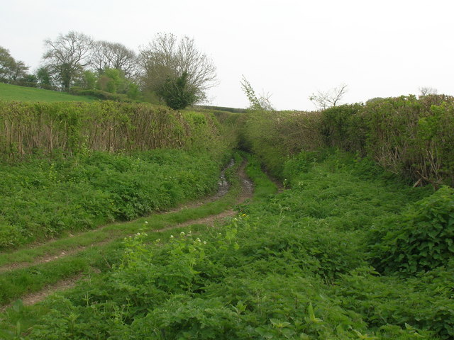
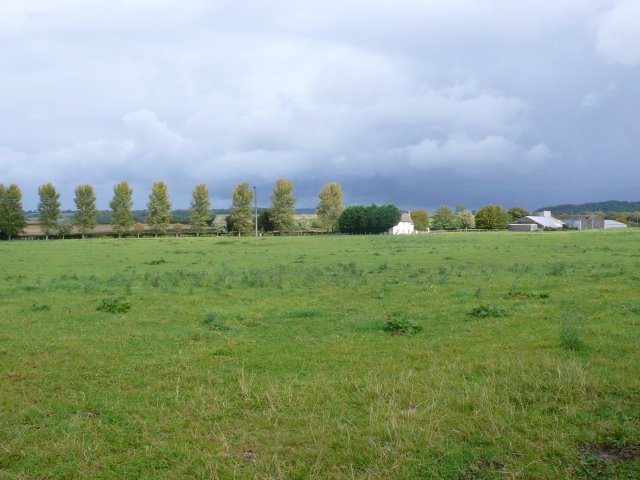
Hungerford Bottom is a picturesque valley located in Somerset, England. Nestled amidst the rolling hills of the Mendips, this tranquil countryside setting offers visitors a peaceful retreat from the hustle and bustle of city life.
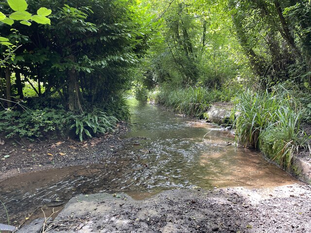
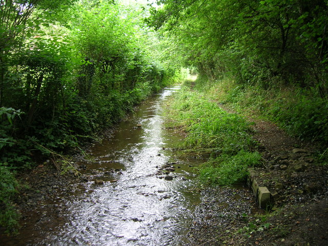
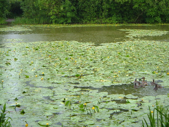
The valley is characterized by its lush green meadows, scenic woodlands, and meandering waterways. The River Chew flows through Hungerford Bottom, adding to its natural charm and providing a habitat for various species of flora and fauna.
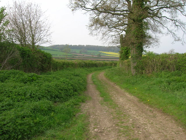
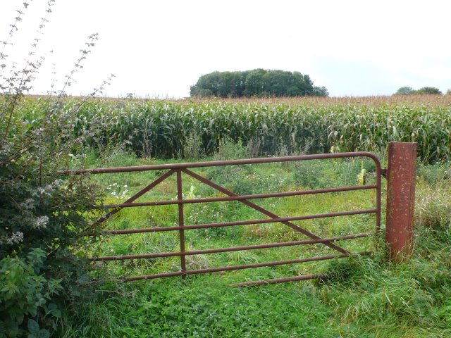
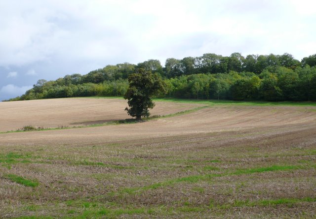
Hungerford Bottom is a popular destination for nature lovers and outdoor enthusiasts. The valley offers numerous walking trails, allowing visitors to explore its stunning landscapes and enjoy breathtaking panoramic views. The area is also home to an abundance of wildlife, including birds, mammals, and insects, making it an ideal spot for birdwatching and nature photography.
In addition to its natural beauty, Hungerford Bottom is steeped in history. The valley is dotted with ancient monuments and archaeological sites, such as burial mounds and Roman remains, providing a glimpse into its rich past. History enthusiasts can delve into the area's fascinating heritage through guided tours and informative exhibitions.
For those seeking a serene escape, Hungerford Bottom offers a range of accommodation options, including cozy cottages and charming bed and breakfasts. Visitors can also indulge in delicious local cuisine at the nearby country pubs and restaurants, which showcase the region's finest produce.
Overall, Hungerford Bottom is a hidden gem in Somerset, offering a blend of natural beauty, historical significance, and a tranquil environment, making it a must-visit destination for anyone seeking a peaceful and rejuvenating experience.
If you have any feedback on the listing, please let us know in the comments section below.
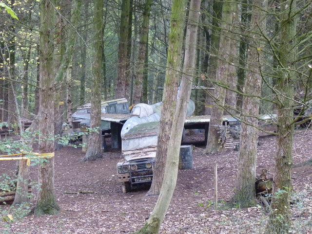
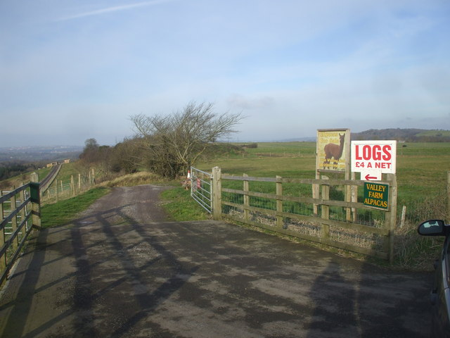
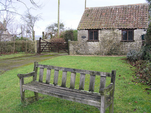
Hungerford Bottom Images
Images are sourced within 2km of 51.355429/-2.495657 or Grid Reference ST6561. Thanks to Geograph Open Source API. All images are credited.


Hungerford Bottom is located at Grid Ref: ST6561 (Lat: 51.355429, Lng: -2.495657)
Unitary Authority: Bath and North East Somerset
Police Authority: Avon and Somerset
What 3 Words
///tram.swordfish.display. Near Compton Dando, Somerset
Nearby Locations
Related Wikis
Hunstrete
Hunstrete (grid reference ST625643) is a small village on the River Chew in the Chew Valley, Bath and North East Somerset, England. It falls within the...
Hunstrete Lake
Hunstrete Lake (grid reference ST646622) is a mature lake of 5 acres (20,000 m2). Two new lakes of 3.5 acres (14,000 m2) were constructed alongside in...

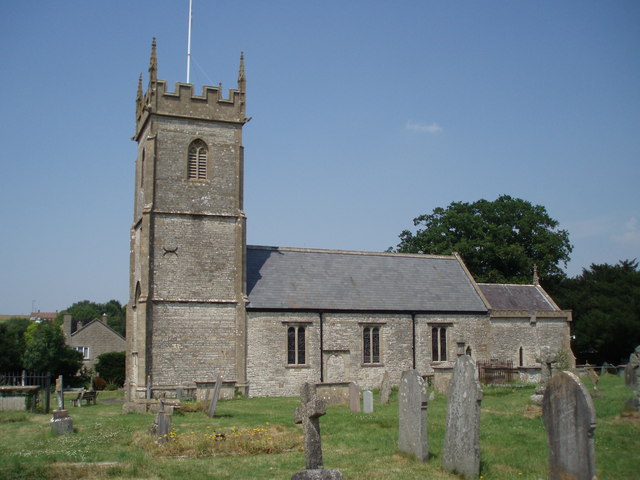
Church of St Peter, Marksbury
The Church of St Peter in Marksbury, Somerset, England dates from the 12th century, although most of the current fabric is from the 15th century and is...
Marksbury
Marksbury is a small village and civil parish on the eastern edge of the affluent Chew Valley in Somerset, about 4 miles (6.4 km) from Keynsham and 7 miles...
Church of All Saints, Farmborough
The Church of All Saints is an Anglican parish church in Farmborough, Somerset, England. It was principally built in the 15th century (with parts dating...
Farmborough
Farmborough is a small village and civil parish, 6 miles (9.7 km) south west of Bath in Somerset, England. It straddles both the A39 and A368 roads. The...

Chelwood
Chelwood is a small village and civil parish in Somerset, England, and is in the affluent Chew Valley in the Bath and North East Somerset council area...
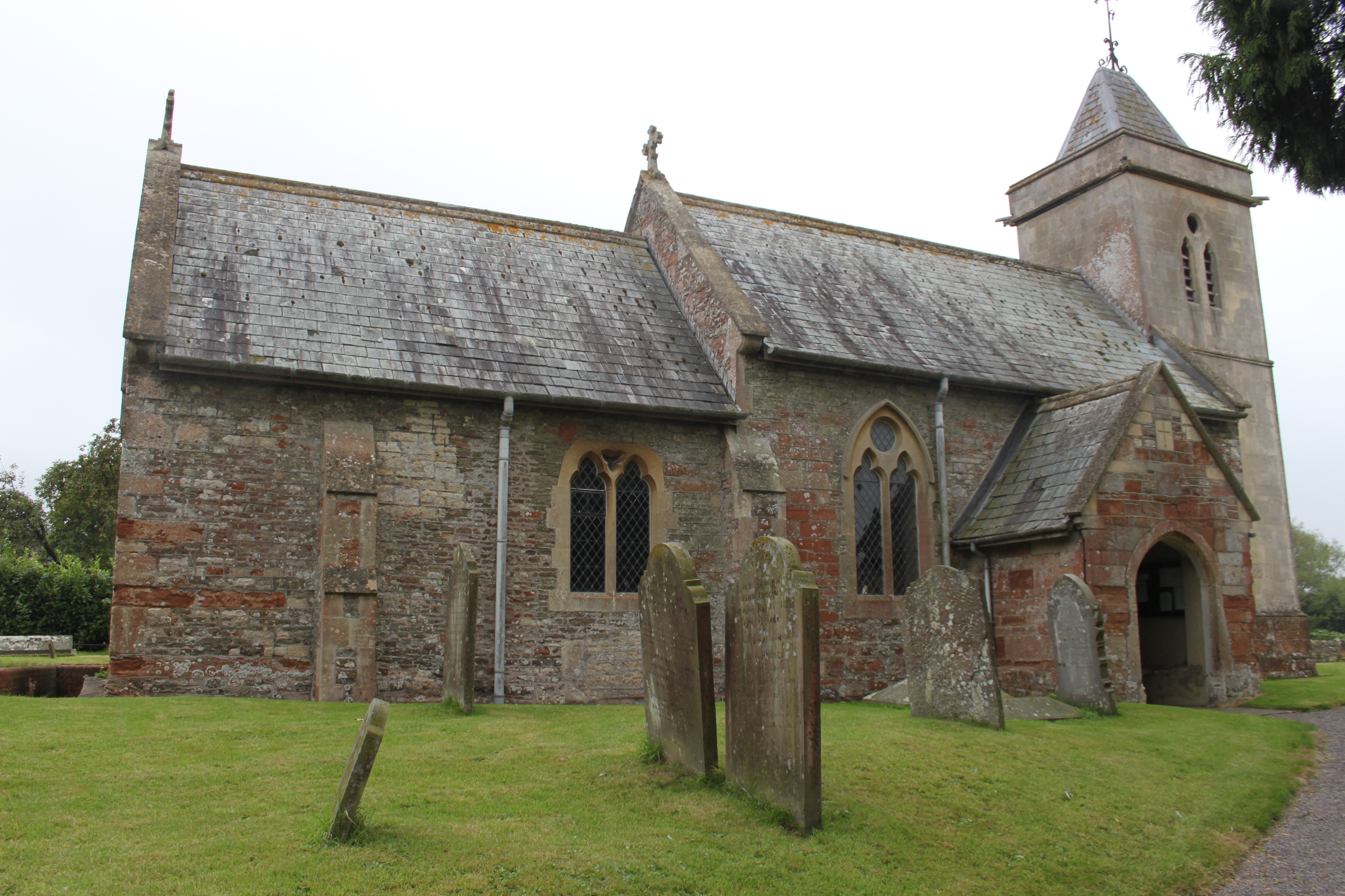
Church of St Leonard, Chelwood
The Church of St Leonard is a redundant church in Chelwood, Somerset, England. It was built in the 14th century and has been designated as a Grade II...
Nearby Amenities
Located within 500m of 51.355429,-2.495657Have you been to Hungerford Bottom?
Leave your review of Hungerford Bottom below (or comments, questions and feedback).