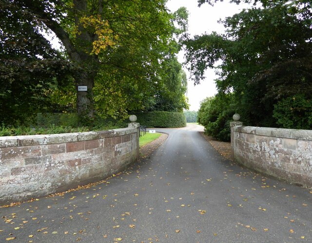
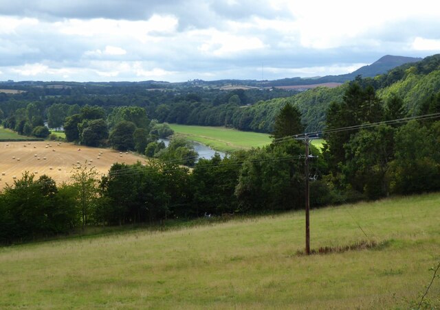
The Meadow
Downs, Moorland in Roxburghshire
Scotland
The Meadow
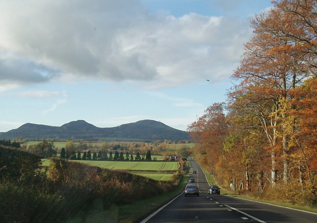
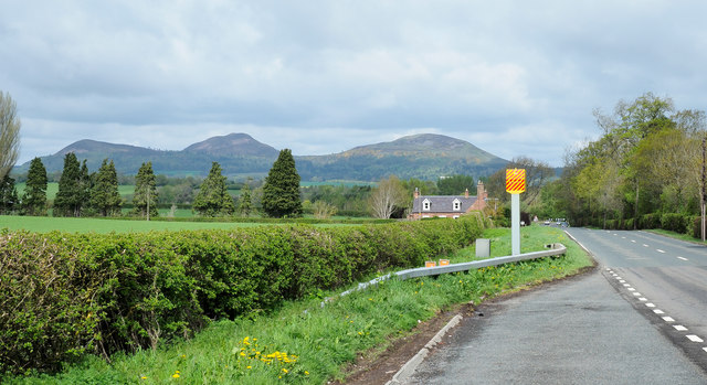
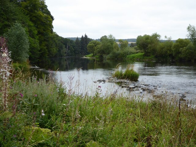
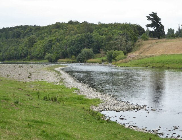
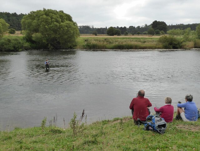
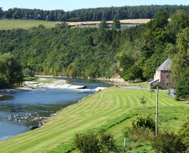
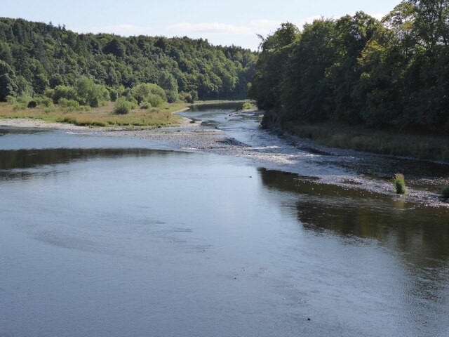
The Meadow, located in Roxburghshire, is a picturesque region known for its vast expanse of downs and moorland. Situated in the Scottish Borders, this area offers visitors a unique and diverse landscape, characterized by rolling hills, open grasslands, and heather-covered moors.
Covering several square miles, The Meadow is home to a variety of flora and fauna, making it a haven for nature enthusiasts. The downs, with their gently sloping hills, are adorned with colorful wildflowers during the warmer months, creating a vibrant tapestry of colors. This lush vegetation provides a habitat for a wide range of bird species, making it a popular spot for birdwatching.
The moorland, on the other hand, offers a more rugged terrain, with its heather-clad hills and peat bogs. This unique habitat supports a host of wildlife, including red grouse, curlews, and various species of butterflies. The moors are also home to several ancient archaeological sites, such as stone circles and cairns, adding a touch of history and intrigue to the landscape.
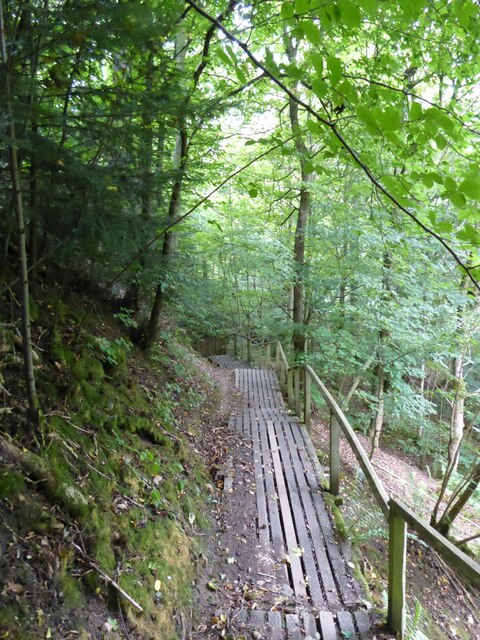
Visitors to The Meadow can explore the area through a network of well-maintained walking trails, allowing them to experience the beauty of the downs and moorland up close. Additionally, there are opportunities for horseback riding and cycling, catering to outdoor enthusiasts of all kinds.
Whether it's the tranquility of the downs or the rugged beauty of the moorland, The Meadow in Roxburghshire offers a captivating natural setting, making it a must-visit destination for those seeking a serene escape amidst Scotland's breathtaking scenery.
If you have any feedback on the listing, please let us know in the comments section below.
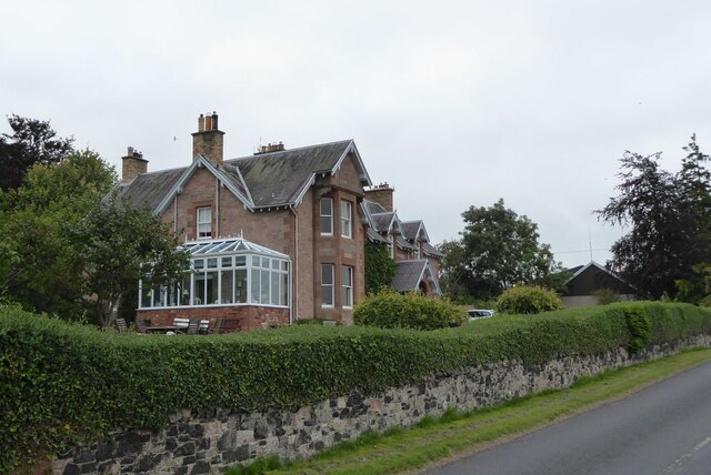
The Meadow Images
Images are sourced within 2km of 55.571664/-2.635237 or Grid Reference NT6031. Thanks to Geograph Open Source API. All images are credited.
The Meadow is located at Grid Ref: NT6031 (Lat: 55.571664, Lng: -2.635237)
Unitary Authority: The Scottish Borders
Police Authority: The Lothians and Scottish Borders
What 3 Words
///summit.nearing.goggle. Near Saint Boswells, Scottish Borders
Nearby Locations
Related Wikis

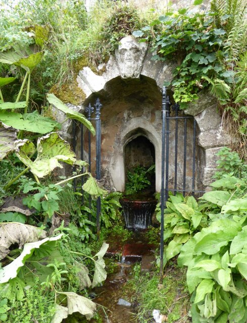
Greycrook
Greycrook is a village off the A68 and the A699 in the Scottish Borders, approximately 500 m (550 yd) south-east of St Boswells, and close to Dryburgh...

St Boswells
St Boswells (Scots: Bosels / Bosells; Scottish Gaelic: Cille Bhoisil [ˈçiʎəˈvɔʃɪl]) is a village on the south side of the River Tweed in the Scottish Borders...

Fat Lips
Fat Lips (or Fatlips) is the name given to a legendary spirit dwelling in Dryburgh Abbey in Berwickshire, Scotland. The spirit was associated with a hermit...

Dryburgh Abbey
Dryburgh Abbey, near Dryburgh on the banks of the River Tweed in the Scottish Borders, was nominally founded on 10 November (Martinmas) 1150 in an agreement...
Nearby Amenities
Located within 500m of 55.571664,-2.635237Have you been to The Meadow?
Leave your review of The Meadow below (or comments, questions and feedback).