The Pot
Lake, Pool, Pond, Freshwater Marsh in Roxburghshire
Scotland
The Pot
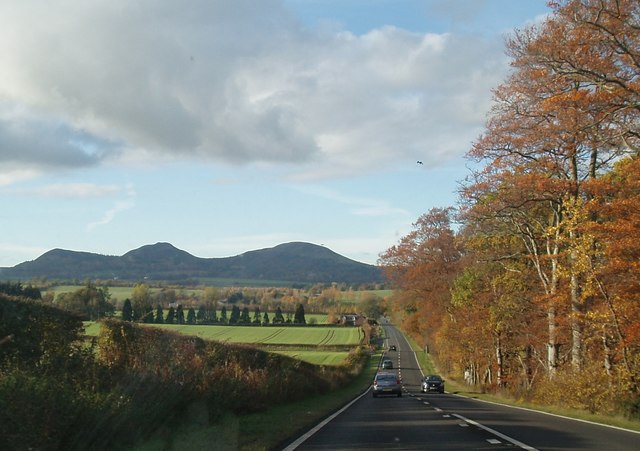
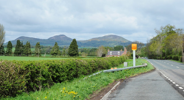
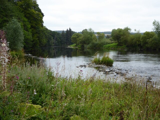
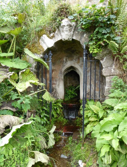
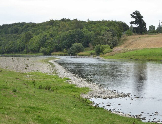
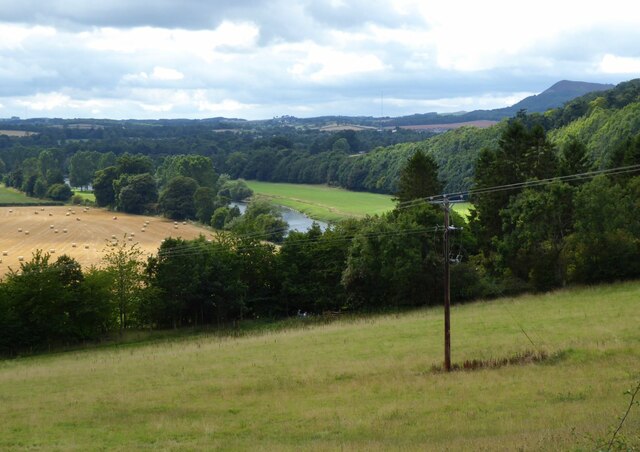
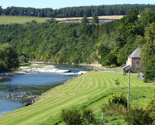
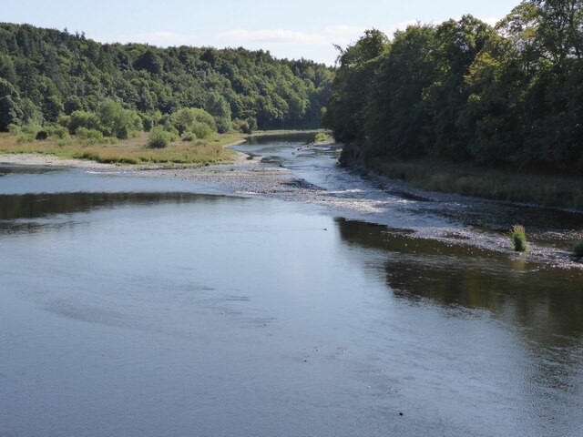
The Pot, located in Roxburghshire, is a picturesque freshwater marsh that serves as a lake, pool, and pond. Spanning approximately 10 acres, this natural wonder is a haven for wildlife and a popular spot for nature enthusiasts. Surrounded by lush greenery and rolling hills, The Pot is a serene and tranquil oasis.
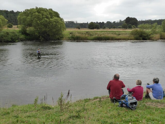
The Pot offers a diverse range of aquatic habitats, making it an ideal environment for a wide variety of plant and animal species. The calm, still waters of the lake provide a peaceful home for numerous waterfowl, including ducks, swans, and geese, while the surrounding vegetation attracts an array of songbirds. The marshy areas are teeming with life, with frogs, newts, and dragonflies making their home among the reeds and grasses.
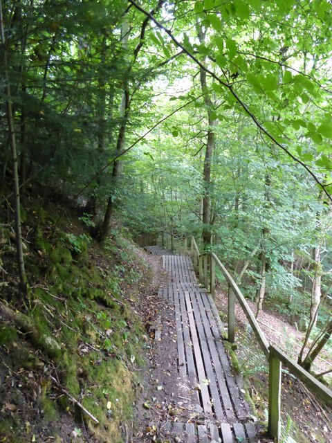
Visitors to The Pot can enjoy leisurely walks along the water's edge, taking in the breathtaking scenery and observing the resident wildlife. The reflective surface of the lake creates a stunning mirror effect, especially during calm weather conditions. The Pot is also a popular spot for fishing enthusiasts, who can cast their lines in search of trout and other freshwater fish.
With its diverse ecosystem and natural beauty, The Pot offers a peaceful retreat for those seeking solace in nature. Whether it's birdwatching, fishing, or simply enjoying a leisurely stroll, this freshwater marsh provides a serene escape from the hustle and bustle of everyday life.
If you have any feedback on the listing, please let us know in the comments section below.
The Pot Images
Images are sourced within 2km of 55.57279/-2.6260093 or Grid Reference NT6031. Thanks to Geograph Open Source API. All images are credited.
The Pot is located at Grid Ref: NT6031 (Lat: 55.57279, Lng: -2.6260093)
Unitary Authority: The Scottish Borders
Police Authority: The Lothians and Scottish Borders
What 3 Words
///sweetly.reward.disengage. Near Saint Boswells, Scottish Borders
Nearby Locations
Related Wikis
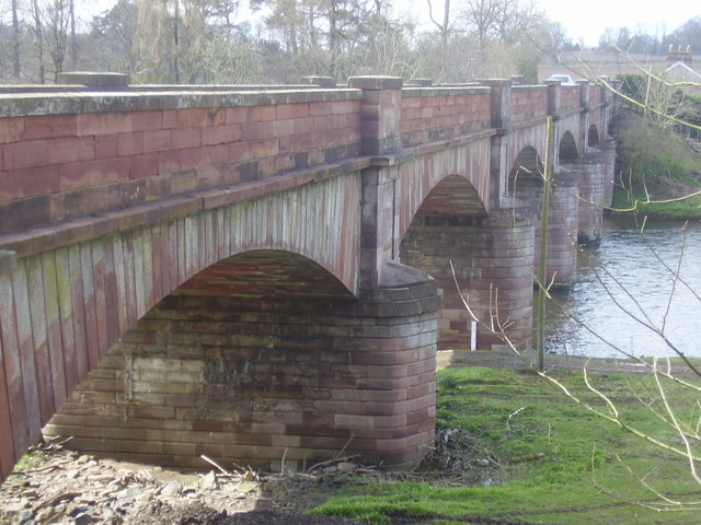
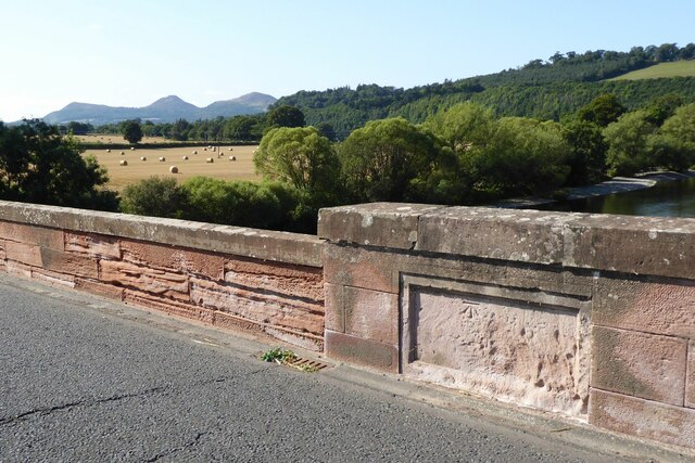
Mertoun Bridge
The Mertoun Bridge is a bridge across the River Tweed in the Scottish Borders. == History == The Act of Parliament that authorised the building of a bridge...

Greycrook
Greycrook is a village off the A68 and the A699 in the Scottish Borders, approximately 500 m (550 yd) south-east of St Boswells, and close to Dryburgh...

St Boswells
St Boswells (Scots: Bosels / Bosells; Scottish Gaelic: Cille Bhoisil [ˈçiʎəˈvɔʃɪl]) is a village on the south side of the River Tweed in the Scottish Borders...

Mertoun
Mertoun is a parish in the south-west of the historic county of Berwickshire in the Scottish Borders area of Scotland. Together with the parish of Maxton...

Mertoun House
Mertoun House is a country house situated by the River Tweed, 2 miles (3 kilometres) east of St Boswells in the Scottish Borders. It is home to the Duke...
Maxton, Roxburghshire
Maxton is a hamlet and civil parish in Roxburghshire, Scotland, and part of the Scottish Borders region. Maxton lies just off the A68, south of St. Boswells...

Clintmains
Clintmains is a village by the River Tweed, in the parish of Mertoun, to the east of Newtown St Boswells, in the Scottish Borders area of Scotland, in...

Fat Lips
Fat Lips (or Fatlips) is the name given to a legendary spirit dwelling in Dryburgh Abbey in Berwickshire, Scotland. The spirit was associated with a hermit...
Nearby Amenities
Located within 500m of 55.57279,-2.6260093Have you been to The Pot?
Leave your review of The Pot below (or comments, questions and feedback).