Pot Stream
Lake, Pool, Pond, Freshwater Marsh in Berwickshire
Scotland
Pot Stream
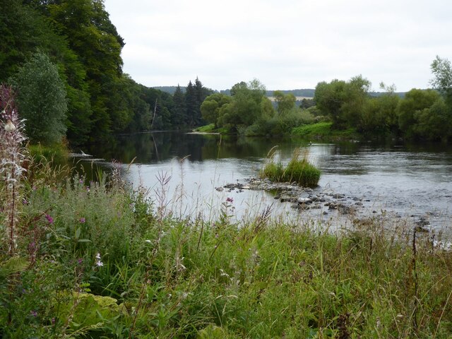
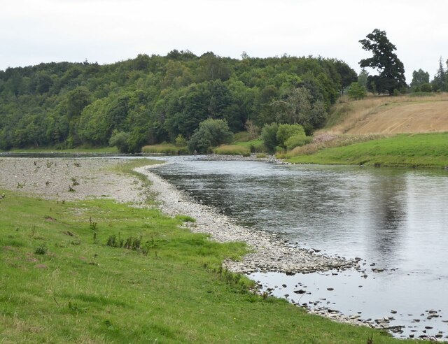
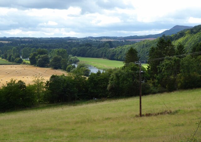
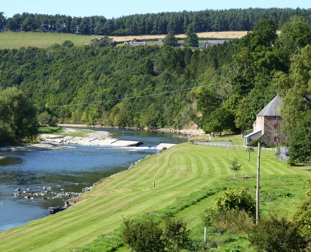
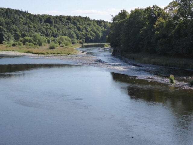
Pot Stream is a freshwater body located in Berwickshire, a historic county in the southeastern part of Scotland. Residing in a picturesque landscape, it consists of a combination of a lake, pool, pond, and freshwater marsh. This aquatic ecosystem spans an area of approximately [insert size] and is nestled amidst lush greenery, creating an idyllic setting.
The lake in Pot Stream is characterized by its calm and reflective surface, providing a tranquil environment for various aquatic species. The pool, on the other hand, exhibits a slightly smaller size and is typically deeper, attracting different types of fish and water plants. Adjacent to the pool, the pond is comparatively smaller yet equally diverse in its flora and fauna.
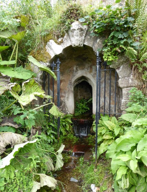
One of the notable features of Pot Stream is the freshwater marsh, which acts as a natural filter for the water flowing through the system. The marsh is a vibrant habitat for numerous plant species, such as reeds, cattails, and water lilies. Its dense vegetation provides shelter and nesting sites for a wide array of birds, including ducks, herons, and swans.
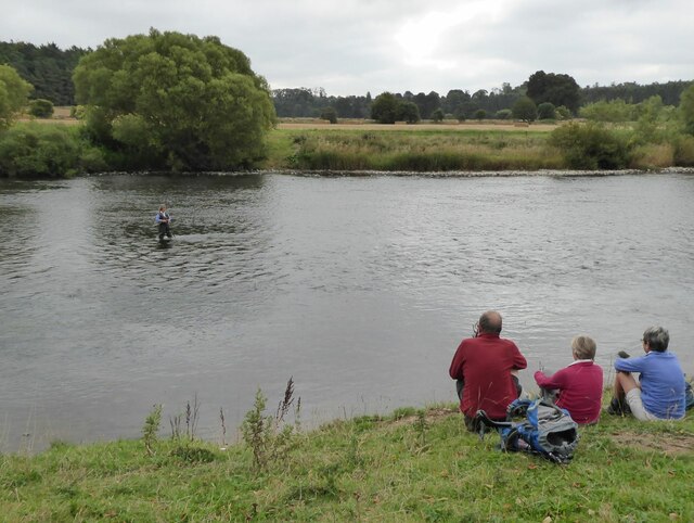
Pot Stream not only serves as a vital habitat for various aquatic and avian species but also offers recreational opportunities for visitors. Fishing enthusiasts can enjoy angling in the lake and pool, while nature lovers can explore the surrounding marshlands and observe the diverse wildlife.
In summary, Pot Stream in Berwickshire encompasses a collection of aquatic environments, including a lake, pool, pond, and freshwater marsh. This picturesque habitat provides a sanctuary for a rich array of species and offers visitors a chance to indulge in the beauty of nature.
If you have any feedback on the listing, please let us know in the comments section below.
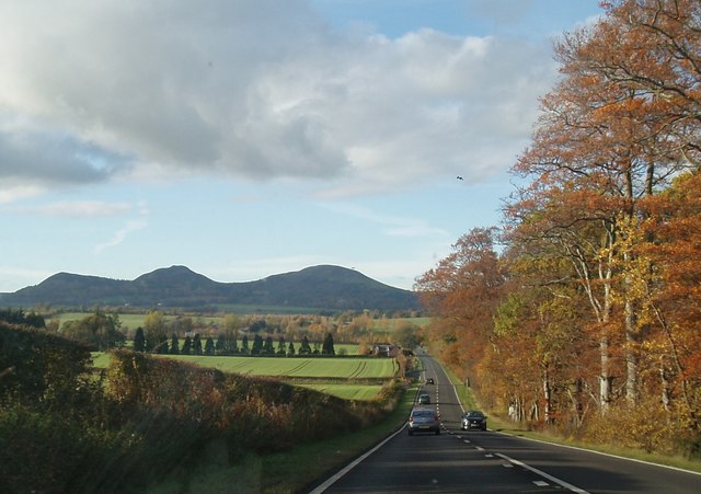
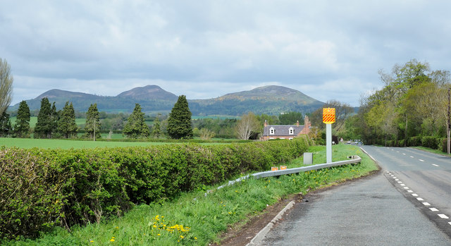
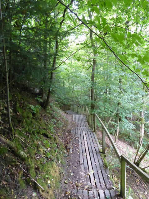
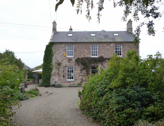
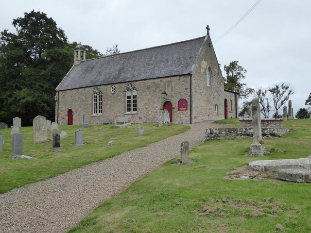
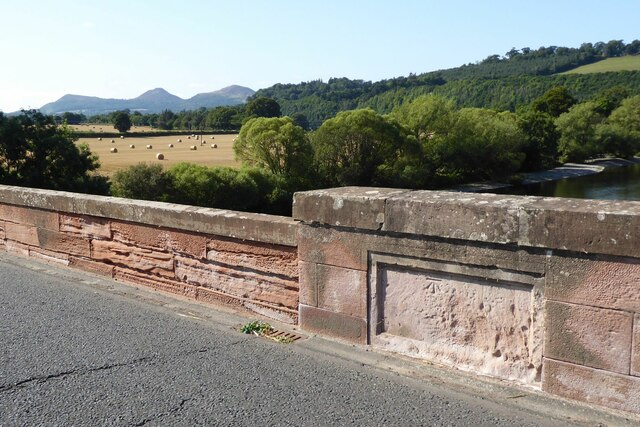
Pot Stream Images
Images are sourced within 2km of 55.573524/-2.6248315 or Grid Reference NT6031. Thanks to Geograph Open Source API. All images are credited.
Pot Stream is located at Grid Ref: NT6031 (Lat: 55.573524, Lng: -2.6248315)
Unitary Authority: The Scottish Borders
Police Authority: The Lothians and Scottish Borders
What 3 Words
///lunching.units.agent. Near Saint Boswells, Scottish Borders
Nearby Locations
Related Wikis
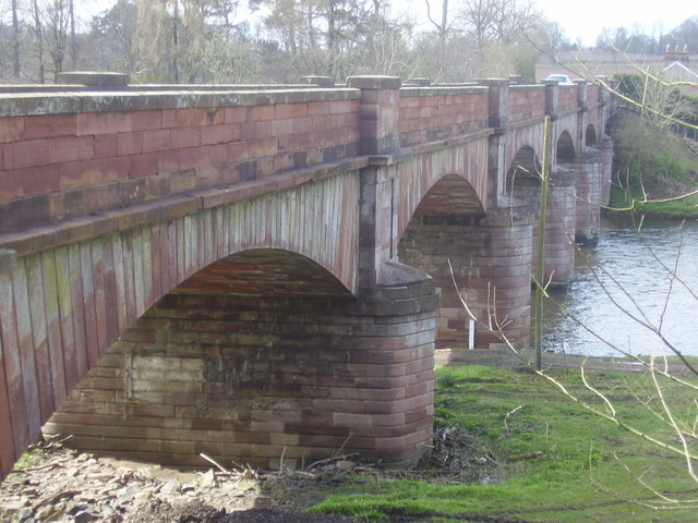
Mertoun Bridge
The Mertoun Bridge is a bridge across the River Tweed in the Scottish Borders. == History == The Act of Parliament that authorised the building of a bridge...

Greycrook
Greycrook is a village off the A68 and the A699 in the Scottish Borders, approximately 500 m (550 yd) south-east of St Boswells, and close to Dryburgh...

Mertoun
Mertoun is a parish in the south-west of the historic county of Berwickshire in the Scottish Borders area of Scotland. Together with the parish of Maxton...

Mertoun House
Mertoun House is a country house situated by the River Tweed, 2 miles (3 kilometres) east of St Boswells in the Scottish Borders. It is home to the Duke...
Nearby Amenities
Located within 500m of 55.573524,-2.6248315Have you been to Pot Stream?
Leave your review of Pot Stream below (or comments, questions and feedback).