Backbrae Stream
Lake, Pool, Pond, Freshwater Marsh in Roxburghshire
Scotland
Backbrae Stream
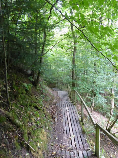
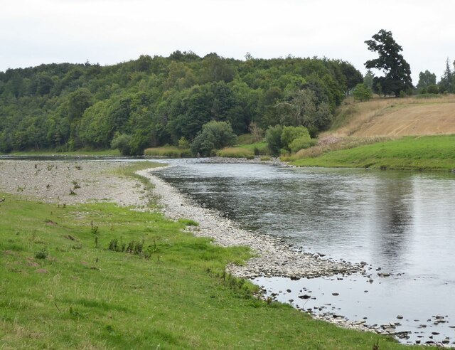
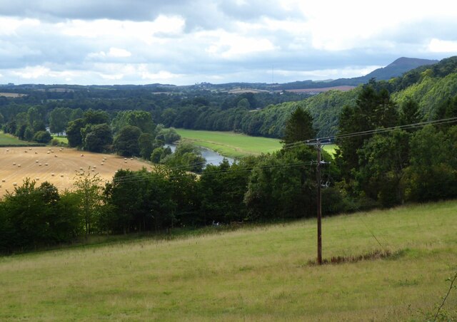
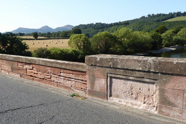
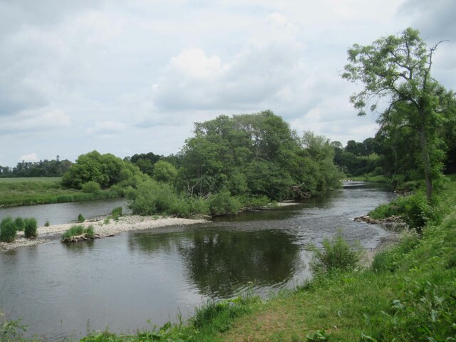
Backbrae Stream is a freshwater marsh located in Roxburghshire, a historic county in the Scottish Borders region of Scotland. The stream is situated in a picturesque rural landscape, surrounded by rolling hills and green fields. It is a small body of water, more commonly referred to as a pool or pond due to its size.
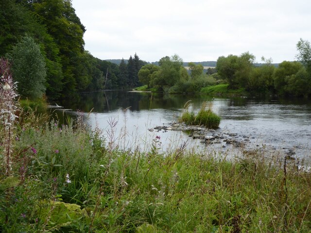
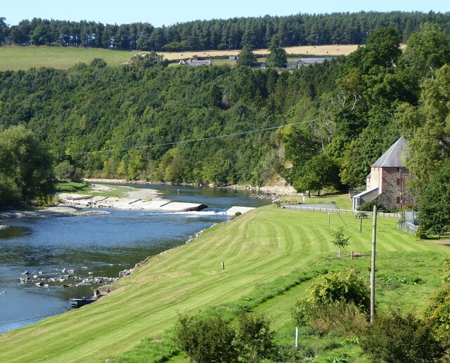
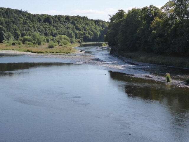
The stream is fed by several small tributaries and springs, ensuring a constant flow of freshwater throughout the year. The water is clear and unpolluted, creating a healthy ecosystem for a variety of aquatic flora and fauna. The marshy nature of the area provides a habitat for a range of wetland plants, such as reeds, rushes, and sedges, which thrive in the damp conditions.
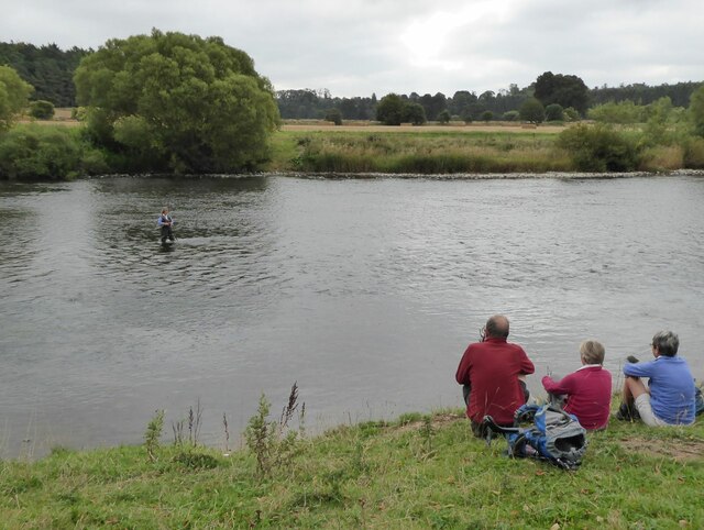
The stream is home to a diverse array of wildlife. Commonly seen species include ducks, geese, swans, and herons, which can be spotted wading or swimming in the water. The surrounding vegetation provides ample cover for smaller animals like frogs, newts, and dragonflies. Birdwatchers and nature enthusiasts often visit Backbrae Stream to observe and photograph the abundant wildlife.
The stream also serves as a valuable water source for the local ecosystem, providing moisture to the surrounding vegetation and supporting the growth of plants and trees. Additionally, it contributes to the overall scenic beauty of the area, attracting visitors who appreciate the peacefulness and natural charm of the marshland.
Overall, Backbrae Stream is a small yet significant freshwater marsh in Roxburghshire, contributing to the local ecosystem, supporting diverse wildlife, and offering a serene and picturesque environment for visitors to enjoy.
If you have any feedback on the listing, please let us know in the comments section below.
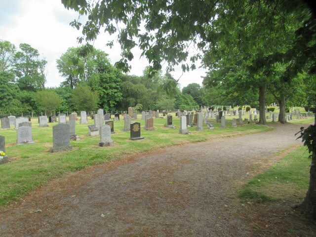
Backbrae Stream Images
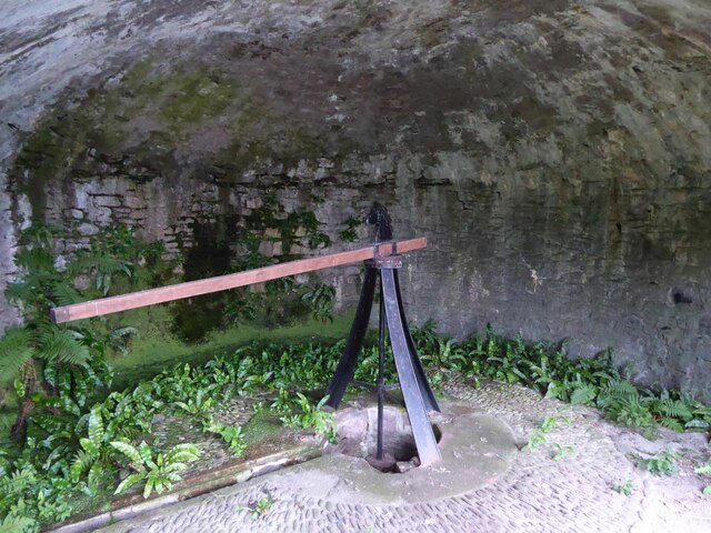
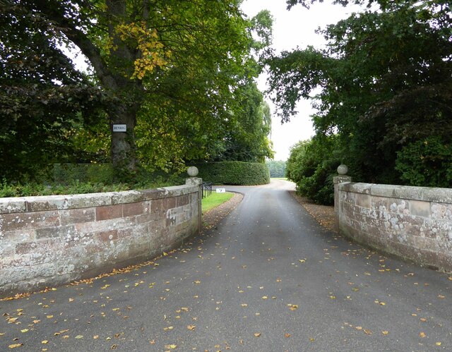
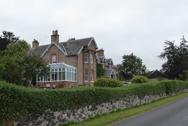
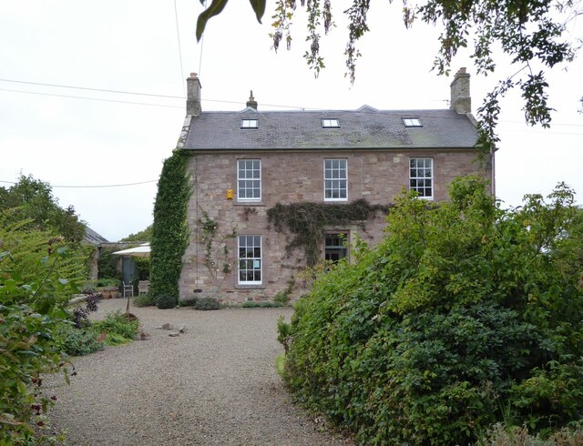
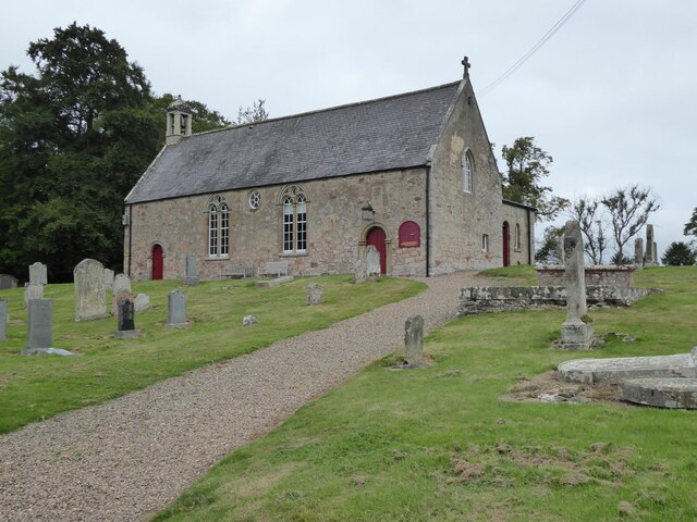
Images are sourced within 2km of 55.575296/-2.6209738 or Grid Reference NT6031. Thanks to Geograph Open Source API. All images are credited.
Backbrae Stream is located at Grid Ref: NT6031 (Lat: 55.575296, Lng: -2.6209738)
Unitary Authority: The Scottish Borders
Police Authority: The Lothians and Scottish Borders
What 3 Words
///surveyors.stardom.mistaking. Near Saint Boswells, Scottish Borders
Nearby Locations
Related Wikis
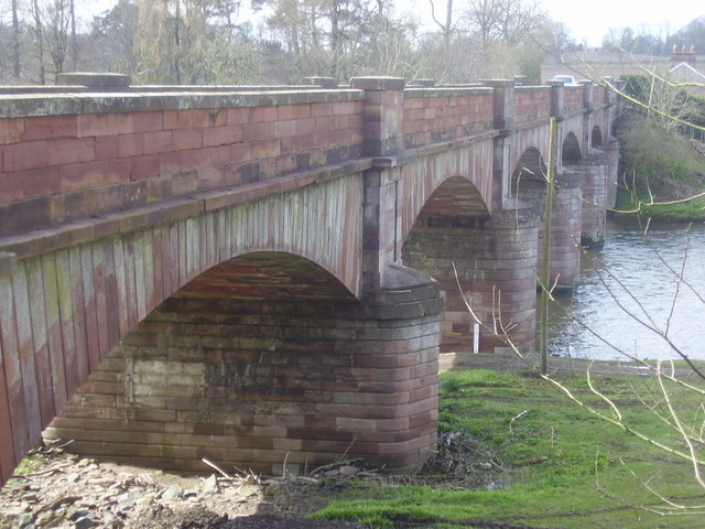
Mertoun Bridge
The Mertoun Bridge is a bridge across the River Tweed in the Scottish Borders. == History == The Act of Parliament that authorised the building of a bridge...

Mertoun
Mertoun is a parish in the south-west of the historic county of Berwickshire in the Scottish Borders area of Scotland. Together with the parish of Maxton...

Mertoun House
Mertoun House is a country house situated by the River Tweed, 2 miles (3 kilometres) east of St Boswells in the Scottish Borders. It is home to the Duke...

Clintmains
Clintmains is a village by the River Tweed, in the parish of Mertoun, to the east of Newtown St Boswells, in the Scottish Borders area of Scotland, in...
Nearby Amenities
Located within 500m of 55.575296,-2.6209738Have you been to Backbrae Stream?
Leave your review of Backbrae Stream below (or comments, questions and feedback).