Caul Stream

Lake, Pool, Pond, Freshwater Marsh in Roxburghshire

Scotland

Caul Stream

St Cuthbert's Way The boardwalk avoids the wet woodland further down the bank.
Not the most exciting section of the way with no views through the trees.
St Cuthbert's Way Credit: Russel Wills

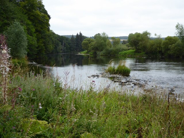
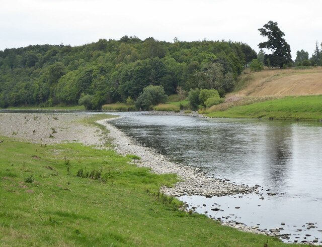
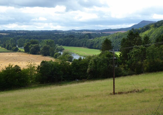
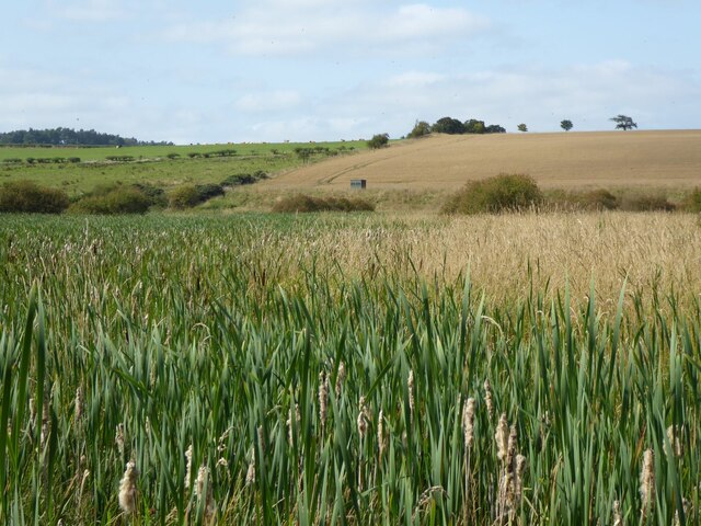
Caul Stream is a picturesque freshwater marsh located in Roxburghshire, Scotland. Nestled amidst rolling hills and lush greenery, it is a haven for nature enthusiasts and a valuable ecological resource. The stream, also referred to as Caul Burn, runs for approximately 10 kilometers before joining the River Teviot.

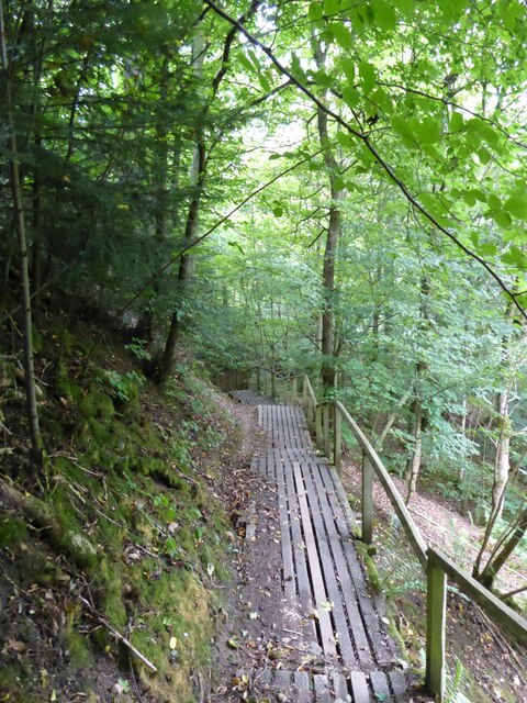
The stream's source can be found in the hills to the south of Hawick, where it cascades down a series of small waterfalls before meandering through the landscape. As it flows, Caul Stream gradually widens and deepens, creating a network of pools and ponds that serve as habitats for various aquatic species.

The surrounding area of Caul Stream is abundant in diverse flora and fauna. The marshland is home to numerous plant species such as reeds, rushes, and water lilies, which provide shelter and sustenance for a range of animal life. Visitors to Caul Stream can spot a variety of bird species, including mallards, herons, and kingfishers, as well as amphibians like frogs and newts.

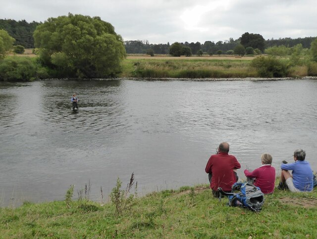
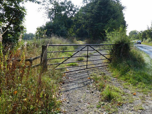
The peaceful and serene atmosphere of Caul Stream makes it an ideal spot for walking, picnicking, and wildlife observation. The surrounding hills and valleys offer breathtaking views, adding to the overall allure of the area. Additionally, the stream provides opportunities for fishing, with brown trout being a common catch.

Caul Stream is not only a recreational spot but also plays a vital role in maintaining the local ecosystem. Its freshwater marsh and associated wetlands act as natural filters, purifying water and providing flood control. The stream's importance as a habitat for wildlife and its ecological functions make it a cherished natural asset in Roxburghshire.

If you have any feedback on the listing, please let us know in the comments section below.
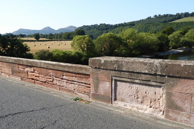
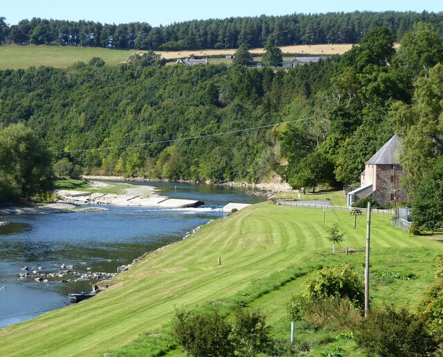
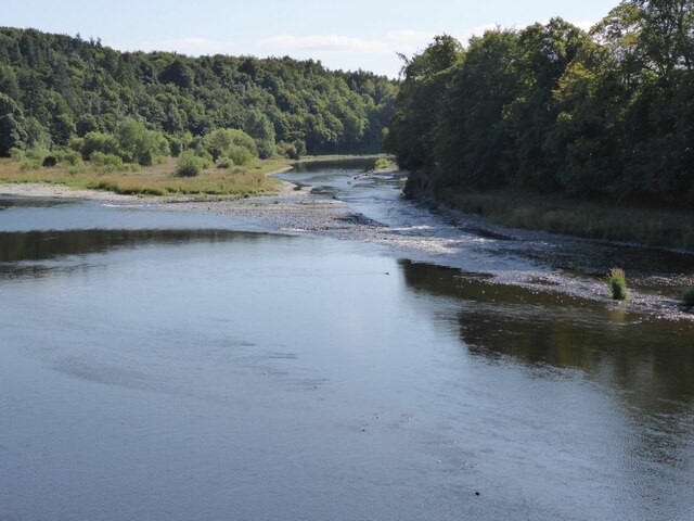
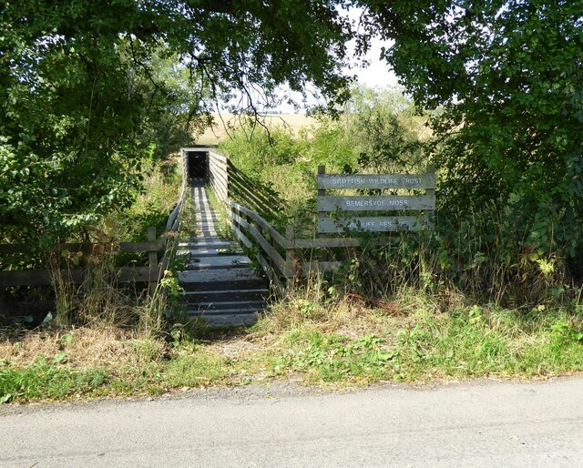
Caul Stream Images

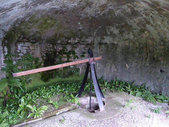
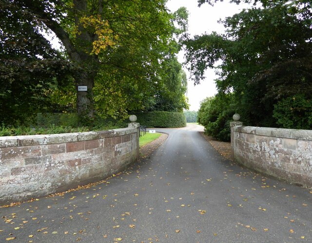
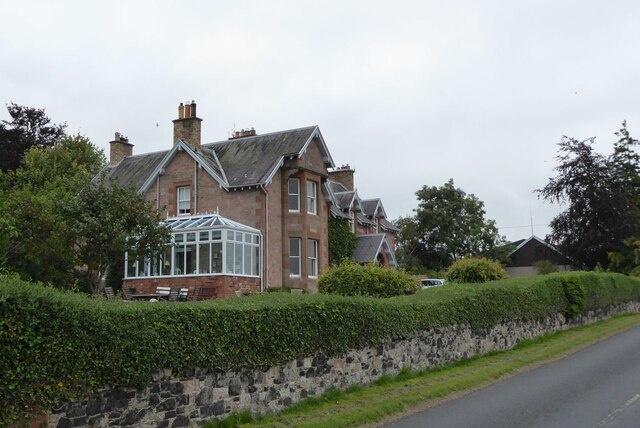
Images are sourced within 2km of 55.581518/-2.6219128 or Grid Reference NT6032. Thanks to Geograph Open Source API. All images are credited.

St Cuthbert's Way The boardwalk avoids the wet woodland further down the bank.
Not the most exciting section of the way with no views through the trees.
St Cuthbert's Way
The boardwalk avoids the wet woodland further down the bank. Not the most exciting section of the way with no views through the trees.
The River Tweed  St Cuthbert's Way passes along the bank, through tall weeds, below Benrig.
The River Tweed
St Cuthbert's Way passes along the bank, through tall weeds, below Benrig.
The Crystal Well A spring originally supplying clean water for Benrig House.
In the mid 1800s the Elliot family built a pump to bring water up to the house, much more convenient than sending a maid down with a bucket!
The Crystal Well
A spring originally supplying clean water for Benrig House. In the mid 1800s the Elliot family built a pump to bring water up to the house, much more convenient than sending a maid down with a bucket!
Every Modern Convenience A plaque on the wall listing the technological progressions involved in getting water up to Benrig House.
Every Modern Convenience
A plaque on the wall listing the technological progressions involved in getting water up to Benrig House.
Donkey or mule power house This chamber, above the Crystal Well, housed the animals that trudged in circles round the room to power the adjacent pump that pumped the water up to Benrig House. See <a title="https://www.geograph.org.uk/photo/6955163" href="https://www.geograph.org.uk/photo/6955163">Link</a>
Donkey or mule power house
This chamber, above the Crystal Well, housed the animals that trudged in circles round the room to power the adjacent pump that pumped the water up to Benrig House. See Link
Gateway to Benrig The house overlooks the River Tweed.
Gateway to Benrig
The house overlooks the River Tweed.
Fisherman in River Tweed Viewed from St Cuthbert's Way.
Fisherman in River Tweed
Viewed from St Cuthbert's Way.
Fishing as a spectator sport! Walkers on St Cuthbert's Way watch a lady fishing in the River Tweed.
Fishing as a spectator sport!
Walkers on St Cuthbert's Way watch a lady fishing in the River Tweed.
Clint Lodge Clint Lodge country house was built in 1869 by Lord Polwarth as the family’s shooting home, Clint Lodge is owned by the Duke of Sutherland. After extensive and careful refurbishment, Clint Lodge opened in August ’97.  <span class="nowrap"><a title="https://clintlodge.co.uk/" rel="nofollow ugc noopener" href="https://clintlodge.co.uk/">Link</a><img style="margin-left:2px;" alt="External link" title="External link - shift click to open in new window" src="https://s1.geograph.org.uk/img/external.png" width="10" height="10"/></span>
Clint Lodge
Clint Lodge country house was built in 1869 by Lord Polwarth as the family’s shooting home, Clint Lodge is owned by the Duke of Sutherland. After extensive and careful refurbishment, Clint Lodge opened in August ’97. LinkExternal link
River Tweed Near Clintmains.
Pity about the electricity pole!
River Tweed
Near Clintmains. Pity about the electricity pole!
Glebe House By the kirk at Maxton.
Glebe House
By the kirk at Maxton.
Maxton Kirk 'There is reputed to have been a church on or near the present site for close on 1000 years. In 1322 Edward II and his men destroyed Dryburgh Abbey on his retreat from Edinburgh. In revengeful mood, the English army set it on fire. 'One result of this destruction was the gift of Maxton Church, one of the last of such ecclesiastical possessions to become the property of the Abbey.'
<span class="nowrap"><a title="https://www.dryburghdistrictchurches.org/maxton-kirk-history.html" rel="nofollow ugc noopener" href="https://www.dryburghdistrictchurches.org/maxton-kirk-history.html">Link</a><img style="margin-left:2px;" alt="External link" title="External link - shift click to open in new window" src="https://s1.geograph.org.uk/img/external.png" width="10" height="10"/></span>
Maxton Kirk
'There is reputed to have been a church on or near the present site for close on 1000 years. In 1322 Edward II and his men destroyed Dryburgh Abbey on his retreat from Edinburgh. In revengeful mood, the English army set it on fire. 'One result of this destruction was the gift of Maxton Church, one of the last of such ecclesiastical possessions to become the property of the Abbey.' LinkExternal link
Ordnance Survey cut mark On Mertoun Bridge.
With backdrop of River Tweed and the Eildon Hills.
(Better than the usual buried in a hedge location!)
Ordnance Survey cut mark
On Mertoun Bridge. With backdrop of River Tweed and the Eildon Hills. (Better than the usual buried in a hedge location!)
Mill at Clintmains With adjacent weir on the River Tweed.
There is a fisherman in the river above the weir.
Mill at Clintmains
With adjacent weir on the River Tweed. There is a fisherman in the river above the weir.
View downstream from Mertoun Bridge With island in the River Tweed.
View downstream from Mertoun Bridge
With island in the River Tweed.
Walkway to hide on Bemersyde Moss Wildlife Reserve Prior to the 19th Century a large body of water occupied the site.  Known as Mertoun Loch, it was fished foreels and used for driving the water mills of the parish.
Walkway to hide on Bemersyde Moss Wildlife Reserve
Prior to the 19th Century a large body of water occupied the site. Known as Mertoun Loch, it was fished foreels and used for driving the water mills of the parish.
Bemersyde Moss Not much activity to be seen from the hide!
Bemersyde Moss
Not much activity to be seen from the hide!
Gated track off B6404 Leading to the woods at Danderhall.
Gated track off B6404
Leading to the woods at Danderhall.
Show me another place!

Caul Stream is located at Grid Ref: NT6032 (Lat: 55.581518, Lng: -2.6219128)

Unitary Authority: The Scottish Borders

Police Authority: The Lothians and Scottish Borders

What 3 Words

///desktop.curable.necklaces. Near Saint Boswells, Scottish Borders

Related Wikis

Mertoun Bridge

The Mertoun Bridge is a bridge across the River Tweed in the Scottish Borders. == History == The Act of Parliament that authorised the building of a bridge...

Clintmains

Clintmains is a village by the River Tweed, in the parish of Mertoun, to the east of Newtown St Boswells, in the Scottish Borders area of Scotland, in...

Mertoun

Mertoun is a parish in the south-west of the historic county of Berwickshire in the Scottish Borders area of Scotland. Together with the parish of Maxton...

Mertoun House

Mertoun House is a country house situated by the River Tweed, 2 miles (3 kilometres) east of St Boswells in the Scottish Borders. It is home to the Duke...

Nearby Amenities

Located within 500m of 55.581518,-2.6219128
Mertoun Cauld
Rapids: 2
Waterway: rapids
Lat/Long: 55.5825034/-2.6229399
Power: pole
Source: Bing
Lat/Long: 55.5847649/-2.6227371
Power: pole
Source: Bing
Lat/Long: 55.5842682/-2.6232601
Power: pole
Lat/Long: 55.5828573/-2.6247072
Power: pole
Source: Bing
Lat/Long: 55.5836391/-2.6239182
Noexit: yes
Lat/Long: 55.5825408/-2.6152182
Mertoun Mill
Place: hamlet
Lat/Long: 55.5822401/-2.6216053
Mertoun Bridge Tollhouse
Place: isolated_dwelling
Lat/Long: 55.5802346/-2.6218348
Mertoun Cauld
Rapids: 2
Waterway: rapids
Lat/Long: 55.5824832/-2.6229904
Power: pole
Source: Bing
Lat/Long: 55.5856399/-2.6200354
Power: pole
Lat/Long: 55.5852746/-2.6236242
Power: pole
Lat/Long: 55.5857279/-2.624563
Power: pole
Lat/Long: 55.5801121/-2.6223649
Power: pole
Lat/Long: 55.5804946/-2.6233077
Power: pole
Lat/Long: 55.5808797/-2.6242518
Power: pole
Lat/Long: 55.5812071/-2.6251531
Power: pole
Lat/Long: 55.5796698/-2.6281236
Power: pole
Lat/Long: 55.5802429/-2.6274785
Power: pole
Lat/Long: 55.5809297/-2.6267704
Power: pole
Lat/Long: 55.5815892/-2.6260999
Power: pole
Lat/Long: 55.5822244/-2.6253971
Power: pole
Lat/Long: 55.5852122/-2.621356
The data included in this document is from www.openstreetmap.org. The data is made available under ODbL.

Have you been to Caul Stream?

Leave your review of Caul Stream below (or comments, questions and feedback).