Adam's Grove
Downs, Moorland in Somerset Mendip
England
Adam's Grove
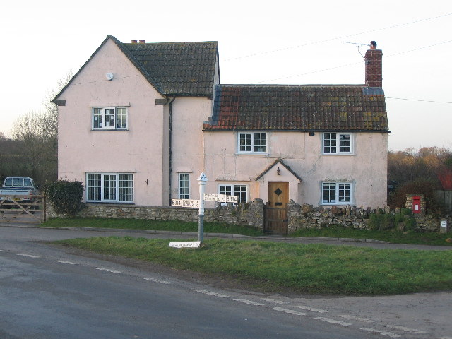
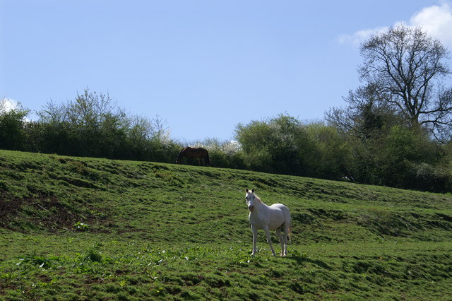
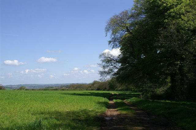
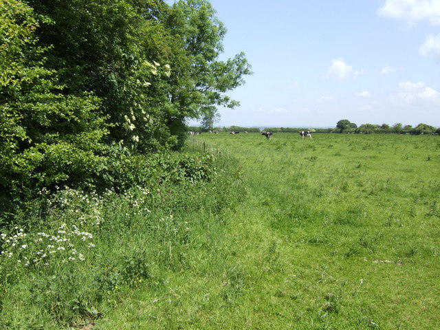
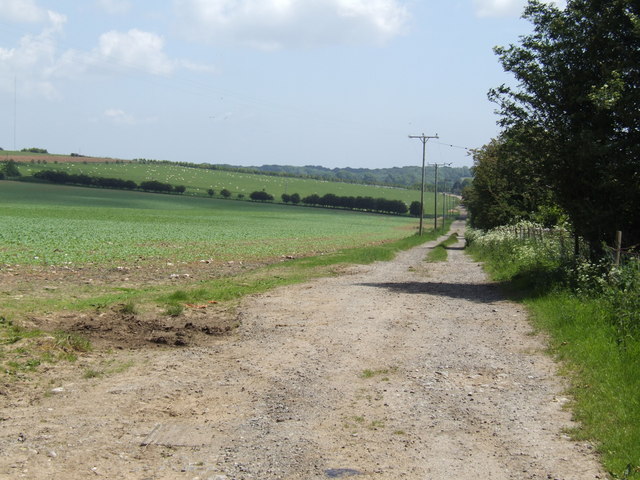
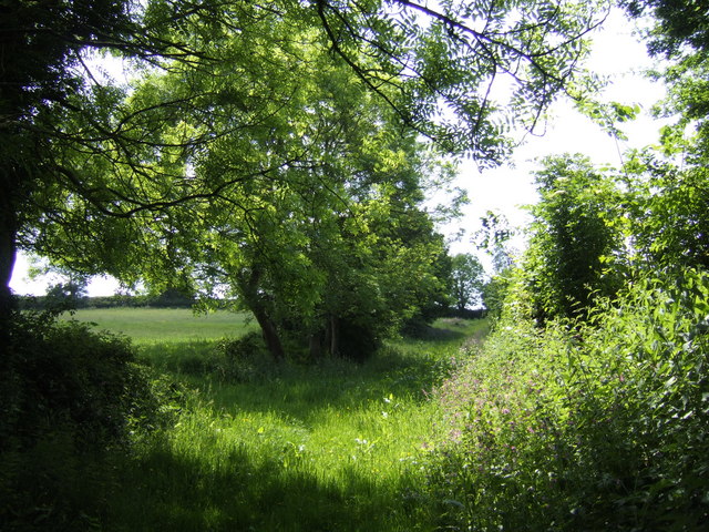
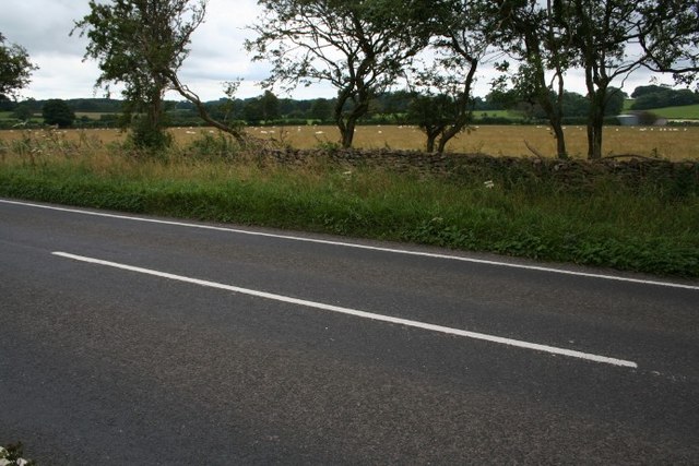
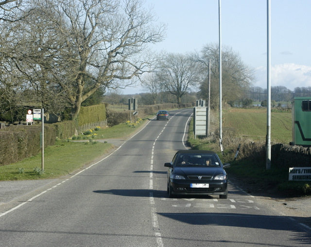
Adam's Grove is a charming village nestled in the heart of Somerset, England. Known for its picturesque landscapes, the village is surrounded by rolling hills, lush green meadows, and stunning moorland. It is a haven for nature lovers and outdoor enthusiasts, offering a tranquil escape from the hustle and bustle of city life.
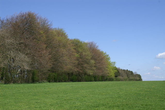
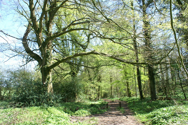
The village is situated in close proximity to the Somerset Downs, which provide breathtaking panoramic views of the surrounding countryside. It is a popular destination for hikers, who can explore the numerous walking trails that wind through the Downs, offering glimpses of rare wildlife and vibrant flora.
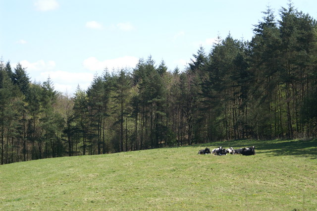
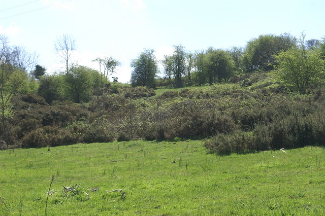
Moorland, another natural gem of Adam's Grove, is an expansive area of open land covered in heather and scattered with gorse. This unique landscape is a haven for birdwatchers, as it attracts a diverse range of species, including the elusive Dartford warbler and the majestic peregrine falcon.
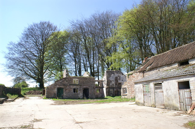
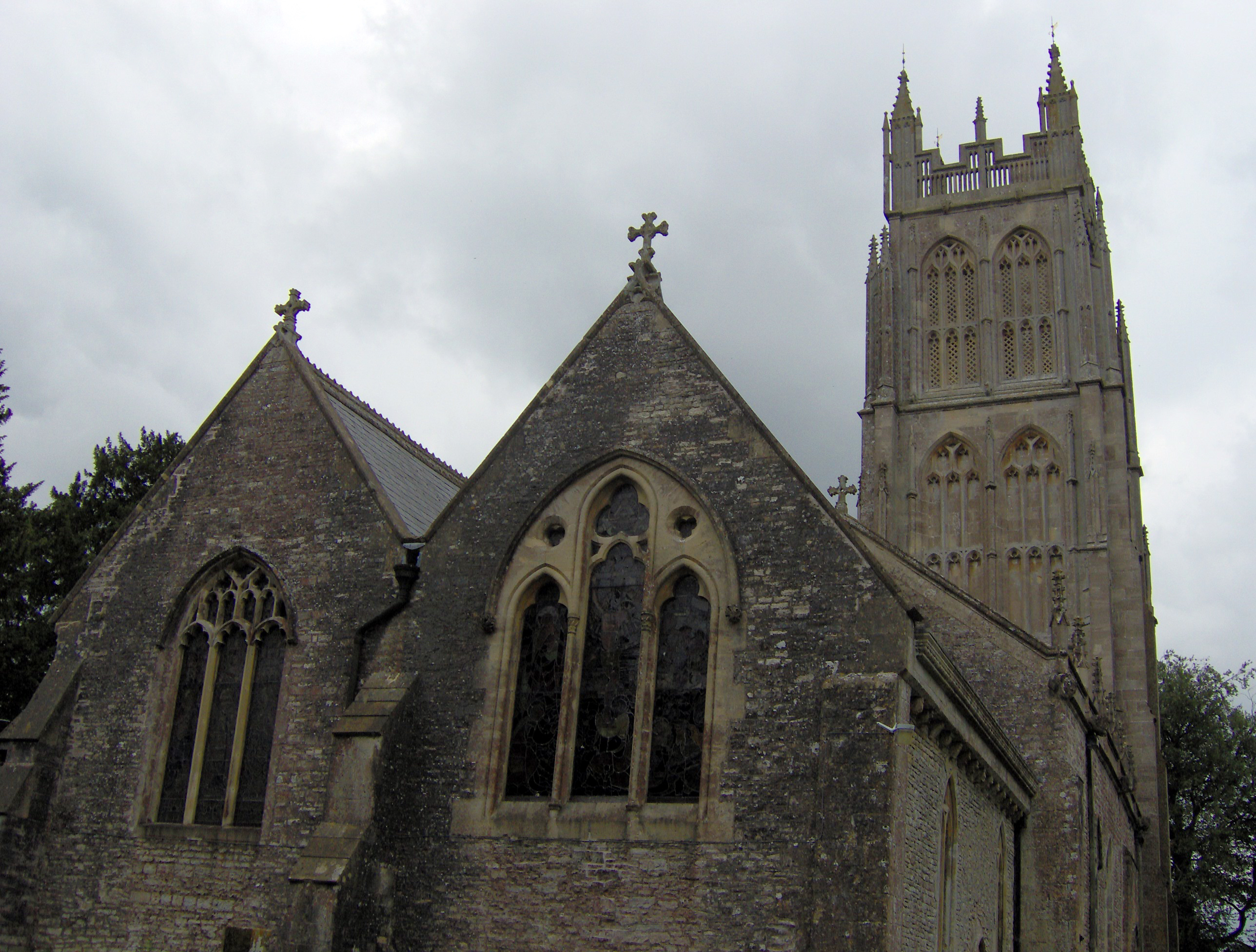
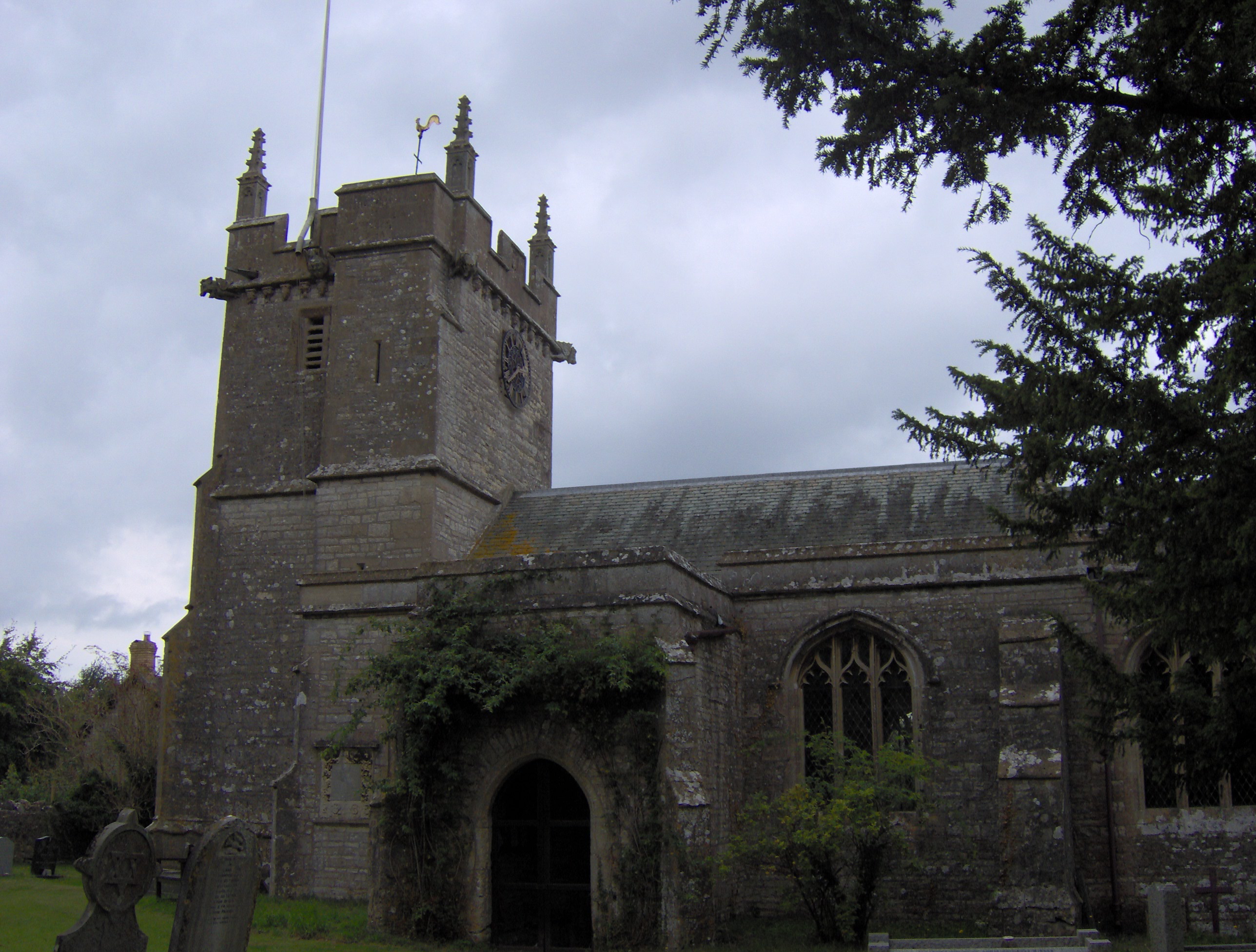
The village itself boasts a rich history, with several historic buildings dating back to the 17th century. The local pub, The Grove Arms, is a popular gathering spot for locals and visitors alike, offering a warm and friendly atmosphere and traditional British cuisine.
Adam's Grove is also known for its strong sense of community, with regular village events and festivals that bring residents together. The annual summer fair and Christmas market are particularly popular, offering a range of local crafts, food stalls, and entertainment for all ages.
Overall, Adam's Grove is a hidden gem in Somerset, offering a perfect blend of natural beauty, rich history, and community spirit. It is a place where visitors can immerse themselves in the wonders of the countryside and experience the true essence of rural England.
If you have any feedback on the listing, please let us know in the comments section below.
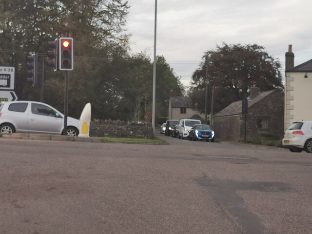
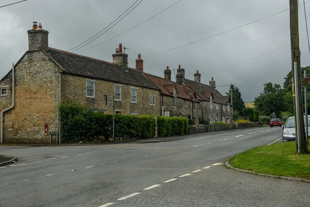
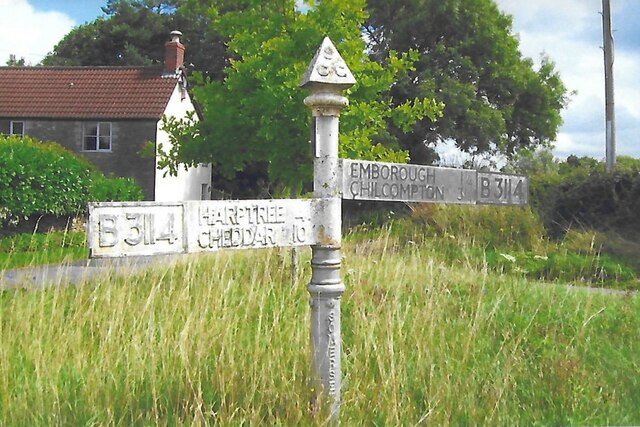
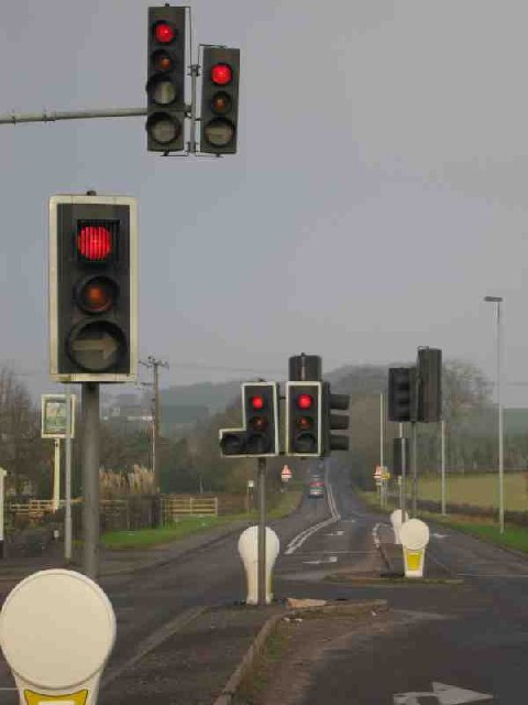
Adam's Grove Images
Images are sourced within 2km of 51.264367/-2.6049077 or Grid Reference ST5751. Thanks to Geograph Open Source API. All images are credited.
Adam's Grove is located at Grid Ref: ST5751 (Lat: 51.264367, Lng: -2.6049077)
Administrative County: Somerset
District: Mendip
Police Authority: Avon and Somerset
What 3 Words
///decoding.varieties.basis. Near Mendip, Somerset
Nearby Locations
Related Wikis

Attborough Swallet
Attborough Swallet (also known as Red Quar Swallet) is a cave in Chewton Mendip in Somerset, England. It is unusual for a cave on the Mendip Hills in that...
Chewton Mendip
Chewton Mendip is a village and civil parish in Somerset, England. It is situated 4 miles (6 km) north of Wells, 16 miles (26 km) south of Bath and Bristol...
Drove Cottage Henge
Drove Cottage Henge (sometimes called Hunter's Lodge Henge) is a scheduled monument in the Priddy parish of Somerset, England. It is located 370 metres...

Stock Hill
Stock Hill (grid reference ST5551) is a Forestry Commission plantation on the Mendip Hills, Somerset, England. It lies to the south of the B3135 which...
Litton, Somerset
Litton (grid reference ST593546) is a small village and civil parish between Chewton Mendip and West Harptree in the Mendip Hills, Somerset, England. The...

Priddy Mineries
Priddy Mineries (grid reference ST547515) is a nature reserve previously run by the Somerset Wildlife Trust. It is in the village of Priddy, on the Mendip...
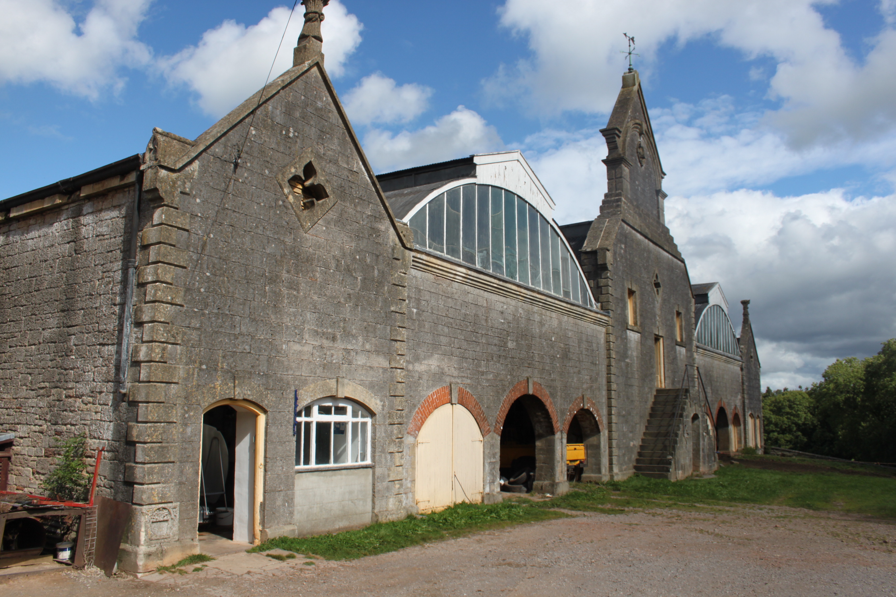
Eastwood Manor Farm Steading
Eastwood Manor Farm Steading in East Harptree, Somerset, England is a Grade I listed building.The farm including the site for the construction of Eastwood...
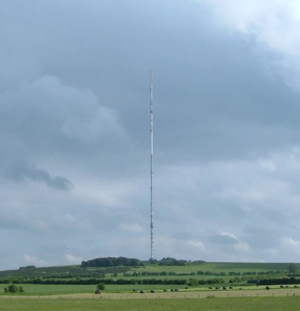
Mendip transmitting station
The Mendip transmitting station is a broadcasting and telecommunications facility on the summit of Pen Hill, part of the Mendip Hills range in Somerset...
Have you been to Adam's Grove?
Leave your review of Adam's Grove below (or comments, questions and feedback).