Island Plantation
Wood, Forest in Somerset Mendip
England
Island Plantation
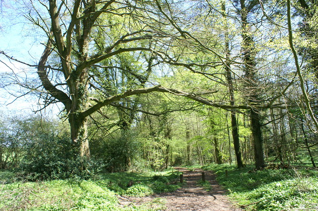
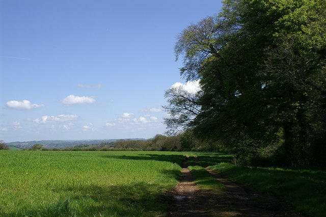
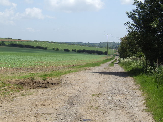
Island Plantation, Somerset, located in the Wood and Forest region, is a picturesque island with lush greenery and a serene ambiance. Situated off the coast of Somerset, England, this island plantation offers a unique getaway for nature lovers and those seeking tranquility.
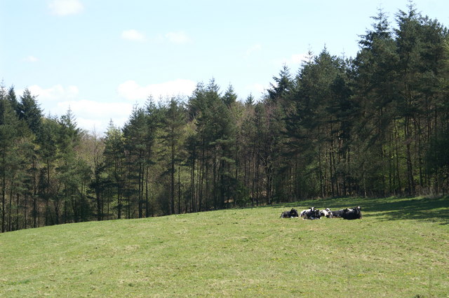
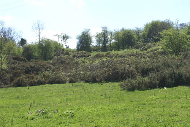
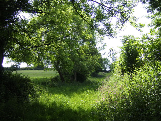
Covering an area of approximately 100 acres, Island Plantation is known for its diverse flora and fauna. The island is dominated by towering trees, including oak, maple, and pine, creating a dense forest canopy that provides shade and shelter for a variety of wildlife.
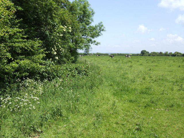
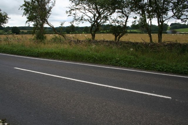
Visitors to the plantation can explore the island's well-maintained walking trails that wind through the dense woodland. These trails offer breathtaking views of the surrounding landscape, with glimpses of the nearby coastline and the sparkling waters of the English Channel.
The island is home to a rich array of wildlife, including numerous bird species, small mammals, and various insects. Birdwatchers will have the opportunity to spot rare species such as the Somerset swallow and the woodpecker.
Island Plantation is also known for its sustainable practices. The plantation is committed to preserving the natural beauty of the island while offering a peaceful retreat for guests. Eco-friendly accommodations are available, blending seamlessly with the surrounding environment.
With its tranquil atmosphere and stunning natural beauty, Island Plantation, Somerset, is a destination that caters to nature enthusiasts and those in search of a peaceful getaway. Whether exploring the walking trails, observing wildlife, or simply enjoying the serenity of the island, visitors are sure to experience a memorable and rejuvenating stay at this enchanting plantation.
If you have any feedback on the listing, please let us know in the comments section below.
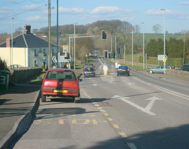
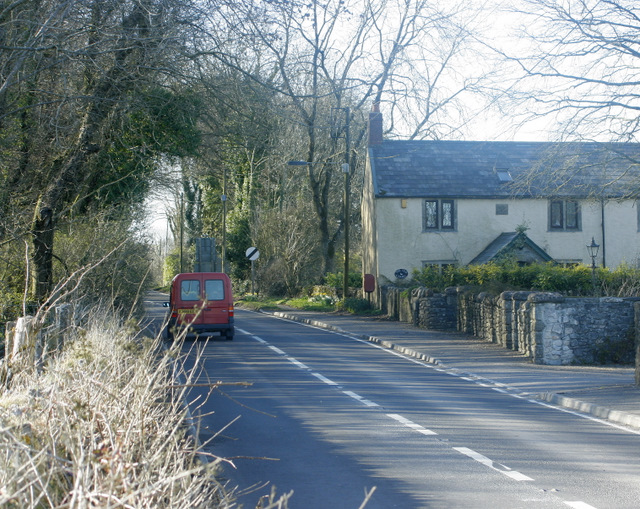
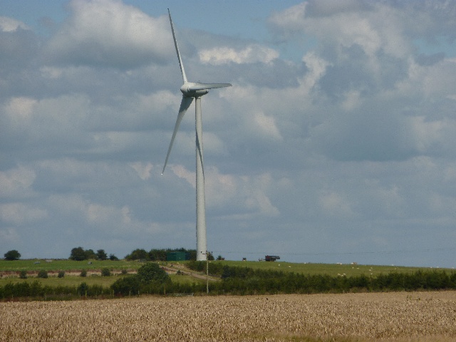
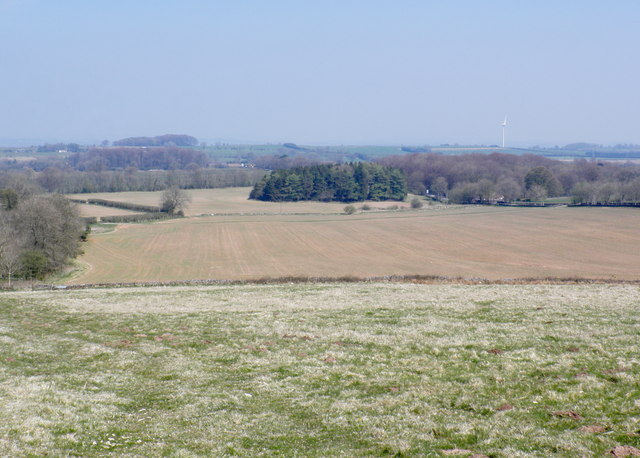
Island Plantation Images
Images are sourced within 2km of 51.259209/-2.6077778 or Grid Reference ST5751. Thanks to Geograph Open Source API. All images are credited.


Island Plantation is located at Grid Ref: ST5751 (Lat: 51.259209, Lng: -2.6077778)
Administrative County: Somerset
District: Mendip
Police Authority: Avon and Somerset
What 3 Words
///obeyed.ounce.result. Near Mendip, Somerset
Nearby Locations
Related Wikis

Attborough Swallet
Attborough Swallet (also known as Red Quar Swallet) is a cave in Chewton Mendip in Somerset, England. It is unusual for a cave on the Mendip Hills in that...
Drove Cottage Henge
Drove Cottage Henge (sometimes called Hunter's Lodge Henge) is a scheduled monument in the Priddy parish of Somerset, England. It is located 370 metres...

Stock Hill
Stock Hill (grid reference ST5551) is a Forestry Commission plantation on the Mendip Hills, Somerset, England. It lies to the south of the B3135 which...
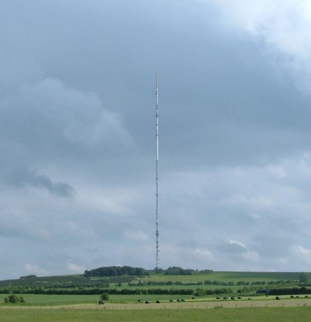
Mendip transmitting station
The Mendip transmitting station is a broadcasting and telecommunications facility on the summit of Pen Hill, part of the Mendip Hills range in Somerset...

Pen Hill
Pen Hill forms part of the Mendip Hills plateau in Somerset, England. The hill is located in St Cuthbert Out civil parish in Mendip district. The name...
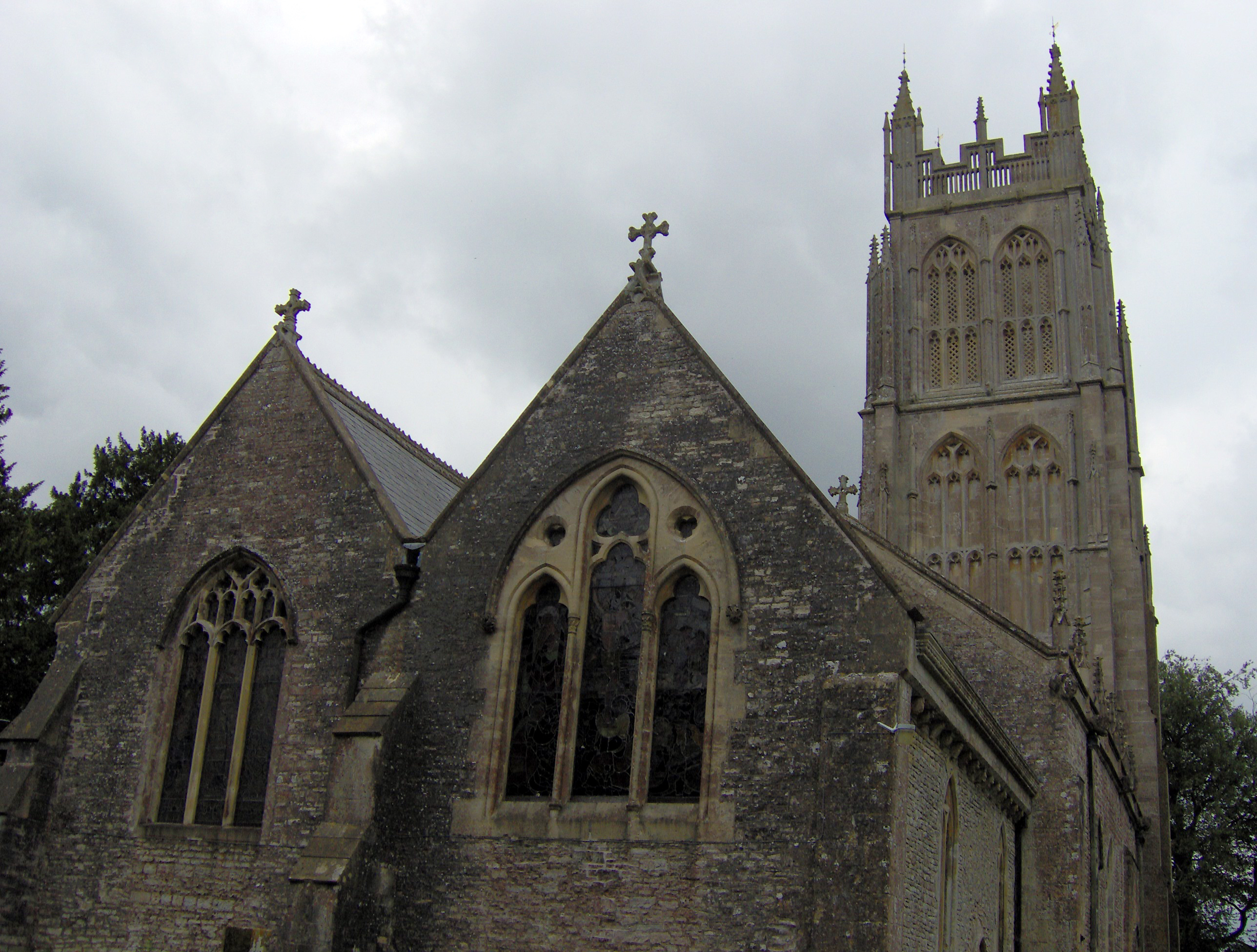
Chewton Mendip
Chewton Mendip is a village and civil parish in Somerset, England. It is situated 4 miles (6 km) north of Wells, 16 miles (26 km) south of Bath and Bristol...

Priddy Mineries
Priddy Mineries (grid reference ST547515) is a nature reserve previously run by the Somerset Wildlife Trust. It is in the village of Priddy, on the Mendip...

Priddy Pools
Priddy Pools (grid reference ST545510) is a 52.7-hectare (130-acre) geological Site of Special Scientific Interest at Priddy in the Mendip Hills, Somerset...
Nearby Amenities
Located within 500m of 51.259209,-2.6077778Have you been to Island Plantation?
Leave your review of Island Plantation below (or comments, questions and feedback).