Long Wrangle Plantation
Wood, Forest in Somerset Mendip
England
Long Wrangle Plantation
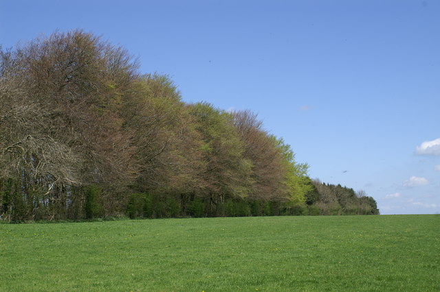
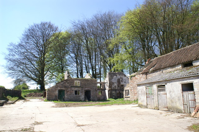
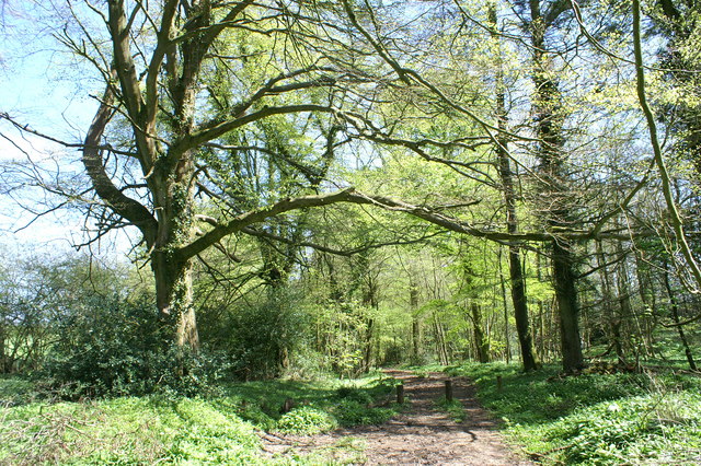
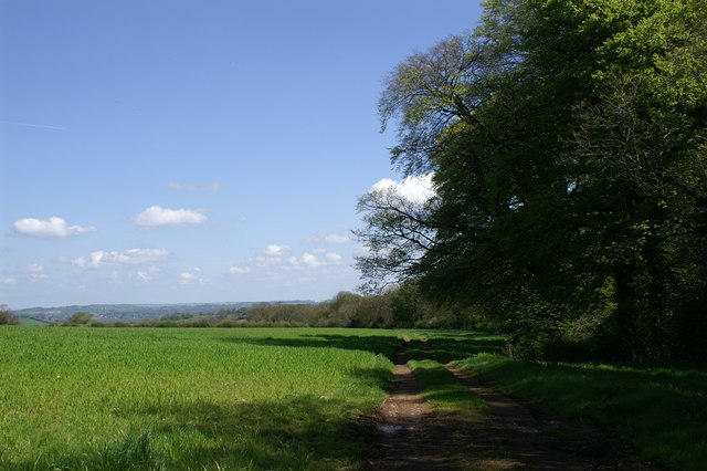
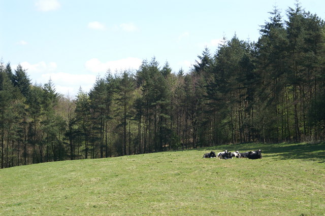
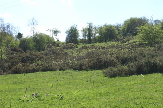
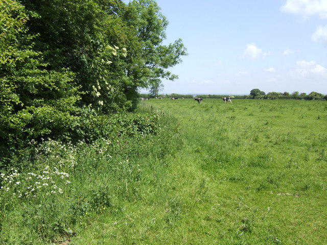
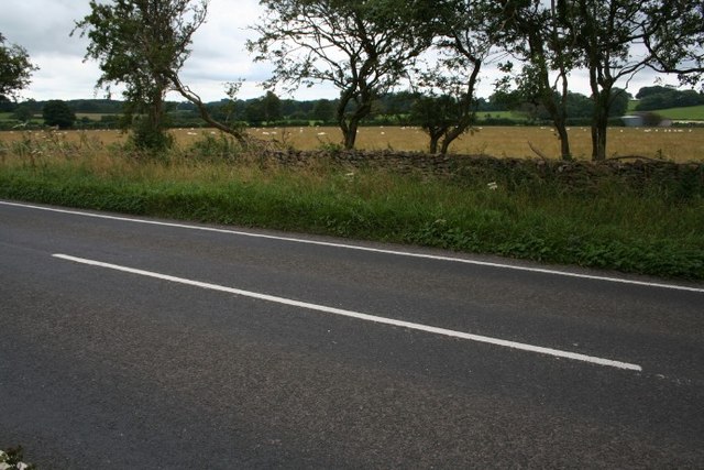
Long Wrangle Plantation is a sprawling woodland located in Somerset, England. Encompassing an area of approximately 200 acres, this plantation is a haven for nature enthusiasts and offers a diverse range of flora and fauna.
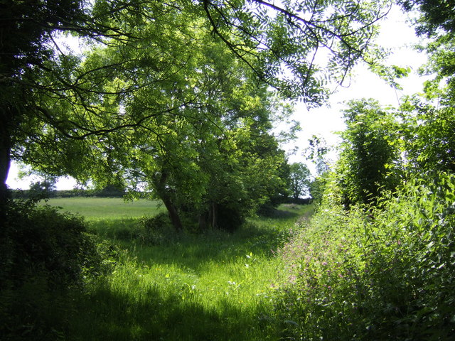
The plantation primarily consists of a mix of deciduous and coniferous trees, including oak, beech, pine, and cedar. These trees form a dense canopy, providing ample shade and creating a serene and tranquil environment within the woodland. The undergrowth is abundant with a variety of shrubs, ferns, and wildflowers, adding to the visual appeal of the plantation.
Long Wrangle Plantation is home to a rich array of wildlife, making it an ideal spot for birdwatching and animal spotting. Various bird species, such as woodpeckers, owls, and songbirds, can be seen and heard throughout the year. Small mammals, including squirrels, rabbits, and foxes, inhabit the woodland, while elusive deer can occasionally be spotted grazing in the early morning or late evening.
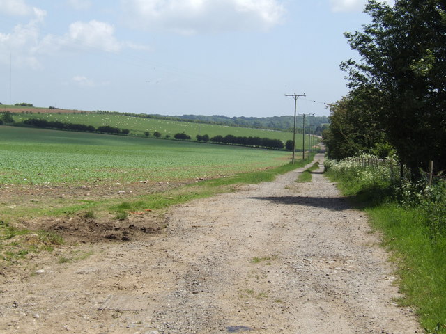
The plantation offers several well-marked trails that wind through the woodland, allowing visitors to explore its beauty at their own pace. These trails are suitable for both walking and cycling, providing an opportunity for outdoor enthusiasts to engage in recreational activities while immersing themselves in nature.
Long Wrangle Plantation also serves as an important ecological site, contributing to the overall health and biodiversity of the region. It acts as a carbon sink, absorbing carbon dioxide from the atmosphere, and provides a valuable habitat for numerous species.
Overall, Long Wrangle Plantation is a picturesque woodland that offers a peaceful retreat for nature lovers, while also playing a crucial role in preserving the environment.
If you have any feedback on the listing, please let us know in the comments section below.
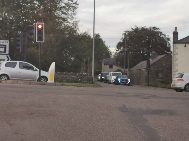
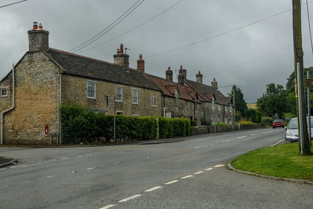
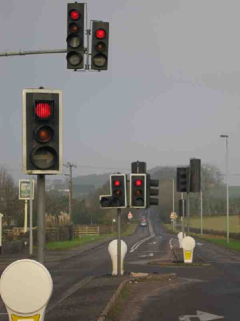
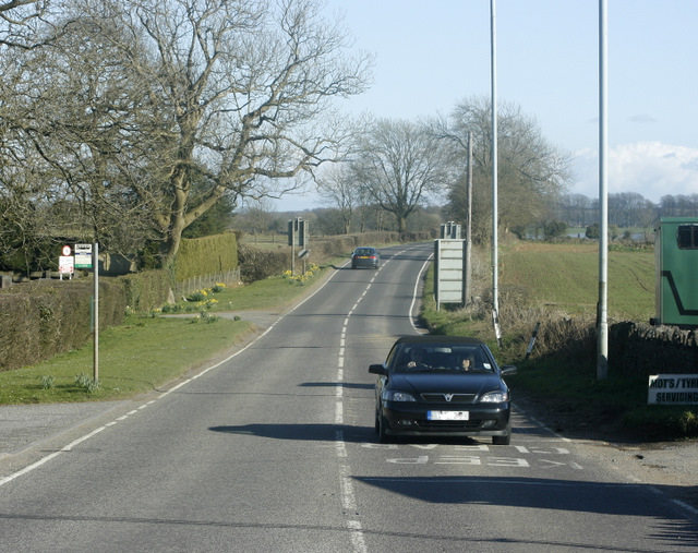
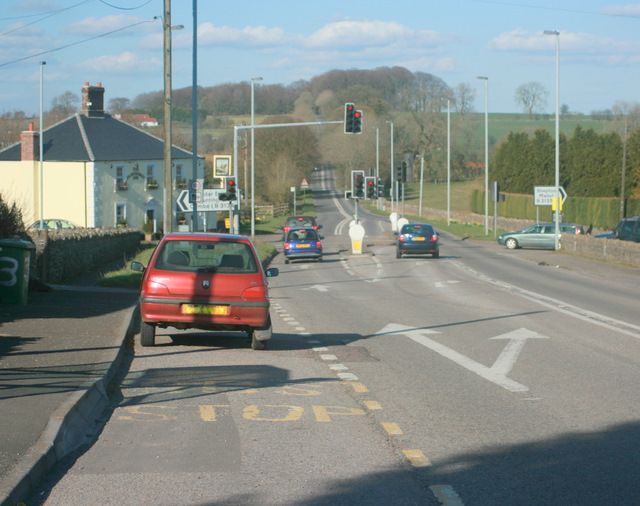
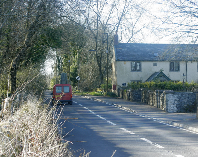
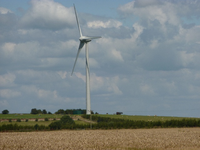
Long Wrangle Plantation Images
Images are sourced within 2km of 51.260953/-2.6062101 or Grid Reference ST5751. Thanks to Geograph Open Source API. All images are credited.

Long Wrangle Plantation is located at Grid Ref: ST5751 (Lat: 51.260953, Lng: -2.6062101)
Administrative County: Somerset
District: Mendip
Police Authority: Avon and Somerset
What 3 Words
///recitals.desktop.consoles. Near Mendip, Somerset
Nearby Locations
Related Wikis

Attborough Swallet
Attborough Swallet (also known as Red Quar Swallet) is a cave in Chewton Mendip in Somerset, England. It is unusual for a cave on the Mendip Hills in that...
Drove Cottage Henge
Drove Cottage Henge (sometimes called Hunter's Lodge Henge) is a scheduled monument in the Priddy parish of Somerset, England. It is located 370 metres...
Chewton Mendip
Chewton Mendip is a village and civil parish in Somerset, England. It is situated 4 miles (6 km) north of Wells, 16 miles (26 km) south of Bath and Bristol...

Stock Hill
Stock Hill (grid reference ST5551) is a Forestry Commission plantation on the Mendip Hills, Somerset, England. It lies to the south of the B3135 which...
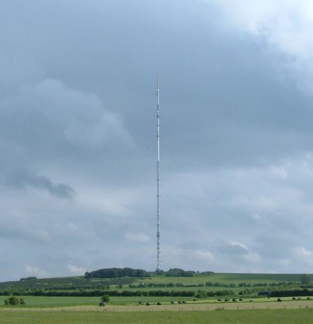
Mendip transmitting station
The Mendip transmitting station is a broadcasting and telecommunications facility on the summit of Pen Hill, part of the Mendip Hills range in Somerset...

Pen Hill
Pen Hill forms part of the Mendip Hills plateau in Somerset, England. The hill is located in St Cuthbert Out civil parish in Mendip district. The name...

Priddy Mineries
Priddy Mineries (grid reference ST547515) is a nature reserve previously run by the Somerset Wildlife Trust. It is in the village of Priddy, on the Mendip...

Priddy Pools
Priddy Pools (grid reference ST545510) is a 52.7-hectare (130-acre) geological Site of Special Scientific Interest at Priddy in the Mendip Hills, Somerset...
Nearby Amenities
Located within 500m of 51.260953,-2.6062101Have you been to Long Wrangle Plantation?
Leave your review of Long Wrangle Plantation below (or comments, questions and feedback).