Hawkstone Park

Downs, Moorland in Shropshire

England

Hawkstone Park

A49 near Linford Farm The A49 is a major road that runs for 158 miles from Bamber Bridge, near Preston, to Ross-on-Wye.

The section north of Warrington is mostly a non-primary road for local traffic, having been largely superseded by the M6 motorway. South of Warrington, the route traverses the Welsh Marches region <span class="nowrap"><a title="https://en.wikipedia.org/wiki/Welsh_Marches" rel="nofollow ugc noopener" href="https://en.wikipedia.org/wiki/Welsh_Marches">Link</a><img style="margin-left:2px;" alt="External link" title="External link - shift click to open in new window" src="https://s1.geograph.org.uk/img/external.png" width="10" height="10"/></span>  , following the hills along the English/Welsh borders although it never actually enters Wales; usually running around ten miles away from the border as it winds its way through Cheshire, Shropshire and Herefordshire although it comes within a couple of miles near Whitchurch. The road is all primary but mainly single carriageway, which means that traffic queues sometimes build up behind tractors or slow-moving goods vehicles.  The stretch between the A5 at Shrewsbury and Ross-on-Wye is a trunk road, maintained by the national Highways England.
<span class="nowrap"><a title="http://www.sabre-roads.org.uk/wiki/index.php?title=A49" rel="nofollow ugc noopener" href="http://www.sabre-roads.org.uk/wiki/index.php?title=A49">Link</a><img style="margin-left:2px;" alt="External link" title="External link - shift click to open in new window" src="https://s1.geograph.org.uk/img/external.png" width="10" height="10"/></span>  SABRE
A49 near Linford Farm Credit: David Dixon

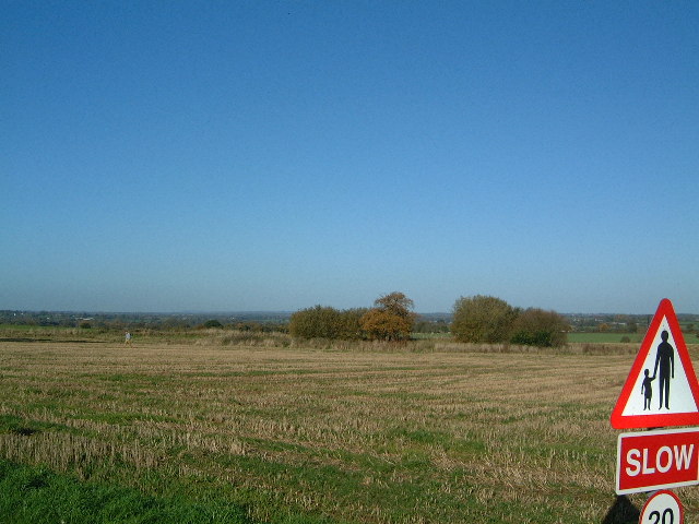
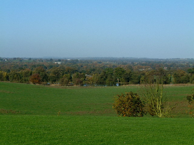
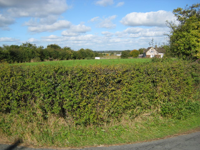
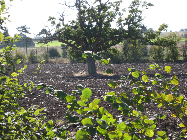
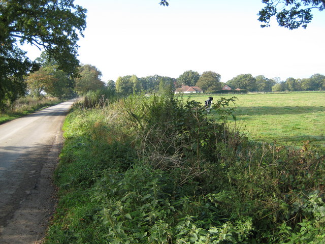
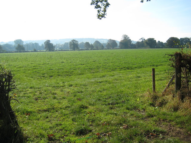
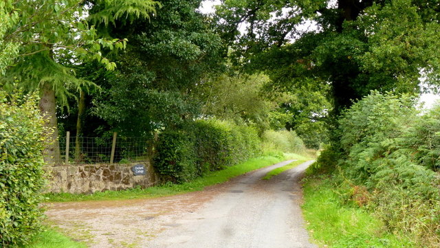
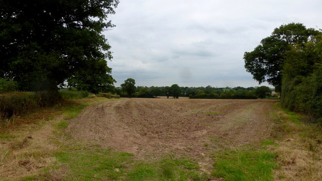
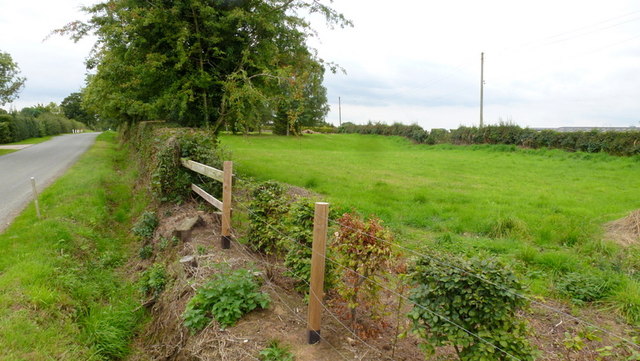
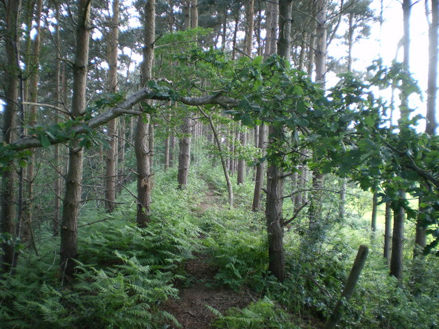
Hawkstone Park is a picturesque and historic park located in Shropshire, England. It is renowned for its striking natural beauty, consisting of rolling hills, dense woodlands, and vast moorland. The park covers an area of approximately 1000 acres and is a popular destination for nature lovers and outdoor enthusiasts.

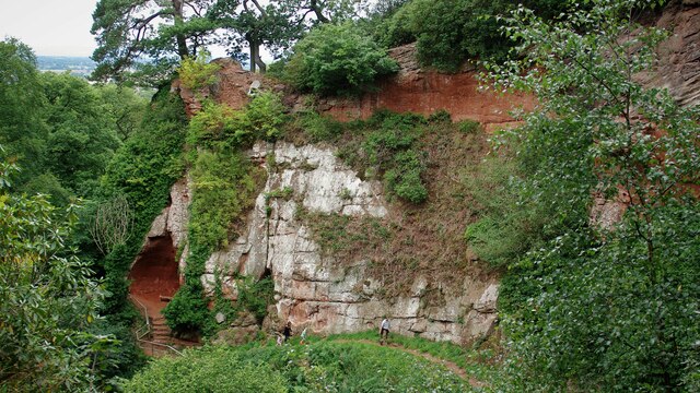
One of the main attractions of Hawkstone Park is the iconic Hawkstone Follies, a collection of unique and dramatic sandstone formations that have been carved by centuries of erosion. These formations, including the famous Grotto, the Needle's Eye, and the Swiss Bridge, offer breathtaking views and are a testament to the park's geological significance.

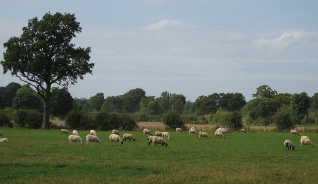
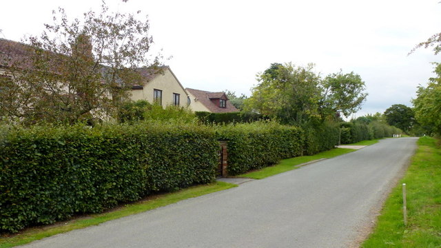
In addition to its natural wonders, Hawkstone Park is also home to a range of leisure activities and attractions. Visitors can explore the park's extensive network of walking trails, which wind through the woodlands and offer opportunities for birdwatching and wildlife spotting. The park also boasts a championship golf course, a Victorian-era hotel, and a variety of dining options.

Hawkstone Park has a rich history dating back to the 18th century when the park was landscaped by Sir Rowland Hill. It has welcomed visitors for centuries and continues to be a popular destination for day trips, family outings, and special events. With its stunning landscapes, diverse flora and fauna, and unique geological features, Hawkstone Park is a true gem in the heart of Shropshire.

If you have any feedback on the listing, please let us know in the comments section below.

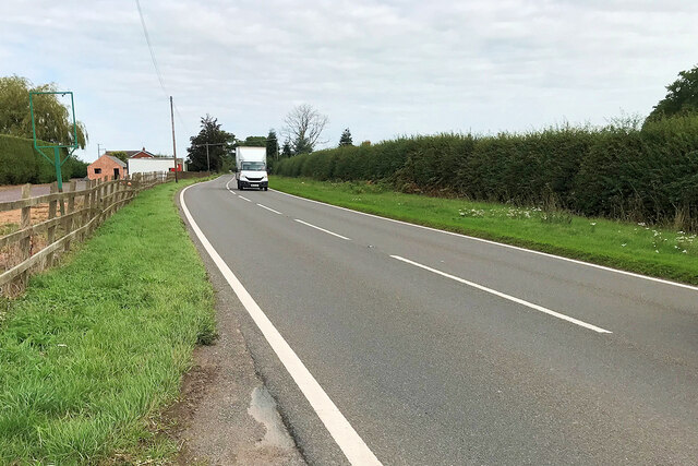
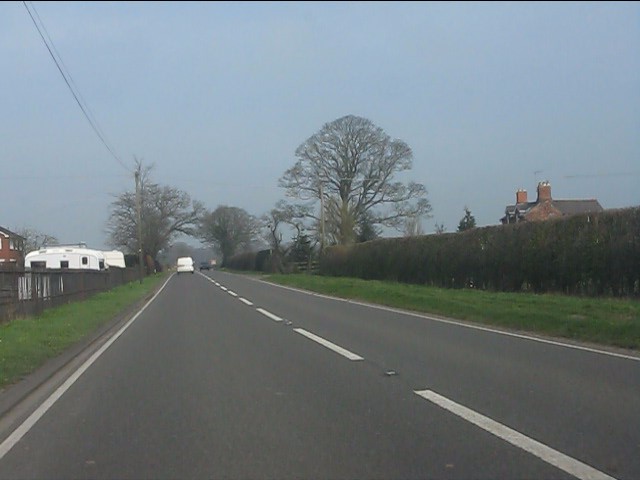
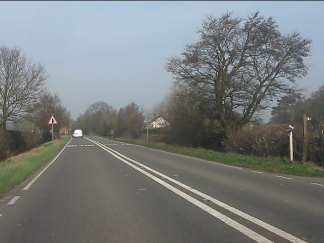
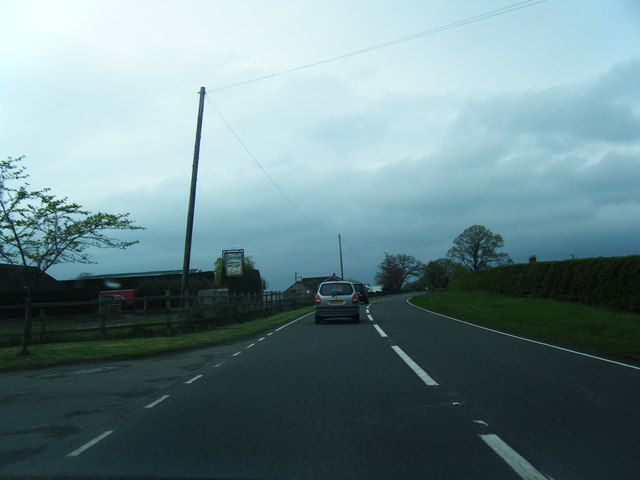
Hawkstone Park Images

Images are sourced within 2km of 52.864925/-2.626833 or Grid Reference SJ5729. Thanks to Geograph Open Source API. All images are credited.

A49 near Linford Farm The A49 is a major road that runs for 158 miles from Bamber Bridge, near Preston, to Ross-on-Wye.

The section north of Warrington is mostly a non-primary road for local traffic, having been largely superseded by the M6 motorway. South of Warrington, the route traverses the Welsh Marches region <span class="nowrap"><a title="https://en.wikipedia.org/wiki/Welsh_Marches" rel="nofollow ugc noopener" href="https://en.wikipedia.org/wiki/Welsh_Marches">Link</a><img style="margin-left:2px;" alt="External link" title="External link - shift click to open in new window" src="https://s1.geograph.org.uk/img/external.png" width="10" height="10"/></span>  , following the hills along the English/Welsh borders although it never actually enters Wales; usually running around ten miles away from the border as it winds its way through Cheshire, Shropshire and Herefordshire although it comes within a couple of miles near Whitchurch. The road is all primary but mainly single carriageway, which means that traffic queues sometimes build up behind tractors or slow-moving goods vehicles.  The stretch between the A5 at Shrewsbury and Ross-on-Wye is a trunk road, maintained by the national Highways England.
<span class="nowrap"><a title="http://www.sabre-roads.org.uk/wiki/index.php?title=A49" rel="nofollow ugc noopener" href="http://www.sabre-roads.org.uk/wiki/index.php?title=A49">Link</a><img style="margin-left:2px;" alt="External link" title="External link - shift click to open in new window" src="https://s1.geograph.org.uk/img/external.png" width="10" height="10"/></span>  SABRE
A49 near Linford Farm
The A49 is a major road that runs for 158 miles from Bamber Bridge, near Preston, to Ross-on-Wye. The section north of Warrington is mostly a non-primary road for local traffic, having been largely superseded by the M6 motorway. South of Warrington, the route traverses the Welsh Marches region LinkExternal link , following the hills along the English/Welsh borders although it never actually enters Wales; usually running around ten miles away from the border as it winds its way through Cheshire, Shropshire and Herefordshire although it comes within a couple of miles near Whitchurch. The road is all primary but mainly single carriageway, which means that traffic queues sometimes build up behind tractors or slow-moving goods vehicles. The stretch between the A5 at Shrewsbury and Ross-on-Wye is a trunk road, maintained by the national Highways England. LinkExternal link SABRE
A49 at Linford Farm
A49 at Linford Farm
A49 south of Nook Lane
A49 northbound
A49 northbound
Hawkstone Park Cliffs Along the walk at the base of the cliffs is Reynard's Banqueting House, a large cave on the left of this view
Hawkstone Park Cliffs
Along the walk at the base of the cliffs is Reynard's Banqueting House, a large cave on the left of this view
Fields surrounding Hawkstone Park Farm Not much in this square - fields and trees. The sign is to warn the traffic on the road that leads to Hawkstone Hall and is in the same square.
Fields surrounding Hawkstone Park Farm
Not much in this square - fields and trees. The sign is to warn the traffic on the road that leads to Hawkstone Hall and is in the same square.
Hawk Lake A view of the lake and surrounding farmland. The lake passes between Hawkstone Abbey Farm and Hawkstone Hall.
Hawk Lake
A view of the lake and surrounding farmland. The lake passes between Hawkstone Abbey Farm and Hawkstone Hall.
Sheep grazing Sheep in a field just north of Linford Farm
Sheep grazing
Sheep in a field just north of Linford Farm
Vale Villas near Marchamley Wood Looking north west over the hedge at the junction of the lanes
Vale Villas near Marchamley Wood
Looking north west over the hedge at the junction of the lanes
Tree in field Lone tree standing in a ploughed field
Tree in field
Lone tree standing in a ploughed field
Field near Hawthorn Cottage Looking north east across the road north of Hawthorn Cottage.
Field near Hawthorn Cottage
Looking north east across the road north of Hawthorn Cottage.
Direction signs Direction signs at road junction near Marchamley
Direction signs
Direction signs at road junction near Marchamley
Broadhay Road Looking west along Broadhay Road, 'The Pines' is just visible at the centre of the picture.
Broadhay Road
Looking west along Broadhay Road, 'The Pines' is just visible at the centre of the picture.
Looking south from Broadhay Road Looking across fields towards Abbey Cottages
Looking south from Broadhay Road
Looking across fields towards Abbey Cottages
Rookery Lane Looking north at Orchard Cottage.
Rookery Lane
Looking north at Orchard Cottage.
Field by Rookery Lane Pictured from the acute angle of the triangular piece of land.
Field by Rookery Lane
Pictured from the acute angle of the triangular piece of land.
Narrow field by Wood Lane Opposite Vale Villas.
Narrow field by Wood Lane
Opposite Vale Villas.
Vale Villas Looking east along Wood Lane.
Vale Villas
Looking east along Wood Lane.
Show me another place!

Hawkstone Park is located at Grid Ref: SJ5729 (Lat: 52.864925, Lng: -2.626833)

Unitary Authority: Shropshire

Police Authority: West Mercia

What 3 Words

///codes.prelude.glance. Near Prees, Shropshire

Related Wikis

Hawkstone Hall

Hawkstone Hall is a 43,400 square feet (4,030 m2) early 18th-century country mansion near Hodnet and Weston-under-Redcastle, Shropshire, England which...

Hawkstone Park

Hawkstone Park is a destination on the English Grand Tour and is a historic landscape park with pleasure grounds and gardens. It historically associated...

Weston-under-Redcastle

Weston-under-Redcastle is an estate village of the Sir Rowland Hill legacy estates. It is a civil parish in Shropshire, England. It lies 10 km (6.2 miles...

Bury Walls

Bury Walls is an Iron Age hillfort about 1 mile (1.6 km) south-east of Weston-under-Redcastle, in Shropshire, England. It is a scheduled monument. ��2...

Nearby Amenities

Located within 500m of 52.864925,-2.626833
Artwork Type: statue
Tourism: artwork
Lat/Long: 52.865091/-2.6238039
Power: pole
Lat/Long: 52.8635465/-2.6215454
Power: pole
Lat/Long: 52.8632125/-2.6204927
Power: pole
Lat/Long: 52.8638008/-2.6223364
Power: pole
Lat/Long: 52.862945/-2.6207196
Power: pole
Lat/Long: 52.8622928/-2.6214923
The data included in this document is from www.openstreetmap.org. The data is made available under ODbL.

Have you been to Hawkstone Park?

Leave your review of Hawkstone Park below (or comments, questions and feedback).