Whatcombe Down

Downs, Moorland in Dorset

England

Whatcombe Down

Bridehead Lake, Little Bredy
Bridehead Lake, Little Bredy Credit: Gary Rogers

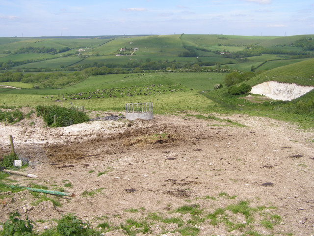
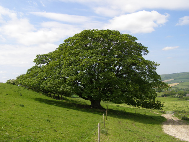
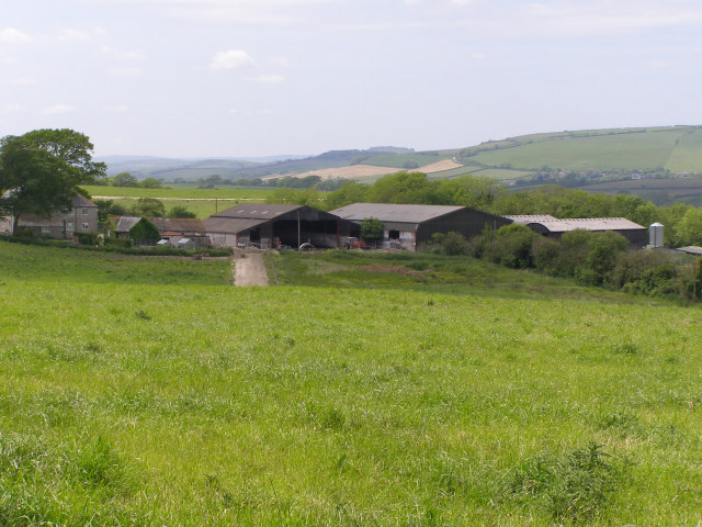
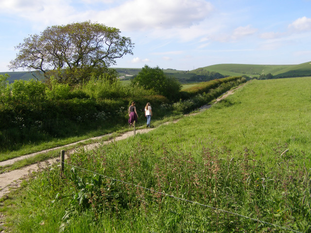
Whatcombe Down is a picturesque area located in Dorset, England. Situated within the larger range of Dorset Downs, it is known for its breathtaking natural beauty and diverse landscape. The area encompasses both downs and moorland, offering a unique blend of rolling hills and open expanses.

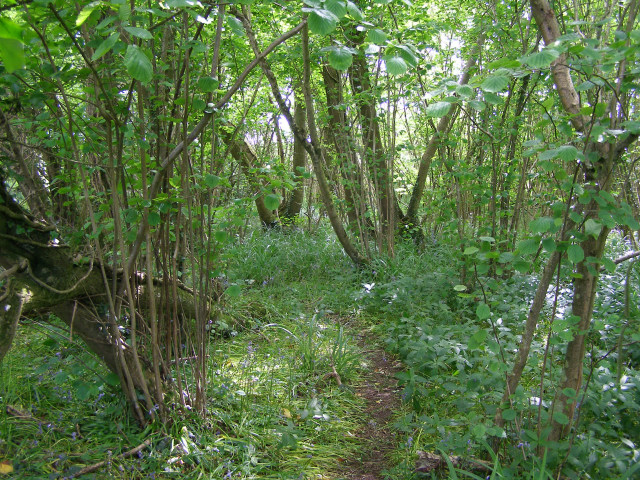
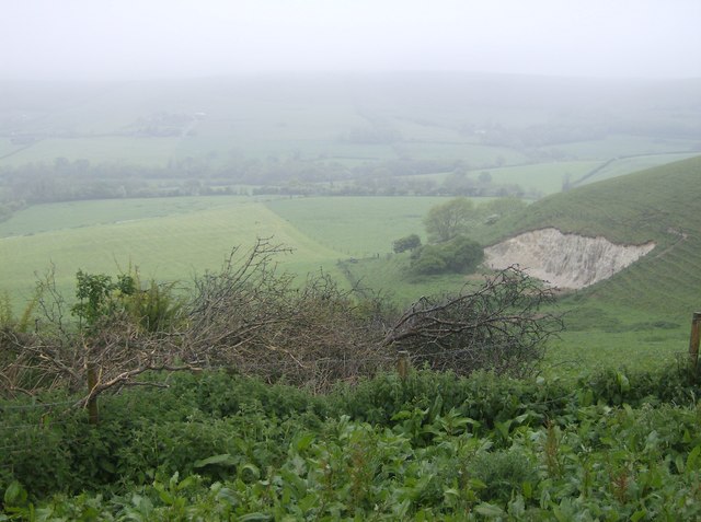
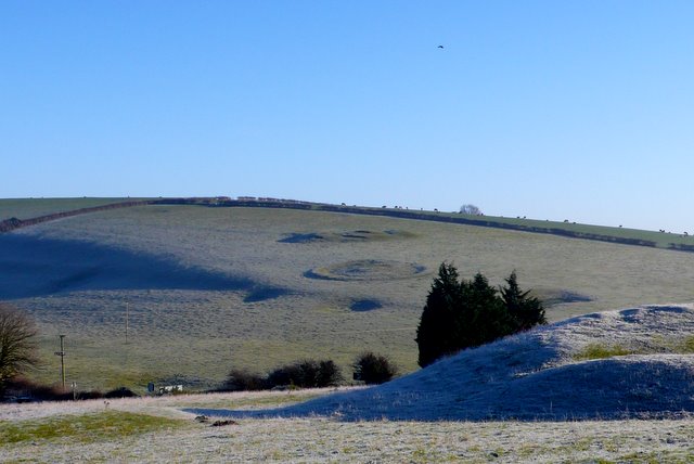
Covering a considerable expanse of land, Whatcombe Down is home to a rich variety of flora and fauna. The downs are characterized by gently sloping hills covered in lush green grass, punctuated by occasional patches of wildflowers. These hills provide a perfect habitat for various species of birds, butterflies, and small mammals.

In contrast, the moorland areas of Whatcombe Down offer a different scenery altogether. Here, visitors can explore vast expanses of heather and gorse, creating a colorful and vibrant landscape. Moorland birds such as skylarks and stonechats can often be spotted, adding to the area's natural charm.

The area is also known for its historical significance. Ancient burial mounds and prehistoric earthworks can be found scattered throughout Whatcombe Down, serving as reminders of the area's rich past. These archaeological sites offer a glimpse into the lives of the early inhabitants of the region and attract history enthusiasts from far and wide.

Overall, Whatcombe Down in Dorset provides a tranquil and picturesque setting for nature lovers and history enthusiasts alike. With its stunning downs, expansive moorland, and rich history, it offers a diverse and captivating experience for visitors.

If you have any feedback on the listing, please let us know in the comments section below.

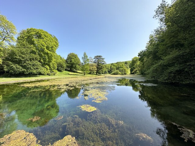
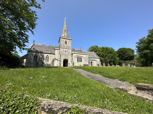
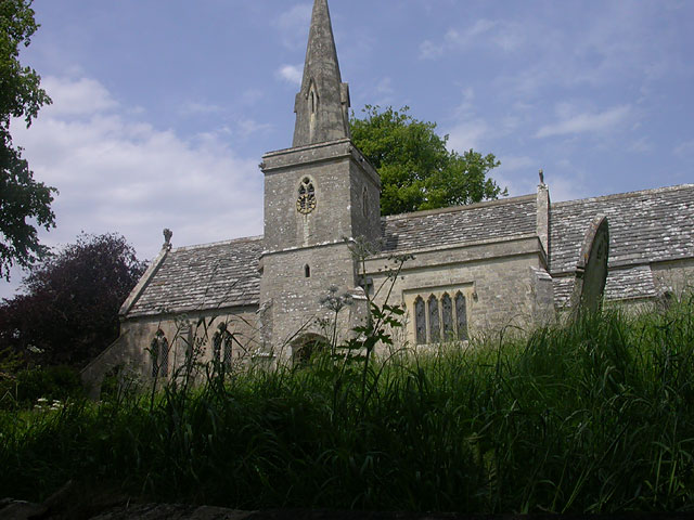
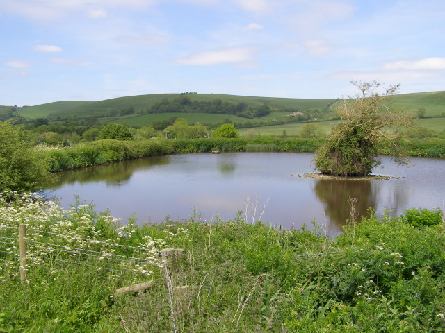
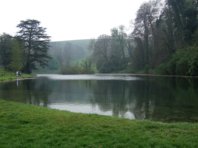
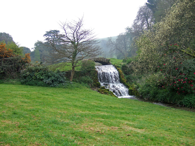
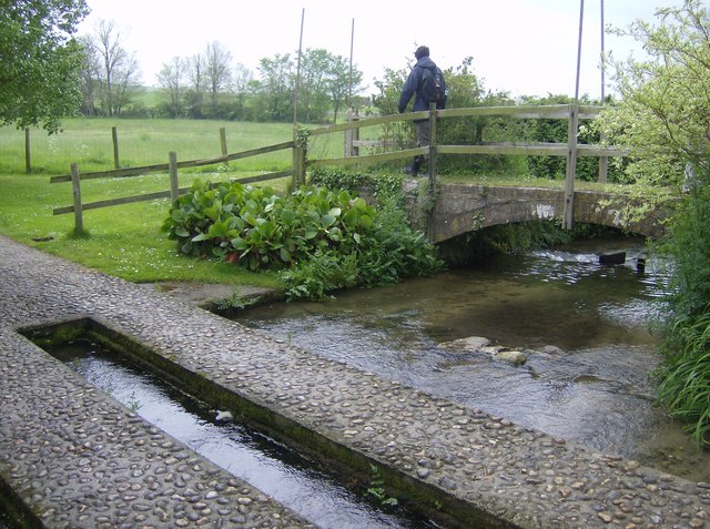
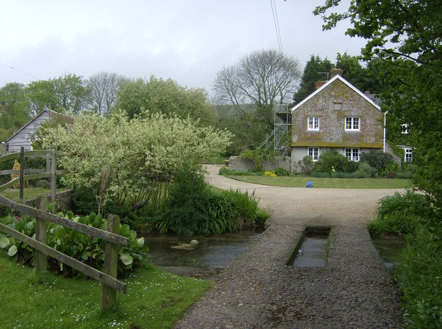
Whatcombe Down Images

Images are sourced within 2km of 50.707924/-2.597234 or Grid Reference SY5789. Thanks to Geograph Open Source API. All images are credited.

Bridehead Lake, Little Bredy
St. Michael and All Angels Little Bredy
St. Michael and All Angels
Little Bredy
Church of St Michael and All Angels, Little Bredy
Pond northwest of Lower Kingston Russell Farm This pond is alongside the Macmillan Way footpath, a few hundred metres northwest of Lower Kingston Russell Farm. One of the west Dorset chalk ridgeways dominates the background - with Long Barrow Hill on the far left and Whatcombe Down on the right.
Pond northwest of Lower Kingston Russell Farm
This pond is alongside the Macmillan Way footpath, a few hundred metres northwest of Lower Kingston Russell Farm. One of the west Dorset chalk ridgeways dominates the background - with Long Barrow Hill on the far left and Whatcombe Down on the right.
View north from Tenants Hill Descending from Tenants Hill on the Macmillan Way footpath, this is the view northwest towards Pitcombe Down. In the middle distance is a dairy herd from Lower Kingston Russell Farm, and on the right is what looks like a freshly dug chalk pit (it's bright white and it's not marked on the most recent OS map).
View north from Tenants Hill
Descending from Tenants Hill on the Macmillan Way footpath, this is the view northwest towards Pitcombe Down. In the middle distance is a dairy herd from Lower Kingston Russell Farm, and on the right is what looks like a freshly dug chalk pit (it's bright white and it's not marked on the most recent OS map).
Spreading sycamore on the slopes of Tenants Hill Descending Tenants Hill on the Macmillan Way footpath, this huge spreading sycamore grows on the chalky slope with few other trees for company.
Spreading sycamore on the slopes of Tenants Hill
Descending Tenants Hill on the Macmillan Way footpath, this huge spreading sycamore grows on the chalky slope with few other trees for company.
Lower Kingston Russell farm Labelled on the 1940s OS map as "Kingston Russell Dairy" this farm still maintains a large dairy herd depastured on the chalky northern slopes of Tenants Hill.
Lower Kingston Russell farm
Labelled on the 1940s OS map as "Kingston Russell Dairy" this farm still maintains a large dairy herd depastured on the chalky northern slopes of Tenants Hill.
Hazel coppice near Lower Kingston Russell Farm The Macmillan Way footpath passes through this hazel coppice east of Lower Kingston Russell farm. A few bluebell flowers persist in the undergrowth, although now its June they are past their best.
Hazel coppice near Lower Kingston Russell Farm
The Macmillan Way footpath passes through this hazel coppice east of Lower Kingston Russell farm. A few bluebell flowers persist in the undergrowth, although now its June they are past their best.
Footpath to Lower Farm, Long Bredy On the map the footpath crosses the field, in reality there is an electric fence around the field so the track at the edge is a better route. Annoyingly the footpath doesn't actually join with the public road at Lower Farm.
Footpath to Lower Farm, Long Bredy
On the map the footpath crosses the field, in reality there is an electric fence around the field so the track at the edge is a better route. Annoyingly the footpath doesn't actually join with the public road at Lower Farm.
Bridehead The source of the River Bride at Littlebredy.
Bridehead
The source of the River Bride at Littlebredy.
Waterfall at the Bridehead Outflow
Bridehead House from the Littlebredy road Pevsner describes this (Buildings of England: Dorset) as essentially an early 19th century Tudor style building, with some 16th century work inside. The house was rebuilt circa 1837 by F. P. Robinson, and extended westwards by Benjamin Ferrey during the 1850's. It is Grade II* listed.
Bridehead House from the Littlebredy road
Pevsner describes this (Buildings of England: Dorset) as essentially an early 19th century Tudor style building, with some 16th century work inside. The house was rebuilt circa 1837 by F. P. Robinson, and extended westwards by Benjamin Ferrey during the 1850's. It is Grade II* listed.
Littlebredy Cricket Pavilion Presumably this belongs to the village of Littlebredy, and not to the big house (Bridehead) beyond.
Littlebredy Cricket Pavilion
Presumably this belongs to the village of Littlebredy, and not to the big house (Bridehead) beyond.
Ford and bridge near Watergate House A high class ford with concrete tracks for most vehicles, with a well-constructed bridge for pedestrians, gives access to Watergate House.
Ford and bridge near Watergate House
A high class ford with concrete tracks for most vehicles, with a well-constructed bridge for pedestrians, gives access to Watergate House.
Ford and access to Watergate House This ford gives access to Watergate House.  It is also on the Macmillan Way long distance path from Lincolnshire to Dorset.
Ford and access to Watergate House
This ford gives access to Watergate House. It is also on the Macmillan Way long distance path from Lincolnshire to Dorset.
Pond near Lower Kingston Russell Farm Compare and contrast with Jim Champion's picture <a href="https://www.geograph.org.uk/photo/179088">SY5789 : Pond northwest of Lower Kingston Russell Farm</a> taken on a much brighter day.
Pond near Lower Kingston Russell Farm
Compare and contrast with Jim Champion's picture SY5789 : Pond northwest of Lower Kingston Russell Farm taken on a much brighter day.
Ascent of Tenants Hill The right of way heads from here straight towards the sycamore halfway up Tenants Hill, but the accepted line is along the farm track to the left.  It's not a smear on the windscreen between the second and third fence posts (not a car for miles), it's a rain blob on the camera lens!
Ascent of Tenants Hill
The right of way heads from here straight towards the sycamore halfway up Tenants Hill, but the accepted line is along the farm track to the left. It's not a smear on the windscreen between the second and third fence posts (not a car for miles), it's a rain blob on the camera lens!
From Tenants Hill Despite the mist the view north clearly shows how the steep hill with the small quarry levels out, and how the contours on the map reflect this.
From Tenants Hill
Despite the mist the view north clearly shows how the steep hill with the small quarry levels out, and how the contours on the map reflect this.
Show me another place!

Whatcombe Down is located at Grid Ref: SY5789 (Lat: 50.707924, Lng: -2.597234)

Unitary Authority: Dorset

Police Authority: Dorset

What 3 Words

///budgeted.diverting.translated. Near Maiden Newton, Dorset

Related Wikis

Pitcombe Down

Pitcombe Down (grid reference SY585897) is a 13.2 hectare biological Site of Special Scientific Interest in Dorset, notified in 1954. == Sources == English...

Kingston Russell House

Kingston Russell House is a large mansion house and manor near Long Bredy in Dorset, England, west of Dorchester. The present house dates from the late...

Long Bredy

Long Bredy is a village and civil parish in the county of Dorset in south-west England, situated approximately 7 miles (11 km) west of the county town...

Poor Lot Barrow Cemetery

Poor Lot Barrow Cemetery is an archaeological site, a group of Bronze Age round barrows, near the A35 road about 2 miles (3.2 km) west of Winterbourne...

Nearby Amenities

Located within 500m of 50.707924,-2.597234
Turning Circle
Lat/Long: 50.7050354/-2.5926385
The data included in this document is from www.openstreetmap.org. The data is made available under ODbL.

Have you been to Whatcombe Down?

Leave your review of Whatcombe Down below (or comments, questions and feedback).