Red Castle

Heritage Site in Shropshire

England

Red Castle

A49 near Linford Farm The A49 is a major road that runs for 158 miles from Bamber Bridge, near Preston, to Ross-on-Wye.

The section north of Warrington is mostly a non-primary road for local traffic, having been largely superseded by the M6 motorway. South of Warrington, the route traverses the Welsh Marches region <span class="nowrap"><a title="https://en.wikipedia.org/wiki/Welsh_Marches" rel="nofollow ugc noopener" href="https://en.wikipedia.org/wiki/Welsh_Marches">Link</a><img style="margin-left:2px;" alt="External link" title="External link - shift click to open in new window" src="https://s1.geograph.org.uk/img/external.png" width="10" height="10"/></span>  , following the hills along the English/Welsh borders although it never actually enters Wales; usually running around ten miles away from the border as it winds its way through Cheshire, Shropshire and Herefordshire although it comes within a couple of miles near Whitchurch. The road is all primary but mainly single carriageway, which means that traffic queues sometimes build up behind tractors or slow-moving goods vehicles.  The stretch between the A5 at Shrewsbury and Ross-on-Wye is a trunk road, maintained by the national Highways England.
<span class="nowrap"><a title="http://www.sabre-roads.org.uk/wiki/index.php?title=A49" rel="nofollow ugc noopener" href="http://www.sabre-roads.org.uk/wiki/index.php?title=A49">Link</a><img style="margin-left:2px;" alt="External link" title="External link - shift click to open in new window" src="https://s1.geograph.org.uk/img/external.png" width="10" height="10"/></span>  SABRE
A49 near Linford Farm Credit: David Dixon

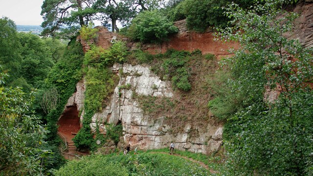
Red Castle is a historic landmark located in the county of Shropshire, England. Situated near the village of Clun, this heritage site is an ancient fortress that dates back to the early medieval period. The castle is perched on a hilltop, offering panoramic views of the surrounding countryside.

Originally built in the 12th century, Red Castle was constructed as a defensive structure by the powerful Fitzalan family. It served as a strategic stronghold, guarding the Welsh border and acting as a deterrent against potential invaders. The castle’s name is derived from the distinctive red sandstone used in its construction.

Over the centuries, Red Castle underwent several modifications and additions. The original Norman keep was expanded, and a curtain wall with towers was constructed to enhance its defensive capabilities. The castle changed hands multiple times, with different families making their mark on the structure.

Today, Red Castle stands as a picturesque ruin, with much of its original grandeur still visible. Visitors can explore the remnants of the keep, which includes a large square tower and parts of the curtain wall. The site is surrounded by scenic countryside, making it a popular destination for hikers and nature enthusiasts.

Managed by English Heritage, Red Castle offers visitors a glimpse into the region’s medieval history. Its strategic location, architectural features, and historical significance make it a captivating heritage site for those interested in the rich past of Shropshire and the Welsh Marches.

If you have any feedback on the listing, please let us know in the comments section below.
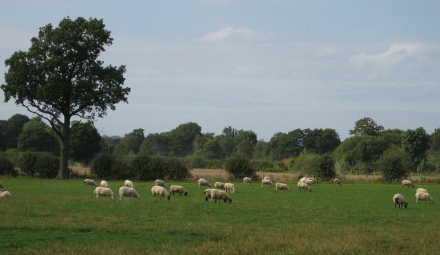
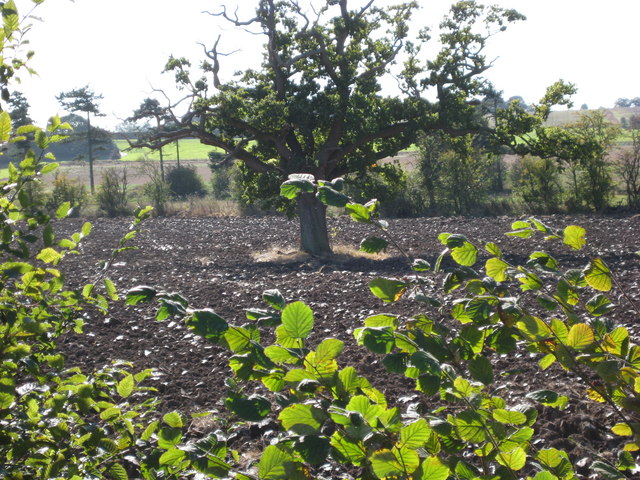
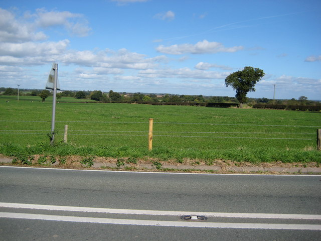
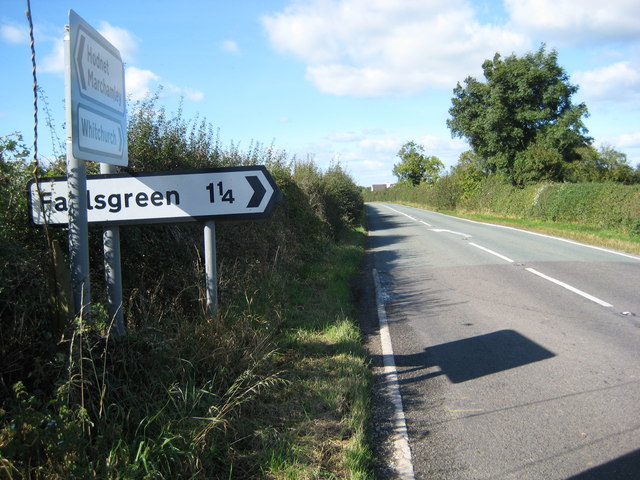
Red Castle Images

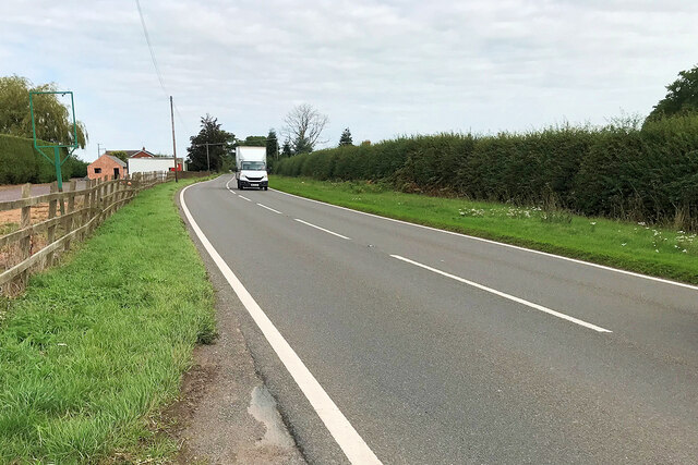
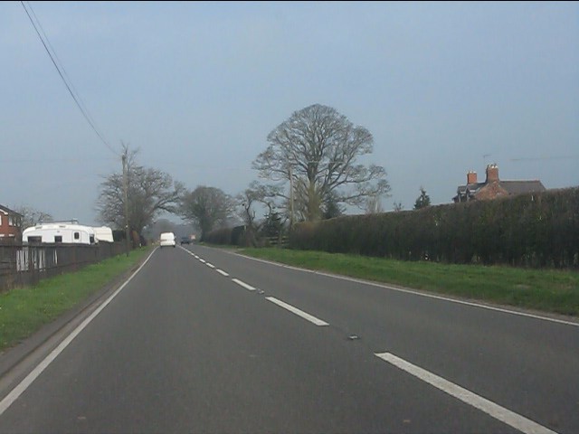
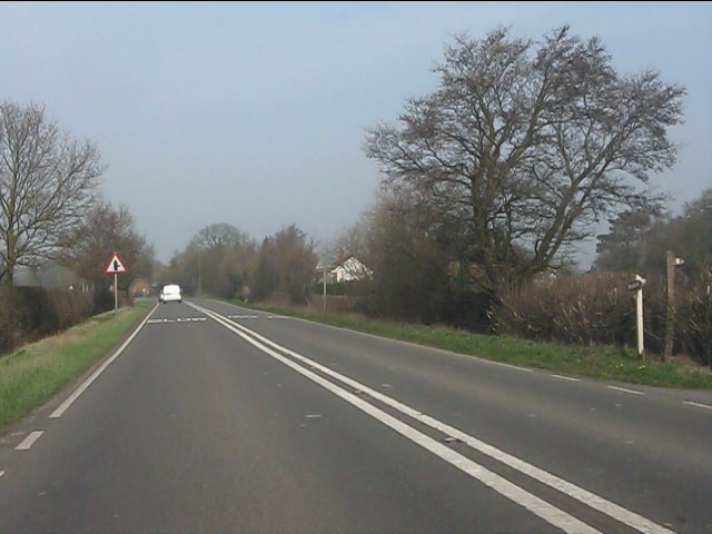
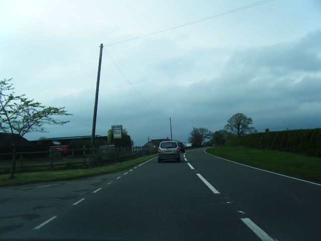
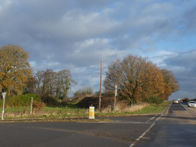
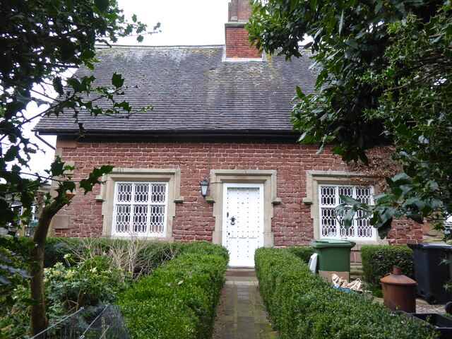
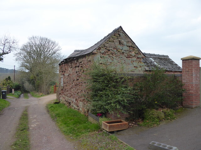
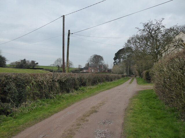
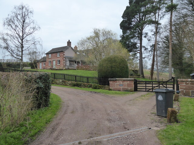
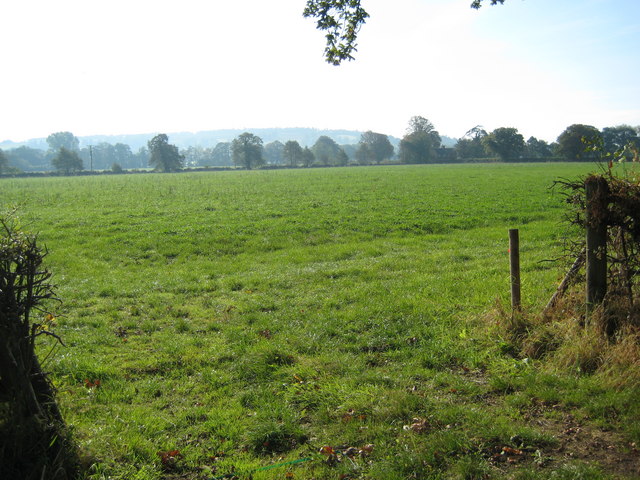
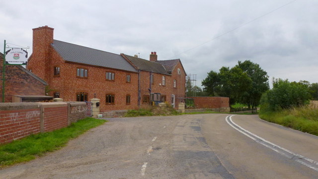
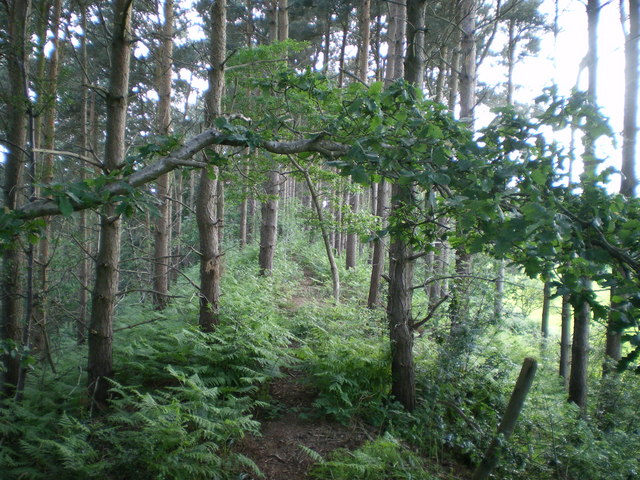
Images are sourced within 2km of 52.862/-2.632 or Grid Reference SJ5729. Thanks to Geograph Open Source API. All images are credited.

A49 near Linford Farm The A49 is a major road that runs for 158 miles from Bamber Bridge, near Preston, to Ross-on-Wye.

The section north of Warrington is mostly a non-primary road for local traffic, having been largely superseded by the M6 motorway. South of Warrington, the route traverses the Welsh Marches region <span class="nowrap"><a title="https://en.wikipedia.org/wiki/Welsh_Marches" rel="nofollow ugc noopener" href="https://en.wikipedia.org/wiki/Welsh_Marches">Link</a><img style="margin-left:2px;" alt="External link" title="External link - shift click to open in new window" src="https://s1.geograph.org.uk/img/external.png" width="10" height="10"/></span>  , following the hills along the English/Welsh borders although it never actually enters Wales; usually running around ten miles away from the border as it winds its way through Cheshire, Shropshire and Herefordshire although it comes within a couple of miles near Whitchurch. The road is all primary but mainly single carriageway, which means that traffic queues sometimes build up behind tractors or slow-moving goods vehicles.  The stretch between the A5 at Shrewsbury and Ross-on-Wye is a trunk road, maintained by the national Highways England.
<span class="nowrap"><a title="http://www.sabre-roads.org.uk/wiki/index.php?title=A49" rel="nofollow ugc noopener" href="http://www.sabre-roads.org.uk/wiki/index.php?title=A49">Link</a><img style="margin-left:2px;" alt="External link" title="External link - shift click to open in new window" src="https://s1.geograph.org.uk/img/external.png" width="10" height="10"/></span>  SABRE
A49 near Linford Farm
The A49 is a major road that runs for 158 miles from Bamber Bridge, near Preston, to Ross-on-Wye. The section north of Warrington is mostly a non-primary road for local traffic, having been largely superseded by the M6 motorway. South of Warrington, the route traverses the Welsh Marches region LinkExternal link , following the hills along the English/Welsh borders although it never actually enters Wales; usually running around ten miles away from the border as it winds its way through Cheshire, Shropshire and Herefordshire although it comes within a couple of miles near Whitchurch. The road is all primary but mainly single carriageway, which means that traffic queues sometimes build up behind tractors or slow-moving goods vehicles. The stretch between the A5 at Shrewsbury and Ross-on-Wye is a trunk road, maintained by the national Highways England. LinkExternal link SABRE
A49 at Linford Farm
A49 at Linford Farm
A49 south of Nook Lane
A49 northbound
A49 northbound
Crossroads north of Wixhill and Weston The open space between the hedge on the left and the trees in the centre appears to be the result of using part of a former field for housing and the realignment of the A49 around the crossroads
Crossroads north of Wixhill and Weston
The open space between the hedge on the left and the trees in the centre appears to be the result of using part of a former field for housing and the realignment of the A49 around the crossroads
Pretty cottage in Weston Heath Striking.
Pretty cottage in Weston Heath
Striking.
Outbuilding beside the track Eye-catching and crooked old structure, which I have snapped before and couldn't resist again.
Outbuilding beside the track
Eye-catching and crooked old structure, which I have snapped before and couldn't resist again.
View towards Mulberry Cottage Striking rural home.
View towards Mulberry Cottage
Striking rural home.
Mulberry Cottage Much extended - in fact the extensions dwarf the original cottage by half - but sweet nonetheless.
Mulberry Cottage
Much extended - in fact the extensions dwarf the original cottage by half - but sweet nonetheless.
Hawkstone Park Cliffs Along the walk at the base of the cliffs is Reynard's Banqueting House, a large cave on the left of this view
Hawkstone Park Cliffs
Along the walk at the base of the cliffs is Reynard's Banqueting House, a large cave on the left of this view
Fields surrounding Hawkstone Park Farm Not much in this square - fields and trees. The sign is to warn the traffic on the road that leads to Hawkstone Hall and is in the same square.
Fields surrounding Hawkstone Park Farm
Not much in this square - fields and trees. The sign is to warn the traffic on the road that leads to Hawkstone Hall and is in the same square.
Hawk Lake A view of the lake and surrounding farmland. The lake passes between Hawkstone Abbey Farm and Hawkstone Hall.
Hawk Lake
A view of the lake and surrounding farmland. The lake passes between Hawkstone Abbey Farm and Hawkstone Hall.
Sheep grazing Sheep in a field just north of Linford Farm
Sheep grazing
Sheep in a field just north of Linford Farm
Tree in field Lone tree standing in a ploughed field
Tree in field
Lone tree standing in a ploughed field
Field near Hawthorn Cottage Looking north east across the road north of Hawthorn Cottage.
Field near Hawthorn Cottage
Looking north east across the road north of Hawthorn Cottage.
Direction signs Direction signs at road junction near Marchamley
Direction signs
Direction signs at road junction near Marchamley
Looking south from Broadhay Road Looking across fields towards Abbey Cottages
Looking south from Broadhay Road
Looking across fields towards Abbey Cottages
Wood Farm, Marchamley Substantial buildings by a bend in the road from Marchamley to Prees Heath.
Wood Farm, Marchamley
Substantial buildings by a bend in the road from Marchamley to Prees Heath.
Show me another place!

Red Castle is located at Grid Ref: SJ5729 (Lat: 52.862, Lng: -2.632)

Unitary Authority: Shropshire

Police Authority: West Mercia

What 3 Words

///witless.superhero.lists. Near Prees, Shropshire

Related Wikis

Hawkstone Hall

Hawkstone Hall is a 43,400 square feet (4,030 m2) early 18th-century country mansion near Hodnet and Weston-under-Redcastle, Shropshire, England which...

Hawkstone Park

Hawkstone Park is a destination on the English Grand Tour and is a historic landscape park with pleasure grounds and gardens. It historically associated...

Weston-under-Redcastle

Weston-under-Redcastle is an estate village of the Sir Rowland Hill legacy estates. It is a civil parish in Shropshire, England. It lies 10 km (6.2 miles...

Bury Walls

Bury Walls is an Iron Age hillfort about 1 mile (1.6 km) south-east of Weston-under-Redcastle, in Shropshire, England. It is a scheduled monument. ��2...

Nearby Amenities

Located within 500m of 52.862,-2.632
Gothic Arch
Historic: monument
Source: bing
Lat/Long: 52.8630893/-2.635716
Elysian Hill
Natural: peak
Lat/Long: 52.8575296/-2.6315291
Grotto Hill
Natural: peak
Lat/Long: 52.8638136/-2.6360471
Red Castle
Historic: castle
Lat/Long: 52.8610151/-2.6383488
Natural: cave_entrance
Lat/Long: 52.8634172/-2.6355352
Natural: cave_entrance
Lat/Long: 52.8630212/-2.6356036
Natural: cave_entrance
Lat/Long: 52.8610359/-2.6324252
Tourism: viewpoint
Lat/Long: 52.8612087/-2.6325589
Tourism: viewpoint
Lat/Long: 52.8629786/-2.6356276
Tourism: viewpoint
Lat/Long: 52.8632245/-2.6363794
Natural: cave_entrance
Lat/Long: 52.8586275/-2.6288901
Natural: cave_entrance
Lat/Long: 52.8639467/-2.6365256
Power: pole
Lat/Long: 52.8580871/-2.6297831
Power: pole
Lat/Long: 52.8585702/-2.6303713
Power: pole
Lat/Long: 52.8591202/-2.6312251
Power: pole
Lat/Long: 52.859522/-2.6318235
Power: pole
Lat/Long: 52.8599706/-2.632563
The data included in this document is from www.openstreetmap.org. The data is made available under ODbL.

Have you been to Red Castle?

Leave your review of Red Castle below (or comments, questions and feedback).