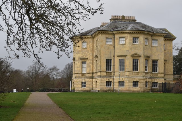
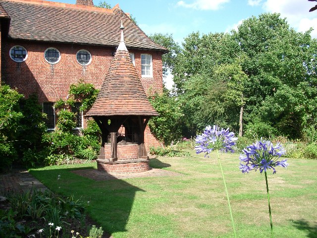
Red House
Heritage Site in Kent
England
Red House
The requested URL returned error: 429 Too Many Requests
If you have any feedback on the listing, please let us know in the comments section below.
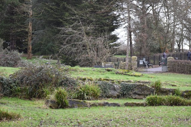
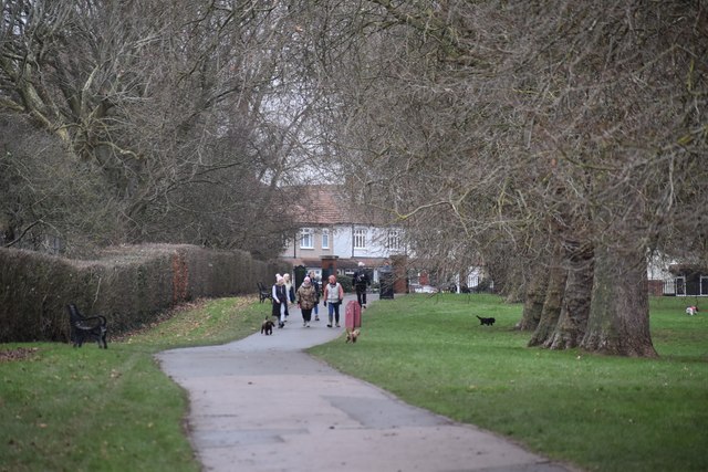
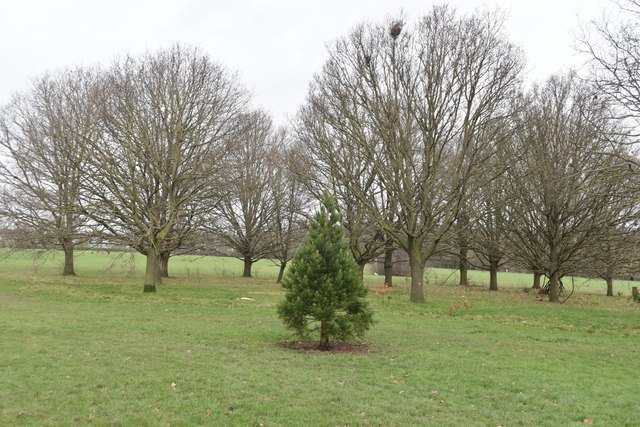
Red House Images
Images are sourced within 2km of 51.456/0.13 or Grid Reference TQ4875. Thanks to Geograph Open Source API. All images are credited.
Red House is located at Grid Ref: TQ4875 (Lat: 51.456, Lng: 0.13)
Unitary Authority: Bexley
Police Authority: Metropolitan
What 3 Words
///myself.tricks.slows. Near Bexleyheath, London
Nearby Locations
Related Wikis
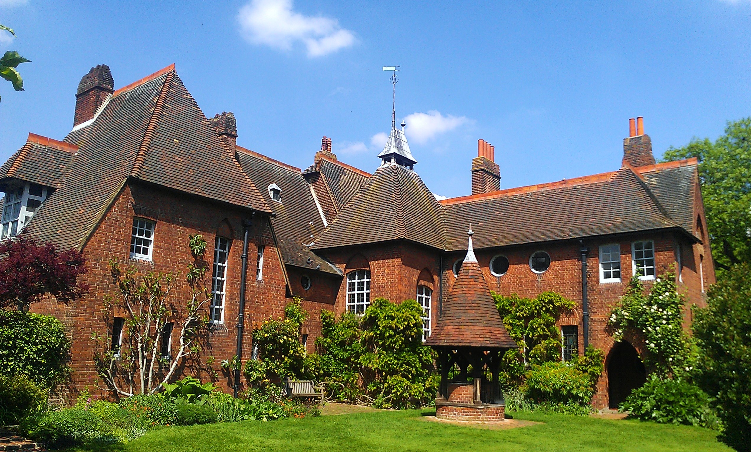
Red House, Bexleyheath
Red House is a significant Arts and Crafts building located in Bexleyheath, south-east London, England. Co-designed in 1859 by the architect Philip Webb...

Bexley Hospital, Bexleyheath
Bexley Hospital, Bexleyheath was a cottage hospital on Upton Road in Bexleyheath, founded in 1884 and paid for by the Bexley United Charities. It was...

Crook Log
Crook Log is a locality around Watling Street (A207) within the London Borough of Bexley. It lies at the western edge of Bexleyheath along the boundary...

Royal Oak, Bexleyheath
The Royal Oak is a pub in Mount Road, Bexleyheath, Kent. It is a Grade II listed building, built in the early 19th century. == See also == Pub names §...
Nearby Amenities
Located within 500m of 51.456,0.13Have you been to Red House?
Leave your review of Red House below (or comments, questions and feedback).