Red Castle

Heritage Site in Angus

Scotland

Red Castle

House over the river From the northside of Lunan Water as it meets the sea at the southern end of the beach. 

Showing the wartime defences to prevent access from the beach.
House over the river Credit: Jacqueline Hamilton

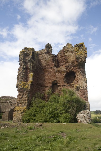
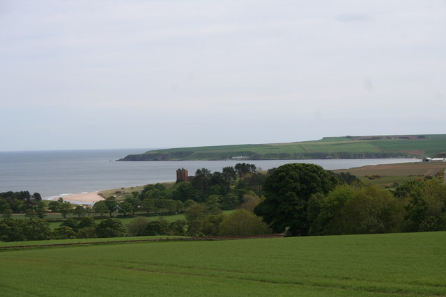
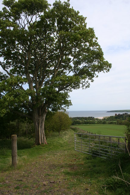
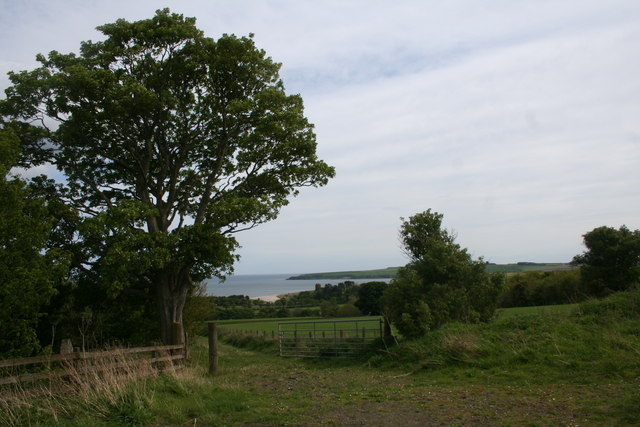
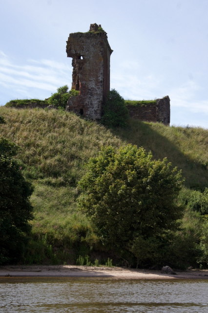
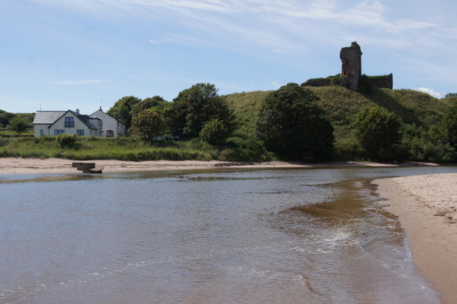
Red Castle, located in Angus, Scotland, is a historic site that dates back to the 12th century. The castle sits atop a rocky promontory overlooking the North Sea, providing stunning views of the surrounding coastline. Originally built by the Earl of Angus, the castle was later owned by the Douglas family before falling into ruin in the 16th century.

The castle is known for its distinctive red sandstone construction, which gives it its name. The remains of the castle include a tower house, curtain wall, and various outbuildings. Visitors to the site can explore the ruins and imagine what life was like for the inhabitants of the castle centuries ago.

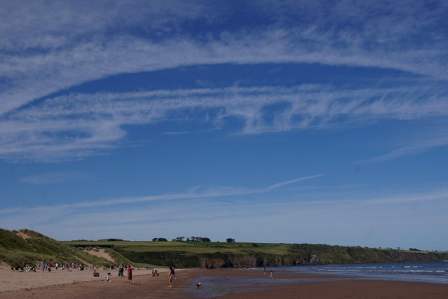
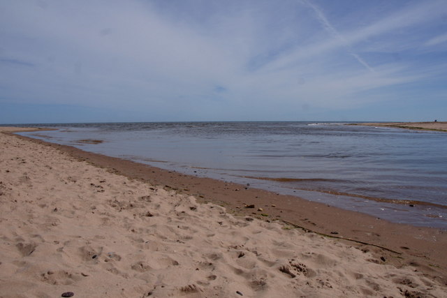
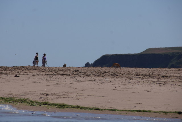
In addition to its historical significance, Red Castle is also surrounded by beautiful natural landscapes, making it a popular destination for hikers and nature enthusiasts. The site is also a designated Scheduled Monument, ensuring its protection and preservation for future generations to enjoy.

Overall, Red Castle in Angus is a fascinating heritage site that offers a glimpse into Scotland’s rich history and stunning natural beauty.

If you have any feedback on the listing, please let us know in the comments section below.
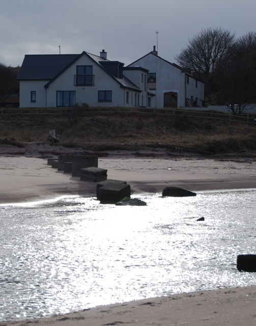
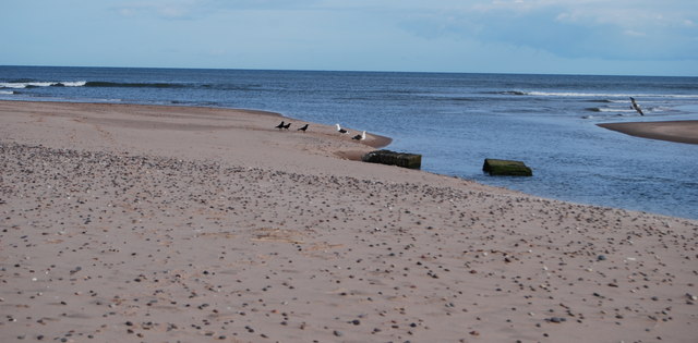
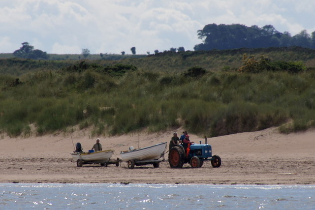
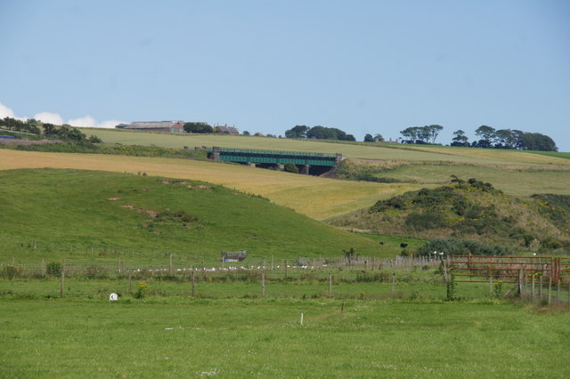
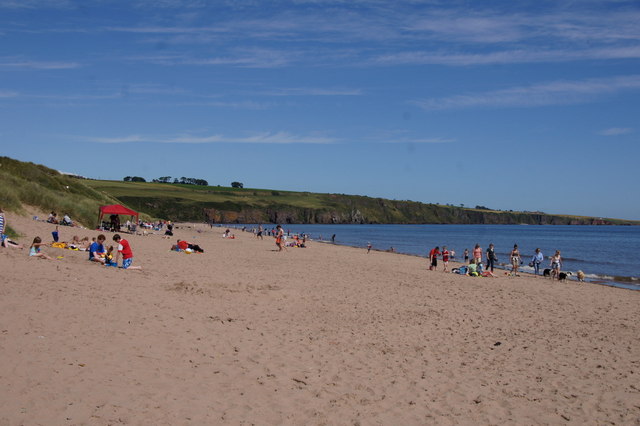
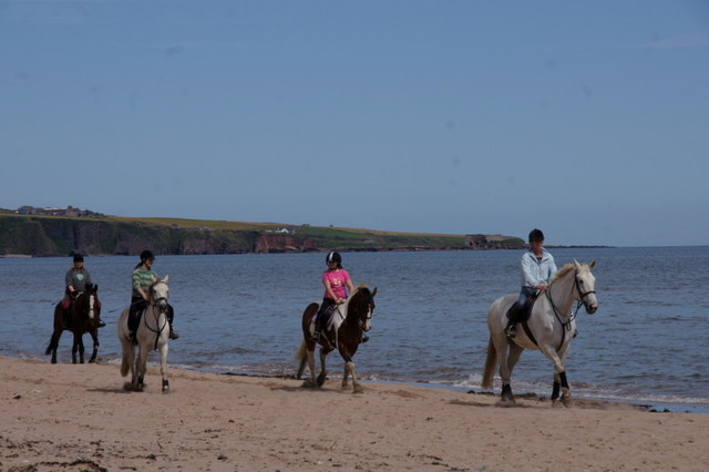
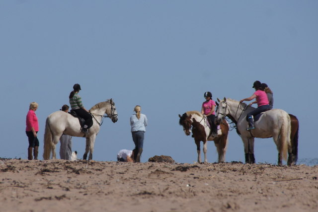
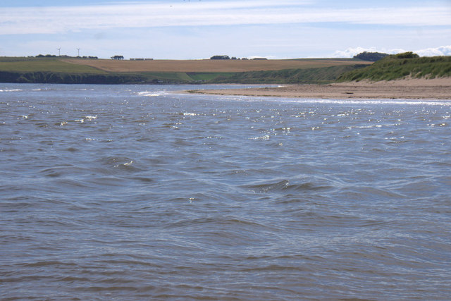
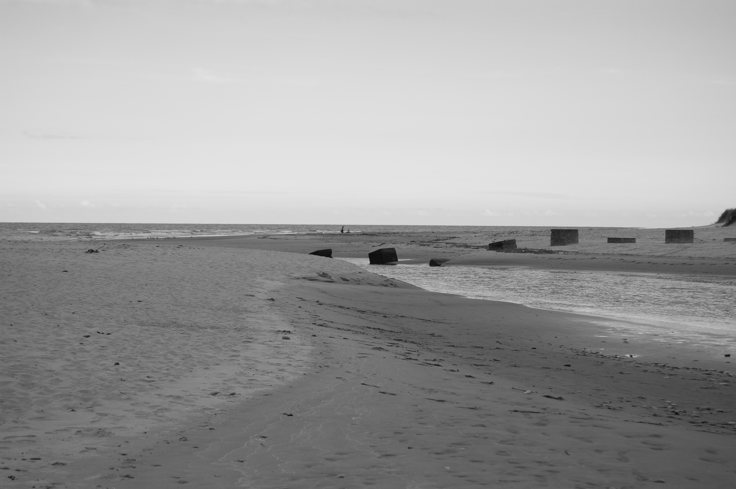
Red Castle Images

Images are sourced within 2km of 56.645/-2.513 or Grid Reference NO6850. Thanks to Geograph Open Source API. All images are credited.

House over the river From the northside of Lunan Water as it meets the sea at the southern end of the beach. 

Showing the wartime defences to prevent access from the beach.
House over the river
From the northside of Lunan Water as it meets the sea at the southern end of the beach. Showing the wartime defences to prevent access from the beach.
Lunan Water to the North Sea As the title with a couple of the remaining war time defences in the river.
Lunan Water to the North Sea
As the title with a couple of the remaining war time defences in the river.
Red Castle Lunan Bay and the ruin of Red Castle.
Red Castle
Lunan Bay and the ruin of Red Castle.
Track by Lunan A farm track by Lunan.
Track by Lunan
A farm track by Lunan.
Lunan Farmland Fields above Lunan bay.
Lunan Farmland
Fields above Lunan bay.
Lunan Bay cafe
Lunan Bay cafe
Lunan Bay Looking north towards Rickle Craig.
Lunan Bay
Looking north towards Rickle Craig.
Tractor hauling boats on the beach at Lunan Bay
Fields behind Lunan Bay Looking towards the railway bridge over Buckie Den.
Fields behind Lunan Bay
Looking towards the railway bridge over Buckie Den.
Lunan Bay beach  Looking north on the north end of the beach.
Lunan Bay beach
Looking north on the north end of the beach.
Horses on Lunan Bay beach Excersing horses on the beach would seem to be a regular occurrence as these were one of two groups seen during the day.
Horses on Lunan Bay beach
Excersing horses on the beach would seem to be a regular occurrence as these were one of two groups seen during the day.
Lunan Water entering the sea at Lunan Bay At high tide.
Lunan Water entering the sea at Lunan Bay
At high tide.
Walking on the southern part of Lunan Bay beach Access to the part of the Lunan Bay beach south of Lunan Water is more difficult so there are relatively few people to be seen on this part of the beach.
Walking on the southern part of Lunan Bay beach
Access to the part of the Lunan Bay beach south of Lunan Water is more difficult so there are relatively few people to be seen on this part of the beach.
Red Castle, Lunan Bay Originally built for King William the Lion in the 12th century, the castle has been in a ruinous state since the 16th century.
Red Castle, Lunan Bay
Originally built for King William the Lion in the 12th century, the castle has been in a ruinous state since the 16th century.
Red Castle and Lunan Water The ruinous castle is on the right; the house to the left is called Redcastle.
Red Castle and Lunan Water
The ruinous castle is on the right; the house to the left is called Redcastle.
Horses on Lunan Bay beach Resting beside the mouth of Lunan Water.
Horses on Lunan Bay beach
Resting beside the mouth of Lunan Water.
The south part of Lunan Bay Looking across the mouth of Lunan Water.
The south part of Lunan Bay
Looking across the mouth of Lunan Water.
Show me another place!

Red Castle is located at Grid Ref: NO6850 (Lat: 56.645, Lng: -2.513)

What 3 Words

///taskbar.flamenco.blissful. Near Montrose, Angus

Nearby Locations

Red Castle

Related Wikis

Red Castle, Angus

Red Castle of Lunan is a ruined fortified house on the coast of Angus, Scotland. It is about 4 miles (6.4 km) south-southwest of Montrose. == History... ==

Lunan Water

The Lunan Water is an easterly flowing river in Angus, Scotland, that discharges to the North Sea 11 kilometres (6.8 mi) north of the town of Arbroath...

Lunan, Angus

Lunan is a hamlet in Angus, Scotland, in the parish of the same name, 6 kilometres (3.7 mi) south of Montrose. The hamlet overlooks Lunan Bay, which is...

Lunan Bay railway station

Lunan Bay railway station served the village of Lunan, Angus, Scotland from 1883 to 1964 on the North British, Arbroath and Montrose Railway. == History... ==

Nearby Amenities

Located within 500m of 56.645,-2.513
Source: PGS
Lat/Long: 56.6426304/-2.5067851
Source: PGS
Lat/Long: 56.6435856/-2.5067292
Source: PGS
Lat/Long: 56.6446095/-2.5066847
Source: PGS
Lat/Long: 56.6475121/-2.5064483
Bus Stop
Redacstle
Naptan AtcoCode: 6490IM036
Naptan Bearing: N
Naptan BusStopType: CUS
Naptan CommonName: Redacstle
Naptan Indicator: opp Road End
Naptan Landmark: Redacstle
Naptan NaptanCode: 26425656
Naptan Street: Redacstle
Naptan Verified: no
Source: naptan_import
Lat/Long: 56.6450021/-2.5148808
Bus Stop
Road End
Local Ref: AT
Naptan AtcoCode: 6490IM267
Naptan Bearing: SW
Naptan BusStopType: CUS
Naptan CommonName: Road End
Naptan Indicator: at
Naptan Landmark: Redcastle
Naptan NaptanCode: 26426839
Naptan Street: Unclassified Road
Naptan Verified: no
Source: naptan_import
Lat/Long: 56.6448777/-2.514553
Redcastle
Place: hamlet
Lat/Long: 56.6435908/-2.5129529
West Mains
Place: isolated_dwelling
Lat/Long: 56.6456813/-2.5195293
The Bears Den
Place: isolated_dwelling
Lat/Long: 56.6482047/-2.5142572
Generator Method: photovoltaic
Generator Output Electricity: yes
Generator Source: solar
Generator Type: solar_photovoltaic_panel
Power: generator
Lat/Long: 56.643184/-2.5150039
Generator Method: photovoltaic
Generator Output Electricity: yes
Generator Source: solar
Generator Type: solar_photovoltaic_panel
Power: generator
Lat/Long: 56.6431319/-2.5155378
Generator Method: photovoltaic
Generator Output Electricity: yes
Generator Source: solar
Generator Type: solar_photovoltaic_panel
Power: generator
Lat/Long: 56.6431364/-2.51541
Power: pole
Lat/Long: 56.6451178/-2.5199417
Power: pole
Lat/Long: 56.644957/-2.5189304
Power: pole
Lat/Long: 56.6447511/-2.5176809
Power: pole
Lat/Long: 56.6445713/-2.5165072
Power: pole
Lat/Long: 56.6443474/-2.5150823
Power: pole
Lat/Long: 56.6441891/-2.5141013
Power: pole
Lat/Long: 56.6440247/-2.5130597
Power: pole
Lat/Long: 56.64387/-2.5121286
Power: pole
Lat/Long: 56.649314/-2.5125595
Power: pole
Lat/Long: 56.6491556/-2.5132416
Power: pole
Lat/Long: 56.6490045/-2.5139173
The data included in this document is from www.openstreetmap.org. The data is made available under ODbL.

Have you been to Red Castle?

Leave your review of Red Castle below (or comments, questions and feedback).