Reaps Cross

Heritage Site in Yorkshire

England

Reaps Cross

Raistrick Greave Farmhouse ruin dating back to the 17th century.
Raistrick Greave Credit: Stephen Shaw

Reaps Cross, located in Yorkshire, is a renowned heritage site steeped in history and cultural significance. Situated in the picturesque countryside, this cross stands as a testament to the area's rich past. The cross is believed to date back to the medieval period, making it an important historical landmark.

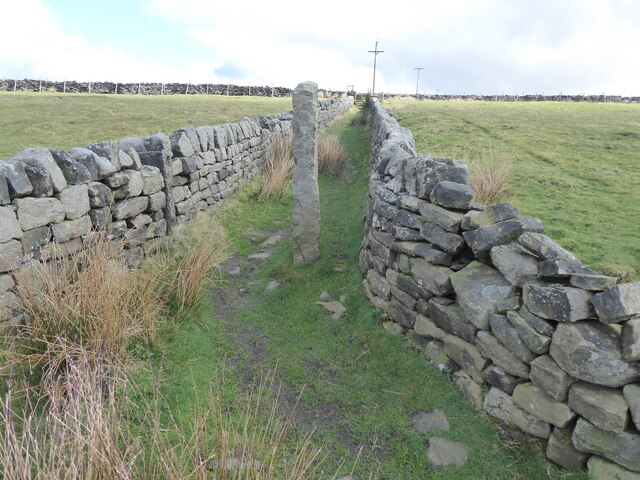
The cross itself is made of stone and stands at an impressive height of five meters. Its intricate carvings and detailed craftsmanship showcase the skilled workmanship of the time. The cross is adorned with various religious symbols, including crosses and biblical scenes, reflecting its religious importance in the community.

Reaps Cross has long been a gathering point for locals and visitors alike. It was a place of worship, providing a space for religious ceremonies and events. In addition, it served as a meeting point for merchants and travelers, acting as a hub for trade and commerce in the region.

Over the years, Reaps Cross has undergone restoration and preservation efforts to ensure its longevity. The local community takes great pride in this heritage site, recognizing its significance in representing the area's history and cultural heritage.

Today, visitors to Reaps Cross can explore the surrounding countryside, taking in the natural beauty of the area while immersing themselves in the rich history that the cross represents. The site serves as a reminder of the region's past and offers visitors a glimpse into the lives of those who lived here centuries ago.

If you have any feedback on the listing, please let us know in the comments section below.
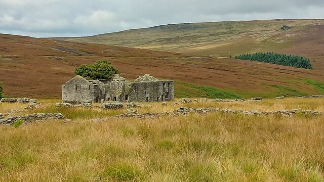
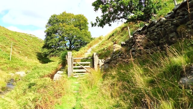
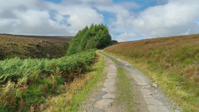
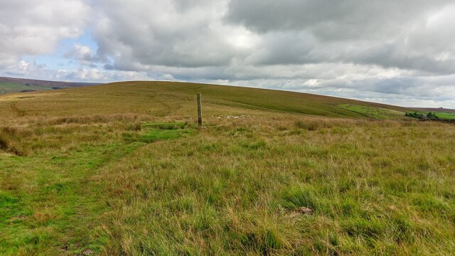
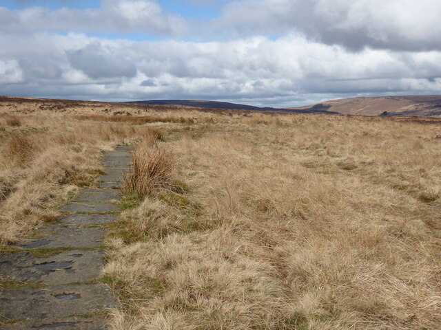
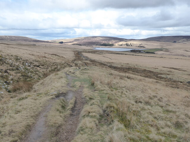
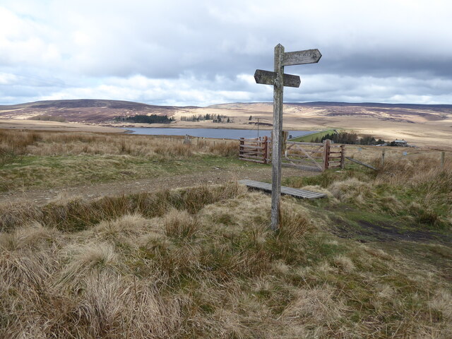
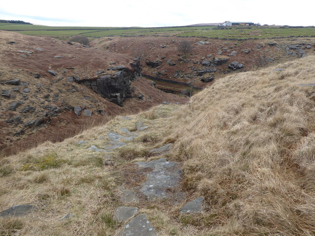
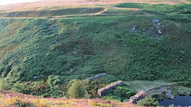
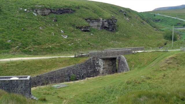
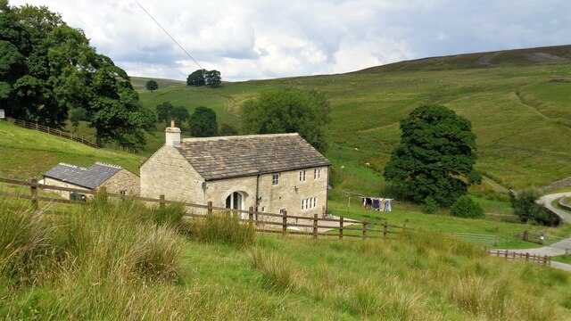
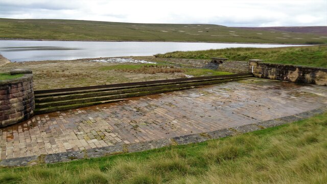
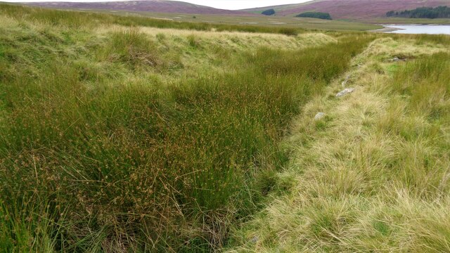
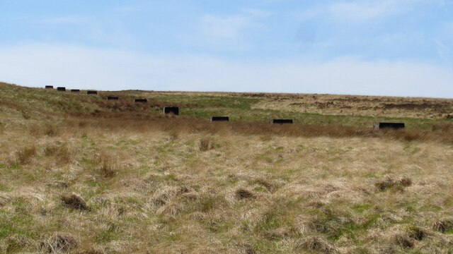
Reaps Cross Images

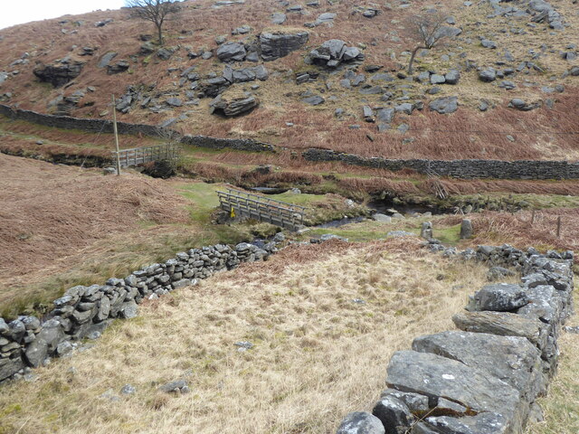
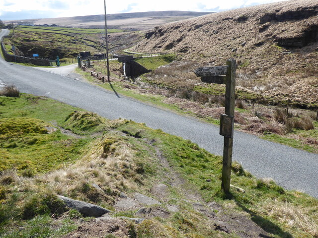
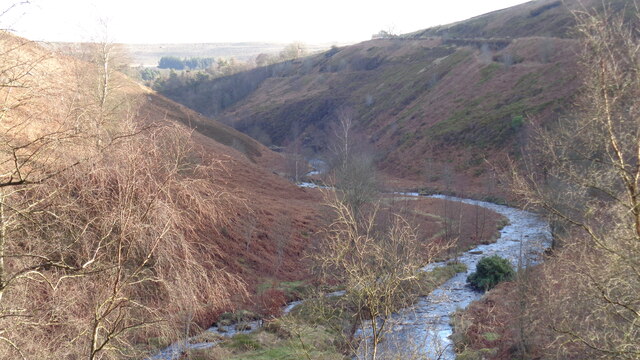
Images are sourced within 2km of 53.77/-2.083 or Grid Reference SD9430. Thanks to Geograph Open Source API. All images are credited.

Raistrick Greave Farmhouse ruin dating back to the 17th century.
Raistrick Greave
Farmhouse ruin dating back to the 17th century.
Pennine Way Packhorse route above Graining Water.
Pennine Way
Packhorse route above Graining Water.
Reservoir Road. This road links Gorple Lower Res to Gorple Upper Res.
Reservoir Road.
This road links Gorple Lower Res to Gorple Upper Res.
Reaps Cross The cross has been vandalized in the past but still has a presence on Reaps Edge high on  Heptonstall Moor.
Reaps Cross
The cross has been vandalized in the past but still has a presence on Reaps Edge high on Heptonstall Moor.
The Pennine Way near Clough Head Hill
The Pennine Way near King Common
The Pennine Way joins the Pennine Bridleway near Reaps Level
The Pennine Way near Gorple Cottages
The Pennine Way crossing Graining Water
The Pennine Way near The Ridge
The Pennine Way near Clough Foot
Confluence of Graining and Alcomden Waters At Blake Dean
Confluence of Graining and Alcomden Waters
At Blake Dean
Black Dean Overlooking the site of a railway trestle bridge built in conjunction with the construction of the Walshaw Dean Reservoirs. The masonry of the piers remains and the evident line of the trackbed earthworks across the valley shows the height of the trestle bridge
Black Dean
Overlooking the site of a railway trestle bridge built in conjunction with the construction of the Walshaw Dean Reservoirs. The masonry of the piers remains and the evident line of the trackbed earthworks across the valley shows the height of the trestle bridge
Reservoir Access Bridge Across Graining Water to give access to Gorple Reservoirs. It is also used by the Pennine Bridleway
Reservoir Access Bridge
Across Graining Water to give access to Gorple Reservoirs. It is also used by the Pennine Bridleway
Holme Ends Farmhouse A listed building recently renovated as residential
Holme Ends Farmhouse
A listed building recently renovated as residential
Gorpley Lower Reservoir Spillway
Old Tramway Route Used in conjunction with the building of the Gorpley Reservoirs. The lower reservoir is in the distance
Old Tramway Route
Used in conjunction with the building of the Gorpley Reservoirs. The lower reservoir is in the distance
Shooting Butts in Ling Hollow The butts lead up to the summit of Standing Stone Hill
Shooting Butts in Ling Hollow
The butts lead up to the summit of Standing Stone Hill
Show me another place!

Reaps Cross is located at Grid Ref: SD9430 (Lat: 53.77, Lng: -2.083)

Division: West Riding

Unitary Authority: Calderdale

Police Authority: West Yorkshire

What 3 Words

///trick.confining.unable. Near Cornholme, West Yorkshire

Nearby Locations

Reaps Cross Reaps Bottom

Related Wikis

Blake Dean Railway

The Blake Dean Railway was an approximately 5.5 miles (9 km) long 3 ft (914 mm) gauge narrow gauge railway on the edge of Hardcastle Crags Valley in West...

Colden, West Yorkshire

Colden is a hamlet in the civil parish of Heptonstall in Calderdale, West Yorkshire, England. Historically part of the West Riding of Yorkshire, the hamlet...

Blackshaw

Blackshaw is a civil parish in the Calderdale metropolitan borough of West Yorkshire, England. It contains the village of Blackshaw Head. According to...

Hardcastle Crags

Hardcastle Crags is a wooded Pennine valley in West Yorkshire, England, owned by the National Trust. Historically part of the West Riding of Yorkshire...

Nearby Amenities

Located within 500m of 53.77,-2.083
Reap's Cross
Historic: wayside_cross
Lat/Long: 53.7687507/-2.0870839
Standing Stone Hill
Ele: 398
Man Made: survey_point
Natural: peak
Lat/Long: 53.768753/-2.0757889
The data included in this document is from www.openstreetmap.org. The data is made available under ODbL.

Have you been to Reaps Cross?

Leave your review of Reaps Cross below (or comments, questions and feedback).