Reaps Bottom
Valley in Yorkshire
England
Reaps Bottom
The requested URL returned error: 429 Too Many Requests
If you have any feedback on the listing, please let us know in the comments section below.
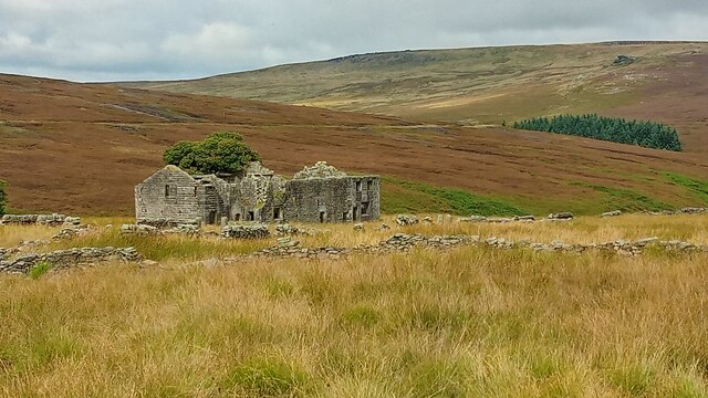
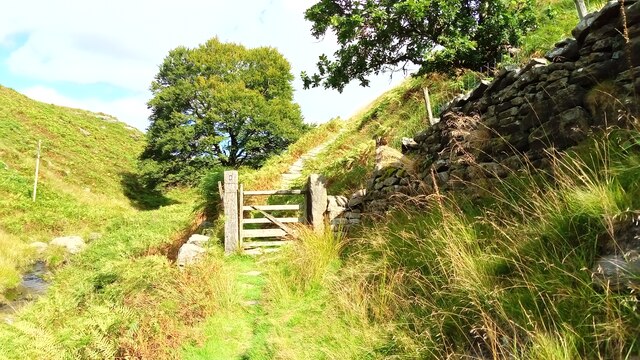
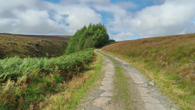
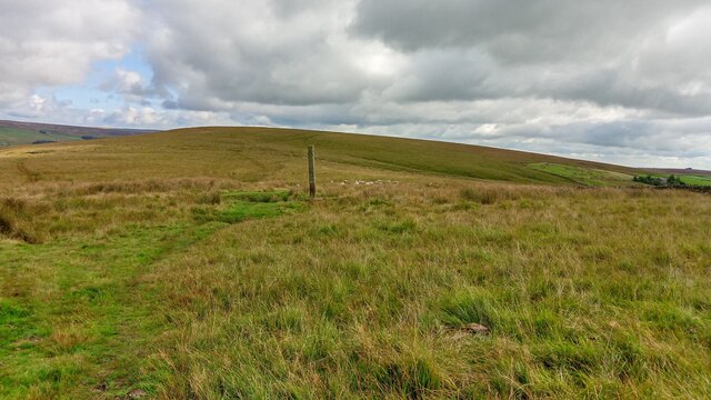
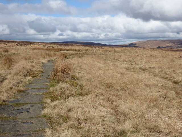
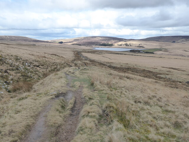
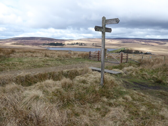
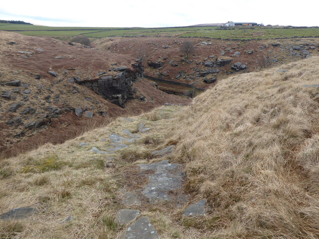
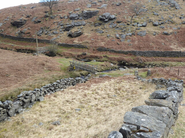
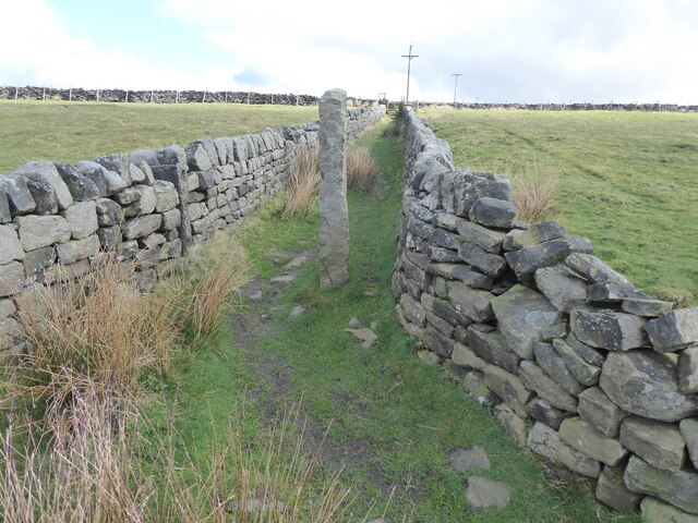
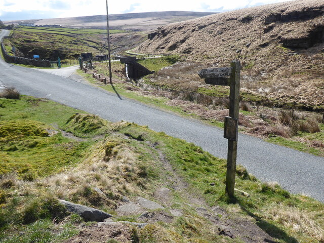
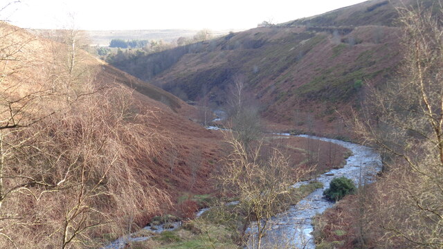
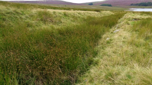
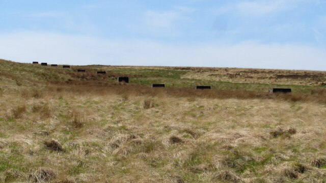
Reaps Bottom Images
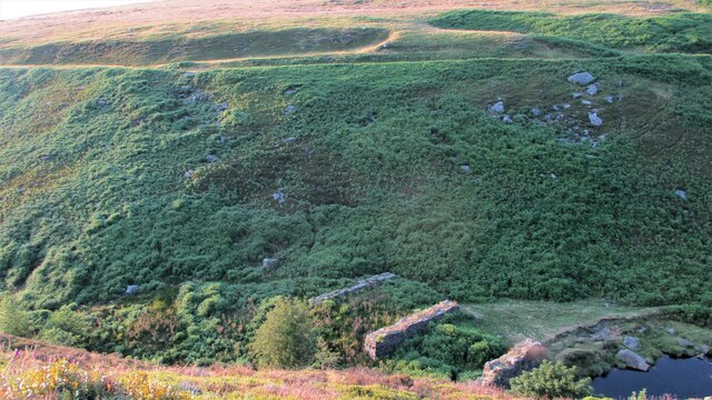
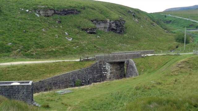
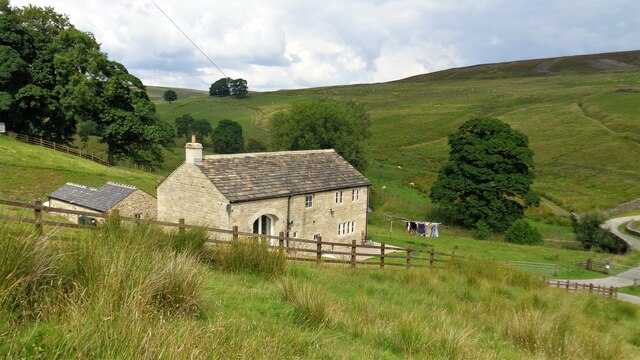
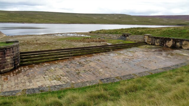
Images are sourced within 2km of 53.771216/-2.0848357 or Grid Reference SD9430. Thanks to Geograph Open Source API. All images are credited.
Reaps Bottom is located at Grid Ref: SD9430 (Lat: 53.771216, Lng: -2.0848357)
Division: West Riding
Unitary Authority: Calderdale
Police Authority: West Yorkshire
What 3 Words
///flopping.formless.inspects. Near Cornholme, West Yorkshire
Nearby Locations
Related Wikis

Blake Dean Railway
The Blake Dean Railway was an approximately 5.5 miles (9 km) long 3 ft (914 mm) gauge narrow gauge railway on the edge of Hardcastle Crags Valley in West...

Colden, West Yorkshire
Colden is a hamlet in the civil parish of Heptonstall in Calderdale, West Yorkshire, England. Historically part of the West Riding of Yorkshire, the hamlet...

Blackshaw
Blackshaw is a civil parish in the Calderdale metropolitan borough of West Yorkshire, England. It contains the village of Blackshaw Head. According to...

Hardcastle Crags
Hardcastle Crags is a wooded Pennine valley in West Yorkshire, England, owned by the National Trust. Historically part of the West Riding of Yorkshire...
Nearby Amenities
Located within 500m of 53.771216,-2.0848357Have you been to Reaps Bottom?
Leave your review of Reaps Bottom below (or comments, questions and feedback).